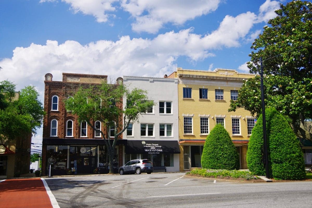
Photo: Wikipedia
Strategic Assessment of Forest City, NC
Meaningful friction. Expect exposure to either population pressure, blast zones, or natural disaster risk. Consider buying a retreat property.
What does the Strategic Assessment tell us?
Our Strategic Assessment grades tactical survivability of an area. Major population centers, military targets, fallout zones, natural disasters, and border exposure all drive risk — lower exposure means a more defensible position in a crisis.
This is heavily inspired by Joel Skousen's Strategic Relocation book. Highly recommended you checkout the book ($)What does this tell us?
Our Strategic Assessment grades tactical survivability of an area. Major population centers, military targets, fallout zones, natural disasters, and border exposure all drive risk — lower exposure means a more defensible position in a crisis.
This is heavily inspired by Joel Skousen's Strategic Relocation book. Highly recommended you checkout the book ($)Strategic Pillars

Key Distances
Regional Safe Places
Below is our recommended "safe zones" in North Carolina and the surrounding area based on our strategic heuristics. For most people, it's unrealistic to live in a “safe zone” full-time due to work, family or other personal reasons. They tend to be more rural. However, many of these areas are perfect for second homes and retreat properties that double as a vacation home or even a short-term rental.

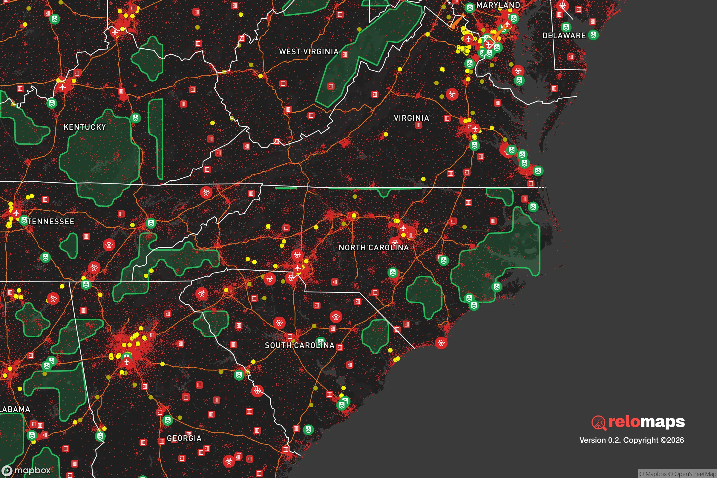


Important Note: For informational purposes only. This does not mean nothing bad ever happens in the green zones. Please use common sense. This is based on public data and modeled with AI. We tried to take a conservative approach but mistakes happen. We update this regularly as new information becomes available.
Solar Generator Recommendations
Backup power matters more here than in safer locations. We've picked three solar generators across budgets and capacity tiers — start with the budget unit if you only need a few essentials, or step up if you want to run a fridge and HVAC for days at a time.

Jackery Portable Power Station Explorer 300
Budget OptionPower on the Go: Weighing only 11 lbs, it's convenient to set up and store with book-sized foldable solar panels

BLUETTI Portable Power Station AC180
Designed for both indoor and outdoor scenarios, AC180 is highly capable as it has a robost capacity and continuous output power.

EF ECOFLOW DELTA Pro Ultra Power Station
Upgraded PickEcoFlow DELTA Pro Ultra is a whole-home energy system designed to grow with your family. Integrated with the Smart Home Panel 2, it scales to meet your evolving energy needs — keeping your home powered, intelligent, and secure through every stage of life.
We earn a commission, at no additional cost to you.
Strategic Assessment Analysis
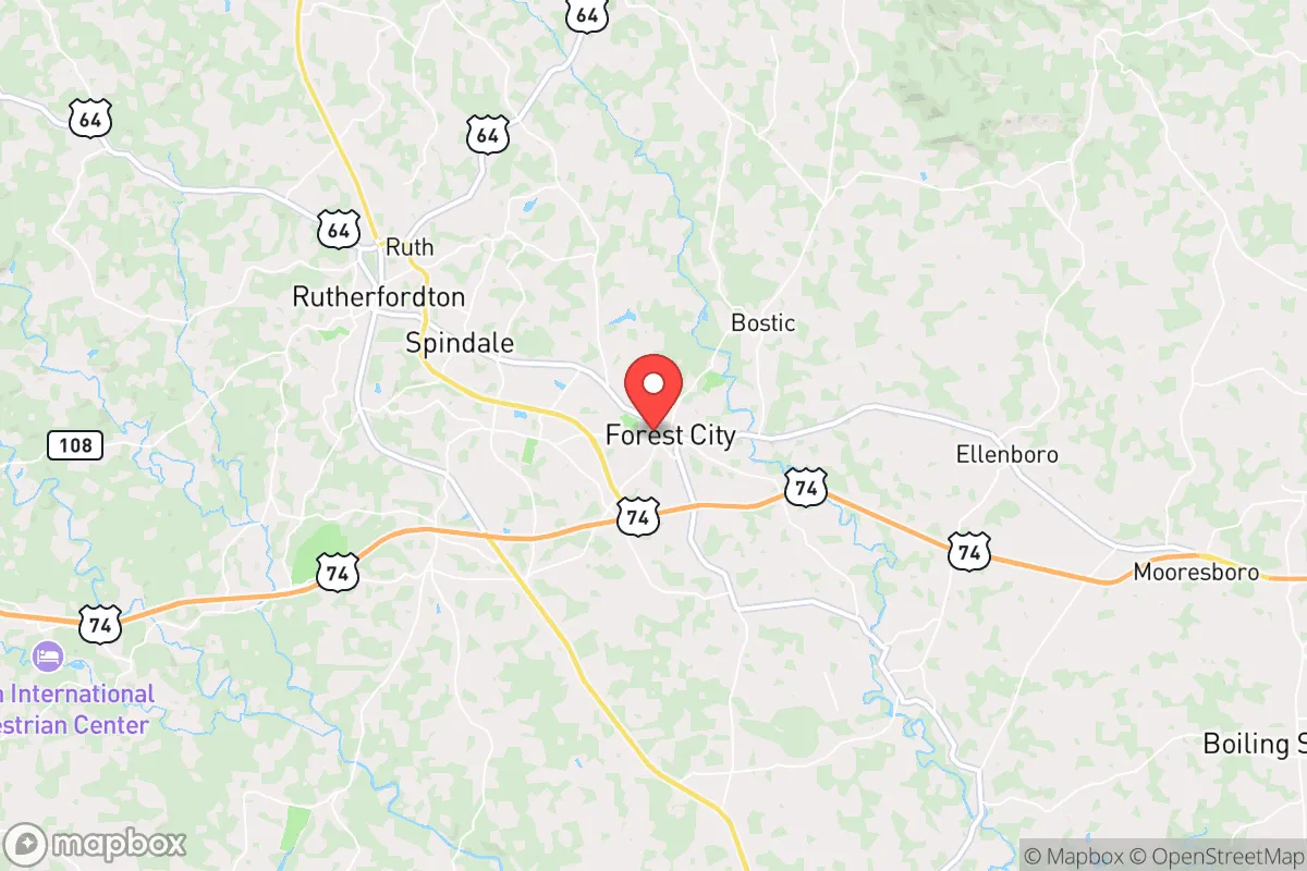
Forest City, North Carolina, presents a mixed strategic picture for the relocation-minded reader focused on resilience and self-sufficiency. Its position in the western Piedmont, roughly 70 miles west of Charlotte and 20 miles from the South Carolina border, offers a meaningful buffer from major metropolitan blast zones while still providing access to regional resources. The area’s historical economic resilience—rooted in textiles and furniture manufacturing, with a current pivot toward advanced manufacturing and healthcare—suggests a community accustomed to adapting, but its proximity to Interstate 26 and the rail corridor linking Asheville to Spartanburg introduces both logistical advantages and potential vulnerabilities that a serious preparedness-minded relocator must weigh carefully.
Geographic position and natural advantages for long-term stability
Forest City sits within the Blue Ridge foothills, a transitional zone between the Appalachian Mountains and the Piedmont plateau. This geography provides several concrete resilience benefits. The elevation, roughly 1,000 feet above sea level, places the town above the worst of the Piedmont’s summer heat and humidity, reducing cooling demands and agricultural stress. The surrounding terrain is hilly but not mountainous, offering natural defensibility—choke points along narrow valleys and ridges—without the isolation or severe weather exposure of higher elevations. The area lies outside the primary hurricane track that impacts the coastal plain, and while tropical remnants can bring heavy rain, the region is not prone to the catastrophic storm surge or wind damage seen nearer the coast. Tornado risk is moderate but lower than the Deep South or Great Plains; the last significant tornado event in Rutherford County was an EF-2 in 2011. Flooding is the most common natural hazard, concentrated along the Broad River and its tributaries, but Forest City’s core is situated on higher ground, with most floodplain development limited to agricultural and industrial zones. The local water supply is robust: the Broad River watershed, fed by mountain runoff, provides a reliable surface water source, and the town’s water treatment plant has capacity to serve a population several times its current size. For a relocator prioritizing long-term stability, the combination of moderate elevation, low hurricane risk, and ample water access is a genuine asset.
Risks, exposures, and proximity to fallout-relevant landmarks
The most significant strategic vulnerability for Forest City is its position relative to potential man-made and infrastructure risks. The town lies approximately 70 miles from Charlotte, a major financial hub and transportation node that would be a high-priority target in any large-scale conflict. While 70 miles provides a meaningful buffer against direct blast effects, fallout patterns are highly dependent on wind direction; prevailing westerlies could carry particulate from a Charlotte event toward the western Piedmont, including Forest City. More immediately concerning is the proximity to Interstate 26, a major east-west corridor that connects the port of Charleston to the interior. In a crisis, I-26 would become a primary evacuation route, potentially clogging local roads and drawing displaced populations into the area. The rail line running through Forest City—the Norfolk Southern S-Line—carries hazardous materials, including chlorine and ammonia, through the town’s core; a derailment or leak could force temporary evacuation of the downtown area. There are no nuclear power plants within a 50-mile radius (the nearest is Catawba Nuclear Station, about 60 miles southeast), but the Savannah River Site, a former nuclear weapons production facility, lies roughly 100 miles south. While not an immediate fallout risk, its presence adds a layer of long-term contamination concern for those thinking in decades. The area’s industrial history also leaves legacy environmental issues: several Superfund sites exist in Rutherford County, including the old Forest City Dump and the Morgan Plant, though both are contained and monitored. For the relocator, the key takeaway is that Forest City’s risks are primarily logistical and infrastructure-related rather than natural—a trade-off that favors those who can plan around road and rail vulnerabilities.
Practical resilience for a relocator: food, water, energy, and defensibility
For the individual or family serious about self-sufficiency, Forest City offers a workable but not exceptional baseline. The local food system is anchored by the Rutherford County Farmers Market and a network of small farms in the surrounding countryside; the area’s growing season runs roughly April through October, with fertile soils in the river bottoms suitable for vegetables, corn, and hay. Livestock operations are common, and the county has a strong tradition of home gardening and canning. However, the town itself has limited grocery redundancy—two major supermarkets (Walmart and Food Lion) serve the area, and both rely on just-in-time supply chains. A relocator should plan for at least three months of stored food and a home garden to achieve meaningful food security. Water resilience is stronger: the Broad River provides a year-round surface source, and the average annual rainfall of 50 inches means rainwater catchment is viable for most properties. Well water is common in rural areas outside town limits, with typical depths of 100-300 feet and good yields. The local power grid is served by Duke Energy, with a mix of coal, natural gas, and hydroelectric sources; outages are common during winter ice storms and summer thunderstorms, typically lasting 4-12 hours. Solar potential is moderate—the area receives about 4.5 peak sun hours per day—making off-grid solar a realistic supplement but not a full replacement without battery storage. Defensibility is the area’s strongest resilience feature: the hilly terrain and limited road network (primarily US 74, NC 221, and NC 108) create natural chokepoints, and the low population density (about 120 people per square mile in the county) means that a prepared household can maintain operational security more easily than in suburban or urban settings. The local law enforcement presence is modest—the Forest City Police Department has about 25 officers—so community-based security arrangements would be prudent for those planning long-term.
The overall strategic picture for Forest City is one of moderate resilience with clear trade-offs. It offers genuine advantages in water availability, terrain-based defensibility, and distance from primary target zones, but those benefits are offset by infrastructure vulnerabilities tied to I-26 and the rail corridor, as well as the legacy of industrial contamination. For the relocator who is willing to invest in food storage, rainwater catchment, and a modest solar setup, the area provides a solid foundation for a self-sufficient lifestyle without the extreme isolation or harsh climate of more remote mountain locations. The community’s manufacturing heritage and recent economic diversification suggest a population that is pragmatic and resourceful—traits that matter in a crisis. Forest City is not a bug-out location; it is a live-and-prepare location, best suited for those who want to build resilience gradually while maintaining access to regional healthcare, employment, and supply chains. The key is to treat the area’s proximity to Charlotte and I-26 not as a dealbreaker, but as a factor that demands active planning—knowing your evacuation routes, securing your water supply, and building relationships with neighbors who share your preparedness mindset. In a world of increasing uncertainty, Forest City offers a defensible middle ground: close enough to civilization to matter, far enough to survive.

* Values derived from national, state, county, city and local statistics and may differ in a specific area. Last updated: 2026-09-30T19:36:50.000Z
Narrative content on this page is AI-generated and may contain mistakes. Verify any details that matter before acting on them.
ReloMaps may earn a commission from affiliate links at no extra cost to you.

