
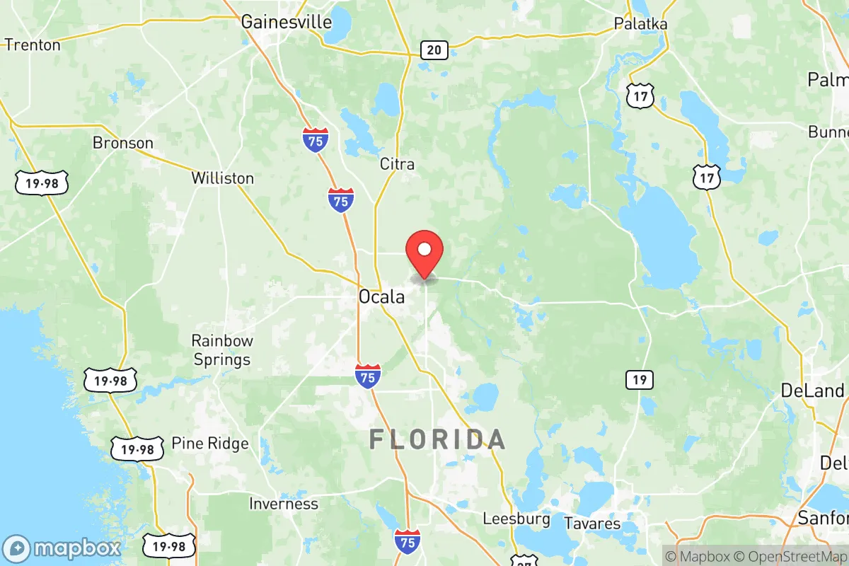
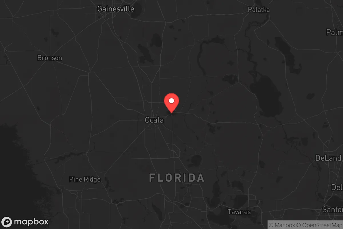
Strategic Assessment of Marion County
Meaningful friction. Expect exposure to either population pressure, blast zones, or natural disaster risk. Consider buying a retreat property.
What does the Strategic Assessment tell us?
Our Strategic Assessment grades tactical survivability of an area. Major population centers, military targets, fallout zones, natural disasters, and border exposure all drive risk — lower exposure means a more defensible position in a crisis.
This is heavily inspired by Joel Skousen's Strategic Relocation book. Highly recommended you checkout the book ($)What does this tell us?
Our Strategic Assessment grades tactical survivability of an area. Major population centers, military targets, fallout zones, natural disasters, and border exposure all drive risk — lower exposure means a more defensible position in a crisis.
This is heavily inspired by Joel Skousen's Strategic Relocation book. Highly recommended you checkout the book ($)Strategic Pillars

Key Distances
Strategic Assessment Analysis
Marion County, Florida, offers a strategic relocation option for those prioritizing disaster resilience and self-sufficiency, balancing proximity to major metro areas with a distinct buffer of rural and forested land. Its location—roughly equidistant from Jacksonville, Orlando, and Tampa—provides access to urban resources while maintaining a lower population density and a more defensible, spread-out geography. For a conservative-leaning reader focused on preparedness, the county’s mix of natural barriers, agricultural capacity, and limited exposure to the state’s most acute risks makes it a serious contender, though not without specific vulnerabilities that demand attention.
Geographic position and natural advantages for disaster readiness
Marion County sits in north-central Florida, roughly 80 miles from the Atlantic coast and 70 miles from the Gulf of Mexico. This inland position is its single greatest geographic advantage: it is far enough from either coast to avoid the worst of hurricane storm surge, which historically devastates coastal communities like Cedar Key or Daytona Beach. The county’s elevation averages around 80–100 feet above sea level, with the Ocala National Forest covering much of the eastern third—a vast, sparsely populated area that provides natural cover and a buffer against urban sprawl. The forest’s dense pine and scrub oak terrain also limits the spread of wildfire under normal conditions, though it remains a risk during drought. For a relocator, the presence of the Ocala National Forest means ample public land for hunting, foraging, and off-grid retreat, while the county’s numerous freshwater springs—Silver Springs being the most famous—offer reliable water sources independent of municipal systems. The area’s karst topography, with its limestone aquifers, means groundwater is generally abundant and accessible via wells, a critical factor for long-term self-sufficiency.
Risks, exposures, and proximity to fallout-relevant landmarks
While Marion County avoids the worst of coastal hurricane impacts, it is not immune to tropical storms and inland flooding. The county’s primary natural risk is wildfire, particularly in the Ocala National Forest and surrounding scrublands, where dry-season burns are common. The 1998 wildfire season, which burned over 500,000 acres statewide, included significant fires in Marion County, and the risk persists. Flooding is localized, mostly along the Ocklawaha River and around the many sinkhole-prone areas—sinkholes themselves are a real but manageable hazard, typically affecting individual properties rather than entire communities. Man-made risks are comparatively low. The county has no major refineries, chemical plants, or nuclear facilities within its borders. The nearest significant fallout-relevant landmarks are the Crystal River Nuclear Plant (about 50 miles west, in Citrus County) and the Port of Tampa (roughly 90 miles south), which handles large volumes of petroleum and chemicals. Neither poses a direct fallout threat under normal conditions, but a major incident at Crystal River could affect downwind areas in western Marion County. More practically, the county’s proximity to Orlando (75 miles southeast) and Jacksonville (80 miles northeast) means that a major disaster or civil disruption in those cities could trigger refugee flows into Marion County, straining local resources. The county’s two largest cities—Ocala (population ~65,000) and Belleview (population ~5,000)—are the primary population centers; the rest of the county is rural, with small towns like Dunnellon and Citra offering more isolated living options. For a relocator, the key exposure is not direct attack but secondary effects from nearby metro areas.
Practical resilience for a relocator: food, water, energy, and defensibility
Marion County’s practical resilience is strong, particularly for those willing to invest in off-grid infrastructure. Water is the county’s standout resource: the Floridan Aquifer lies beneath the entire area, and private wells are common in rural parcels. Many properties in the Ocala National Forest area and around Dunnellon already rely on wells, and drilling a new well typically costs $3,000–$8,000, depending on depth. Surface water from the Ocklawaha River and numerous springs is also available, though treatment is necessary. Food production is viable year-round, with a growing season that extends from March to November. The county has a strong agricultural base—hay, cattle, and citrus are major crops—and the Ocala National Forest provides wild game (deer, turkey, feral hogs) for hunting. Local farmers’ markets in Ocala and Belleview offer fresh produce, and the county’s many feed-and-seed stores support small-scale farming. Energy is more of a challenge. The grid is served by Duke Energy Florida, which relies on a mix of natural gas, coal, and solar. Power outages from hurricanes or storms are common, typically lasting 1–3 days in rural areas. Solar is a viable supplement: the county averages 230 sunny days per year, and net metering is available, though grid-tied systems require utility approval. Off-grid solar with battery storage is legal and increasingly common among preparedness-minded residents. Defensibility is mixed. The county’s rural character—large lots, long driveways, and wooded buffers—makes individual properties easier to secure than suburban subdivisions. However, the Ocala National Forest’s open-access roads and trails mean that a determined group could approach from multiple directions. The local sheriff’s office (Marion County Sheriff’s Office) is well-funded and has a strong presence in rural areas, but response times in the forest can exceed 30 minutes. For a relocator, the best defensibility comes from choosing a property with a single access point, good visibility, and a reliable water source—many such parcels exist in the areas around Salt Springs and Fort McCoy.
The overall strategic picture for Marion County is one of moderate-to-high resilience with manageable trade-offs. Its inland location, abundant water, and agricultural capacity make it one of Florida’s better options for long-term self-sufficiency, especially compared to coastal counties or those near major industrial targets. The primary risks—wildfire, sinkholes, and secondary effects from nearby metro areas—are predictable and mitigable with proper planning. For a conservative-leaning relocator who values space, natural resources, and a lower risk profile, Marion County offers a solid foundation. The key is to avoid the most fire-prone forest edges and to secure a property with independent water and energy systems. It is not a fortress, but it is a defensible, resource-rich base in a state where most options are far less resilient.

* Values derived from national, state, county, city and local statistics and may differ in a specific area. Last updated: 2026-06-18T05:08:24.000Z
Narrative content on this page is AI-generated and may contain mistakes. Verify any details that matter before acting on them.
ReloMaps may earn a commission from affiliate links at no extra cost to you.

