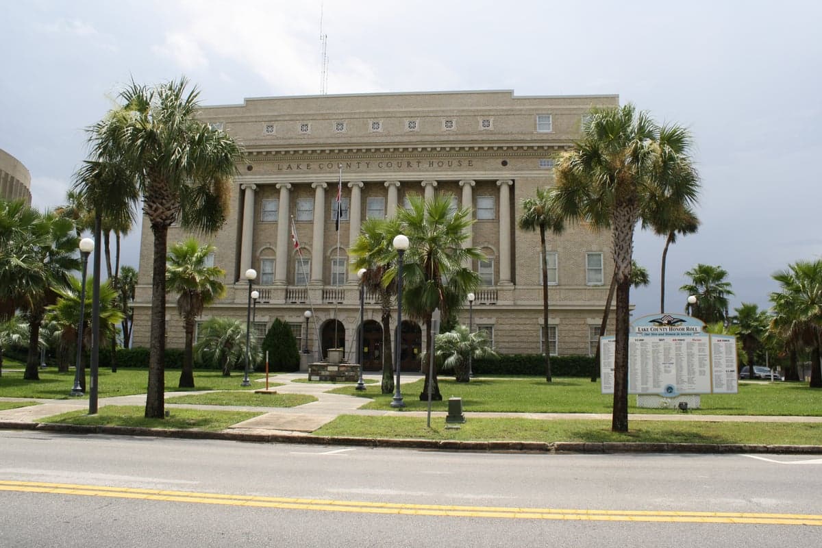
Photo: Wikipedia
Strategic Assessment of Lake County
Meaningful friction. Expect exposure to either population pressure, blast zones, or natural disaster risk. Consider buying a retreat property.
What does the Strategic Assessment tell us?
Our Strategic Assessment grades tactical survivability of an area. Major population centers, military targets, fallout zones, natural disasters, and border exposure all drive risk — lower exposure means a more defensible position in a crisis.
This is heavily inspired by Joel Skousen's Strategic Relocation book. Highly recommended you checkout the book ($)What does this tell us?
Our Strategic Assessment grades tactical survivability of an area. Major population centers, military targets, fallout zones, natural disasters, and border exposure all drive risk — lower exposure means a more defensible position in a crisis.
This is heavily inspired by Joel Skousen's Strategic Relocation book. Highly recommended you checkout the book ($)Strategic Pillars

Key Distances
Strategic Assessment Analysis
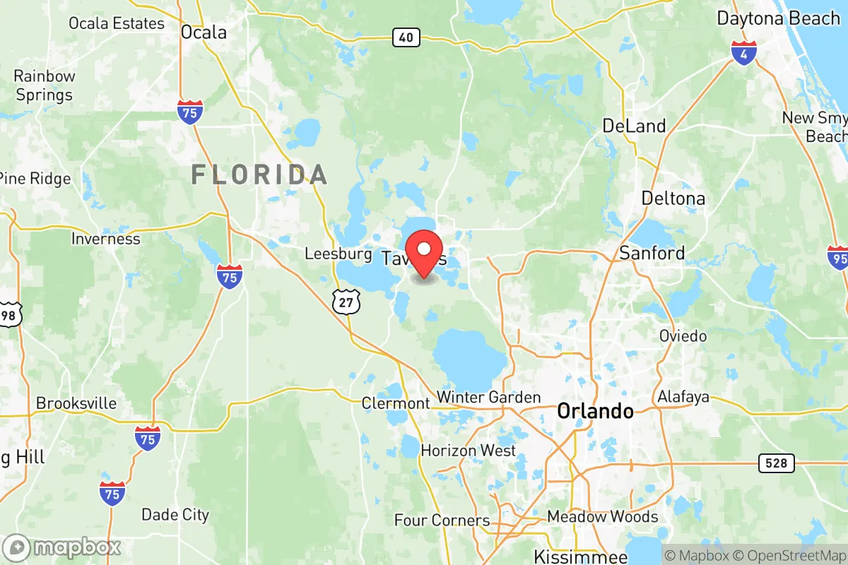
Lake County, Florida, offers a strategic balance of rural buffer and practical access that appeals to relocation-minded individuals and families focused on resilience and self-sufficiency. Located roughly 30 miles northwest of Orlando and 45 miles east of the Gulf Coast, the county avoids the direct fallout risks of major metropolitan centers while still providing reasonable proximity to supply routes and medical infrastructure. With a population of just over 400,000 spread across 1,157 square miles, Lake County presents a lower-density alternative to the crowded I-4 corridor, anchored by towns like Tavares, Mount Dora, Eustis, Leesburg, and Clermont — each offering distinct advantages for a relocator weighing long-term security and daily livability.
Geographic position and natural advantages for long-term security
Lake County sits on the Lake Wales Ridge, a sandy, elevated spine that runs through central Florida, providing natural drainage and reduced flood risk compared to coastal or swampier areas. The county is named for its more than 1,000 lakes, including the Harris Chain of Lakes, which offer both scenic value and practical water access. The region's elevation — averaging 100 to 150 feet above sea level — is a meaningful advantage in a state where much of the population lives within a few feet of sea level. This higher ground reduces vulnerability to storm surge and flooding from hurricanes, a key consideration for anyone assessing long-term habitability. The area's subtropical climate supports year-round growing seasons, with an average 230 frost-free days, making small-scale food production feasible for families interested in self-sufficiency. The Ocala National Forest lies just to the north, providing a large undeveloped buffer zone and potential foraging or timber resources, while the Green Swamp — a 560,000-acre protected watershed — borders the county to the southwest, limiting suburban sprawl and preserving natural water recharge areas.
Risk exposure: hurricanes, wildfires, and proximity to fallout-relevant landmarks
While Lake County avoids the worst of coastal hurricane impacts, it is not immune. The region experiences tropical storm-force winds roughly once every three to five years, and direct hurricane hits are less frequent but possible — Hurricane Ian in 2022 brought sustained tropical storm winds and localized flooding to the area. The greater risk comes from wildfire, particularly in the pine flatwoods and scrub ecosystems that dominate the county's rural stretches. During dry spring months, fire danger can spike, and several large wildfires have occurred near the Ocala National Forest and the Green Swamp in recent decades. For a relocator thinking about man-made risks, Lake County's position relative to major infrastructure is a mixed picture. The county is roughly 50 miles from the Kennedy Space Center at Cape Canaveral, a potential target in a conflict scenario, and about 60 miles from the Port of Tampa, a major shipping and fuel hub. Closer to home, the Leesburg Regional Airport and the Orlando-Sanford International Airport (about 40 miles east) are moderate-risk aviation assets. The county is also within 100 miles of the St. Lucie Nuclear Power Plant (southeast) and the Crystal River Nuclear Plant (west, currently decommissioned but still a radiological site). None of these are immediate proximity threats, but they are within a radius that a strategic-minded relocator should note. The absence of major military bases, refineries, or dense industrial corridors within the county itself is a net positive for those prioritizing low-target living.
Practical resilience for a relocator: food, water, energy, and defensibility
Lake County's practical resilience profile is strong for a Florida location, though not without limitations. Water access is a standout advantage: the Floridan Aquifer lies beneath the county, providing abundant groundwater, and the many lakes offer surface water sources for those with filtration systems. Most rural properties rely on private wells, which is a resilience plus compared to municipal systems that can fail during grid outages. Food production is viable, with sandy soils that drain well and are suitable for citrus, vegetables, and root crops. The county has a robust agricultural sector — cattle ranching, sod farming, and plant nurseries are common — and local farmers' markets operate year-round in Mount Dora, Eustis, and Leesburg. For those seeking land, parcels of 5 to 20 acres are still available in the northern and western parts of the county, particularly around Umatilla and Astatula, at prices significantly below the Orlando metro average. Energy resilience is a weaker point: the county is served by Duke Energy Florida and SECO Energy, both of which have experienced storm-related outages. Solar potential is good, with an average of 237 sunny days per year, and off-grid solar installations are becoming more common among rural homeowners. Defensibility is moderate — the county's many lakes and wetlands create natural chokepoints and barriers, but the terrain is generally flat and open, offering limited cover. Rural properties with long driveways, perimeter fencing, and good sightlines are available, particularly in the less developed areas north of State Road 44. The county's law enforcement presence is spread thin in remote areas, which cuts both ways: less surveillance but also slower response times. For a family or individual, the key is to choose a property with good access to secondary roads that avoid the major choke points like US-27 and SR-19 during an evacuation scenario.
The overall strategic picture for Lake County is one of moderate-to-strong resilience with clear trade-offs. It offers genuine advantages in water availability, elevation, and agricultural potential that are rare in Florida, and its distance from high-value targets like Orlando's theme parks, Tampa's port, and Cape Canaveral reduces the likelihood of being in a primary fallout zone. The main downsides are the hurricane and wildfire risks, which are manageable with proper construction and defensible space, and the gradual urbanization creeping north from Orlando, which is slowly increasing population density and reducing rural buffer. For a relocator who values self-sufficiency and is willing to invest in well water, solar power, and fire-resistant landscaping, Lake County — particularly the areas around Yalaha, Howey-in-the-Hills, and northern Lake County near the Ocala National Forest — represents one of the more defensible and resource-secure options in central Florida. It is not a bunker location, but it is a practical, livable choice for someone who wants to be prepared without living off the grid entirely.

* Values derived from national, state, county, city and local statistics and may differ in a specific area. Last updated: 2026-11-14T03:18:18.000Z
Narrative content on this page is AI-generated and may contain mistakes. Verify any details that matter before acting on them.
ReloMaps may earn a commission from affiliate links at no extra cost to you.

