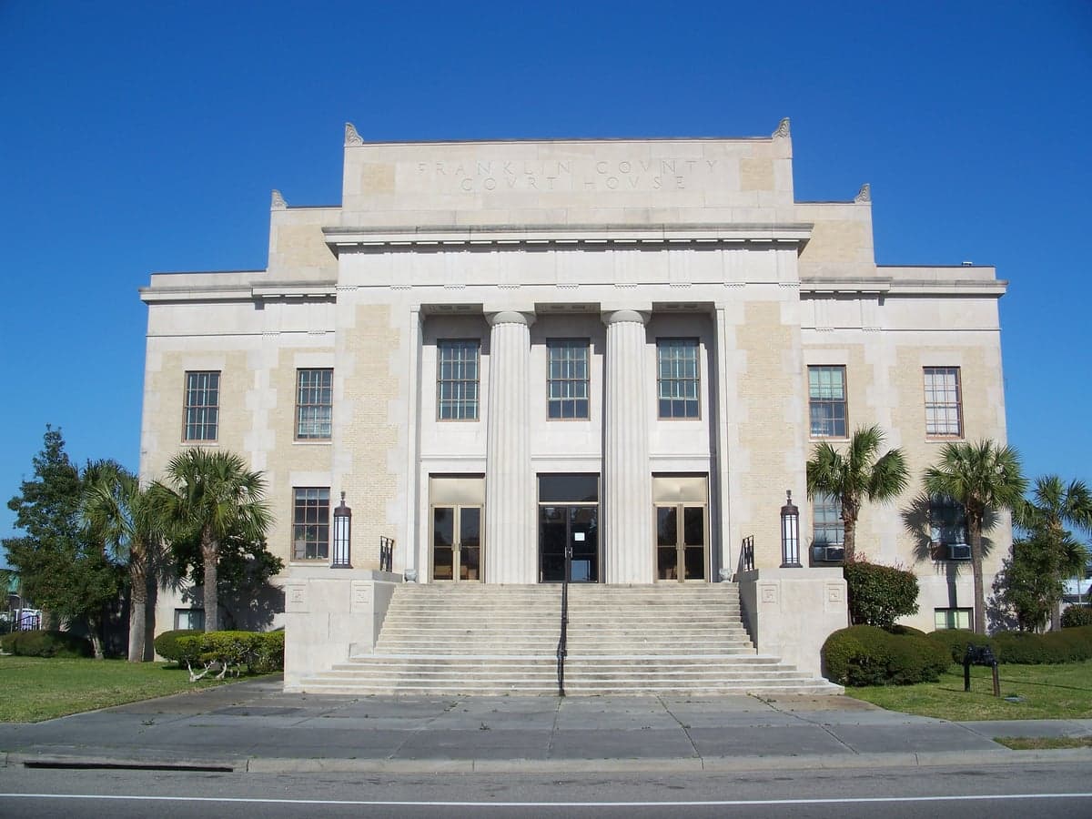
Photo: Wikipedia
Strategic Assessment of Franklin County
Workable tactical position. Some exposure to population density or targets, but generally defensible in a crisis.
What does the Strategic Assessment tell us?
Our Strategic Assessment grades tactical survivability of an area. Major population centers, military targets, fallout zones, natural disasters, and border exposure all drive risk — lower exposure means a more defensible position in a crisis.
This is heavily inspired by Joel Skousen's Strategic Relocation book. Highly recommended you checkout the book ($)What does this tell us?
Our Strategic Assessment grades tactical survivability of an area. Major population centers, military targets, fallout zones, natural disasters, and border exposure all drive risk — lower exposure means a more defensible position in a crisis.
This is heavily inspired by Joel Skousen's Strategic Relocation book. Highly recommended you checkout the book ($)Strategic Pillars

Key Distances
Strategic Assessment Analysis
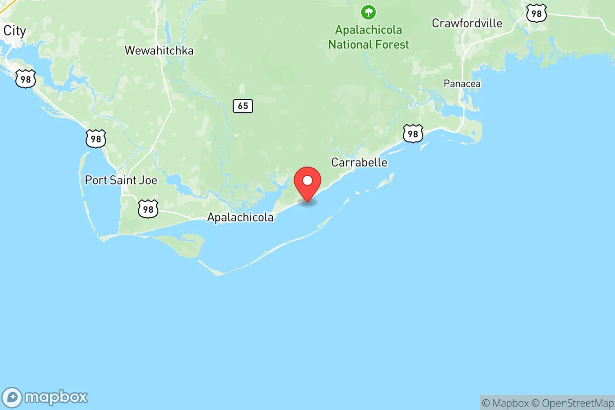
Franklin County, Florida, offers a distinctive strategic profile for relocators prioritizing resilience and self-sufficiency, blending remote coastal geography with surprising logistical advantages. Situated along the Gulf of Mexico in the Florida Panhandle, the county is anchored by the small towns of Apalachicola, Carrabelle, and Eastpoint, with a population under 12,000 spread across a largely rural, forested landscape. Its position—roughly 75 miles southwest of Tallahassee and 60 miles east of Panama City—places it far from major metropolitan centers, reducing exposure to the cascading failures of large urban grids, while its location on the Forgotten Coast keeps it off the main hurricane landfall corridor that frequently hits the central Gulf Coast. For a reader weighing disaster readiness and self-sufficiency, Franklin County’s low population density, limited industrial footprint, and access to natural resources make it a compelling, though not risk-free, option.
Geographic position and natural advantages for long-term resilience
Franklin County’s geography is defined by the Apalachicola River and Bay system, the largest river drainage in Florida, which provides a reliable freshwater source and rich estuarine ecosystems. The county sits on a low-lying coastal plain, with elevations rarely exceeding 30 feet, but its interior—particularly around the Tate’s Hell State Forest and the Apalachicola National Forest—offers dense pine flatwoods and cypress swamps that serve as natural buffers against storm surge and provide ample cover for off-grid living. The barrier islands, including St. George Island and Dog Island, shield the mainland from the worst of Gulf storms, though they are themselves vulnerable. The region’s subtropical climate means a long growing season (over 250 frost-free days), supporting year-round food production, and the Apalachicola Bay is one of the most productive oyster fisheries on the East Coast, offering a local protein source independent of supply chains. The county’s remoteness from major highways—U.S. 98 is the primary east-west route, with no interstate access—limits through-traffic and reduces the risk of evacuation gridlock, but also means that emergency services and resupply can be slow. For a relocator, the key advantage is the combination of abundant surface water, fertile soil, and low population density, which together create a foundation for long-term self-sufficiency that is rare in coastal Florida.
Natural and man-made risks: storm exposure, industrial proximity, and fallout concerns
Franklin County’s primary natural risk is hurricanes, with the region experiencing direct hits roughly once every 10-15 years, most notably Hurricane Michael in 2018, which caused catastrophic damage in nearby Mexico Beach but spared Franklin County the worst due to its easterly track. Storm surge is the greatest threat along the coast, with Apalachicola and Carrabelle vulnerable to Category 2+ surges of 6-10 feet, while inland areas around Eastpoint and the forested interior are safer but still face wind damage and prolonged power outages. The county’s low elevation means that even minor storm events can flood low-lying roads, isolating communities for days. On the man-made risk side, Franklin County benefits from a lack of major industrial targets: there are no refineries, chemical plants, or nuclear facilities within 50 miles. The nearest significant fallout-relevant landmarks are the Port of Panama City (60 miles west), a major shipping hub for petroleum and chemicals, and the St. Marks National Wildlife Refuge area (40 miles east), which hosts a small Coast Guard station but no high-value military assets. The closest military base is Tyndall Air Force Base near Panama City, which was heavily damaged by Hurricane Michael and is undergoing reconstruction—its presence is a moderate risk for secondary effects (e.g., military traffic or emergency response diversion) but not a primary fallout target. For a relocator concerned about nuclear or industrial accidents, Franklin County’s isolation from the Gulf Coast’s refinery corridor (centered on Houston and Mobile) and its distance from major military installations like Fort Moore (Georgia) or Naval Air Station Pensacola (150 miles west) are significant positives. However, the county’s location on the Gulf means it is downwind of potential airborne contaminants from the broader region, and its reliance on a single major road (U.S. 98) for evacuation is a vulnerability.
Practical resilience for a relocator: food, water, energy, and defensibility
For a relocator focused on self-sufficiency, Franklin County offers strong practical resilience in several key areas. Water is abundant: the Apalachicola River provides a year-round surface water source, and the underlying Floridan Aquifer is accessible via shallow wells (typically 50-150 feet deep) with excellent water quality, though saltwater intrusion is a concern near the coast. Food production is viable: the county has a long agricultural history, with local farms producing vegetables, citrus, and livestock, and the bay provides seafood year-round. The Apalachicola National Forest and Tate’s Hell offer hunting (deer, wild hog, turkey) and foraging (mushrooms, berries), though game pressure is moderate due to the small population. Energy independence is achievable: solar potential is good, with an average of 5.5 peak sun hours per day, and the county’s rural character means fewer restrictions on off-grid systems, though permitting through Franklin County’s building department is required. Propane is widely available for backup generation, and wood heating is practical given the forested landscape. Defensibility is mixed: the county’s low population density and limited road network (only two major routes in and out: U.S. 98 and State Road 65) make it easy to monitor access points, but the flat, open terrain of the coast offers little natural cover, and the interior’s dense swamps can be impassable. The small, tight-knit communities of Apalachicola (pop. 2,200) and Carrabelle (pop. 2,600) have strong local social networks, which is a resilience asset, but outsiders may face a long integration period. The county’s lack of a major hospital (the nearest is in Panama City) and limited law enforcement presence (Franklin County Sheriff’s Office has about 30 deputies) mean that medical emergencies and security incidents require self-reliance. For a relocator, the practical takeaway is that Franklin County provides the raw resources for off-grid living—water, food, energy—but demands a high level of personal preparedness, especially for medical and security needs.
The overall strategic picture for Franklin County is one of moderate resilience with clear trade-offs. Its geographic isolation, abundant natural resources, and lack of high-value targets make it a strong candidate for a relocator seeking to avoid the risks of urban centers and industrial corridors. The county’s exposure to hurricanes and coastal flooding is real but manageable with proper site selection (inland, elevated, and away from flood zones), and its distance from fallout-relevant landmarks like Tyndall AFB and the Port of Panama City reduces the risk of secondary effects. However, the same isolation that provides security also creates vulnerabilities: limited evacuation routes, slow emergency response, and a thin healthcare infrastructure. For a family or individual willing to invest in robust off-grid systems—solar, well, septic, food storage—and to integrate into a small, self-reliant community, Franklin County offers a defensible, resource-rich base. It is not a bug-out location for a short-term crisis, but a long-term homesteading environment where resilience is built through local knowledge and preparation. The Forgotten Coast lives up to its name: overlooked by developers and disaster planners alike, which is precisely its strategic value.

* Values derived from national, state, county, city and local statistics and may differ in a specific area. Last updated: 2026-11-13T17:13:36.000Z
Narrative content on this page is AI-generated and may contain mistakes. Verify any details that matter before acting on them.
ReloMaps may earn a commission from affiliate links at no extra cost to you.

