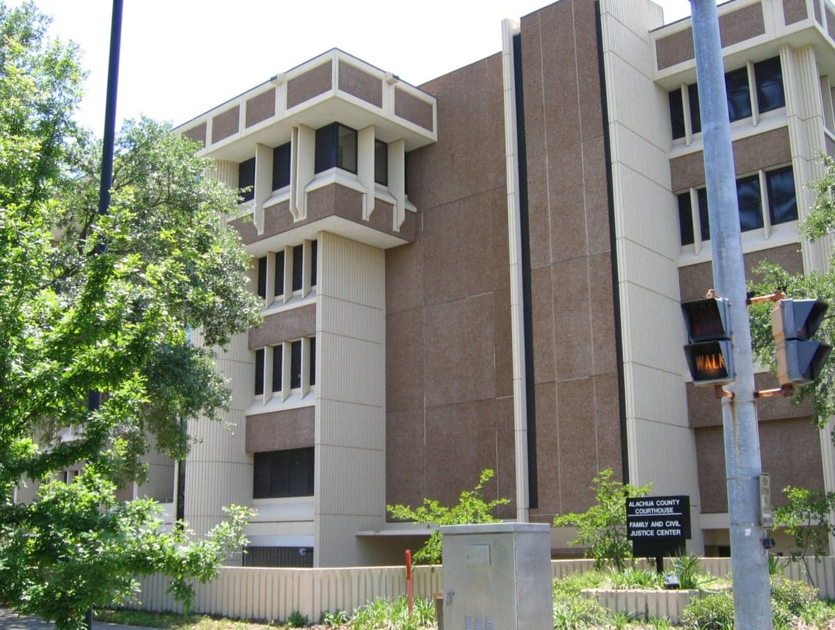
Photo: Wikipedia
Strategic Assessment of Alachua County
Meaningful friction. Expect exposure to either population pressure, blast zones, or natural disaster risk. Consider buying a retreat property.
What does the Strategic Assessment tell us?
Our Strategic Assessment grades tactical survivability of an area. Major population centers, military targets, fallout zones, natural disasters, and border exposure all drive risk — lower exposure means a more defensible position in a crisis.
This is heavily inspired by Joel Skousen's Strategic Relocation book. Highly recommended you checkout the book ($)What does this tell us?
Our Strategic Assessment grades tactical survivability of an area. Major population centers, military targets, fallout zones, natural disasters, and border exposure all drive risk — lower exposure means a more defensible position in a crisis.
This is heavily inspired by Joel Skousen's Strategic Relocation book. Highly recommended you checkout the book ($)Strategic Pillars

Key Distances
Strategic Assessment Analysis
Alachua County offers a compelling mix of geographic isolation from major metropolitan fallout zones and robust local infrastructure, making it a serious contender for relocation-minded individuals prioritizing resilience. Anchored by Gainesville but stretching into rural towns like Alachua, High Springs, and Hawthorne, the county sits inland from both the Atlantic and Gulf coasts, reducing exposure to hurricane storm surge and naval-target risks. Its position along the I-75 corridor provides practical access to supplies and medical care without the density that makes a city a primary strategic target.
Geographic position and natural advantages for disaster readiness
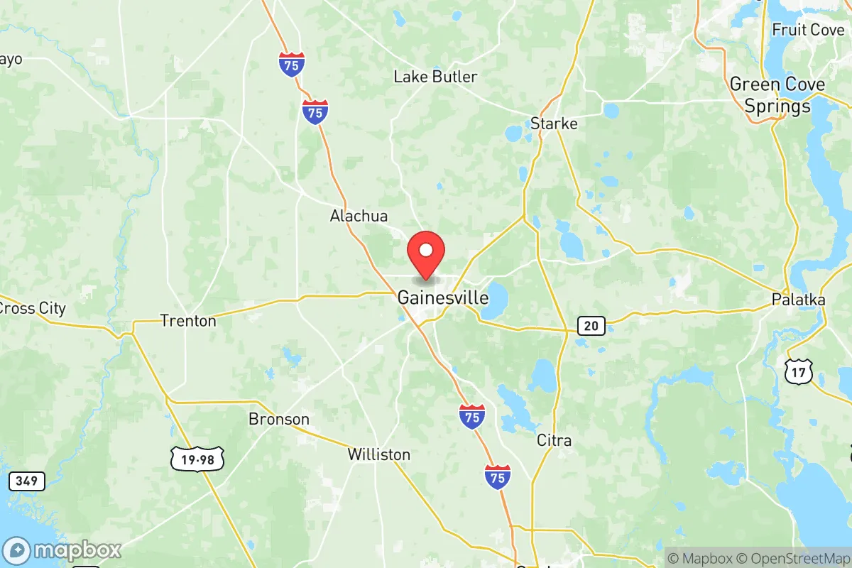
Alachua County’s inland location is its strongest geographic card. Unlike coastal counties in Florida, it is not vulnerable to storm surge or direct naval-target scenarios. The county sits atop the Floridan Aquifer, one of the most productive freshwater sources in the United States, which gives residents a significant water-security advantage over areas reliant on surface reservoirs or desalination plants. The terrain is rolling hills and mixed hardwood-pine forests, offering natural cover and defensible positions that are rare in Florida’s otherwise flat landscape. The county is roughly 90 miles from the Port of Jacksonville and 120 miles from Tampa’s port and MacDill Air Force Base — close enough for supply runs but far enough to avoid primary blast or fallout zones. The rural towns of Archer and Micanopy provide additional buffer space for those seeking lower population density within the county.
Risks, exposures, and proximity to fallout-relevant landmarks
While Alachua County avoids the highest-risk coastal and metropolitan zones, it is not without exposure. The county lies about 60 miles southwest of Naval Submarine Base Kings Bay in Georgia, a primary strategic target that could generate significant fallout patterns depending on wind direction. Gainesville itself is home to the University of Florida and UF Health Shands Hospital — a major medical and research hub that could become a secondary target or a convergence point for refugees. The I-75 corridor, while useful for logistics, also serves as a primary evacuation route from Tampa and Orlando, meaning post-event traffic and population movement could overwhelm local resources. There are no major refineries or ports within the county, but the CSX rail line running through Alachua and Waldo carries hazardous materials, presenting a localized industrial accident risk. Hurricane-force winds and tornadoes remain a seasonal threat, though inland positioning reduces the severity compared to coastal zones.
Practical resilience for a relocator: food, water, energy, and defensibility
Alachua County’s practical resilience is above average for Florida. The agricultural base is strong, with row crops, cattle operations, and timberland in the western and northern parts of the county. The Alachua County Farmers Market in Gainesville operates year-round, and smaller markets in High Springs and Newberry support local food networks. Water access is excellent: private wells are common in rural areas, and the Santa Fe River system provides surface water with proper filtration. The county has multiple solar farms and a biomass plant at the Gainesville Renewable Energy Center, offering some grid diversification, though most residential power still comes from Duke Energy’s natural gas and coal mix. For defensibility, the rural towns of LaCrosse and Earleton offer low-visibility, low-density living with good road access to Gainesville’s hospitals and supply chains. The county’s law enforcement presence includes the Alachua County Sheriff’s Office and multiple municipal police departments, but rural response times can exceed 20 minutes, making personal preparedness and community networks essential.
The overall strategic picture for Alachua County is one of moderate-to-strong resilience with clear trade-offs. It avoids the worst of Florida’s coastal and metropolitan vulnerabilities while retaining access to medical, logistical, and agricultural resources. The primary concerns are proximity to Kings Bay’s fallout potential and the risk of post-event population influx along I-75. For a relocator who values self-sufficiency and is willing to invest in well water, solar backup, and local food networks, the county offers a defensible base of operations. It is not a remote bunker — it is a working, livable region with real infrastructure and real risks, but the balance leans favorably for those who plan ahead.

* Values derived from national, state, county, city and local statistics and may differ in a specific area. Last updated: 2026-07-12T07:58:14.000Z
Narrative content on this page is AI-generated and may contain mistakes. Verify any details that matter before acting on them.
ReloMaps may earn a commission from affiliate links at no extra cost to you.

