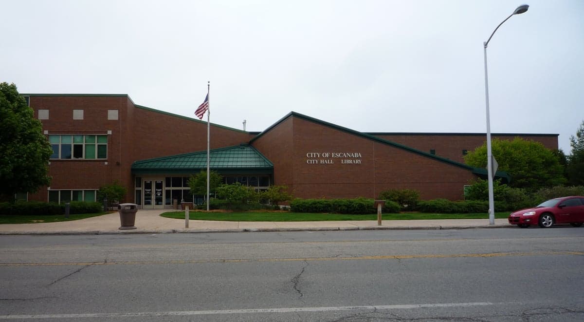
Photo: Wikipedia
Strategic Assessment of Escanaba, MI
Workable tactical position. Some exposure to population density or targets, but generally defensible in a crisis.
What does the Strategic Assessment tell us?
Our Strategic Assessment grades tactical survivability of an area. Major population centers, military targets, fallout zones, natural disasters, and border exposure all drive risk — lower exposure means a more defensible position in a crisis.
This is heavily inspired by Joel Skousen's Strategic Relocation book. Highly recommended you checkout the book ($)What does this tell us?
Our Strategic Assessment grades tactical survivability of an area. Major population centers, military targets, fallout zones, natural disasters, and border exposure all drive risk — lower exposure means a more defensible position in a crisis.
This is heavily inspired by Joel Skousen's Strategic Relocation book. Highly recommended you checkout the book ($)Strategic Pillars

Key Distances
Regional Safe Places
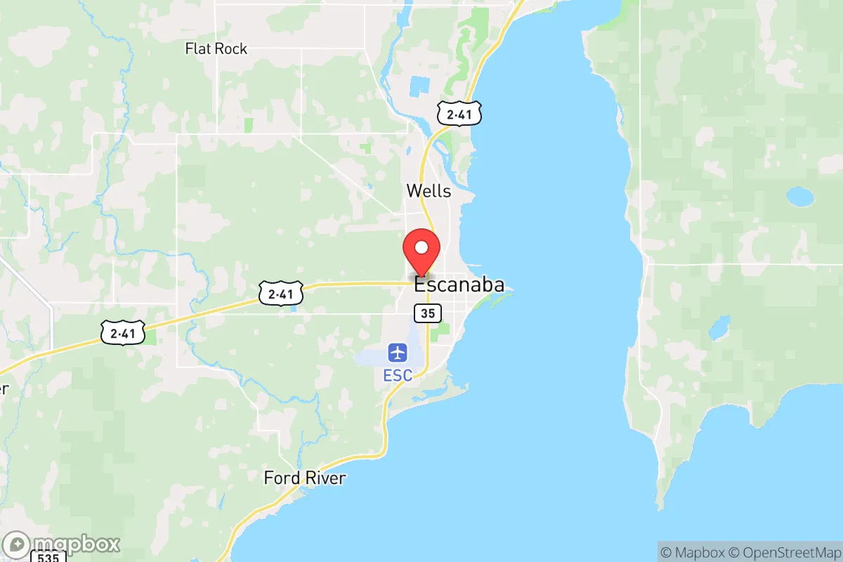
Below is our recommended "safe zones" in Michigan and the surrounding area based on our strategic heuristics. For most people, it's unrealistic to live in a “safe zone” full-time due to work, family or other personal reasons. They tend to be more rural. However, many of these areas are perfect for second homes and retreat properties that double as a vacation home or even a short-term rental.


Important Note: For informational purposes only. This does not mean nothing bad ever happens in the green zones. Please use common sense. This is based on public data and modeled with AI. We tried to take a conservative approach but mistakes happen. We update this regularly as new information becomes available.
Solar Generator Recommendations
Backup power matters more here than in safer locations. We've picked three solar generators across budgets and capacity tiers — start with the budget unit if you only need a few essentials, or step up if you want to run a fridge and HVAC for days at a time.
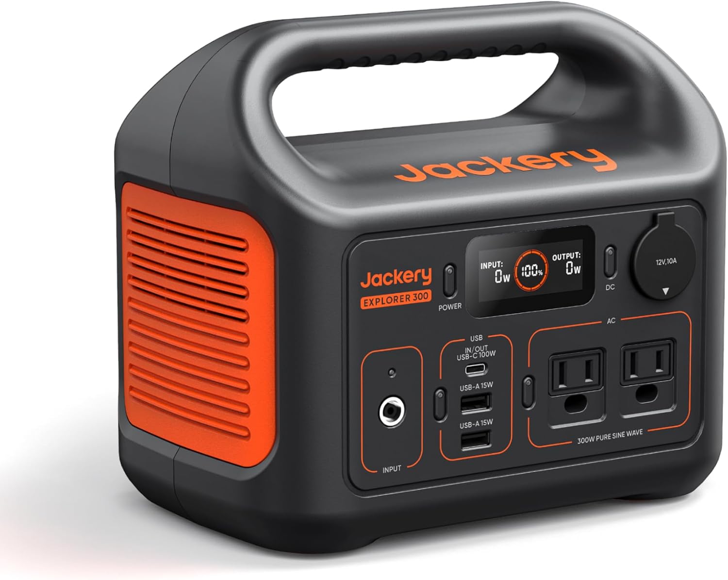
Jackery Portable Power Station Explorer 300
Budget OptionPower on the Go: Weighing only 11 lbs, it's convenient to set up and store with book-sized foldable solar panels

BLUETTI Portable Power Station AC180
Designed for both indoor and outdoor scenarios, AC180 is highly capable as it has a robost capacity and continuous output power.

EF ECOFLOW DELTA Pro Ultra Power Station
Upgraded PickEcoFlow DELTA Pro Ultra is a whole-home energy system designed to grow with your family. Integrated with the Smart Home Panel 2, it scales to meet your evolving energy needs — keeping your home powered, intelligent, and secure through every stage of life.
We earn a commission, at no additional cost to you.
Strategic Assessment Analysis
Escanaba, Michigan, offers a compelling strategic profile for the relocation-minded reader focused on resilience and self-sufficiency, largely because of its position on the Upper Peninsula's southern shore. This is not a place of frantic growth or high-profile risk; it is a quietly durable community with deep natural buffers and a history of weathering economic and environmental shifts. For those serious about disaster readiness, Escanaba’s combination of freshwater access, low population density, and distance from major metropolitan targets provides a foundation that is difficult to replicate in the Lower Peninsula or much of the Midwest. The key question is not whether it is safe—it is, by most measures—but whether its specific trade-offs in isolation, climate, and infrastructure align with your definition of preparedness.
Geographic position and natural advantages for long-term stability
Escanaba sits on Little Bay de Noc, an arm of Lake Michigan, giving it a strategic freshwater advantage that is increasingly rare and valuable. The city is roughly 60 miles north of the Wisconsin border and about 120 miles north of Green Bay, placing it well outside the commuter belts of any major urban center. This distance from large cities is a deliberate plus for resilience: it reduces exposure to cascading failures from metropolitan grid collapse, civil unrest, or fallout from a distant event. The surrounding Delta County is heavily forested and sparsely populated—about 37,000 people across 1,991 square miles—which means natural resources like timber, game, and water are abundant and accessible. The region’s bedrock geology, primarily limestone and dolomite, provides stable ground for well drilling and underground construction, and the area is not prone to earthquakes, sinkholes, or significant seismic activity. The climate is cold, with average winter lows around 10°F and substantial lake-effect snow, but this cold itself acts as a natural barrier to many biological and chemical threats, and it slows the spread of wildfires. For a relocator, the fundamental takeaway is that Escanaba is positioned in a low-density, high-resource zone with a reliable freshwater coastline—a combination that is hard to beat for long-term stability.
Risks, exposures, and proximity to fallout-relevant landmarks
No location is without exposure, and Escanaba’s risks are worth a sober assessment. The most significant man-made concern is the Escanaba Generating Station, a coal-fired power plant on the waterfront that is scheduled for retirement by 2028. While not a nuclear facility, its coal ash ponds and fuel storage represent a localized contamination risk in the event of a major flood or structural failure. More broadly, the Upper Peninsula is not a primary target for strategic strikes, but the region does host critical infrastructure: the Soo Locks at Sault Ste. Marie, about 90 miles northeast, are a chokepoint for Great Lakes shipping and a plausible target in a conflict scenario. Escanaba itself is a port for iron ore shipments, which adds a secondary risk profile. Natural hazards are limited but real: severe winter storms can isolate the city for days, and the area sits in a moderate risk zone for tornadoes (typically EF0-EF2), though they are far less frequent than in the Plains. Flooding is a concern along the bay shoreline and the Escanaba River, especially during spring thaw or heavy rain events. The city’s elevation (about 600 feet above sea level) and the bay’s orientation provide some protection against storm surge, but a prolonged power outage in winter is the most probable serious emergency. For the resilience-minded, the key is that Escanaba’s risks are largely manageable with basic preparation—unlike coastal hurricane zones or earthquake-prone regions—but the isolation factor means you cannot rely on rapid outside help.
Practical resilience for a relocator: food, water, energy, and defensibility
For someone serious about self-sufficiency, Escanaba offers a strong baseline with some important caveats. Water is the standout asset: the city draws from Lake Michigan via the Escanaba River, and the municipal supply is treated and reliable. For off-grid setups, the water table is high in much of the county, and shallow wells (30-60 feet) are common, though you should test for iron and sulfur. The bay itself provides an essentially unlimited surface water source, but you will need filtration or boiling for safe consumption. Food resilience is moderate: the growing season is short (roughly 100-120 frost-free days), limiting what you can cultivate outdoors, but cold frames and high tunnels can extend it significantly. Local agriculture is modest—hay, some livestock, and small-scale vegetable farms—but the surrounding forests offer abundant deer, small game, and fish (whitefish, perch, walleye) from the bay and inland lakes. The Escanaba Farmers Market operates from May to October, and there are several local meat processors and a co-op grocery. For long-term storage, the cold climate is a natural advantage. Energy is a vulnerability: the grid is served by Cloverland Electric Cooperative and Upper Peninsula Power Company, both of which have experienced outages during severe storms. Solar is viable but limited in winter due to snow cover and short daylight hours; a backup generator or wood heat is almost mandatory for serious preparedness. Wood is plentiful and cheap—most rural properties have access to hardwood stands. Defensibility is good but not fortress-like: the city itself is compact and walkable, but the surrounding rural areas offer excellent natural concealment and multiple egress routes (US-2, US-41, M-35). The population is generally self-reliant and community-oriented, with a strong hunting and outdoor culture that aligns with preparedness values. The nearest major medical center is OSF St. Francis Hospital in Escanaba, which is a 24-hour emergency facility but not a Level 1 trauma center—for serious care, you are looking at a 2-hour drive to Green Bay or Marquette.
The overall strategic picture for Escanaba is one of quiet, workmanlike resilience rather than dramatic self-sufficiency. It is not a prepper’s paradise—you will need to invest in winterization, backup power, and food storage to bridge the gaps—but it offers a rare combination of freshwater access, low population density, and distance from high-value targets that is increasingly hard to find in the continental U.S. The trade-offs are real: harsh winters, limited economic opportunity, and a long drive to major services. But for a relocator who values stability over convenience and is willing to put in the work, Escanaba represents a defensible, resource-rich anchor point in a region that is likely to remain off the radar of most large-scale disruptions. If you are looking for a place that will not make headlines, but will quietly support a prepared household through most plausible scenarios, this is a strong candidate worth a serious look.

* Values derived from national, state, county, city and local statistics and may differ in a specific area. Last updated: 2026-11-05T17:51:37.000Z
Narrative content on this page is AI-generated and may contain mistakes. Verify any details that matter before acting on them.
ReloMaps may earn a commission from affiliate links at no extra cost to you.

