
Strategic Assessment of Dora, MO
Strong survivability profile. Good buffer from population centers, with manageable environmental and tactical risks.
What does the Strategic Assessment tell us?
Our Strategic Assessment grades tactical survivability of an area. Major population centers, military targets, fallout zones, natural disasters, and border exposure all drive risk — lower exposure means a more defensible position in a crisis.
This is heavily inspired by Joel Skousen's Strategic Relocation book. Highly recommended you checkout the book ($)What does this tell us?
Our Strategic Assessment grades tactical survivability of an area. Major population centers, military targets, fallout zones, natural disasters, and border exposure all drive risk — lower exposure means a more defensible position in a crisis.
This is heavily inspired by Joel Skousen's Strategic Relocation book. Highly recommended you checkout the book ($)Strategic Pillars

Key Distances
Regional Safe Places
Below is our recommended "safe zones" in Missouri and the surrounding area based on our strategic heuristics. For most people, it's unrealistic to live in a “safe zone” full-time due to work, family or other personal reasons. They tend to be more rural. However, many of these areas are perfect for second homes and retreat properties that double as a vacation home or even a short-term rental.


Important Note: For informational purposes only. This does not mean nothing bad ever happens in the green zones. Please use common sense. This is based on public data and modeled with AI. We tried to take a conservative approach but mistakes happen. We update this regularly as new information becomes available.
Solar Generator Recommendations
Backup power matters more here than in safer locations. We've picked three solar generators across budgets and capacity tiers — start with the budget unit if you only need a few essentials, or step up if you want to run a fridge and HVAC for days at a time.

Jackery Portable Power Station Explorer 300
Budget OptionPower on the Go: Weighing only 11 lbs, it's convenient to set up and store with book-sized foldable solar panels

BLUETTI Portable Power Station AC180
Designed for both indoor and outdoor scenarios, AC180 is highly capable as it has a robost capacity and continuous output power.

EF ECOFLOW DELTA Pro Ultra Power Station
Upgraded PickEcoFlow DELTA Pro Ultra is a whole-home energy system designed to grow with your family. Integrated with the Smart Home Panel 2, it scales to meet your evolving energy needs — keeping your home powered, intelligent, and secure through every stage of life.
We earn a commission, at no additional cost to you.
Strategic Assessment Analysis
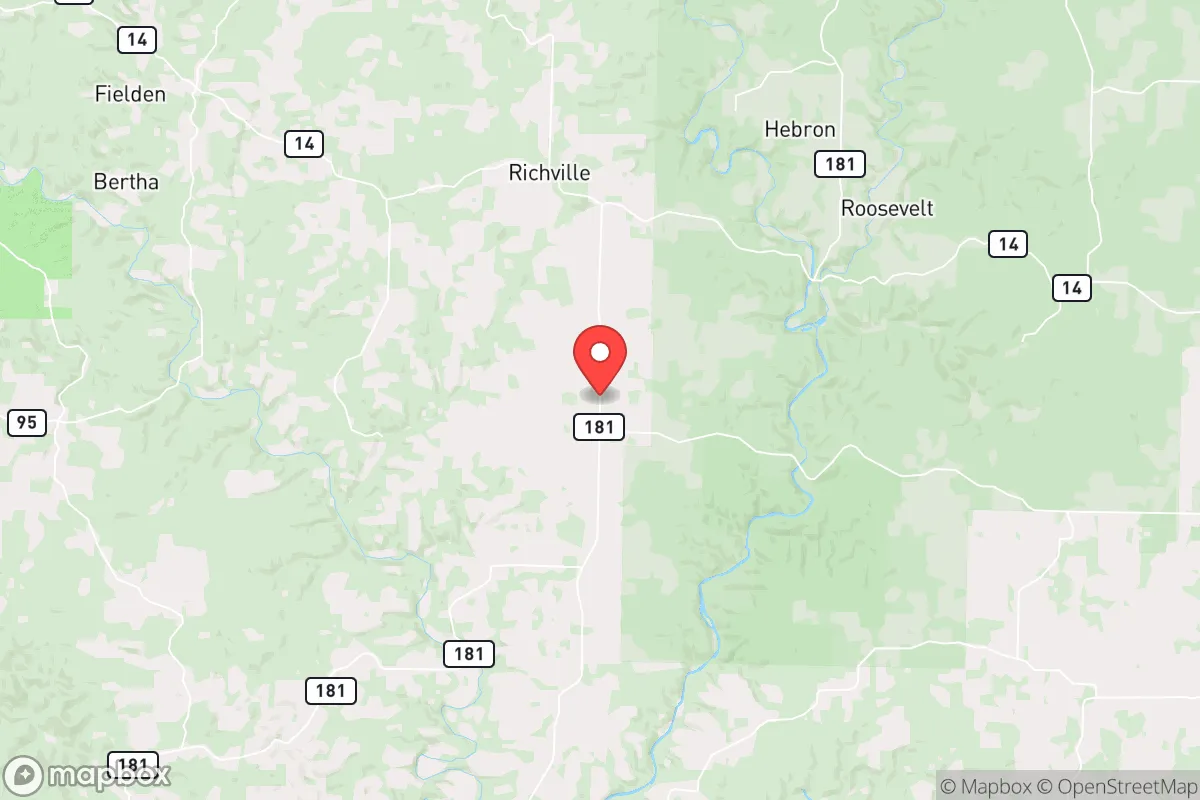
Dora, Missouri, sits in a pocket of the Ozarks that offers a genuine strategic advantage for those prioritizing resilience and self-sufficiency, precisely because it is far enough from major metropolitan targets to avoid the worst of a cascading collapse, yet close enough to access critical resources if you plan ahead. Located in Ozark County, roughly 30 miles west of West Plains and 50 miles east of Branson, this unincorporated community of fewer than 200 people is surrounded by the Mark Twain National Forest and the Norfork Lake watershed. For a relocator thinking about disaster readiness, Dora presents a low-profile, high-resilience option that rewards preparation and local knowledge, but it is not without its own set of risks and logistical challenges.
Geographic position and natural advantages for long-term self-sufficiency
Dora's primary strength is its position within the Ozark Plateau, a region characterized by rugged hills, limestone bluffs, and abundant spring-fed creeks. This topography provides natural defensibility—the winding, low-traffic county roads (like Highway 181 and Highway 95) create chokepoints that would be difficult for large, disorganized groups to navigate, while offering multiple egress routes for those who know the terrain. The area sits well above the flood-prone river bottoms, with most homes built on elevated ridges or hillsides, reducing the risk of flash flooding even during heavy rain events. The underlying karst geology means groundwater is generally accessible via shallow wells, though yields vary significantly by location—a critical factor for anyone planning to drill a well for off-grid water. The Mark Twain National Forest, which abuts Dora to the north and east, offers a massive buffer of public land (over 1.5 million acres across the forest) that can serve as a foraging, hunting, and timber resource, though it also attracts recreational traffic during normal times. The region's moderate climate—with average highs in the 80s in summer and lows in the 20s in winter—reduces the energy burden for heating and cooling compared to more extreme climates, and the 40-45 inches of annual rainfall supports rain catchment systems and gardening without the drought risks of the western U.S.
Risk exposure: natural hazards and proximity to fallout-relevant landmarks
While Dora avoids the worst of coastal hurricane threats and seismic activity, it is not immune to natural hazards. The primary risks are severe thunderstorms, tornadoes, and occasional ice storms. Ozark County sits in the southern edge of "Tornado Alley," and while direct hits are infrequent, the area experiences several tornado warnings each year. The 2011 Joplin tornado, about 120 miles northwest, is a reminder that even rural areas can face catastrophic events. Ice storms, like the 2009 event that knocked out power across southern Missouri for up to two weeks, are a recurring winter threat that can isolate communities and damage infrastructure. Wildfire risk is moderate, with the greatest danger in late summer and early fall when dry conditions combine with abundant leaf litter in the forest. From a man-made risk perspective, Dora's greatest vulnerability is its proximity to potential fallout targets. The nearest significant population center is Springfield, Missouri, about 90 miles northwest, home to a major transportation hub, a large medical complex, and a National Guard base—all potential secondary targets in a conflict. Branson, 50 miles west, is a major tourist destination that could become a refugee magnet. More critically, the White River watershed, which feeds Norfork Lake and the North Fork River, flows through Dora's area; any contamination upstream from a strike on the Bull Shoals Dam or a chemical release near Springfield could affect local water sources. The nearest nuclear power plant is the Arkansas Nuclear One near Russellville, about 130 miles south—outside the immediate fallout zone but within the range of a plume under certain wind conditions. The area's low population density (about 12 people per square mile in Ozark County) is a double-edged sword: it reduces the likelihood of being targeted directly, but it also means emergency services are thin and response times can be hours, not minutes.
Practical resilience for a relocator: food, water, energy, and defensibility
For someone serious about self-sufficiency, Dora offers a solid foundation but requires significant upfront investment. Water is the most critical resource: the area's numerous springs and creeks (like Bryant Creek and the North Fork River) provide surface water, but it must be filtered or boiled due to agricultural runoff and wildlife contamination. A drilled well is the gold standard, with typical depths of 100-300 feet and costs ranging from $5,000 to $15,000. Rainwater catchment is viable given the annual rainfall, but storage tanks and first-flush diverters are necessary. Food production is feasible with the region's growing season of about 180 days (April to October). The rocky, acidic soil requires amendment—raised beds with compost and lime are common—but the climate supports a wide variety of vegetables, fruits, and nuts. Deer, turkey, and squirrel are abundant for hunting, and the forest provides mushrooms, berries, and medicinal plants. Local agriculture is limited; the nearest grocery store is in Gainesville (15 miles south) or West Plains (30 miles east), so a garden and food storage are essential for anyone planning to stay through a disruption. Energy resilience is a mixed picture: the area is served by White River Valley Electric Cooperative, which has a decent reliability record but is vulnerable to ice storms and tree falls. Solar is viable, with about 200 sunny days per year, but the tree canopy on many properties limits panel placement. Wood heat is the most practical backup, with abundant firewood available on private and public land. Defensibility is a strong point for those on larger parcels (20+ acres). The hilly terrain, dense forest, and limited road access make it easy to create a secure perimeter. However, the community is small and tight-knit; newcomers should expect a period of building trust. The local sheriff's office in Ozark County has about 10 deputies for the entire county, so law enforcement response is minimal—residents rely on themselves and their neighbors. The nearest hospital is in West Plains (Ozarks Medical Center), about 30 minutes away, with a Level III trauma center. For serious emergencies, air evacuation to Springfield is possible but not guaranteed during a widespread event.
The overall strategic picture for Dora is one of moderate-to-high resilience for a prepared relocator, with the caveat that it is not a "bug-out" location for a novice. Its geographic isolation, low population density, and abundant natural resources make it a strong candidate for long-term self-sufficiency, but the risks of ice storms, limited emergency services, and proximity to potential refugee flows from Branson and Springfield require serious planning. The area's conservative, independent culture aligns well with a preparedness mindset, and the cost of land remains relatively low (averaging $2,000-$4,000 per acre for raw land). For a family or individual willing to invest in a well, solar, and a robust garden, Dora offers a defensible, low-profile base that can weather most disruptions—provided you treat it as a long-term home, not a temporary retreat. The key is to arrive with skills, supplies, and a willingness to integrate into a community that values self-reliance above all else.

* Values derived from national, state, county, city and local statistics and may differ in a specific area. Last updated: 2026-09-07T02:10:32.000Z
Narrative content on this page is AI-generated and may contain mistakes. Verify any details that matter before acting on them.
ReloMaps may earn a commission from affiliate links at no extra cost to you.

