
Strategic Assessment of South Central Connecticut Planning Region County
Multiple tactical vulnerabilities. Population density, target proximity, or disaster risk are likely compounding. A retreat property and exit planning is required.
What does the Strategic Assessment tell us?
Our Strategic Assessment grades tactical survivability of an area. Major population centers, military targets, fallout zones, natural disasters, and border exposure all drive risk — lower exposure means a more defensible position in a crisis.
This is heavily inspired by Joel Skousen's Strategic Relocation book. Highly recommended you checkout the book ($)What does this tell us?
Our Strategic Assessment grades tactical survivability of an area. Major population centers, military targets, fallout zones, natural disasters, and border exposure all drive risk — lower exposure means a more defensible position in a crisis.
This is heavily inspired by Joel Skousen's Strategic Relocation book. Highly recommended you checkout the book ($)Strategic Pillars

Key Distances
Strategic Assessment Analysis
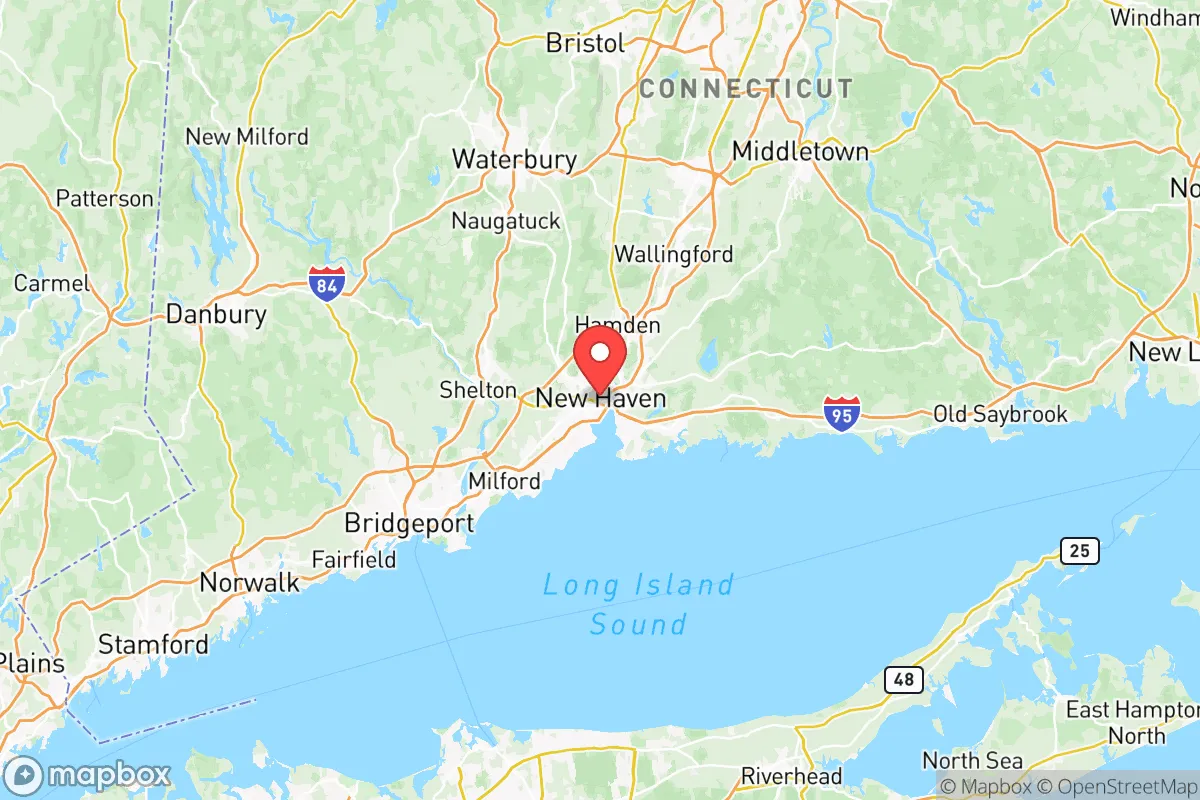
The South Central Connecticut Planning Region, anchored by the city of New Haven and stretching from the shoreline to the interior, presents a mixed strategic picture for a relocator prioritizing resilience and self-sufficiency. While the region benefits from a robust natural water supply and a diversified economy, its dense population, proximity to major metropolitan areas like New York City and Boston, and the concentration of critical infrastructure along the Long Island Sound coastline introduce significant vulnerabilities. For a conservative-leaning individual or family weighing disaster readiness, this area demands a careful assessment of its geographic strengths against its exposure to both natural and man-made risks.
Geographic position and natural advantages for long-term stability
The region's geography offers several genuine advantages for long-term stability. The most significant is its abundant fresh water supply. The Quinnipiac River and the Mill River watersheds, along with the massive Lake Gaillard reservoir in North Branford, provide a reliable source of water that is less susceptible to drought than many other parts of the country. The underlying geology, dominated by trap rock ridges and glacial till, also provides decent natural filtration and groundwater recharge. The area's position in a temperate climate zone, away from the most extreme hurricane landfall zones to the south, offers a buffer against the worst of Atlantic storms, though it is not immune. The presence of the Sleeping Giant and the Metacomet Ridge provides elevated terrain that could offer a degree of natural defensibility and a vantage point for monitoring the surrounding lowlands. For a relocator, the town of Durham or Middlefield, situated inland and on higher ground, would represent a more strategically sound location than the coastal communities of Branford or Guilford, which face direct exposure to storm surge and sea-level rise.
Risks, exposures, and proximity to fallout-relevant landmarks
The region's primary strategic weakness is its density and its proximity to high-value, high-risk targets. The Port of New Haven is a major hub for petroleum, chemicals, and bulk cargo, making it a potential secondary target or a source of cascading failures in a conflict scenario. The presence of the New Haven Rail Yard, a critical chokepoint for the Northeast Corridor rail line, and the nearby Bradley International Airport (just north of the region) further concentrate risk. While there are no major active military bases within the planning region itself, the area lies within the broader New York City metropolitan security zone, which includes the United States Coast Guard Academy in New London to the east and the Naval Submarine Base New London in Groton. These installations, while not directly within the region, are close enough that a major event could send fallout or create a refugee flow into the area. The region's electrical grid is heavily dependent on overhead lines running through wooded corridors, which are vulnerable to ice storms and wind events, as seen in the aftermath of Tropical Storm Irene in 2011. For a relocator, the risk is not just a direct strike, but the cascading effects of a disruption to the densely populated I-95 corridor, which runs through the heart of the region and would be a primary evacuation route for New York City in a crisis.
Practical resilience for a relocator: food, water, energy, and defensibility
For a relocator focused on practical resilience, the South Central Connecticut Planning Region offers a mixed bag. The region has a strong local food movement, with numerous farmers' markets and a growing number of small-scale farms, particularly in the towns of Wallingford and North Haven. The Connecticut River Valley, just to the east, is some of the most productive agricultural land in New England. However, the region's population density means that local food production is insufficient to feed the entire population in a prolonged crisis. Water is a clear strength, with most towns having access to municipal reservoirs or deep wells, but a relocator should verify the specific source and treatment capacity for their chosen property. Energy resilience is a significant challenge. The region is heavily reliant on natural gas for heating and electricity, and the pipeline network is aging and vulnerable. Solar adoption is growing, but net metering policies and grid interconnection issues can be a hurdle. For defensibility, the region's terrain of ridges and valleys offers natural chokepoints, but the dense suburban development pattern in towns like Hamden and East Haven makes it difficult to secure a property against a determined threat. A relocator would be best served by a property on a dead-end road on higher ground, with access to a well and a backup power source, ideally in a town with a strong, independent-minded community and a low crime rate, such as Bethany or Woodbridge.
The overall strategic picture for South Central Connecticut is one of a region with genuine natural advantages—abundant water, a temperate climate, and a diversified local economy—that are offset by its position within the densely populated Northeast Corridor. The risk of a cascading failure from a major event in New York City or at the region's own critical infrastructure is a real consideration. For a relocator who values self-sufficiency and disaster readiness, the area is not a top-tier destination, but it is not a write-off either. The key is to choose a specific location carefully: inland, on higher ground, away from major transportation corridors and industrial zones, and within a community that has a track record of local governance and mutual aid. The towns of the northern and western parts of the region, such as Prospect and Oxford, offer a better balance of access to resources and strategic depth than the more exposed coastal and urban areas. Ultimately, the region's resilience is not a given; it must be actively built by the individual relocator through property selection, community engagement, and personal preparedness.

* Values derived from national, state, county, city and local statistics and may differ in a specific area. Last updated: 2026-07-23T19:46:24.000Z
Narrative content on this page is AI-generated and may contain mistakes. Verify any details that matter before acting on them.
ReloMaps may earn a commission from affiliate links at no extra cost to you.

