
Strategic Assessment of Greater Bridgeport Planning Region County
Multiple tactical vulnerabilities. Population density, target proximity, or disaster risk are likely compounding. A retreat property and exit planning is required.
What does the Strategic Assessment tell us?
Our Strategic Assessment grades tactical survivability of an area. Major population centers, military targets, fallout zones, natural disasters, and border exposure all drive risk — lower exposure means a more defensible position in a crisis.
This is heavily inspired by Joel Skousen's Strategic Relocation book. Highly recommended you checkout the book ($)What does this tell us?
Our Strategic Assessment grades tactical survivability of an area. Major population centers, military targets, fallout zones, natural disasters, and border exposure all drive risk — lower exposure means a more defensible position in a crisis.
This is heavily inspired by Joel Skousen's Strategic Relocation book. Highly recommended you checkout the book ($)Strategic Pillars

Key Distances
Strategic Assessment Analysis
The Greater Bridgeport Planning Region, anchored by the city of Bridgeport and encompassing the towns of Stratford, Trumbull, Fairfield, Easton, and Monroe, presents a mixed strategic picture for the relocation-minded reader focused on resilience and self-sufficiency. While its location on Long Island Sound offers certain logistical advantages, its position within the densely populated New York City metropolitan corridor introduces significant vulnerabilities that a conservative-leaning, preparedness-oriented individual must weigh carefully. The region's historical industrial base, proximity to critical transportation infrastructure, and high population density create a complex risk profile that demands a sober, data-driven assessment rather than a rosy marketing pitch.
Geographic position and natural advantages for long-term stability
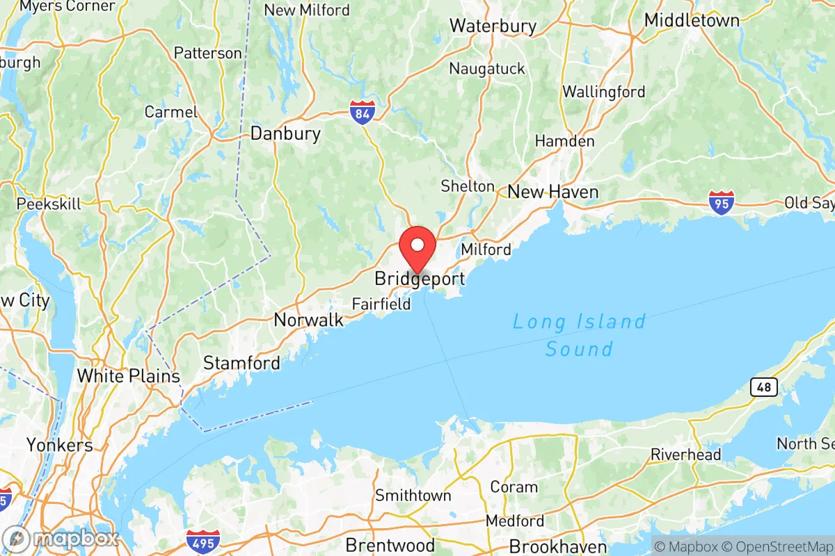
The Greater Bridgeport area sits at the mouth of the Pequonnock River, with a natural deepwater harbor that has historically driven its economy. For the relocator, the most immediate geographic advantage is access to fresh water: the region is part of the broader Housatonic River watershed, with the Aspetuck and Saugatuck Reservoirs providing backup supply for the western towns. The topography is gently rolling, with the interior towns of Easton and Monroe rising into the foothills of the Berkshire range, offering slightly higher elevation and more defensible terrain than the coastal plain. The region's position roughly 60 miles northeast of New York City and 20 miles southwest of New Haven places it within a corridor that, while congested, also provides multiple evacuation routes: Interstate 95, the Merritt Parkway (Route 15), and the Metro-North rail line all run through the area, offering redundancy in a crisis. The natural harbor at Bridgeport Harbor and the nearby Stratford Point provide potential maritime resupply options, though these same assets create exposure. The area's four distinct seasons mean a relocator must plan for both winter storms and summer heat waves, but the moderate climate avoids the extremes of the Gulf Coast or the Upper Midwest, reducing long-term strain on infrastructure and personal supplies.
Risks, exposures, and proximity to fallout-relevant landmarks
The most significant strategic liability for Greater Bridgeport is its location within the New York City metropolitan area's outer ring. In a major disruption—whether natural or man-made—the region would face immense pressure from population displacement. Bridgeport itself, with a population of roughly 150,000, is the most densely populated city in Connecticut, and the entire planning region houses over 300,000 people. This density creates a target-rich environment for cascading failures: the Bridgeport Energy Center, a natural gas-fired power plant on the harbor, and the Stratford Army Engine Plant (a former military industrial site now undergoing environmental remediation) are fixed industrial landmarks that could become liabilities in a crisis. The region's proximity to Long Island Sound also means exposure to storm surge from nor'easters and hurricanes; the 2012 Superstorm Sandy caused significant coastal flooding in Fairfield and Stratford, with water levels reaching several feet in low-lying neighborhoods. For the fallout-conscious relocator, the area's position downwind of the New York City metroplex and its industrial corridor along the I-95 spine is a genuine concern. While there are no active nuclear power plants in the immediate vicinity—the closest is Millstone in Waterford, about 50 miles east—the region's dense transportation network includes rail lines carrying hazardous materials through the heart of Bridgeport and Stratford. The Sikorsky Aircraft facility in Stratford, a major defense contractor, is both an economic asset and a potential target in a conflict scenario. In short, the area's industrial and transportation infrastructure, while economically vital, creates a risk profile that a relocator seeking true isolation should not ignore.
Practical resilience for a relocator: food, water, energy, and defensibility
For the individual or family serious about self-sufficiency, the Greater Bridgeport region offers a mixed bag. On the positive side, the interior towns of Easton and Monroe retain significant agricultural land and rural character, with working farms, orchards, and livestock operations that provide local food sources. The Fairfield County Farm Bureau and local farmers' markets in Trumbull and Monroe offer direct-to-consumer purchasing options that can be scaled up for long-term storage. Water availability is generally good: municipal supplies draw from the aforementioned reservoirs, and private wells are common in the more rural parts of Easton and Monroe, though well depth and yield vary significantly by lot. For off-grid energy, the region's tree cover is dense enough to support sustainable firewood harvesting, and solar insolation is adequate for photovoltaic systems, though winter cloud cover reduces output by roughly 40% compared to sunnier states. The major challenge is defensibility: the region's road network, while redundant, is also a funnel for population movement. In a crisis, the Merritt Parkway and I-95 would become choke points, and the area's many bridges and overpasses could be compromised. The terrain in Easton and Monroe offers some natural defensibility with its hills and winding roads, but the proximity to Bridgeport and the coastal corridor means that a determined population movement would overwhelm any local security measures. For the relocator, the practical takeaway is that stockpiling at least 90 days of supplies is prudent, and establishing relationships with local farmers and well-drillers before a crisis is essential. The region's strong community networks, particularly in the smaller towns, are a genuine asset—neighbors in Monroe and Easton tend to know each other, and local emergency management is well-organized through the regional planning agency.
The overall strategic picture for Greater Bridgeport is one of calculated trade-offs. It is not a remote redoubt, nor does it pretend to be. For the relocator who values proximity to employment, healthcare, and educational institutions while maintaining a baseline of preparedness, the interior towns of Easton and Monroe offer a viable middle ground: close enough to the economic engine of Fairfield County to sustain a career, yet far enough from the densest urban cores to provide a buffer. The region's industrial and transportation infrastructure creates genuine exposure, but its natural advantages—fresh water, moderate climate, agricultural land, and multiple evacuation routes—are not trivial. The key is to go in with eyes open: this is not a bug-out location for a total collapse scenario, but it is a defensible, resource-rich area for the family that wants to be ready for the more probable disruptions of the next decade. The prudent relocator will treat Greater Bridgeport as a base camp, not a fortress, and plan accordingly.

* Values derived from national, state, county, city and local statistics and may differ in a specific area. Last updated: 2026-06-29T12:22:02.000Z
Narrative content on this page is AI-generated and may contain mistakes. Verify any details that matter before acting on them.
ReloMaps may earn a commission from affiliate links at no extra cost to you.

