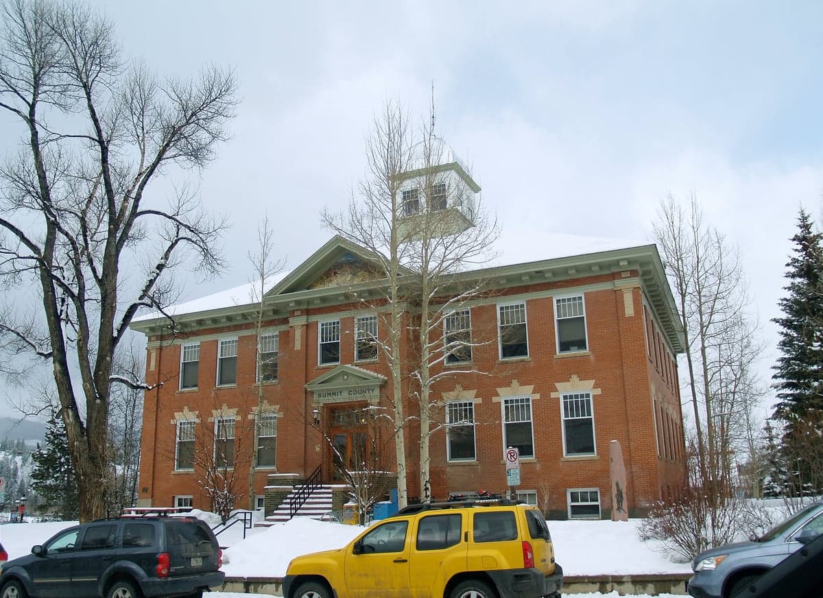
Photo: Wikipedia
Strategic Assessment of Summit County
Workable tactical position. Some exposure to population density or targets, but generally defensible in a crisis.
What does the Strategic Assessment tell us?
Our Strategic Assessment grades tactical survivability of an area. Major population centers, military targets, fallout zones, natural disasters, and border exposure all drive risk — lower exposure means a more defensible position in a crisis.
This is heavily inspired by Joel Skousen's Strategic Relocation book. Highly recommended you checkout the book ($)What does this tell us?
Our Strategic Assessment grades tactical survivability of an area. Major population centers, military targets, fallout zones, natural disasters, and border exposure all drive risk — lower exposure means a more defensible position in a crisis.
This is heavily inspired by Joel Skousen's Strategic Relocation book. Highly recommended you checkout the book ($)Strategic Pillars

Key Distances
Strategic Assessment Analysis
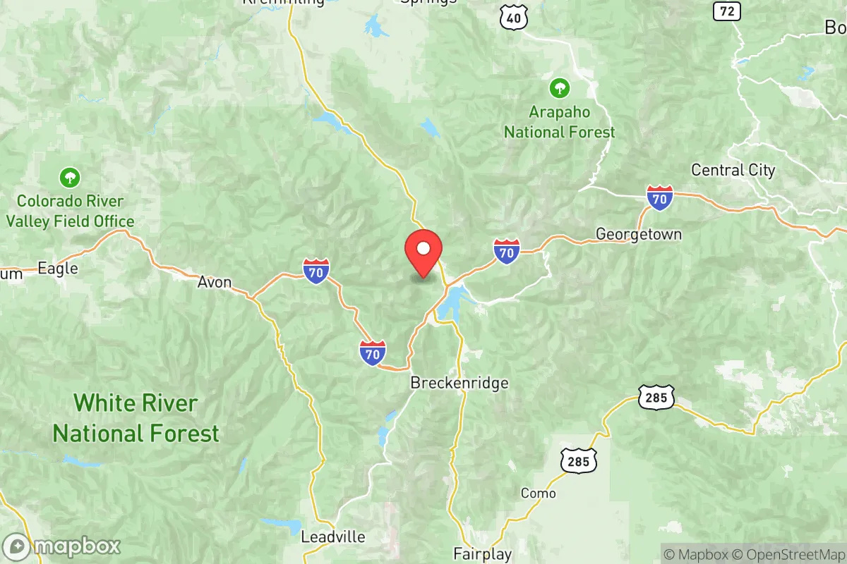
Summit County, Colorado, sits at a strategic crossroads for relocation-minded individuals who value both natural defenses and access to critical infrastructure. Its position in the heart of the Colorado Rockies—anchored by the towns of Breckenridge, Frisco, Silverthorne, and Dillon—offers high-altitude terrain that naturally discourages large-scale ground incursions and provides a temperate but defensible climate. The county’s resilience profile is shaped by its distance from major coastal targets, its position along the I-70 mountain corridor, and its abundant water and energy resources, though it carries specific risks tied to winter weather, wildfire, and proximity to the Denver metropolitan area.
Geographic position and natural advantages: high-altitude buffer and resource abundance
Summit County occupies a roughly 600-square-mile basin straddling the Continental Divide, with the Blue River watershed flowing south toward Dillon Reservoir—a critical man-made lake that doubles as the area’s primary drinking water reservoir. Elevation ranges from about 9,000 feet in Silverthorne to over 14,000 feet at the summit of Quandary Peak, placing most human settlements above the tree line’s lower edge and offering natural line-of-sight advantages. The county is ringed by National Forest land—White River National Forest to the west and Pike-San Isabel to the east—creating a buffer of undeveloped public land that slows unauthorized access and provides hunting and foraging opportunities. Water is the county’s strongest asset: the Blue River system, augmented by reservoirs at Dillon, Green Mountain, and Williams Fork, captures snowmelt from the Gore and Tenmile ranges, making Summit County one of the few intermountain areas with a reliable year-round surface water supply. Winter snowpack averages over 300 inches annually at higher elevations, recharging groundwater and sustaining streams through dry summers. For a relocator prioritizing self-sufficiency, the combination of high-altitude defensibility, federally protected perimeter, and predictable hydrology is difficult to match in the lower 48.
Risks, exposures, and proximity to fallout-relevant landmarks
No location is without trade-offs, and Summit County’s risks fall into two categories: natural and man-made. On the natural side, avalanche paths are a serious concern along the I-70 corridor through the Eisenhower-Johnson Memorial Tunnels and in backcountry zones near Breckenridge and Keystone. The Colorado Avalanche Information Center regularly rates terrain above tree line as considerable to high during winter storms, and property owners in the Arapahoe Basin or Montezuma areas must plan for snow load and slide paths. Wildfire risk is moderate but growing, especially in lower-elevation scrubland near Silverthorne and along the Blue River valley; the 2020 Peak Fire burned 1,100 acres south of Dillon, serving as a recent reminder that even high-altitude forests are not immune. The man-made picture is more complex. Summit County is roughly 70 miles west of Denver as the crow flies, putting it within potential fallout drift from a low-yield surface burst targeting the Denver metro area or Buckley Space Force Base (a space operations hub and early-warning radar site). While prevailing winds from the west push contamination east during most of the year, a spring storm system could shift fallout back toward the mountains. Closer to home, the I-70 tunnel complex and the gas pipelines that parallel it are potential chokepoints for supply disruption—not direct targets, but infrastructure that could fail during a crisis. The county’s small permanent population (roughly 31,000 as of 2024) reduces its strategic value as a target, but the tourism infrastructure—especially around Breckenridge Ski Resort and Copper Mountain—creates seasonal population surges that strain local food and fuel stocks. For the relocator, the key trade-off is isolation from coastal threat arcs versus exposure to a single-point Denver-area risk.
Practical resilience for a relocator: food, water, energy, and defensibility
Day-to-day self-sufficiency in Summit County requires planning beyond the typical suburban stockpile. Water is the standout strength: Dillon Reservoir alone holds over 250,000 acre-feet, and the county’s water providers (Denver Water, Summit Water District) run gravity-fed systems that don’t rely on pumped power. A simple hand-pump or gravity filter can keep a household supplied indefinitely if the grid goes down. Energy is more nuanced.The county’s high altitude means heating degree-days are among the highest in Colorado, and natural gas is the dominant fuel for homes; propane backup is common in rural subdivisions like Blue River or Heeney. Solar works well at 9,000+ feet—peak sun hours average 5.5–6 per year—but snow cover can knock panels offline for days; micro-hydro from a hillside stream is a viable alternative for properties with flowing water. Food security is the weakest link. The county has only a handful of year-round grocery stores (City Market in Frisco, Walmart in Silverthorne) and limited local agriculture—the growing season is barely 90 days, and most soil is thin and rocky. Community gardens exist in Breckenridge and Dillon, but serious food production would require greenhouse investment or low-tunnel techniques. Livestock (chickens, goats) are permitted in unincorporated areas but not in most town limits. For defensibility, Summit County’s terrain is its greatest ally: the valley floors offer natural choke points, and the surrounding peaks provide observation posts. The sheriff’s department and local search-and-rescue are well-organized for wilderness emergencies, but for a full societal collapse scenario, the population’s reliance on tourism-sector jobs and outside supply chains is a vulnerability. A determined relocator should plan to store at least three months of dry goods and maintain a means of off-grid communication (ham radio or satellite messenger) for weather alerts and coordination with neighbors.
Summit County presents a balanced strategic picture for the disaster-minded relocator. It offers world-class natural buffers, abundant water, and moderate distance from high-value targets, balanced against a short growing season, significant winter hazards, and dependence on a single major highway for resupply. The area is best suited for individuals and families who can invest in greenhouse structures, backup heating, and deep food storage, and who are comfortable with a small, tight-knit community where everyone knows the nearest avalanche route. For those willing to accept the cold and the wildfire chest, it remains one of the most resilient high-altitude refuges in the American West.

* Values derived from national, state, county, city and local statistics and may differ in a specific area. Last updated: 2026-06-24T23:01:55.000Z
Narrative content on this page is AI-generated and may contain mistakes. Verify any details that matter before acting on them.
ReloMaps may earn a commission from affiliate links at no extra cost to you.

