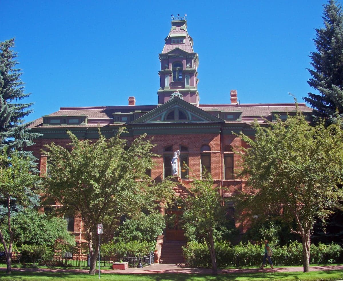
Photo: Wikipedia
Strategic Assessment of Pitkin County
Strong survivability profile. Good buffer from population centers, with manageable environmental and tactical risks.
What does the Strategic Assessment tell us?
Our Strategic Assessment grades tactical survivability of an area. Major population centers, military targets, fallout zones, natural disasters, and border exposure all drive risk — lower exposure means a more defensible position in a crisis.
This is heavily inspired by Joel Skousen's Strategic Relocation book. Highly recommended you checkout the book ($)What does this tell us?
Our Strategic Assessment grades tactical survivability of an area. Major population centers, military targets, fallout zones, natural disasters, and border exposure all drive risk — lower exposure means a more defensible position in a crisis.
This is heavily inspired by Joel Skousen's Strategic Relocation book. Highly recommended you checkout the book ($)Strategic Pillars

Key Distances
Strategic Assessment Analysis
Pitkin County, Colorado, anchored by the town of Aspen, offers a unique strategic position for those prioritizing disaster readiness and self-sufficiency, though it comes with distinct trade-offs. Its high-altitude, mountain-rimmed geography provides natural isolation from many of the risks that plague lower-elevation and coastal regions, including hurricanes, storm surges, and the densest population corridors. However, this same geography creates significant logistical challenges for long-term resilience, particularly around food security, energy independence, and winter access. For a relocator thinking seriously about preparedness, Pitkin County presents a mixed picture: strong natural defenses against certain threats, but heavy dependence on external supply chains and a high cost of entry that can limit practical self-sufficiency.
Geographic position and natural advantages for disaster readiness
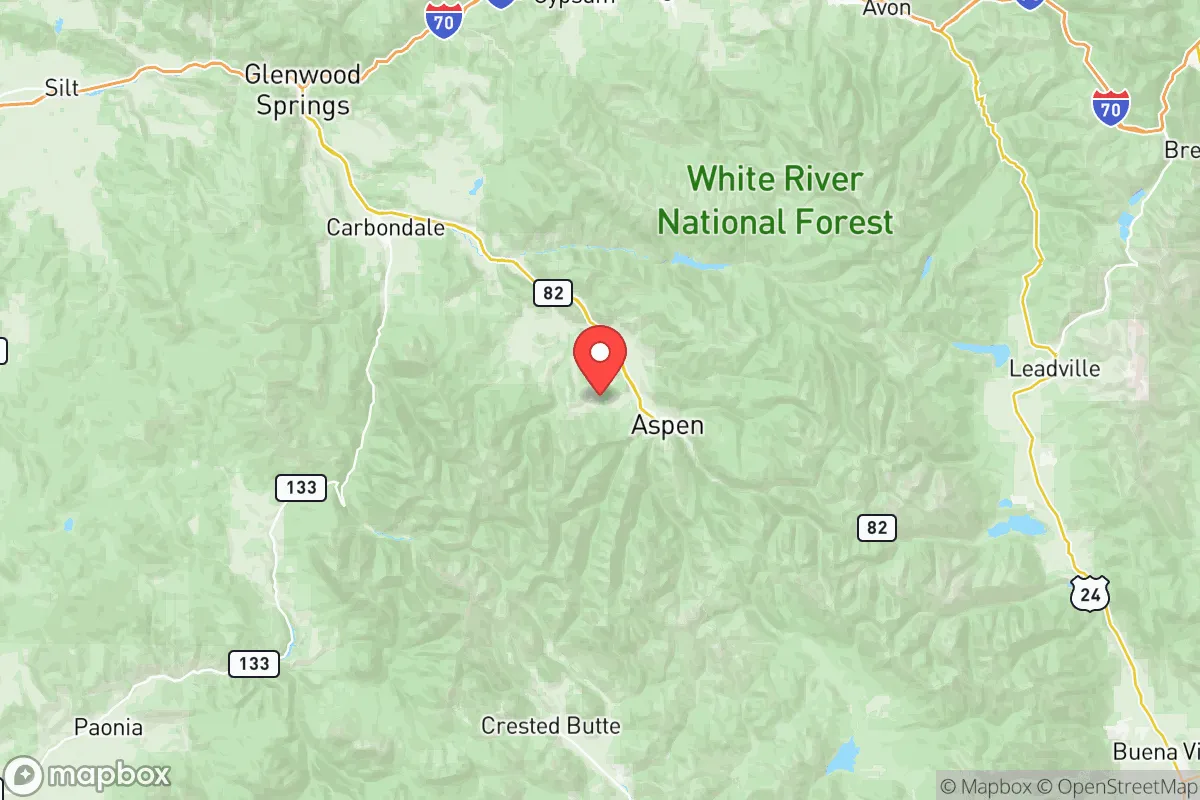
Pitkin County sits in the heart of the Colorado Rockies, with elevations ranging from roughly 7,000 feet in the valley floors to over 14,000 feet at the summits. This altitude and rugged terrain create a natural buffer against many large-scale threats. The county is far removed from major industrial targets: the nearest significant military installation is the U.S. Air Force Academy near Colorado Springs, roughly 130 miles east, while the nearest major refinery corridor is in the Denver metro area, about 160 miles away. This distance from high-value targets like Fort Carson (south of Colorado Springs) or the Rocky Mountain Arsenal (near Denver) reduces exposure to fallout from a conventional or nuclear strike aimed at those locations. The surrounding mountain ranges—the Sawatch Range to the east and the Elk Mountains to the west—also provide physical shielding from blast waves and airborne contaminants, assuming prevailing winds are favorable. The county's water supply is a genuine asset: the Roaring Fork River and its tributaries, fed by high-altitude snowpack, offer a relatively clean and renewable water source that is less vulnerable to contamination than lowland river systems. For a relocator, the natural isolation and water abundance are the strongest cards Pitkin County holds.
Risks, exposures, and proximity to fallout-relevant landmarks
While Pitkin County is distant from the most obvious strategic targets, it is not immune to risk. The county's economy and infrastructure are overwhelmingly tied to Aspen's tourism and luxury real estate market, which creates a single point of failure. A major economic disruption or a prolonged crisis could see the region's population surge or collapse unpredictably. More concretely, the county sits within the broader Colorado mineral belt, and while large-scale mining has declined, there are legacy environmental hazards from historic operations, including abandoned mine drainage that can contaminate local water sources if not managed. The nearest high-consequence infrastructure includes the Rifle Gap area to the northwest, which hosts natural gas processing facilities, and the I-70 mountain corridor to the north, a major transportation artery that could become a chokepoint or target. For fallout-specific concerns, the prevailing wind patterns in the Rockies typically flow west to east, meaning that a release from the Denver metro area or the Cheyenne Mountain complex (south of Colorado Springs) would likely blow away from Pitkin County, but a release from the Moab area in Utah or the Four Corners region could pose a risk depending on seasonal weather. The county's primary vulnerability is not direct targeting but rather the cascading effects of a national crisis: supply chain collapse, fuel shortages, and mass migration from Front Range cities like Denver and Colorado Springs, which could overwhelm the limited road access points.
Practical resilience for a relocator: food, water, energy, and defensibility
For a relocator assessing day-to-day resilience, Pitkin County presents serious challenges. Food security is the weakest link: the county produces virtually none of its own staple crops, and the short growing season (roughly 60-90 days at valley elevations) makes significant home agriculture difficult without greenhouse infrastructure. Most food is trucked in via State Highway 82 through Glenwood Springs, a single two-lane route that is frequently closed by avalanches, rock slides, or winter storms. In a prolonged disruption, the county's 17,000 year-round residents (plus tens of thousands of seasonal visitors) would face rapid food depletion. Water is the strongest asset: the Roaring Fork River and its tributaries provide reliable flow, and many properties have direct access to surface water or shallow wells, though legal water rights are complex and expensive in Colorado. Energy is a mixed picture: the local grid is connected to the Western Interconnection, but the county has limited local generation capacity, and winter storms can knock out power for days. Solar potential is excellent at high elevations, but snow cover and short winter days reduce output significantly. Wood heating is common in older homes, but firewood is expensive and not always locally sourced. Defensibility is a double-edged sword: the terrain makes the county naturally defensible from large-scale incursion, but the limited road access (primarily Highway 82 and a few unpaved Forest Service routes) also means that evacuation or resupply is easily cut off. The county's dispersed settlement pattern—with small communities like Carbondale, Basalt, and Redstone spread across the valley—offers some redundancy, but none of these towns have significant food storage or medical facilities beyond basic clinics. The nearest major hospital is in Glenwood Springs, about 40 miles from Aspen, which itself is a single-road trip away.
The overall strategic picture for Pitkin County is one of high natural protection paired with high systemic fragility. Its geographic isolation and abundant water supply make it one of the better-positioned areas in the continental U.S. for weathering a large-scale event that does not directly target the region. However, its extreme dependence on imported food, fuel, and manufactured goods, combined with a single-point-of-failure transportation corridor and a high cost of living that limits stockpiling capacity, means that long-term self-sufficiency is difficult to achieve without significant personal investment. For a relocator with the resources to build a well-stocked, off-grid homestead in a remote valley like Crystal River Valley or Maroon Creek Valley, the county offers genuine advantages. For someone relying on the local economy and infrastructure, the resilience profile is weaker than the scenery suggests. The county is best viewed as a strong retreat location for those who can secure their own supply lines, not as a fully resilient community for the average relocator.

* Values derived from national, state, county, city and local statistics and may differ in a specific area. Last updated: 2026-06-21T12:47:17.000Z
Narrative content on this page is AI-generated and may contain mistakes. Verify any details that matter before acting on them.
ReloMaps may earn a commission from affiliate links at no extra cost to you.

