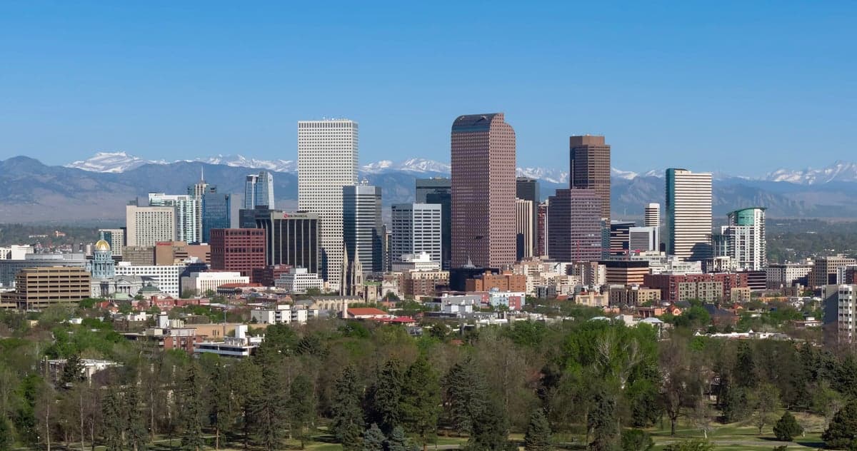
Photo: Wikipedia
Strategic Assessment of Denver County
Multiple tactical vulnerabilities. Population density, target proximity, or disaster risk are likely compounding. A retreat property and exit planning is required.
What does the Strategic Assessment tell us?
Our Strategic Assessment grades tactical survivability of an area. Major population centers, military targets, fallout zones, natural disasters, and border exposure all drive risk — lower exposure means a more defensible position in a crisis.
This is heavily inspired by Joel Skousen's Strategic Relocation book. Highly recommended you checkout the book ($)What does this tell us?
Our Strategic Assessment grades tactical survivability of an area. Major population centers, military targets, fallout zones, natural disasters, and border exposure all drive risk — lower exposure means a more defensible position in a crisis.
This is heavily inspired by Joel Skousen's Strategic Relocation book. Highly recommended you checkout the book ($)Strategic Pillars

Key Distances
Strategic Assessment Analysis
Denver County, anchored by the City and County of Denver, presents a mixed strategic picture for the relocation-minded reader focused on resilience and self-sufficiency. Its position along the Front Range of the Rocky Mountains offers genuine geographic advantages—high altitude, dry climate, and distance from both coasts—but these come with trade-offs in resource vulnerability and proximity to high-value targets. For a conservative-leaning individual or family weighing disaster readiness, Denver County offers a solid base with clear limitations that require deliberate planning.
Geographic position and natural advantages for long-term stability
Denver County sits at roughly 5,280 feet above sea level on the western edge of the Great Plains, where the South Platte River cuts through before heading northeast toward Nebraska. This elevation provides a natural buffer against several common disaster scenarios: storm surges and sea-level rise are non-issues, and the region's semi-arid climate (roughly 14 inches of precipitation annually) means flooding is localized rather than basin-wide. The Front Range's rain shadow effect also reduces the frequency of severe thunderstorms compared to the Plains further east, though hail and tornadoes remain occasional risks in the eastern parts of the county near Denver International Airport and the communities of Aurora and Commerce City.
The county's position at the foot of the Rocky Mountains provides access to vast public lands—Rocky Mountain National Park lies about 70 miles northwest, and Pike National Forest begins roughly 30 miles southwest near Conifer. For a relocator thinking about bug-out options or resource access, these areas offer timber, water, and game, though they are heavily regulated and frequently visited. The South Platte River corridor itself provides a riparian zone that supports some local agriculture and groundwater recharge, but the county's overall water situation is tight—Denver Water manages a complex system of reservoirs and transmountain diversions that are vulnerable to drought, wildfire sedimentation, and legal battles with Western Slope communities.
Risks, exposures, and proximity to fallout-relevant landmarks
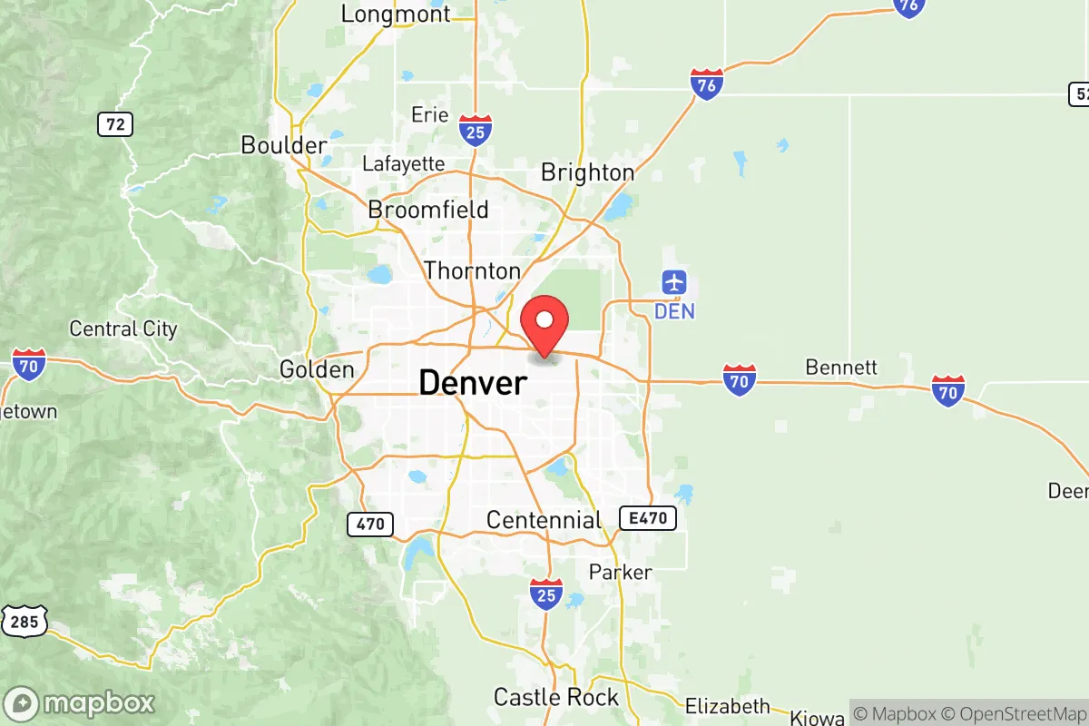
Denver County's biggest strategic liability is its concentration of high-value infrastructure and population. The county is home to roughly 715,000 people, with the broader Denver-Aurora-Lakewood metro area exceeding 2.9 million. This density makes it a plausible target for any adversary seeking to disrupt the U.S. interior. Within the county, Denver International Airport is one of the busiest in the world and a major cargo hub—a clear first-strike asset. Buckley Space Force Base in Aurora, just east of the county line, is a critical space operations and missile warning facility, placing the entire eastern I-225 corridor within a high-risk zone for kinetic or cyber attack.
Further complicating the picture is Commerce City, home to the Suncor Energy refinery, the largest oil refinery in the Rocky Mountain region. This facility processes roughly 100,000 barrels of crude per day and sits just north of downtown Denver, adjacent to the South Platte River. In a crisis—whether natural or man-made—this refinery represents both a hazard (potential explosion, toxic release) and a target. The I-70 and I-25 interchange, known locally as the "Mousetrap," is a chokepoint that could become impassable during an evacuation. The county also lies within 150 miles of F.E. Warren Air Force Base in Wyoming, a major ICBM facility, and Schriever Space Force Base near Colorado Springs, both of which elevate the region's strategic profile.
Natural risks are less dramatic but real. Wildfire danger is highest in the western foothills near Golden and Evergreen, but Denver County's urban core is generally safe from direct flame. However, smoke events and air quality degradation from Front Range fires are now annual occurrences. The county sits in a seismically quiet zone, but the 2011-induced earthquakes near Greeley (related to wastewater injection) serve as a reminder that human activity can introduce new risks. Tornadoes are possible but rarely intense at this elevation; the May 2021 tornado that struck Broomfield and Thornton was an EF1, causing damage but no fatalities.
Practical resilience for a relocator: food, water, energy, and defensibility
For a relocator serious about self-sufficiency, Denver County's practical resilience is a mixed bag. Water is the most pressing concern. The county relies on a complex system of reservoirs—Dillon Reservoir, Gross Reservoir, and Cheesman Reservoir—that store water from the Western Slope via tunnels under the Continental Divide. This infrastructure is aging and vulnerable to drought, wildfire, and seismic events. A single major failure in the Moffat Tunnel or the Roberts Tunnel could cut Denver's water supply by 40% or more. Well water is an option in unincorporated areas east of Parker and Bennett, but the Denver Basin aquifer is being drawn down faster than it recharges. Rainwater collection is legal in Colorado but limited to 110 gallons per property for outdoor use—insufficient for household needs.
Food resilience is moderate. The county has a growing network of community gardens and farmers' markets, but the growing season is short (roughly 150 days) and the soil in the eastern plains is alkaline and clay-heavy. Local food production can supplement but not replace supply chains. The Denver Union Station area and the National Western Center host food distribution hubs, but these would be strained in a prolonged disruption. For a family looking to produce their own food, the foothills west of the county offer better soil and water access, but land prices there are high and zoning restrictions are strict.
Energy resilience is a bright spot. Colorado has a deregulated electricity market, and Xcel Energy's grid in Denver County is relatively modern. Rooftop solar is viable—Denver averages 300 days of sunshine per year—and net metering policies are favorable. Natural gas is widely available for heating and cooking, and the Suncor refinery, despite its risks, ensures local fuel supply. For off-grid capability, a solar-plus-battery system is feasible, though the county's building codes and HOA restrictions can be obstacles. Defensibility is poor in the urban core—dense neighborhoods, limited sightlines, and multiple approach routes make perimeter security difficult. The outer edges of the county, particularly near Deer Creek Canyon and Roxborough Park, offer better terrain for a retreat-style property, but these areas are expensive and increasingly built up.
The overall strategic picture for Denver County is one of qualified viability. The region's altitude, climate, and distance from coastal threats are genuine advantages, and the presence of Buckley Space Force Base and other military infrastructure provides a degree of federal protection that smaller communities lack. However, the county's population density, water vulnerability, and proximity to high-value targets like the Suncor refinery and Denver International Airport introduce risks that cannot be ignored. For a relocator who values community infrastructure, job opportunities, and access to public lands, Denver County is a reasonable choice—provided they invest in water storage, solar backup, and a well-rehearsed evacuation plan for the eastern plains or western mountains. It is not a retreat; it is a forward operating base with good logistics and moderate exposure.

* Values derived from national, state, county, city and local statistics and may differ in a specific area. Last updated: 2026-06-27T15:39:16.000Z
Narrative content on this page is AI-generated and may contain mistakes. Verify any details that matter before acting on them.
ReloMaps may earn a commission from affiliate links at no extra cost to you.

