Photo: Wikipedia
Strategic Assessment of San Luis Obispo County
Meaningful friction. Expect exposure to either population pressure, blast zones, or natural disaster risk. Consider buying a retreat property.
What does the Strategic Assessment tell us?
Our Strategic Assessment grades tactical survivability of an area. Major population centers, military targets, fallout zones, natural disasters, and border exposure all drive risk — lower exposure means a more defensible position in a crisis.
This is heavily inspired by Joel Skousen's Strategic Relocation book. Highly recommended you checkout the book ($)What does this tell us?
Our Strategic Assessment grades tactical survivability of an area. Major population centers, military targets, fallout zones, natural disasters, and border exposure all drive risk — lower exposure means a more defensible position in a crisis.
This is heavily inspired by Joel Skousen's Strategic Relocation book. Highly recommended you checkout the book ($)Strategic Pillars

Key Distances
Strategic Assessment Analysis
San Luis Obispo County offers a compelling strategic position for relocators prioritizing disaster resilience and self-sufficiency, balancing significant geographic advantages with real, manageable risks. Its location roughly midway between Los Angeles and San Francisco, combined with a rugged coastal topography and a relatively low population density of about 85 people per square mile, creates a buffer zone that few California counties can match. The county’s economy, anchored by Cal Poly San Luis Obispo, agriculture, and a growing tech-adjacent sector, provides a stable foundation, while its distance from major metropolitan centers reduces exposure to cascading urban failures.
Geographic position and natural advantages for disaster resilience
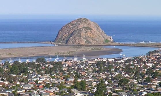
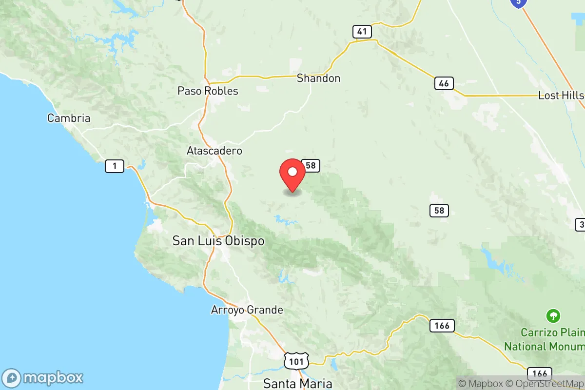
San Luis Obispo County’s geography is its primary strategic asset. The county is defined by the Santa Lucia Range, which runs parallel to the coast, creating a natural barrier that separates the inland valleys from the Pacific. This topography provides natural defensibility: the coastal towns of Morro Bay and Pismo Beach are shielded from the interior by steep hills, while inland communities like Atascadero and Paso Robles sit in broad, fertile valleys with multiple egress routes via Highways 101, 46, and 58. The county’s coastline is relatively undeveloped compared to Santa Barbara or Monterey, with large stretches of state park and open space—including Montana de Oro State Park and Los Padres National Forest—offering both resources and buffer from coastal storm surges. The region’s Mediterranean climate, with average annual rainfall of 20-25 inches, supports local agriculture without the extreme drought vulnerability of Southern California. Critically, the county sits outside the immediate fallout zones of major urban centers: Diablo Canyon Power Plant, the state’s last operating nuclear facility, is located near Avila Beach, but its decommissioning (scheduled for 2025-2030) reduces long-term radiological risk. The nearest major military installation, Vandenberg Space Force Base, is about 30 miles south, primarily a launch facility with minimal strategic target value compared to bases like Fort Irwin or Camp Pendleton.
Risks, exposures, and proximity to fallout-relevant landmarks
No location is immune to risk, and San Luis Obispo County has specific exposures that a relocator must weigh. The most immediate natural threat is wildfire: the county’s chaparral-covered hills and oak woodlands are highly flammable, with major fires like the 2020 Dolan Fire (burning 125,000 acres) and the 2021 Willow Fire demonstrating the risk. Communities in the wildland-urban interface, particularly in the Santa Margarita and Cambria areas, face annual evacuation threats. Earthquake risk is moderate but real: the county sits near the San Andreas Fault (about 30 miles east of the coast), with the 2003 San Simeon earthquake (6.5 magnitude) causing two deaths and significant damage in Paso Robles. Tsunami risk is low for most of the county, though low-lying areas of Morro Bay and Avila Beach could see inundation from a distant-source event. From a man-made risk perspective, the county’s primary exposure is its proximity to Vandenberg Space Force Base, which hosts intercontinental ballistic missile test launches and space launches. While not a high-value target in a peer conflict, the base’s role in space operations could make it a secondary target. The county’s distance from major refineries (the nearest is in Santa Maria, 30 miles south) and ports (Port of San Luis Obispo is a small commercial harbor) reduces exposure to industrial accidents. The absence of major military command centers, nuclear weapons storage sites, or large population centers (the county’s largest city, San Luis Obispo, has about 47,000 residents) makes it a low-priority target in a strategic strike scenario.
Practical resilience for a relocator: food, water, energy, and defensibility
For a relocator focused on self-sufficiency, San Luis Obispo County offers strong practical resilience. Food security is a standout advantage: the county is a major agricultural producer, with over 1,000 farms growing everything from wine grapes and almonds to avocados and strawberries. The Edna Valley and Paso Robles wine regions are world-renowned, but the county also produces significant quantities of vegetables, citrus, and livestock. Farmers’ markets operate year-round in San Luis Obispo, Paso Robles, and Arroyo Grande, providing direct access to local produce. For those with land, the county’s climate supports year-round gardening, with a growing season that extends from March to November in most areas. Water security is more nuanced: the county relies on a mix of groundwater basins (including the Paso Robles Groundwater Basin) and surface water from Lake Nacimiento and Lake San Antonio. The Paso Robles basin has experienced overdraft issues, leading to a state-mandated groundwater sustainability plan. However, the county’s average rainfall and the presence of multiple reservoirs provide a more reliable water supply than much of Southern California. Energy resilience is improving: the county has significant solar potential, with over 200 days of sunshine annually, and community solar projects are expanding. Diablo Canyon’s decommissioning will remove a major power source, but the county is investing in battery storage and microgrids. For off-grid living, the rural areas of eastern San Luis Obispo County (near Shandon and Cholame) offer large parcels with minimal development pressure. Defensibility is a mixed picture: the county’s topography provides natural chokepoints (Highway 101 through the Cuesta Grade, Highway 46 over the coastal range), but its multiple access routes also mean it cannot be easily isolated. The county’s law enforcement presence is adequate for a rural area, with the Sheriff’s Office covering 3,300 square miles, but residents in remote areas should plan for self-reliance during extended emergencies.
The overall strategic picture for San Luis Obispo County is one of balanced advantage. It offers genuine geographic isolation from major urban risks, strong agricultural self-sufficiency, and a climate that supports year-round resilience. The trade-offs are real but manageable: wildfire risk requires proactive mitigation (defensible space, fire-resistant construction), water management demands careful planning, and the county’s growing popularity is slowly increasing population density. For a relocator who values preparedness without extreme isolation—someone who wants to be within a few hours of major medical centers and airports but not living in a bunker—San Luis Obispo County represents a strong middle ground. It is not a survivalist’s paradise, but it is a place where a thoughtful, self-reliant individual or family can build a resilient life with access to the resources that matter most: clean water, local food, and a community that understands the value of being prepared.

* Values derived from national, state, county, city and local statistics and may differ in a specific area. Last updated: 2026-09-08T01:46:51.000Z
Narrative content on this page is AI-generated and may contain mistakes. Verify any details that matter before acting on them.
ReloMaps may earn a commission from affiliate links at no extra cost to you.

