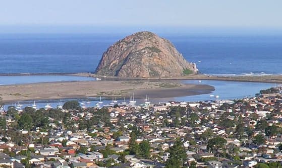
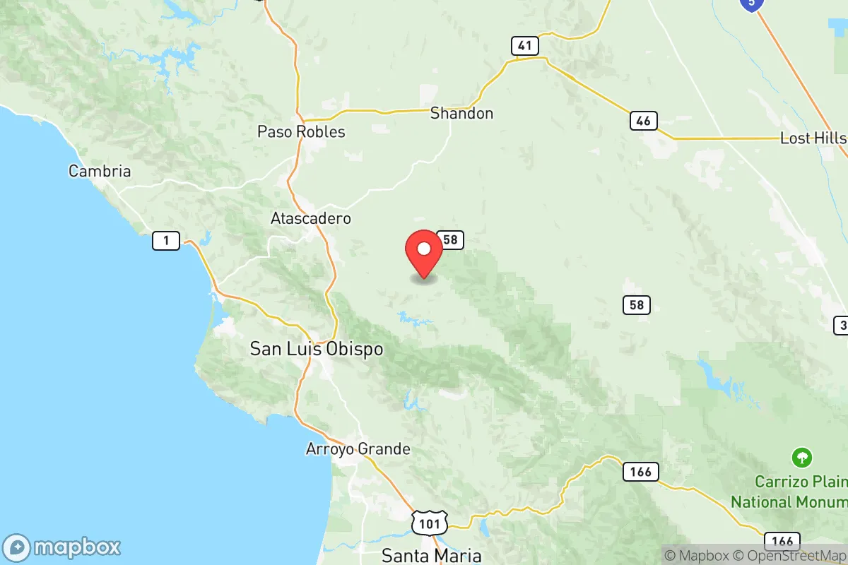
Photo: Wikipedia
Demographics of San Luis Obispo County
Affluence Level in San Luis Obispo County
An upper-middle-class area. Household wealth, education levels, and homeownership run ahead of national benchmarks.
People of San Luis Obispo County
San Luis Obispo County is a predominantly white, college-educated, and politically moderate region of California’s Central Coast, home to roughly 281,500 residents. Its population is notably less diverse than the state average, with a Hispanic community of 24.5% and small Asian (2.9%) and Black (1.1%) populations, while the foreign-born share sits at just 4.6%—far below California’s 27%. The county’s identity is shaped by a mix of agricultural heritage, Cal Poly’s academic influence, and a growing tech-adjacent workforce, creating a place that feels both rural and suburban, traditional and progressive.
Settlement & growth (pre-1960)
Long before European contact, the region was home to the Chumash and Salinan peoples, who lived along the coast and inland valleys for thousands of years. The Chumash, in particular, maintained large villages near present-day San Luis Obispo and Morro Bay, relying on the ocean and oak woodlands for sustenance. Spanish colonization began in 1772 with the founding of Mission San Luis Obispo de Tolosa, part of the chain of 21 California missions. The mission system brought Spanish soldiers, priests, and settlers, forcibly converting and displacing Native populations. After Mexican independence in 1821, large land grants—ranchos—were awarded to Mexican families, creating a ranching economy centered on cattle and hides. Key ranchos included Rancho San Luis Obispo and Rancho Santa Margarita, whose boundaries still influence property lines today.
The American period began in earnest after the 1848 Treaty of Guadalupe Hidalgo and California statehood in 1850. The first major Anglo wave came during the Gold Rush era (1848-1860), though San Luis Obispo County was more a supply route than a destination. Miners and merchants passed through, and some stayed, establishing San Luis Obispo as a stagecoach stop and Paso Robles as a hot springs resort. The 1870s brought the Southern Pacific Railroad, which connected the county to the rest of the state and spurred agricultural development. Wheat, barley, and later dairy farming became dominant, attracting Swiss, Portuguese, and Italian immigrants who settled in Arroyo Grande, Nipomo, and the Santa Maria Valley. The Portuguese, in particular, became central to the dairy industry, establishing creameries and ranches that still operate today.
The early 20th century saw a steady influx of Midwestern and Dust Bowl migrants (1930s-1940s), drawn by agricultural work in the valley’s expanding fruit and vegetable fields. Many settled in Grover Beach and Pismo Beach, where they found seasonal labor in pea and bean harvests. World War II brought Camp San Luis Obispo, a training base that introduced thousands of soldiers to the area; some returned after the war. The 1950s saw the founding of California Polytechnic State University (Cal Poly) in 1901, but its real growth came post-WWII with the GI Bill, attracting students and faculty from across the state. By 1960, the county’s population had reached roughly 81,000, still overwhelmingly white and native-born, with a small but established Hispanic community rooted in the region’s rancho and agricultural past.
Modern era (post-1965)
The 1965 Hart-Cellar Act had a muted effect on San Luis Obispo County compared to coastal California. The foreign-born share remained low—just 4.6% today—because the county lacked the industrial or service-sector jobs that drew large immigrant populations to Los Angeles or the Bay Area. Instead, the post-1965 demographic story is one of domestic migration. From the 1970s onward, the county attracted retirees, second-home buyers, and professionals from the Los Angeles and San Francisco metros, seeking a quieter, more affordable coastal lifestyle. This wave settled heavily in San Luis Obispo, Morro Bay, and Cambria, driving up home prices and shifting the county’s political leanings toward moderate Republicanism.
The Hispanic population grew steadily but slowly, from about 12% in 1980 to 24.5% today, driven by agricultural labor in the Paso Robles wine region and the Santa Maria Valley. Mexican-American families, many with roots in the county dating back generations, concentrated in Paso Robles and San Miguel, where they work in vineyards, orchards, and food processing. The Asian population (East/Southeast Asian) reached 2.9%, largely through Cal Poly’s recruitment of international students and tech-adjacent professionals from the Bay Area. The Indian subcontinent population is tiny at 0.5%, mostly professionals in healthcare and tech. The Black population remains very small at 1.1%, concentrated in San Luis Obispo and Paso Robles, with roots in military families stationed at Camp San Luis Obispo and later at Vandenberg Air Force Base (just south in Santa Barbara County).
Suburbanization reshaped the county after 1980. Atascadero, originally a planned community from 1913, boomed as a bedroom suburb for San Luis Obispo and Paso Robles. Los Osos grew as a more affordable coastal alternative to Morro Bay. The county’s population doubled between 1970 and 2000, from 105,000 to 247,000, with most growth occurring in the Highway 101 corridor. This period also saw the rise of the Paso Robles wine region, which attracted wealthy retirees and entrepreneurs, further diversifying the county’s economic base beyond agriculture and education.
The future
San Luis Obispo County is projected to grow slowly, reaching roughly 300,000 by 2040, constrained by coastal zoning, water scarcity, and high housing costs. The population is aging—the median age is 38.5, above the state average—and the county is becoming slightly more diverse, but at a pace far slower than California as a whole. The Hispanic share is expected to rise to 30-32% by 2040, driven by natural increase and continued agricultural labor demand. The Asian and Indian populations will likely grow modestly, as Cal Poly expands its international enrollment and remote workers from the Bay Area relocate to San Luis Obispo and Paso Robles. The Black population is expected to remain below 2%, as the county lacks the job base or cultural infrastructure to attract significant Black migration.
The cultural identity is evolving from a quiet agricultural and college town to a destination for remote workers, retirees, and wine tourists. This is creating tension between long-time residents—especially Hispanic farmworkers and middle-class families—and newcomers with higher incomes. The county’s politics, historically Republican-leaning, have shifted slightly toward the center, with San Luis Obispo city becoming more Democratic while rural areas remain conservative. New housing developments are concentrated in Atascadero and Nipomo, where land is cheaper, while coastal towns like Morro Bay and Cambria face strict growth limits.
For someone moving in now, San Luis Obispo County offers a stable, safe, and scenic environment with strong schools and a growing economy, but it is not a place of rapid demographic change or urban energy. It is becoming a more expensive, more exclusive version of itself—a region where the people are increasingly those who can afford to live there, rather than those who grew up there. The county’s future is one of slow, managed growth, with a population that will remain majority white and native-born, but with a growing Hispanic minority and a small but visible Asian professional class.

* Values derived from national, state, county, city and local statistics and may differ in a specific area. Last updated: 2026-09-08T01:46:51.000Z
Narrative content on this page is AI-generated and may contain mistakes. Verify any details that matter before acting on them.
ReloMaps may earn a commission from affiliate links at no extra cost to you.

