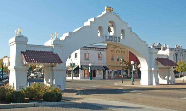
Photo: Wikipedia
Strategic Assessment of San Joaquin County
Multiple tactical vulnerabilities. Population density, target proximity, or disaster risk are likely compounding. A retreat property and exit planning is required.
What does the Strategic Assessment tell us?
Our Strategic Assessment grades tactical survivability of an area. Major population centers, military targets, fallout zones, natural disasters, and border exposure all drive risk — lower exposure means a more defensible position in a crisis.
This is heavily inspired by Joel Skousen's Strategic Relocation book. Highly recommended you checkout the book ($)What does this tell us?
Our Strategic Assessment grades tactical survivability of an area. Major population centers, military targets, fallout zones, natural disasters, and border exposure all drive risk — lower exposure means a more defensible position in a crisis.
This is heavily inspired by Joel Skousen's Strategic Relocation book. Highly recommended you checkout the book ($)Strategic Pillars

Key Distances
Strategic Assessment Analysis
San Joaquin County offers a mixed strategic picture for relocators focused on disaster readiness and self-sufficiency, balancing genuine geographic advantages with significant exposure to man-made and natural risks. Its position as California's agricultural heartland provides strong local food security, but its location in the Central Valley places it downwind of major population centers and within reach of critical infrastructure that could become fallout-relevant landmarks in a crisis. For a conservative-leaning individual or family weighing resilience, the county demands a clear-eyed assessment of both its defensive strengths and its vulnerabilities.
Geographic position and natural advantages for self-sufficiency
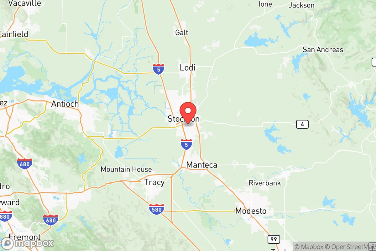
San Joaquin County sits at the northern edge of California's Central Valley, roughly 50 miles east of the San Francisco Bay Area and 40 miles south of Sacramento. This inland position provides a meaningful buffer from coastal threats like tsunamis and sea-level rise, while the surrounding Delta waterways and the Sierra Nevada snowpack to the east ensure a relatively reliable freshwater supply. The county's agricultural output is immense — it consistently ranks among the top ten U.S. counties for farm production, with major crops including almonds, grapes, tomatoes, and dairy. For a relocator prioritizing local food access, this is a concrete advantage: the cities of Stockton, Lodi, Tracy, and Manteca are surrounded by working farmland, and farmers' markets and direct-to-consumer sales are well-established. The flat terrain and Mediterranean climate also support small-scale gardening and livestock, making the area more conducive to semi-self-sufficient living than many coastal or desert regions of California.
Risks, exposures, and proximity to fallout-relevant landmarks
The county's central location is a double-edged sword. San Joaquin County lies within the Sacramento-San Joaquin River Delta, a critical water infrastructure hub that includes the Delta-Mendota Canal and the California Aqueduct — both potential targets or points of failure in a major disruption. The county is also within 60 miles of Travis Air Force Base in Solano County, a major military logistics hub, and roughly 80 miles from Naval Air Station Lemoore in Kings County, the Navy's largest master jet base on the West Coast. These installations are obvious fallout-relevant landmarks that could draw attention in a conflict scenario. Additionally, the county's proximity to the Bay Area's refinery corridor — including the Phillips 66 Rodeo Refinery and the Chevron Richmond Refinery, both roughly 50 miles west — means that prevailing westerly winds could carry industrial fallout or hazardous plumes into the valley. Earthquake risk is moderate but real: the county is crisscrossed by several active faults, including the Mono-Inyo Craters system to the east and the Greenville Fault to the west, and the Delta's levees are notoriously vulnerable to seismic shaking. Flooding from levee failure is the most probable natural disaster, with the Delta's aging earthen levees rated as high-risk by the U.S. Army Corps of Engineers.
Practical resilience for a relocator: food, water, energy, and defensibility
On food security, San Joaquin County is one of the strongest bets in California. The local agricultural base means fresh produce, dairy, and meat are produced in volume within county lines, and the presence of large food processing and distribution centers in Stockton and Tracy supports supply chain redundancy. Water access is more complicated: while the Delta provides abundant surface water, much of it is allocated to agricultural and urban users south of the Delta via the State Water Project. A relocator drilling a private well in the eastern foothills near Valley Springs or Mountain Ranch would have more control, but those areas are in Calaveras County, just east of San Joaquin. Within the county itself, groundwater basins are overdrafted in some areas, and new well permits can be restricted. Energy infrastructure is robust but centralized: the county is served by Pacific Gas & Electric (PG&E), and the Stockton Energy Center and several solar farms provide local generation capacity. However, PG&E's history of public safety power shutoffs during high-fire-risk weather means grid reliability is not guaranteed. For defensibility, the county's flat, open terrain offers limited natural chokepoints or cover, making it less ideal for a retreat scenario than the forested foothills to the east. The population density is moderate — Stockton alone has over 320,000 residents — so a relocator seeking true isolation would need to look to the county's rural eastern edge or adjacent counties.
Overall, San Joaquin County presents a workable but not optimal strategic picture for the disaster-conscious relocator. Its agricultural strength and inland location are genuine assets, and the presence of multiple smaller cities like Lodi and Manteca offers community infrastructure without the density of a major metro. However, the county's exposure to Delta levee failure, proximity to military and industrial fallout-relevant landmarks, and limited natural defensibility mean it is best suited for someone who values food security and moderate climate over isolation and hard security. For a family willing to invest in levee-aware property selection, private water systems, and backup power, the county can serve as a resilient base — but it is not a bug-out location. Those prioritizing maximum strategic depth should look east to the Sierra Nevada foothills or north to the less populated reaches of the Sacramento Valley.

* Values derived from national, state, county, city and local statistics and may differ in a specific area. Last updated: 2026-07-10T05:15:04.000Z
Narrative content on this page is AI-generated and may contain mistakes. Verify any details that matter before acting on them.
ReloMaps may earn a commission from affiliate links at no extra cost to you.

