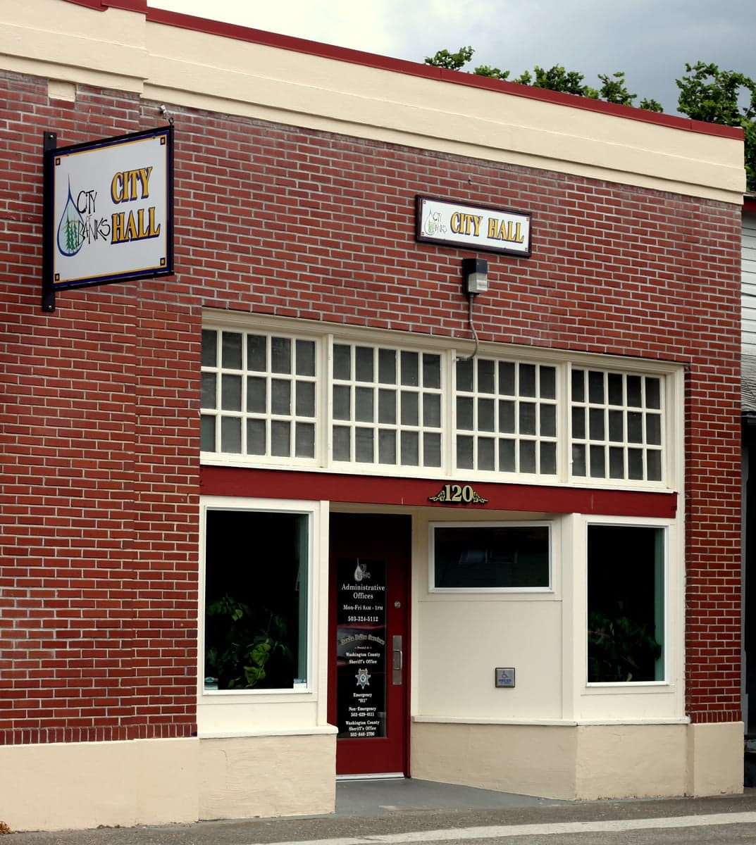
Photo: Wikipedia
Strategic Assessment of Banks, OR
Multiple tactical vulnerabilities. Population density, target proximity, or disaster risk are likely compounding. A retreat property and exit planning is required.
What does the Strategic Assessment tell us?
Our Strategic Assessment grades tactical survivability of an area. Major population centers, military targets, fallout zones, natural disasters, and border exposure all drive risk — lower exposure means a more defensible position in a crisis.
This is heavily inspired by Joel Skousen's Strategic Relocation book. Highly recommended you checkout the book ($)What does this tell us?
Our Strategic Assessment grades tactical survivability of an area. Major population centers, military targets, fallout zones, natural disasters, and border exposure all drive risk — lower exposure means a more defensible position in a crisis.
This is heavily inspired by Joel Skousen's Strategic Relocation book. Highly recommended you checkout the book ($)Strategic Pillars

Key Distances
Regional Safe Places
Below is our recommended "safe zones" in Oregon and the surrounding area based on our strategic heuristics. For most people, it's unrealistic to live in a “safe zone” full-time due to work, family or other personal reasons. They tend to be more rural. However, many of these areas are perfect for second homes and retreat properties that double as a vacation home or even a short-term rental.


Important Note: For informational purposes only. This does not mean nothing bad ever happens in the green zones. Please use common sense. This is based on public data and modeled with AI. We tried to take a conservative approach but mistakes happen. We update this regularly as new information becomes available.
Solar Generator Recommendations
Backup power matters more here than in safer locations. We've picked three solar generators across budgets and capacity tiers — start with the budget unit if you only need a few essentials, or step up if you want to run a fridge and HVAC for days at a time.

Jackery Portable Power Station Explorer 300
Budget OptionPower on the Go: Weighing only 11 lbs, it's convenient to set up and store with book-sized foldable solar panels

BLUETTI Portable Power Station AC180
Designed for both indoor and outdoor scenarios, AC180 is highly capable as it has a robost capacity and continuous output power.

EF ECOFLOW DELTA Pro Ultra Power Station
Upgraded PickEcoFlow DELTA Pro Ultra is a whole-home energy system designed to grow with your family. Integrated with the Smart Home Panel 2, it scales to meet your evolving energy needs — keeping your home powered, intelligent, and secure through every stage of life.
We earn a commission, at no additional cost to you.
Strategic Assessment Analysis
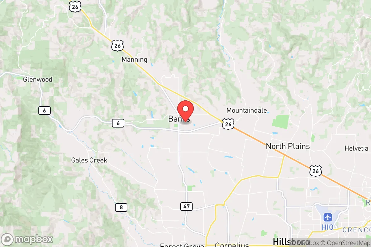
Banks, Oregon, presents a mixed strategic picture for the relocation-minded reader focused on resilience and self-sufficiency. Its primary advantage is a quiet, semi-rural location roughly 30 miles west of Portland, offering a buffer from the immediate chaos of a major metropolitan collapse while remaining close enough to access critical resources in a pre-crisis window. However, this proximity to a major population center and key infrastructure corridors is also its most significant liability, placing it within the fallout zone of any large-scale event targeting the Portland metro or the nearby industrial and military assets along the Columbia River. The area’s resilience is real but conditional, requiring a clear-eyed understanding of both its natural buffers and its man-made vulnerabilities.
Geographic position and natural advantages for long-term survival
Banks sits in the Tualatin Valley, nestled against the foothills of the Oregon Coast Range. This position provides several natural advantages. The Coast Range acts as a significant rain shadow barrier, ensuring Banks receives ample precipitation—roughly 50-60 inches annually—which supports robust local water tables and lush vegetation. The area is drained by the Dairy Creek and the Tualatin River, offering multiple surface water sources for those with proper filtration and catchment systems. The surrounding terrain is a mix of forested hills and agricultural bottomlands, providing both cover and potential for small-scale farming. The Banks-Vernonia State Trail, a 21-mile rail-trail, offers a non-motorized corridor into deeper forest, useful for scouting or retreat. The local topography is hilly but not mountainous, meaning defensible positions exist without the extreme isolation that complicates supply runs. The region’s volcanic soils are fertile, and the moderate climate—cool, wet winters and dry summers—supports a long growing season for cool-weather crops like potatoes, kale, and root vegetables. For a relocator, the natural resource base is solid: water is plentiful, timber for fuel and construction is abundant, and the land can produce food with effort.
Risks, exposures, and proximity to fallout-relevant landmarks
The most serious risk for Banks is its location relative to Portland and the broader Willamette Valley corridor. In a major conflict or terrorist event targeting the Pacific Northwest, Portland’s population of roughly 650,000 (metro area over 2.5 million) would become a massive source of refugees, and Banks sits directly on Highway 6, a primary evacuation route from the coast and a secondary route out of Portland. The town itself is small—around 2,000 residents—but it lies within 15 miles of the Burlington Northern Santa Fe rail line and the major Interstate 5 corridor, both high-value targets for infrastructure disruption. The Columbia River, 20 miles north, hosts the Bonneville Dam and several locks, which are critical to regional power and barge traffic. The Portland International Airport and the Port of Portland are obvious targets. Additionally, the area is within the potential fallout plume of a nuclear strike on Portland or the nearby U.S. Army’s Camp Rilea (a training facility near the coast) or the Naval Weapons Systems Training Facility at Boardman. While Banks is not directly downwind of Portland in prevailing westerly winds, a shift in wind patterns during an event could bring fallout. The Cascadia Subduction Zone earthquake is a known risk; a major quake would likely sever Highway 6 and the rail lines, isolating Banks for weeks. The area also experiences occasional winter storms that knock out power for days. The risk profile is moderate-high: natural disasters are manageable with preparation, but man-made threats from proximity to Portland and critical infrastructure are the real concern.
Practical resilience for a relocator: food, water, energy, and defensibility
For a relocator serious about self-sufficiency, Banks offers a workable but not ideal baseline. Water is the strongest asset: the high rainfall and multiple creeks mean a well or rainwater catchment system can provide year-round supply. The local water table is shallow in many areas, so hand pumps or solar-powered well pumps are viable. Food production is feasible: the growing season runs from April to October, and the soil supports orchards, berries, and vegetables. Local farms and the Banks Farmers Market (seasonal) provide a network for seed swaps and knowledge. However, the area is not a major grain producer—most wheat and corn come from east of the Cascades—so long-term calorie storage would require planning. Energy is a vulnerability: the grid is served by Portland General Electric, and outages are common in winter storms. Solar is viable (the area gets about 150 sunny days per year, less than the high desert but enough for a modest off-grid system), but battery storage is essential. Wood heat is the most reliable backup, and firewood is abundant in the surrounding forests. Defensibility is mixed: Banks is a small town with a single main road (Highway 6) and a few secondary routes. The terrain is hilly and forested, offering natural chokepoints and concealment. The local population is predominantly rural and conservative, with a strong hunting and firearms culture, which can be a social asset for community defense. However, the town is not easily sealed—there are multiple logging roads and trails that could be used for infiltration. The nearest law enforcement is the Washington County Sheriff’s Office, with response times of 20-30 minutes in rural areas. For a relocator, the key is to secure a property with good sightlines, a reliable water source, and a defensible perimeter, ideally off the main highway.
The overall strategic picture for Banks is one of conditional viability. It offers genuine natural advantages—abundant water, fertile soil, forest cover, and a moderate climate—that support a long-term self-sufficient lifestyle. Its location provides a buffer from Portland’s immediate collapse, but that buffer is thin and easily overwhelmed by a mass evacuation or a fallout event. The area’s infrastructure is fragile, and its dependence on external supply chains for food, fuel, and medical care is a real vulnerability. For a relocator willing to invest in off-grid systems, build community ties, and maintain a low profile, Banks can work as a base. But it is not a remote fortress; it is a semi-rural exurb with all the risks that entails. The smart move is to treat it as a staging area—a place to build skills and stockpile resources while keeping an eye on the horizon for when it’s time to move deeper into the Coast Range or east of the Cascades. For the serious prepper, Banks is a solid B+ location: good fundamentals, but not a final answer.

* Values derived from national, state, county, city and local statistics and may differ in a specific area. Last updated: 2026-10-02T13:43:37.000Z
Narrative content on this page is AI-generated and may contain mistakes. Verify any details that matter before acting on them.
ReloMaps may earn a commission from affiliate links at no extra cost to you.

