
Photo: Wikipedia
Strategic Assessment of Auburn Hills, MI
Multiple tactical vulnerabilities. Population density, target proximity, or disaster risk are likely compounding. A retreat property and exit planning is required.
What does the Strategic Assessment tell us?
Our Strategic Assessment grades tactical survivability of an area. Major population centers, military targets, fallout zones, natural disasters, and border exposure all drive risk — lower exposure means a more defensible position in a crisis.
This is heavily inspired by Joel Skousen's Strategic Relocation book. Highly recommended you checkout the book ($)What does this tell us?
Our Strategic Assessment grades tactical survivability of an area. Major population centers, military targets, fallout zones, natural disasters, and border exposure all drive risk — lower exposure means a more defensible position in a crisis.
This is heavily inspired by Joel Skousen's Strategic Relocation book. Highly recommended you checkout the book ($)Strategic Pillars

Key Distances
Regional Safe Places
Below is our recommended "safe zones" in Michigan and the surrounding area based on our strategic heuristics. For most people, it's unrealistic to live in a “safe zone” full-time due to work, family or other personal reasons. They tend to be more rural. However, many of these areas are perfect for second homes and retreat properties that double as a vacation home or even a short-term rental.


Important Note: For informational purposes only. This does not mean nothing bad ever happens in the green zones. Please use common sense. This is based on public data and modeled with AI. We tried to take a conservative approach but mistakes happen. We update this regularly as new information becomes available.
Solar Generator Recommendations
Backup power matters more here than in safer locations. We've picked three solar generators across budgets and capacity tiers — start with the budget unit if you only need a few essentials, or step up if you want to run a fridge and HVAC for days at a time.

Jackery Portable Power Station Explorer 300
Budget OptionPower on the Go: Weighing only 11 lbs, it's convenient to set up and store with book-sized foldable solar panels

BLUETTI Portable Power Station AC180
Designed for both indoor and outdoor scenarios, AC180 is highly capable as it has a robost capacity and continuous output power.

EF ECOFLOW DELTA Pro Ultra Power Station
Upgraded PickEcoFlow DELTA Pro Ultra is a whole-home energy system designed to grow with your family. Integrated with the Smart Home Panel 2, it scales to meet your evolving energy needs — keeping your home powered, intelligent, and secure through every stage of life.
We earn a commission, at no additional cost to you.
Strategic Assessment Analysis
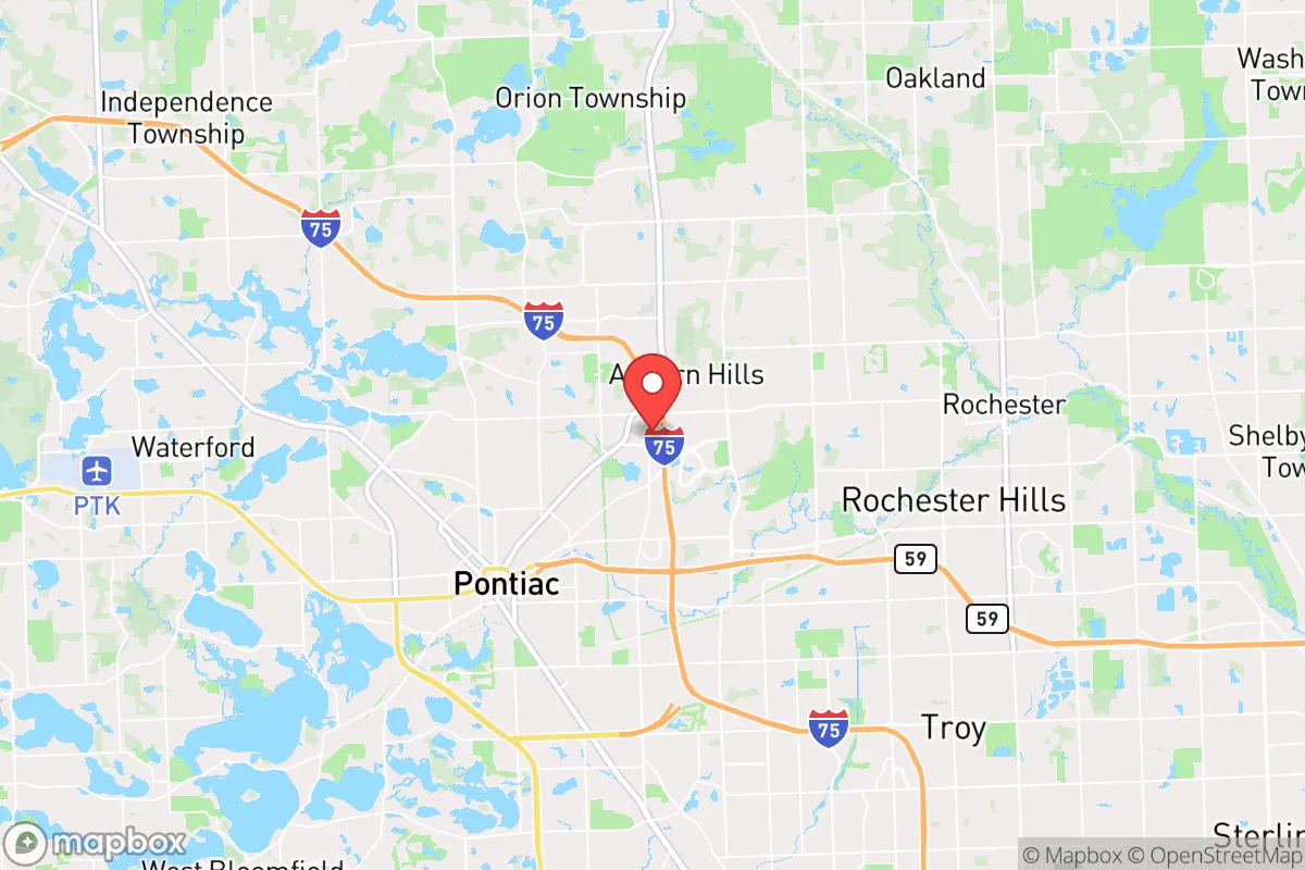
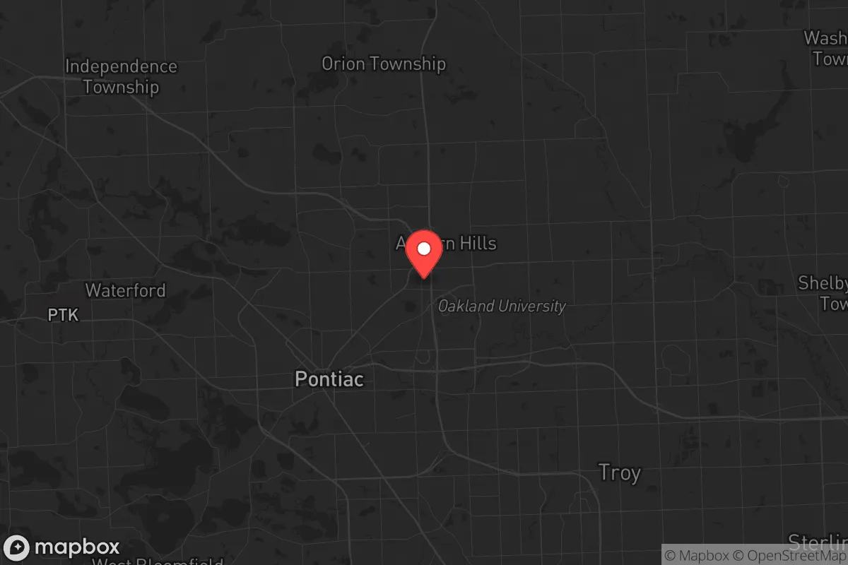
Auburn Hills, Michigan, occupies a strategic position roughly 30 miles northwest of Detroit, placing it within the outer ring of a major metropolitan area while retaining a distinct suburban-industrial character that offers a mixed resilience profile. The city’s location along the I-75 corridor and its proximity to Oakland County’s employment centers provide economic stability, but its closeness to Detroit and several high-value infrastructure targets introduces significant man-made risk factors that a disaster-conscious relocator must weigh carefully. For a single individual or family prioritizing self-sufficiency and preparedness, Auburn Hills presents a trade-off: strong local resources and a relatively robust municipal framework, offset by exposure to the cascading effects of a major disruption in the Detroit metroplex.
Geographic position and natural advantages for preparedness
Auburn Hills sits on relatively flat, well-drained terrain typical of southeastern Michigan’s glacial plain, with no significant floodplains, fault lines, or wildfire corridors within the immediate city limits. The Clinton River runs through the southern portion of the city, providing a surface water source, though it is not a major river and its flow is moderate. The area’s primary natural advantage is its access to abundant freshwater via the Great Lakes system—Lake St. Clair and Lake Erie are within an hour’s drive—and the region’s generally temperate climate, which avoids extremes of heat, drought, or seismic activity. Winters can be harsh, with average snowfall around 40 inches annually, which poses challenges for off-grid heating and transportation but also ensures a reliable seasonal water supply. The surrounding Oakland County landscape is a mix of suburban development, light industrial parks, and scattered woodlots, offering some cover and potential for small-scale agriculture, though prime soil is limited to pockets. For a relocator, the lack of natural disaster threats—no hurricanes, tornadoes are rare and weak, no wildfires—is a genuine plus, but the flat, open terrain offers limited natural defensibility compared to more rugged regions.
Man-made risks, target proximity, and fallout exposure concerns
The most significant risk for Auburn Hills in a disaster scenario is its proximity to Detroit and the dense concentration of critical infrastructure in southeastern Michigan. Detroit Metropolitan Airport (DTW) is roughly 40 miles south, and the city lies within the fallout shadow of potential targets such as the Detroit-Windsor Tunnel, the Ambassador Bridge, and the Ford River Rouge Complex—all high-value industrial and transportation nodes. Additionally, Auburn Hills itself hosts the Fiat Chrysler (Stellantis) North American headquarters and several automotive R&D centers, which could be secondary targets in a conflict scenario. The I-75 corridor, which runs directly through the city, is a major logistics artery and would likely be a chokepoint during any evacuation or disruption. For a preparedness-minded reader, the risk of civil unrest, supply chain collapse, or contamination from a nearby strike is real and should not be dismissed. The city’s population of roughly 24,000 is relatively small, but it is surrounded by higher-density suburbs—Pontiac (population 60,000) borders it to the north, and Rochester Hills to the east—meaning that any regional crisis would quickly overwhelm local resources. The presence of Oakland University and several corporate campuses also means a transient population that could complicate community cohesion in a prolonged emergency.
Practical resilience: food, water, energy, and defensibility for a relocator
For a family or individual looking to establish a resilient household in Auburn Hills, the practical picture is mixed. Municipal water comes from the Detroit Water and Sewerage Department, which draws from Lake Huron and the Detroit River—a generally reliable system, but one that is vulnerable to contamination, cyberattack, or infrastructure failure. A well is not a standard feature in most Auburn Hills homes; the city is fully on municipal water, so a relocator would need to invest in rainwater catchment, filtration, or a private well if they want independent water security. Electricity is provided by DTE Energy, with a grid that has experienced notable outages during severe storms; backup solar or generator capacity is advisable. Food access is good in normal times, with multiple grocery stores and a strong local farmers’ market scene in nearby Rochester and Oxford, but the region’s short growing season (roughly May to October) limits year-round self-sufficiency. Oakland County has relatively permissive zoning for backyard chickens and small-scale gardening, but suburban HOAs may restrict these activities, so a relocator should verify local ordinances before purchasing. Defensibility is a concern: Auburn Hills is a typical suburban grid with multiple entry points, no natural barriers, and a police force of about 40 officers, which would be stretched thin in a crisis. The city’s proximity to Pontiac, which has higher crime rates and a struggling tax base, adds a layer of social vulnerability. For a serious prepper, the best strategy would be to secure a property on the northern or western edges of the city, closer to rural Oakland County, where lot sizes increase and neighbors are farther apart.
The overall strategic picture for Auburn Hills is one of calculated risk. It offers genuine advantages in economic stability, freshwater access, and a low natural-disaster profile, but these are offset by its position within a major metropolitan area’s target footprint and its dependence on regional infrastructure that would be strained or severed in a major event. For a relocator who is not seeking complete isolation but wants a base with decent resources and a manageable population density, Auburn Hills can work—provided they invest in independent water, power, and food systems, and maintain a low profile. The city is not a survivalist’s dream, but it is not a trap either. It sits in that middle ground where preparation and awareness can make the difference between riding out a disruption and being caught flat-footed. For a family willing to put in the work, Auburn Hills offers a viable, if not ideal, location for a resilient lifestyle in the Great Lakes region.

* Values derived from national, state, county, city and local statistics and may differ in a specific area. Last updated: 2026-10-13T16:28:29.000Z
Narrative content on this page is AI-generated and may contain mistakes. Verify any details that matter before acting on them.
ReloMaps may earn a commission from affiliate links at no extra cost to you.

