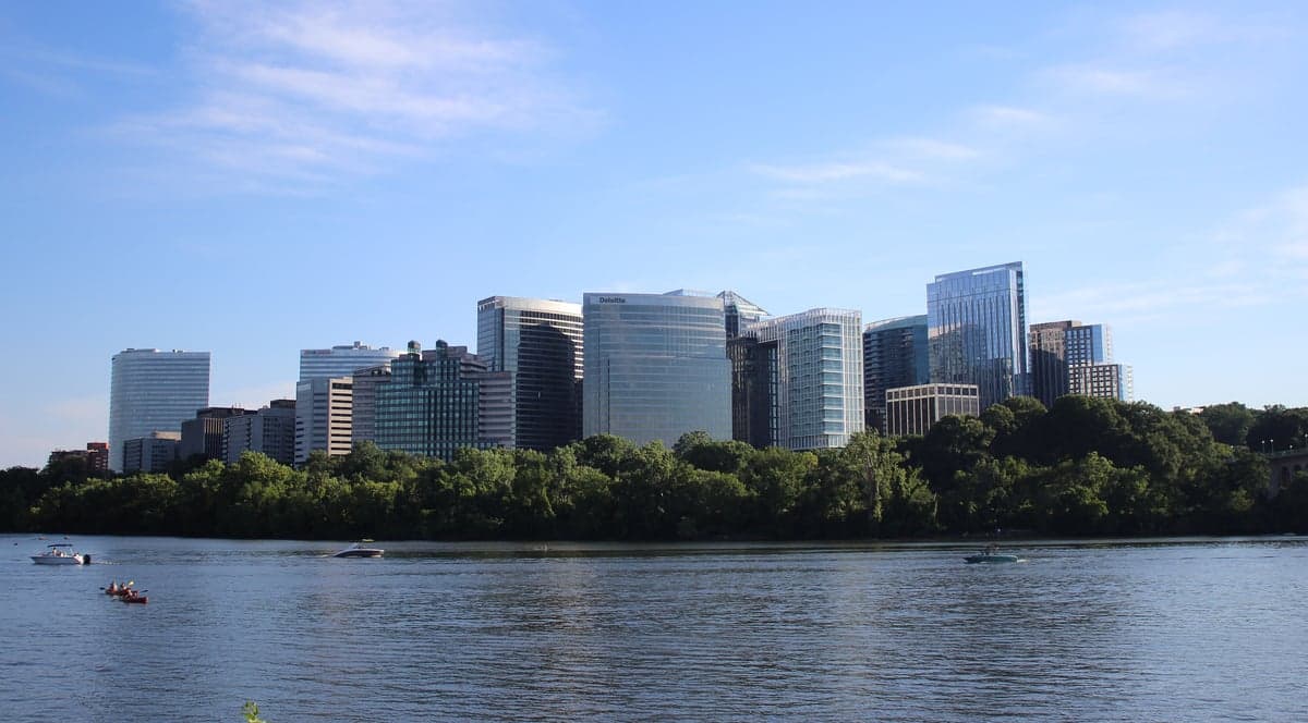
Photo: Wikipedia
Strategic Assessment of Arlington, VA
Meaningful friction. Expect exposure to either population pressure, blast zones, or natural disaster risk. Consider buying a retreat property.
What does the Strategic Assessment tell us?
Our Strategic Assessment grades tactical survivability of an area. Major population centers, military targets, fallout zones, natural disasters, and border exposure all drive risk — lower exposure means a more defensible position in a crisis.
This is heavily inspired by Joel Skousen's Strategic Relocation book. Highly recommended you checkout the book ($)What does this tell us?
Our Strategic Assessment grades tactical survivability of an area. Major population centers, military targets, fallout zones, natural disasters, and border exposure all drive risk — lower exposure means a more defensible position in a crisis.
This is heavily inspired by Joel Skousen's Strategic Relocation book. Highly recommended you checkout the book ($)Strategic Pillars

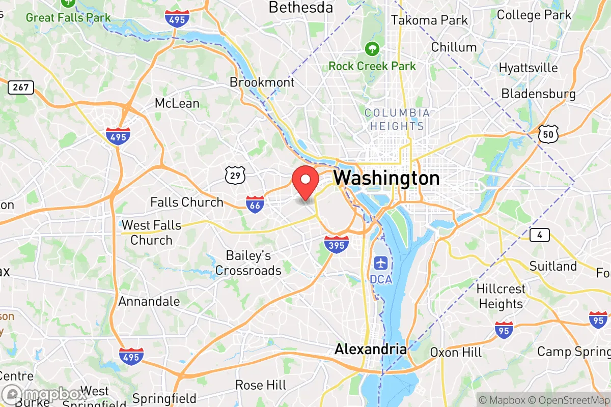
Key Distances
Regional Safe Places
Below is our recommended "safe zones" in Virginia and the surrounding area based on our strategic heuristics. For most people, it's unrealistic to live in a “safe zone” full-time due to work, family or other personal reasons. They tend to be more rural. However, many of these areas are perfect for second homes and retreat properties that double as a vacation home or even a short-term rental.




Important Note: For informational purposes only. This does not mean nothing bad ever happens in the green zones. Please use common sense. This is based on public data and modeled with AI. We tried to take a conservative approach but mistakes happen. We update this regularly as new information becomes available.
Solar Generator Recommendations
Backup power matters more here than in safer locations. We've picked three solar generators across budgets and capacity tiers — start with the budget unit if you only need a few essentials, or step up if you want to run a fridge and HVAC for days at a time.

Jackery Portable Power Station Explorer 300
Budget OptionPower on the Go: Weighing only 11 lbs, it's convenient to set up and store with book-sized foldable solar panels

BLUETTI Portable Power Station AC180
Designed for both indoor and outdoor scenarios, AC180 is highly capable as it has a robost capacity and continuous output power.

EF ECOFLOW DELTA Pro Ultra Power Station
Upgraded PickEcoFlow DELTA Pro Ultra is a whole-home energy system designed to grow with your family. Integrated with the Smart Home Panel 2, it scales to meet your evolving energy needs — keeping your home powered, intelligent, and secure through every stage of life.
We earn a commission, at no additional cost to you.
Strategic Assessment Analysis
Arlington, Virginia, presents a complex strategic picture for the relocation-minded reader prioritizing resilience and preparedness. Its immediate proximity to the nation’s capital and dense urban core offers unmatched economic opportunity but also places it squarely within a high-risk zone for man-made threats, including potential fallout from a major incident in Washington, D.C. While the area’s natural geography provides some advantages—elevated terrain along the Potomac and a temperate climate—its practical resilience for a self-sufficient individual or family is severely constrained by high population density, reliance on fragile infrastructure, and limited options for defensibility or long-term food and water independence. For a conservative-leaning audience weighing disaster readiness, Arlington is best understood as a high-reward, high-risk location that demands a robust personal preparedness plan, not a place to rely on for passive safety.
Geographic position and natural advantages for preparedness
Arlington’s location along the Potomac River, directly across from Washington, D.C., gives it a strategic geographic perch that is both a blessing and a curse for resilience. The county sits on a series of rolling hills and ridges, with elevations ranging from roughly 30 to 400 feet above sea level, which provides natural drainage and reduces flood risk compared to low-lying areas like Alexandria or the D.C. waterfront. The Potomac itself is a substantial water source, though its proximity to urban runoff and industrial sites means any untreated use would require serious filtration. The region’s temperate climate—with average highs in the 80s in summer and lows in the 20s in winter—avoids the extremes of hurricanes, tornadoes, or wildfires that plague other parts of the country. However, Arlington is not immune to natural hazards: the area experiences occasional nor’easters, ice storms, and the remnants of tropical systems that can cause localized flooding and power outages. The biggest natural advantage is the relative stability of the Mid-Atlantic climate, which allows for year-round gardening and outdoor activity, but the county’s dense suburban development—over 26 square miles with a population density exceeding 9,000 people per square mile—means that open land for self-sufficient food production is virtually nonexistent. For a relocator, the natural setting is tolerable but not a strong foundation for off-grid living.
Risks, exposures, and proximity to fallout-relevant landmarks
The most significant risk for Arlington residents is its location within the bullseye of potential man-made disasters. The county is less than three miles from the White House, the Pentagon, and the U.S. Capitol, making it a primary target for any adversary seeking to cripple the federal government. In a nuclear exchange scenario, Arlington would likely be within the immediate blast zone of a ground burst aimed at D.C., with overpressure and thermal effects causing catastrophic damage. Even in a limited strike or terrorist event involving a dirty bomb or conventional attack on a government facility, the fallout plume could easily drift across the Potomac into Arlington, depending on wind direction. The county is also home to Reagan National Airport (DCA), a major transportation hub that could be a secondary target or a source of cascading chaos during an evacuation. Beyond direct attacks, Arlington’s proximity to critical infrastructure—including power grids, data centers, and military installations like Fort Myer and Joint Base Anacostia-Bolling—means that any disruption to these systems would ripple through the community quickly. For a conservative-leaning reader who values self-reliance, the concentration of high-value targets within a few miles is a serious liability. The area’s dense population also makes it a likely destination for refugees fleeing D.C. during a crisis, straining already limited resources. In short, Arlington’s strategic importance to the nation is inversely proportional to its strategic safety for an individual household.
Practical resilience for a relocator: food, water, energy, and defensibility
When assessing practical resilience—the ability to sustain a household for weeks or months without external support—Arlington scores poorly on most fronts. Food security is the weakest link: the county has no significant agricultural land, and the vast majority of food is trucked in daily from distribution centers in Maryland and Pennsylvania. A prolonged disruption to the I-95 or I-395 corridors would empty grocery shelves within 48 to 72 hours. Community gardens exist but are small and oversubscribed; a family seeking to grow a meaningful portion of its own calories would need to secure a plot in a neighboring county like Loudoun or Fauquier, which is impractical for daily commuting. Water is a slightly brighter spot: Arlington’s water supply comes from the Potomac via the Washington Aqueduct, a system that has redundant treatment plants and backup power. However, a major contamination event or power failure could still cut service. Residents should plan for at least two weeks of stored water per person, plus a high-quality portable filter like a Berkey or Sawyer for treating river or rainwater. Energy reliability is middling: the grid is maintained by Dominion Energy, which has improved storm response in recent years, but outages from summer thunderstorms or winter ice are common. Solar panels are feasible on single-family homes, but many Arlington residences are apartments or townhouses with limited roof access. Backup generators are a wise investment, but fuel supply could become an issue during a regional crisis. Defensibility is the most challenging factor. Arlington’s street grid is dense, with numerous choke points and limited natural barriers. The county’s police force is well-funded and responsive, but during a widespread breakdown, the sheer number of people and lack of rural retreat options make it nearly impossible to secure a property against determined intruders. For a relocator, the best practical strategy is to treat Arlington as a base for economic opportunity while maintaining a fully stocked “bug-out” location in a less populated area—ideally within a two-hour drive west toward the Shenandoah Valley, where land is cheaper and community ties are stronger.
Overall, Arlington offers a classic trade-off for the preparedness-minded relocator: exceptional access to jobs, culture, and federal resources, but at the cost of being situated in one of the highest-risk zones on the East Coast. The county’s natural geography provides modest protection from weather extremes, but its man-made vulnerabilities—proximity to D.C., high population density, and reliance on fragile supply chains—far outweigh those benefits. A serious disaster readiness plan for Arlington must assume that the area will be a primary target or a secondary impact zone, and that self-sufficiency will be nearly impossible to achieve within the county’s borders. The most realistic approach is to view Arlington as a temporary or hybrid residence: live there for work and community, but invest in a rural property or a well-stocked retreat within a few hours’ drive. For a single individual or family willing to maintain a dual-location strategy, Arlington can still work. But for anyone seeking a single location that offers true resilience and self-sufficiency, the answer is clear: look farther west, where the risks are lower and the land is more forgiving.

* Values derived from national, state, county, city and local statistics and may differ in a specific area. Last updated: 2026-10-01T19:42:59.000Z
Narrative content on this page is AI-generated and may contain mistakes. Verify any details that matter before acting on them.
ReloMaps may earn a commission from affiliate links at no extra cost to you.

