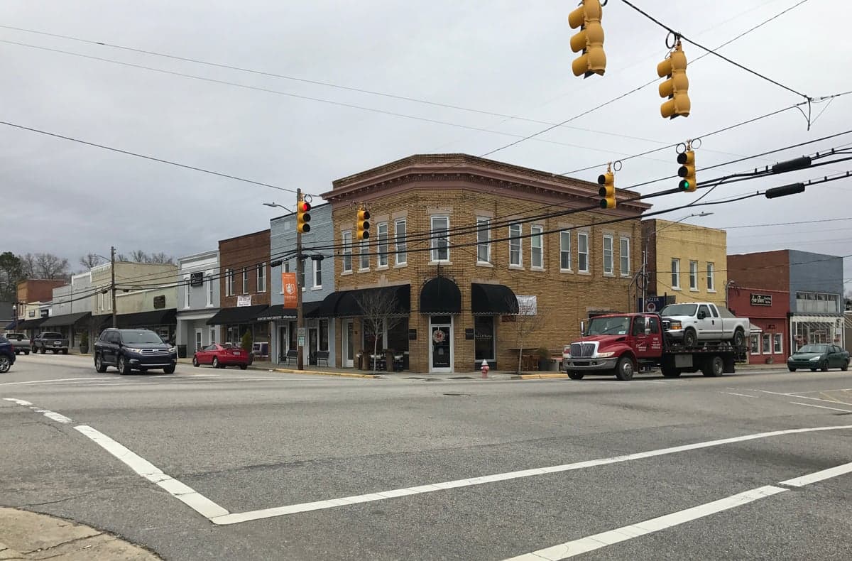
Photo: Wikipedia
Strategic Assessment of Angier, NC
Meaningful friction. Expect exposure to either population pressure, blast zones, or natural disaster risk. Consider buying a retreat property.
What does the Strategic Assessment tell us?
Our Strategic Assessment grades tactical survivability of an area. Major population centers, military targets, fallout zones, natural disasters, and border exposure all drive risk — lower exposure means a more defensible position in a crisis.
This is heavily inspired by Joel Skousen's Strategic Relocation book. Highly recommended you checkout the book ($)What does this tell us?
Our Strategic Assessment grades tactical survivability of an area. Major population centers, military targets, fallout zones, natural disasters, and border exposure all drive risk — lower exposure means a more defensible position in a crisis.
This is heavily inspired by Joel Skousen's Strategic Relocation book. Highly recommended you checkout the book ($)Strategic Pillars

Key Distances
Regional Safe Places
Below is our recommended "safe zones" in North Carolina and the surrounding area based on our strategic heuristics. For most people, it's unrealistic to live in a “safe zone” full-time due to work, family or other personal reasons. They tend to be more rural. However, many of these areas are perfect for second homes and retreat properties that double as a vacation home or even a short-term rental.

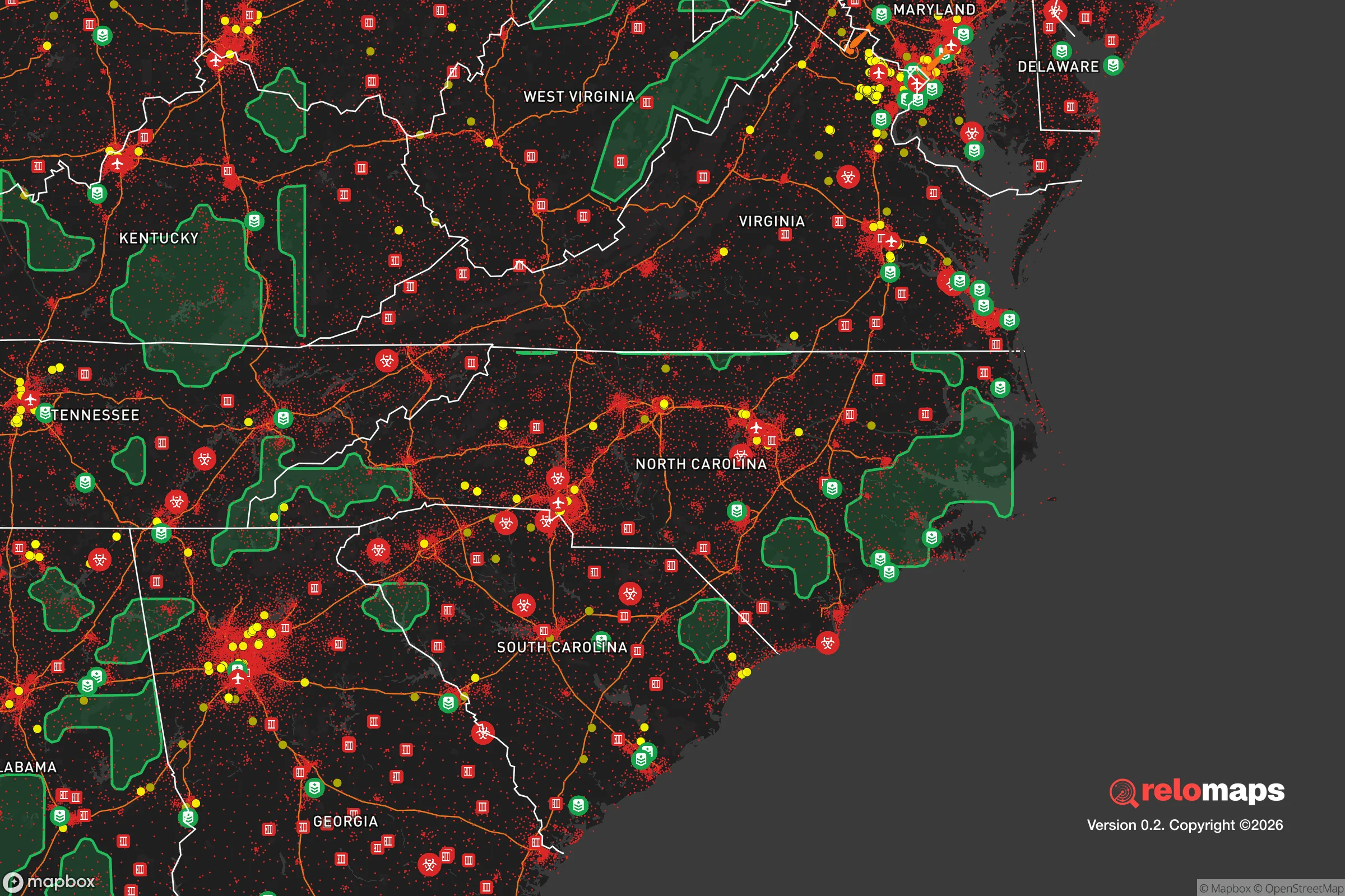


Important Note: For informational purposes only. This does not mean nothing bad ever happens in the green zones. Please use common sense. This is based on public data and modeled with AI. We tried to take a conservative approach but mistakes happen. We update this regularly as new information becomes available.
Solar Generator Recommendations
Backup power matters more here than in safer locations. We've picked three solar generators across budgets and capacity tiers — start with the budget unit if you only need a few essentials, or step up if you want to run a fridge and HVAC for days at a time.

Jackery Portable Power Station Explorer 300
Budget OptionPower on the Go: Weighing only 11 lbs, it's convenient to set up and store with book-sized foldable solar panels

BLUETTI Portable Power Station AC180
Designed for both indoor and outdoor scenarios, AC180 is highly capable as it has a robost capacity and continuous output power.

EF ECOFLOW DELTA Pro Ultra Power Station
Upgraded PickEcoFlow DELTA Pro Ultra is a whole-home energy system designed to grow with your family. Integrated with the Smart Home Panel 2, it scales to meet your evolving energy needs — keeping your home powered, intelligent, and secure through every stage of life.
We earn a commission, at no additional cost to you.
Strategic Assessment Analysis
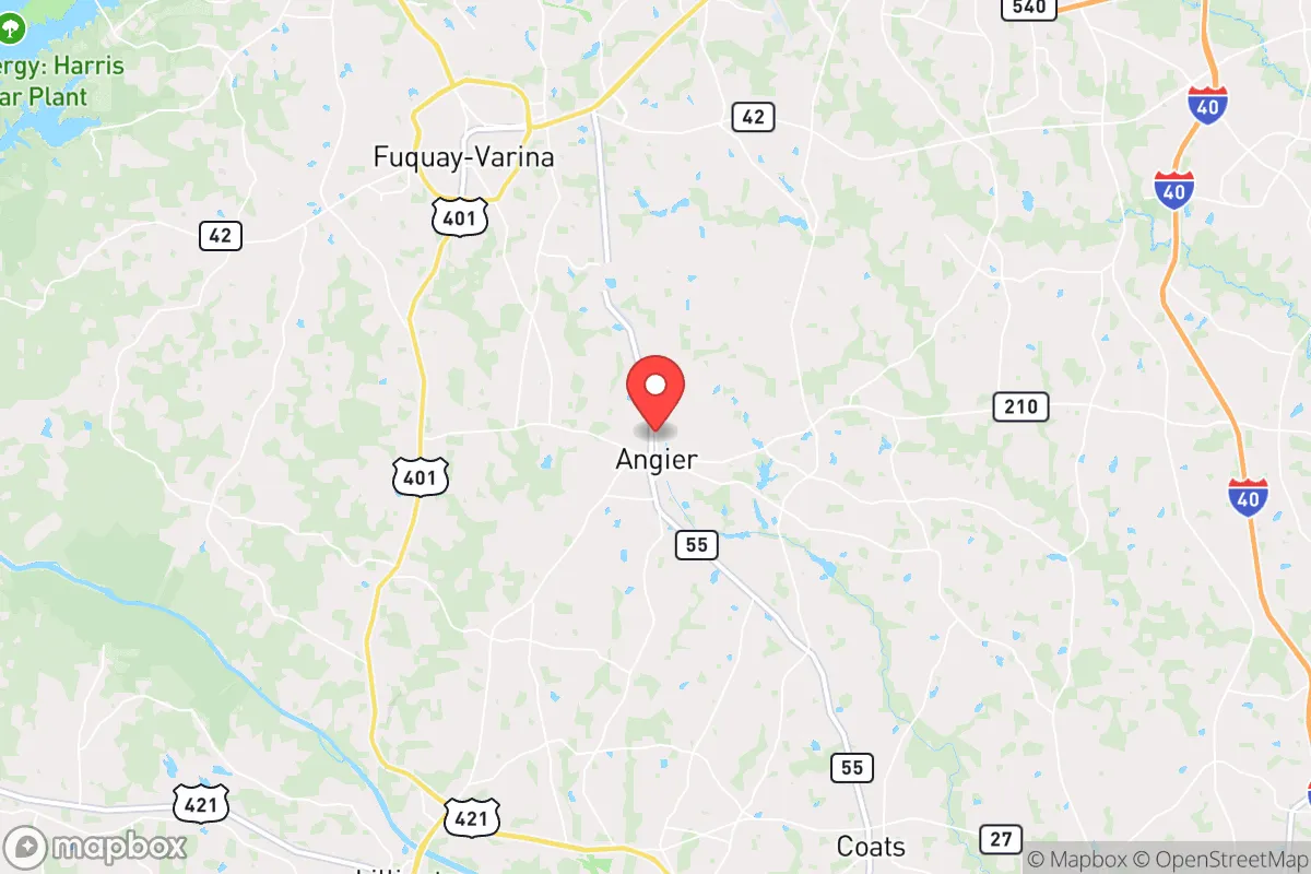
Angier, North Carolina, offers a strategic balance of rural self-sufficiency and access to critical infrastructure, making it a noteworthy option for relocators prioritizing resilience. Located in Harnett County, roughly 30 miles south of Raleigh and 20 miles north of Fort Liberty (formerly Fort Bragg), the town sits in a transitional zone between the Piedmont and Coastal Plain. This positioning provides a buffer from the densest urban centers while still allowing for practical supply runs and emergency services. For a single individual or family thinking seriously about disaster readiness, Angier’s key advantage is its moderate distance from major metropolitan targets—close enough to benefit from resources, far enough to reduce exposure to the worst fallout scenarios.
Geographic position and natural advantages for long-term stability
Angier’s geography is defined by gently rolling terrain, abundant hardwood forests, and proximity to the Cape Fear River basin. The town itself sits at an elevation of roughly 250 feet above sea level, which places it above the flood-prone zones of the lower Cape Fear but still within a region that receives consistent rainfall—averaging about 48 inches annually. This rainfall supports reliable groundwater recharge and makes private wells a viable option for many properties. The area’s clay-heavy soils, while challenging for gardening, also provide good drainage and reduce the risk of standing water after heavy storms. For a relocator, the natural advantages here are subtle but real: the land is not prone to earthquakes, landslides, or wildfires at the scale seen in the West. Hurricanes are the primary natural threat, but Angier’s inland position means storm surge is not a concern, and wind damage is typically limited to Category 1 or 2 events that have weakened overland. The surrounding forests offer a natural sound buffer and a source of firewood, game, and building materials in a prolonged emergency.
Risks, exposures, and proximity to fallout-relevant landmarks
The most significant risk for Angier is its proximity to Fort Liberty, one of the largest military installations in the world. While the base is a major economic driver, it also represents a high-value target in any conflict scenario. Angier sits roughly 20 miles northeast of the base’s main gate, placing it within the potential fallout zone of a conventional or nuclear strike on Fort Liberty. Prevailing winds in the region are from the southwest, which would carry fallout toward the northeast—directly toward Angier. This is a sobering consideration for anyone prioritizing strategic relocation. Additionally, the town is within 30 miles of the Shearon Harris Nuclear Power Plant, located in nearby Wake County. While the plant has a strong safety record, any major incident there would affect Angier’s water and air quality. On the natural disaster side, the area is vulnerable to inland flooding from hurricanes like Florence (2018), which dropped over 30 inches of rain in parts of Harnett County and caused widespread road closures. The Neuse and Cape Fear rivers, both within 15 miles, can swell significantly during prolonged rain events. For a relocator, the key takeaway is that Angier’s risks are not from earthquakes or wildfires, but from man-made targets and water-related natural events.
Practical resilience for a relocator: food, water, energy, and defensibility
Angier’s practical resilience is a mixed bag, but leans positive for those willing to invest in preparation. Water security is the strongest asset: the region’s high water table and consistent rainfall make private wells a realistic option. Many rural properties in Harnett County already have wells, and drilling a new one typically costs $3,000–$6,000. The Cape Fear River is a backup source, but requires filtration due to agricultural runoff and industrial contaminants. Food production is feasible but not effortless. The growing season runs from April to October, and the clay soil requires amendment with compost or raised beds. Local farmers’ markets and CSAs are available in nearby Fuquay-Varina and Lillington, but a serious self-sufficiency plan would need to account for the learning curve of gardening in this soil. Hunting is legal and popular—deer, turkey, and small game are abundant in the surrounding national forests. Energy resilience is moderate. The grid is served by Duke Energy, which has a mixed reliability record during storms. Solar potential is decent, with about 5 peak sun hours per day, but net metering policies in North Carolina have become less favorable in recent years. Backup generators are common in the area, and propane delivery services are widely available. Defensibility is a weak point. Angier is not a natural fortress—it’s a small town with multiple road access points from US 401 and NC 55. The terrain is open enough that a determined group could approach from several directions. However, the town’s low population density (roughly 5,000 residents in the town proper, with many more in unincorporated areas) means that a well-organized neighborhood could establish effective mutual aid networks. The local sheriff’s office and volunteer fire departments are responsive but stretched thin during regional emergencies.
Overall, Angier presents a realistic option for the strategic relocator who values water security and moderate distance from urban targets, but who is willing to accept the risks of living near a major military base and nuclear plant. The town’s resilience profile is strongest in the areas of water and food production, moderate in energy, and weakest in defensibility. For a family or individual who can invest in a well, solar panels, and a generator, and who is comfortable with the trade-off of being 20 miles from a high-value target, Angier offers a solid foundation for long-term preparedness. The key is to treat it as a base camp, not a fortress—a place to build community and resources while staying aware of the larger strategic picture.

* Values derived from national, state, county, city and local statistics and may differ in a specific area. Last updated: 2026-10-09T15:44:37.000Z
Narrative content on this page is AI-generated and may contain mistakes. Verify any details that matter before acting on them.
ReloMaps may earn a commission from affiliate links at no extra cost to you.

