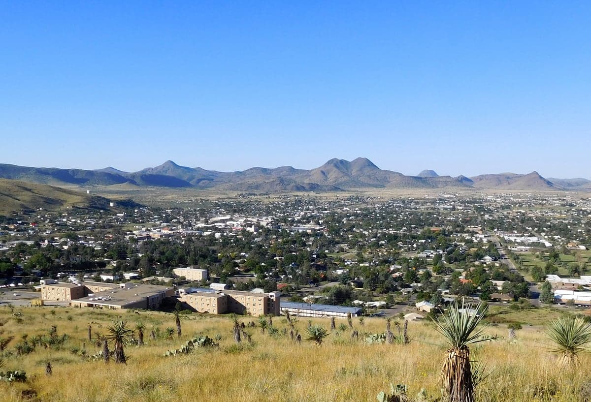
Photo: Wikipedia
Strategic Assessment of Alpine, TX
Workable tactical position. Some exposure to population density or targets, but generally defensible in a crisis.
What does the Strategic Assessment tell us?
Our Strategic Assessment grades tactical survivability of an area. Major population centers, military targets, fallout zones, natural disasters, and border exposure all drive risk — lower exposure means a more defensible position in a crisis.
This is heavily inspired by Joel Skousen's Strategic Relocation book. Highly recommended you checkout the book ($)What does this tell us?
Our Strategic Assessment grades tactical survivability of an area. Major population centers, military targets, fallout zones, natural disasters, and border exposure all drive risk — lower exposure means a more defensible position in a crisis.
This is heavily inspired by Joel Skousen's Strategic Relocation book. Highly recommended you checkout the book ($)Strategic Pillars

Key Distances
Regional Safe Places
Below is our recommended "safe zones" in Texas and the surrounding area based on our strategic heuristics. For most people, it's unrealistic to live in a “safe zone” full-time due to work, family or other personal reasons. They tend to be more rural. However, many of these areas are perfect for second homes and retreat properties that double as a vacation home or even a short-term rental.

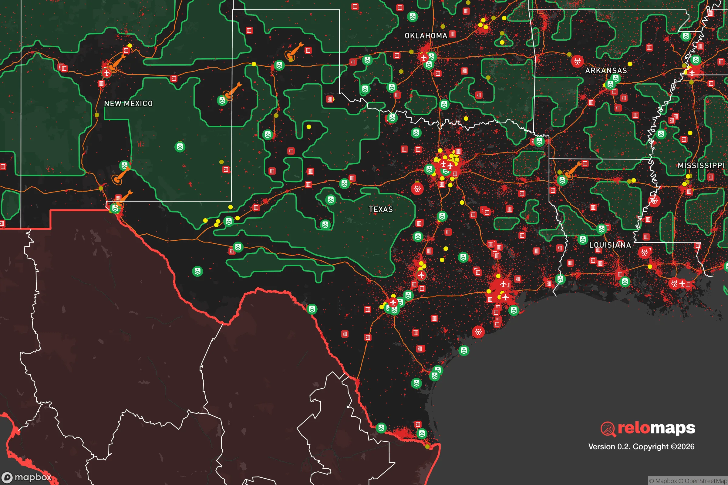


Important Note: For informational purposes only. This does not mean nothing bad ever happens in the green zones. Please use common sense. This is based on public data and modeled with AI. We tried to take a conservative approach but mistakes happen. We update this regularly as new information becomes available.
Solar Generator Recommendations
Backup power matters more here than in safer locations. We've picked three solar generators across budgets and capacity tiers — start with the budget unit if you only need a few essentials, or step up if you want to run a fridge and HVAC for days at a time.

Jackery Portable Power Station Explorer 300
Budget OptionPower on the Go: Weighing only 11 lbs, it's convenient to set up and store with book-sized foldable solar panels

BLUETTI Portable Power Station AC180
Designed for both indoor and outdoor scenarios, AC180 is highly capable as it has a robost capacity and continuous output power.

EF ECOFLOW DELTA Pro Ultra Power Station
Upgraded PickEcoFlow DELTA Pro Ultra is a whole-home energy system designed to grow with your family. Integrated with the Smart Home Panel 2, it scales to meet your evolving energy needs — keeping your home powered, intelligent, and secure through every stage of life.
We earn a commission, at no additional cost to you.
Strategic Assessment Analysis
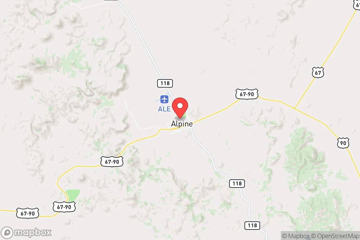
Alpine, Texas, offers a compelling mix of geographic isolation and strategic positioning that makes it a serious contender for those prioritizing resilience and self-sufficiency. Sitting at 4,500 feet in the high desert of the Big Bend region, it’s far from the major population centers of Texas—roughly 200 miles from El Paso, 300 from San Antonio, and 350 from Dallas-Fort Worth—which inherently reduces exposure to the cascading failures that can follow a major disaster in a large city. The town’s small population of about 6,000, combined with its location in Brewster County (the largest county in Texas by area, with fewer than 10,000 residents total), means low population density and minimal competition for resources in a crisis. This isn’t a place for someone looking for urban amenities; it’s a place for someone who values distance from the grid and the ability to operate independently.
Geographic position and natural advantages for long-term security
Alpine’s high desert environment provides several built-in resilience factors. The elevation—over a mile above sea level—means cooler temperatures than the surrounding lowlands, reducing heat-related stress and water evaporation rates. The area sits atop the Edwards-Trinity Plateau aquifer, which provides reliable groundwater, though it’s not unlimited. The surrounding terrain is rugged, with the Davis Mountains to the north and the Chisos Mountains to the south, creating natural barriers that slow movement and provide defensible positions. The region’s low humidity and clear skies also make it favorable for solar energy generation, with an average of 300+ sunny days per year. For a relocator, this means consistent solar power potential, even in winter. The area is also far from major fault lines, with seismic activity being negligible, and it lies outside the hurricane-prone Gulf Coast zone. Flooding is rare due to the arid climate and steep terrain, though flash floods can occur in arroyos during monsoon season (July–September).
Risks, exposures, and proximity to fallout-relevant landmarks
While Alpine’s isolation is a strength, it’s not immune to risks. The primary natural hazard is wildfire, driven by dry conditions, high winds, and abundant brush. The 2011 Rock House Fire burned over 300,000 acres in the region, including areas near Alpine, and was a stark reminder that the wildland-urban interface here is real. Drought is a constant concern; the area averages only about 15 inches of annual rainfall, and multi-year droughts are common. Water rights and access are critical—most homes rely on wells or municipal water from the aquifer, and during severe drought, well depths may need to be deepened. On the man-made risk side, Alpine’s distance from major cities is a double-edged sword: it’s far from the fallout zones of a nuclear event targeting, say, San Antonio or El Paso, but it’s also far from emergency services and resupply chains. The nearest major hospital is in Odessa (about 130 miles), and the closest trauma center is in El Paso. There are no nuclear power plants within 200 miles, and the nearest military installations (Fort Bliss in El Paso, Goodfellow AFB in San Angelo) are far enough to avoid direct blast effects but close enough to potentially draw secondary threats. The area’s low population density also means limited law enforcement presence—Brewster County has fewer than 20 deputies on patrol at any given time.
Practical resilience for a relocator: food, water, energy, and defensibility
For someone serious about self-sufficiency, Alpine offers a mixed bag. Water is the single most limiting factor. The aquifer is reliable but not infinite; well drilling costs run $10,000–$20,000 for a deep well (300–500 feet), and water rights are tied to property. Rainwater harvesting is feasible but requires large cisterns—a 1,000-square-foot roof can collect about 600 gallons per inch of rain, but that’s only 9,000 gallons annually in a dry year. Municipal water from the city of Alpine is treated and reliable but subject to grid failures. Food production is challenging due to the short growing season (last frost in April, first in October) and poor soil. Raised beds with imported soil, hoop houses, and drip irrigation are necessary for serious gardening. Local livestock—goats, chickens, and some cattle—are common, but hay and feed must often be trucked in. The area has a small but active farming community, and the Alpine Farmers Market operates seasonally. Energy is a bright spot: solar is highly viable, with many off-grid homes running on panels and battery banks. Net metering is available through the local electric cooperative (Brewster County Electric Cooperative), but grid outages are rare here compared to urban areas. For defensibility, the terrain provides natural chokepoints—the only major highways are US 90 (east-west) and US 67/385 (north-south), both of which can be monitored or blocked. The town itself is compact, with a walkable downtown and residential areas on the surrounding hills. However, defensibility is not a given; the open desert means long sightlines but also limited cover. A prepared relocator would need to secure a property with good visibility, a reliable water source, and a defensible perimeter—something achievable on a 5–20 acre parcel outside town.
Overall, Alpine presents a strong strategic picture for the disaster-ready relocator, but it’s not a plug-and-play solution. The area’s isolation, low population, and natural resources (sun, water, terrain) provide a solid foundation, but the trade-offs are real: limited medical care, a harsh climate for agriculture, and a long drive to any major supply hub. For a single individual or family willing to invest in infrastructure—solar panels, a deep well, a greenhouse, and a good vehicle—Alpine can be a self-sufficient base. For someone expecting to walk in and survive on the land alone, it’s a harsh environment that demands preparation. The key takeaway: Alpine rewards planning and investment, but punishes complacency. If you’re looking for a place where you can build a resilient life without being in the shadow of a major city, this is one of the better options in Texas. Just bring your own water strategy and a realistic view of what the desert can provide.

* Values derived from national, state, county, city and local statistics and may differ in a specific area. Last updated: 2026-10-02T21:29:06.000Z
Narrative content on this page is AI-generated and may contain mistakes. Verify any details that matter before acting on them.
ReloMaps may earn a commission from affiliate links at no extra cost to you.

