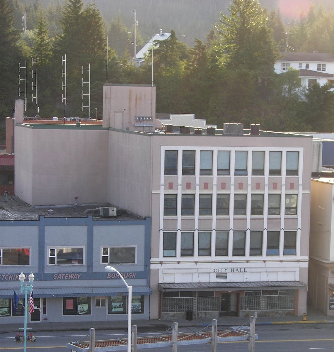
Photo: Wikipedia
Strategic Assessment of Ketchikan Gateway County
Deep buffer from population centers and strategic targets. Low natural disaster risk and minimal exposure to border or coastal threats.
What does the Strategic Assessment tell us?
Our Strategic Assessment grades tactical survivability of an area. Major population centers, military targets, fallout zones, natural disasters, and border exposure all drive risk — lower exposure means a more defensible position in a crisis.
This is heavily inspired by Joel Skousen's Strategic Relocation book. Highly recommended you checkout the book ($)What does this tell us?
Our Strategic Assessment grades tactical survivability of an area. Major population centers, military targets, fallout zones, natural disasters, and border exposure all drive risk — lower exposure means a more defensible position in a crisis.
This is heavily inspired by Joel Skousen's Strategic Relocation book. Highly recommended you checkout the book ($)Strategic Pillars

Key Distances
Strategic Assessment Analysis
Ketchikan Gateway County offers a strategic relocation option for those prioritizing geographic isolation, resource abundance, and low exposure to major metropolitan fallout risks, while retaining reliable infrastructure and community stability. Located in Southeast Alaska, this county provides a rare combination of natural defensibility, ample freshwater, and year-round food access from the sea, all while being several hundred miles from any major strategic or industrial target. For a single individual or family focused on preparedness and self-sufficiency, Ketchikan Gateway County presents one of the most resilient environments available within the United States.
Geographic position and natural advantages for long-term security
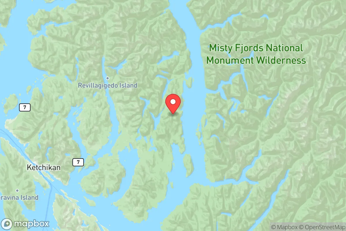
Ketchikan Gateway County sits on the southwestern coast of Revillagigedo Island, with the City of Ketchikan as its urban center and several smaller communities — including Saxman, Ward Cove, and the unincorporated areas along the Tongass Narrows — forming the county's populated corridor. The region is bounded by the Tongass National Forest, one of the largest temperate rainforests in the world, which provides dense tree cover, abundant rainfall (averaging over 150 inches annually), and a natural buffer against overland approaches. The county's insular geography means all access is by air or sea; there are no roads connecting it to mainland North America. This isolation dramatically reduces risks associated with civil unrest, mass migration events, or supply chain disruptions that would affect road-accessible areas. The nearest major city is Juneau, approximately 230 nautical miles to the north, while Anchorage lies roughly 600 miles away. The lower 48 states are over 800 miles distant. Ketchikan's position on the Inside Passage gives it a strategic maritime advantage, providing sheltered waters for boat-based transport and fishing, while the surrounding islands and fjords create natural choke points that would be difficult for unauthorized parties to navigate. The terrain is steep and heavily forested, with limited flat land, which concentrates development in a narrow coastal strip — a feature that enhances community cohesion and makes perimeter monitoring feasible for those concerned with security.
Risk exposures: natural hazards, industrial sites, and geopolitical proximity
While Ketchikan Gateway County excels at minimizing man-made and fallout-related risks, it faces specific natural hazards that any relocator must account for. The county lies within a seismically active zone, with the Queen Charlotte-Fairweather Fault system running offshore. The 1964 Good Friday Earthquake, the largest recorded in North America, caused significant damage in Ketchikan despite its epicenter near Anchorage. Tsunami risk is real: the region has experienced multiple tsunamis from local landslides and distant quakes, including a 1958 event that produced a 1,720-foot wave in Lituya Bay (though outside the county). Flooding from heavy rainfall and high tides routinely affects low-lying areas near Ketchikan Creek and shoreline properties. Landslides are a recurring hazard on steep slopes, particularly after prolonged rain. In terms of man-made risks, Ketchikan Gateway County has minimal exposure. There are no nuclear power plants, major refineries, chemical depots, or military bases within the county. The closest strategic target of any kind is the U.S. Coast Guard Base Ketchikan, a small installation focused on search and rescue and maritime safety — not a high-value strike target. The nearest significant industrial infrastructure is the Prince Rupert port and rail terminus in British Columbia, about 90 miles southeast by sea, which could experience secondary effects from a major conflict but is not a primary strategic target. The county's distance from major population centers means it would avoid fallout patterns from attacks on Seattle, Vancouver, or Anchorage — prevailing winds in Southeast Alaska blow from the southeast, carrying potential fallout out to the Gulf of Alaska rather than landward. The proximity to Canadian waters and airspace introduces a minor geopolitical variable, but Canada's status as a NATO ally and the region's lack of strategic value keep this risk low.
Practical resilience for a relocator: food, water, energy, and defensibility
For a relocator focused on self-sufficiency, Ketchikan Gateway County offers exceptional natural resources but requires significant upfront investment and adaptation. Freshwater is abundant year-round, drawn from the county's many lakes and streams; the city's water system is gravity-fed from Deer Mountain and several surrounding watersheds, operating without electric pumps in most cases, which provides a resilient supply even during power outages. The ocean provides a near-constant protein source: the Inside Passage hosts robust runs of five Pacific salmon species, halibut, rockfish, and Dungeness crab. Annual commercial and subsistence harvests in Ketchikan consistently exceed local need, and the Alaska Department of Fish and Game permits personal-use fishing and hunting with generous bag limits. On land, Sitka black-tailed deer and black-tailed hare are huntable, and berry picking (salmonberries, blueberries, crowberries) is productive from July through September. However, year-round gardening is impractical due to low sunlight, cool summers, and acidic soil; most food production relies on greenhouse cultivation or imported supplies. The Ketchikan port handles 500,000+ tons of cargo annually, and the city's two major grocery stores maintain regular barge deliveries from Seattle, but a disruption would reduce fresh produce and dry goods within three to four weeks. Energy infrastructure is more vulnerable. Ketchikan's electricity comes primarily from hydroelectric plants at Swan Lake and Lake Burnett, supplemented by diesel generators. These hydro facilities are well-maintained but exposed to seismic and weather damage; a major quake could disrupt transmission lines that follow steep, forested terrain. The county has no natural gas pipeline — heating is largely by heating oil or wood. Those with a woodlot and a stove would have a significant heating advantage. Defensibility is a mixed picture. The island geography and single road network (the Tongass Highway) create natural chokepoints, but the dense forest also provides cover for anyone approaching through the bush. The population of about 14,000 is spread across roughly 50 miles of coastline, making community-wide perimeter defense impractical. However, the small population and strong social networks (Alaska's strong hunting and subsistence culture means many households are armed and skilled in wilderness survival) create a de facto deterrent against ordinary threats. The Ketchikan Police Department and Alaska State Troopers maintain a visible presence, but response times to remote areas can be 30 minutes or more.
In the broader strategic picture, Ketchikan Gateway County ranks among the most resilient areas available to relocation-minded individuals in North America, particularly for those willing to adapt to a maritime subsistence lifestyle. Its combination of fresh water, sea-based protein, hydroelectric power, geographic isolation, and minimal exposure to strategic-scale threats provides a foundation that few locations in the contiguous United States can match. The trade-offs are real: severe weather, high cost of living (groceries and fuel are 20-40% above national averages), limited medical infrastructure (the Ketchikan Medical Center is a small critical access hospital), and the psychological effects of long, dark winters and isolation. For a family or individual who values preparedness over convenience and is capable of mastering marine resource extraction, this county offers a defensible, low-risk environment that aligns with the core principles of long-term resilience. It is not a location to be chosen lightly, but for those who accept its constraints, Ketchikan Gateway County represents a genuinely secure foothold in an uncertain world.

* Values derived from national, state, county, city and local statistics and may differ in a specific area. Last updated: 2026-07-01T03:07:37.000Z
Narrative content on this page is AI-generated and may contain mistakes. Verify any details that matter before acting on them.
ReloMaps may earn a commission from affiliate links at no extra cost to you.

