Strategic Assessment of Hoonah Angoon County
Deep buffer from population centers and strategic targets. Low natural disaster risk and minimal exposure to border or coastal threats.
What does the Strategic Assessment tell us?
Our Strategic Assessment grades tactical survivability of an area. Major population centers, military targets, fallout zones, natural disasters, and border exposure all drive risk — lower exposure means a more defensible position in a crisis.
This is heavily inspired by Joel Skousen's Strategic Relocation book. Highly recommended you checkout the book ($)What does this tell us?
Our Strategic Assessment grades tactical survivability of an area. Major population centers, military targets, fallout zones, natural disasters, and border exposure all drive risk — lower exposure means a more defensible position in a crisis.
This is heavily inspired by Joel Skousen's Strategic Relocation book. Highly recommended you checkout the book ($)Strategic Pillars

Key Distances
Strategic Assessment Analysis
Hoonah-Angoon County, Alaska, offers a unique strategic profile for relocators prioritizing resilience and self-sufficiency, but it demands a clear-eyed assessment of its trade-offs. This remote Southeast Alaska region, encompassing the towns of Hoonah, Angoon, Gustavus, and the tiny outpost of Tenakee Springs, is defined by its isolation from major infrastructure and its proximity to vast wilderness. For a conservative-leaning individual or family seeking to minimize exposure to national-scale disruptions—whether economic, social, or geopolitical—this county presents both compelling advantages and significant, non-negotiable risks.
Geographic position and natural advantages for long-term security
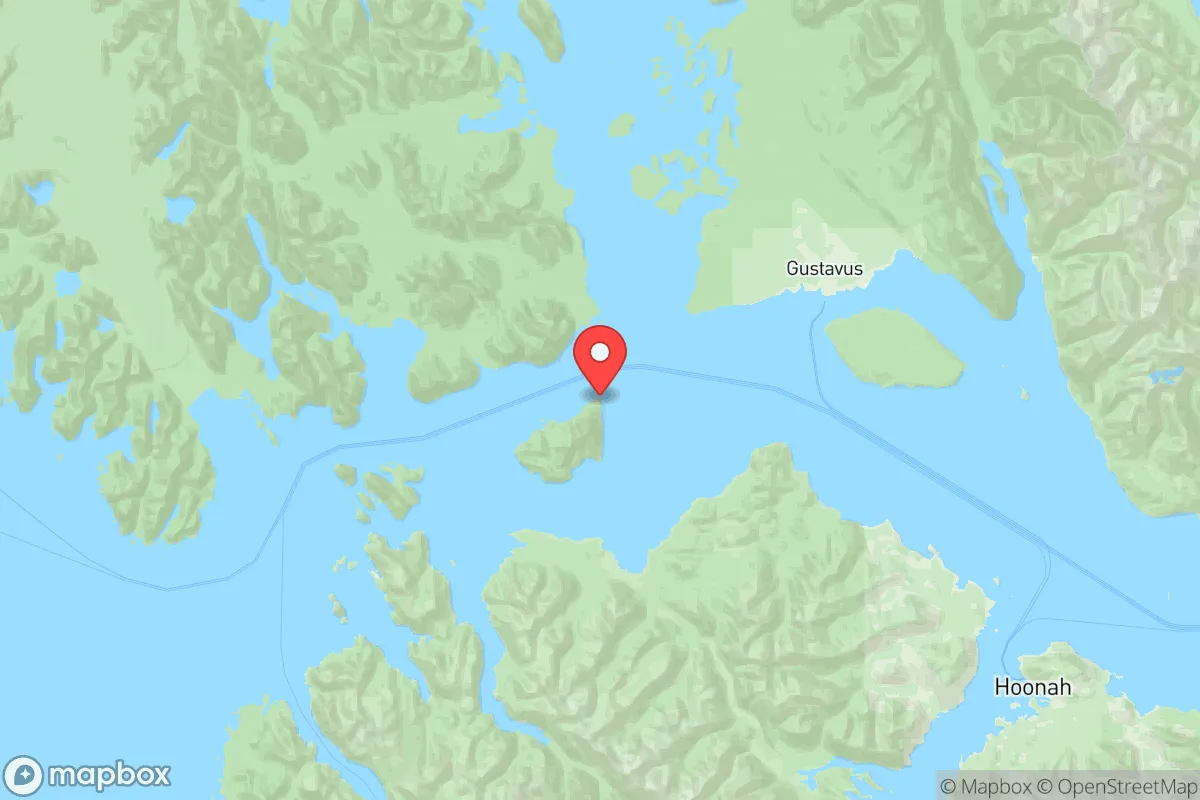
Hoonah-Angoon County sits on the northern edge of the Inside Passage, roughly 40 air miles west of Juneau, the state capital. Its geographic position is a double-edged sword: it is far from any major population center or industrial target, but it is also far from supply chains. The county’s primary settlement, Hoonah (population ~800), is accessible only by air or sea—no road connects it to the rest of Alaska or Canada. This isolation is a core resilience feature. The area is surrounded by the Tongass National Forest, one of the largest temperate rainforests in the world, providing abundant fresh water, timber, and wildlife. The marine environment offers year-round protein sources: salmon, halibut, Dungeness crab, and deer on the islands. The terrain is mountainous and heavily forested, with numerous protected bays and inlets that could serve as defensible anchorages. The climate is maritime—cool, wet, and relatively stable—avoiding the extreme cold of interior Alaska while still offering a long growing season for hardy crops like potatoes, kale, and root vegetables in raised beds. The county’s location also places it outside the primary fallout corridors from any major conflict involving Pacific Northwest targets (e.g., Puget Sound naval bases, Portland, Seattle), though this is not a guarantee of safety.
Risks, exposures, and proximity to fallout-relevant landmarks
The most significant risk for a relocator in Hoonah-Angoon County is not man-made but natural: the region sits within the Alaska-Aleutian subduction zone, capable of generating magnitude 8+ earthquakes and subsequent tsunamis. The 1964 Good Friday earthquake (9.2 magnitude) caused significant wave damage in the area, and the community of Hoonah is built on low-lying ground near the water. Any relocation plan must account for tsunami evacuation routes and elevated structures. Man-made risks are minimal due to the county’s remoteness. The nearest potential fallout-relevant landmarks are the U.S. Coast Guard Air Station in Sitka (about 80 miles south) and the Juneau International Airport (40 miles east), which could be secondary targets in a conflict. The county itself contains no military bases, refineries, or major industrial sites. The only significant infrastructure is the Hoonah ferry terminal (Alaska Marine Highway) and the small airstrip. The town of Gustavus, near Glacier Bay National Park, is even more isolated, with a population under 500 and no road connection to Hoonah. For a relocator concerned about proximity to targets, this county is among the safest in the U.S. in terms of direct attack risk. However, the lack of redundancy in supply chains means that any disruption to barge or air service—whether from a natural disaster, fuel shortage, or geopolitical event—would cut off food, medicine, and fuel within weeks.
Practical resilience for a relocator: food, water, energy, and defensibility
For a family or individual serious about self-sufficiency, Hoonah-Angoon County offers a high ceiling but a low floor. Water is abundant: the region receives 60-100 inches of rain annually, and most homes rely on rooftop catchment systems or gravity-fed springs. Filtration is essential due to wildlife and sediment, but a 1,000-gallon cistern is standard. Food production is viable but labor-intensive. The growing season is short (May to September) and cool, but the long daylight hours (up to 18 hours in June) allow for productive gardens. Wild game and fish are plentiful, but hunting and fishing require skill, equipment, and time. The local economy is subsistence-based for many residents, meaning a relocator must be prepared to invest in gear and training. Energy is the weak point. Hoonah’s electricity comes from diesel generators, with some hydroelectric from a small dam on the Hoonah River. Fuel is delivered by barge and is expensive—typically $4-6 per gallon. Solar is marginal due to heavy cloud cover and short winter days; wind is possible but inconsistent. A serious off-grid setup would require a combination of micro-hydro (if a stream is available), a small diesel generator, and wood heat. Defensibility is high: the terrain is rugged, the population is sparse, and the only access points are the harbor and airstrip. A small group could effectively monitor both. However, the social fabric is tight-knit and insular; newcomers are viewed with suspicion until they prove themselves. A relocator should expect a period of social isolation and should not rely on the community for support in a crisis without building relationships first.
The overall strategic picture for Hoonah-Angoon County is one of extreme trade-offs. It offers perhaps the highest natural defensibility and lowest man-made risk of any county in the United States, but at the cost of severe logistical fragility and a harsh, wet climate that demands significant capital and skill to manage. For a relocator with the resources to build a self-sufficient homestead—solar panels, a greenhouse, a water catchment system, a boat, and a year’s worth of supplies—this area could be a sanctuary. For someone expecting to plug into an existing community or rely on occasional supply runs, it is a high-risk gamble. The county’s isolation is its greatest asset and its greatest liability. If you can handle the rain, the bears, and the loneliness, and if you have the means to be truly independent, Hoonah-Angoon County is a strategic stronghold. If not, it is a beautiful trap.

* Values derived from national, state, county, city and local statistics and may differ in a specific area. Last updated: 2026-10-21T14:08:39.000Z
Narrative content on this page is AI-generated and may contain mistakes. Verify any details that matter before acting on them.
ReloMaps may earn a commission from affiliate links at no extra cost to you.

