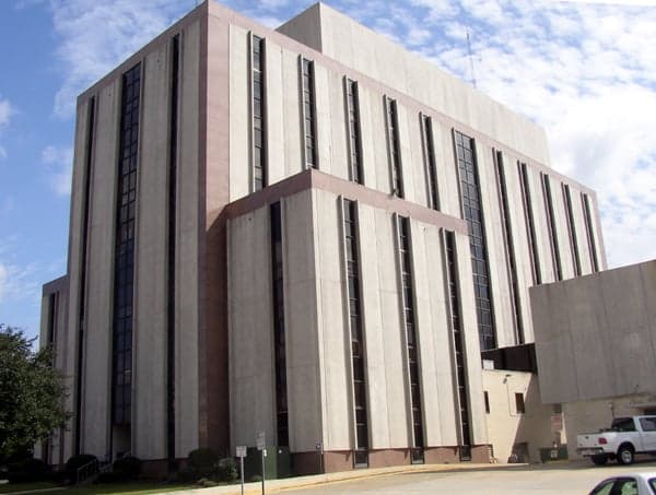
Photo: Wikipedia
Strategic Assessment of Tuscaloosa County
Workable tactical position. Some exposure to population density or targets, but generally defensible in a crisis.
What does the Strategic Assessment tell us?
Our Strategic Assessment grades tactical survivability of an area. Major population centers, military targets, fallout zones, natural disasters, and border exposure all drive risk — lower exposure means a more defensible position in a crisis.
This is heavily inspired by Joel Skousen's Strategic Relocation book. Highly recommended you checkout the book ($)What does this tell us?
Our Strategic Assessment grades tactical survivability of an area. Major population centers, military targets, fallout zones, natural disasters, and border exposure all drive risk — lower exposure means a more defensible position in a crisis.
This is heavily inspired by Joel Skousen's Strategic Relocation book. Highly recommended you checkout the book ($)Strategic Pillars

Key Distances
Strategic Assessment Analysis
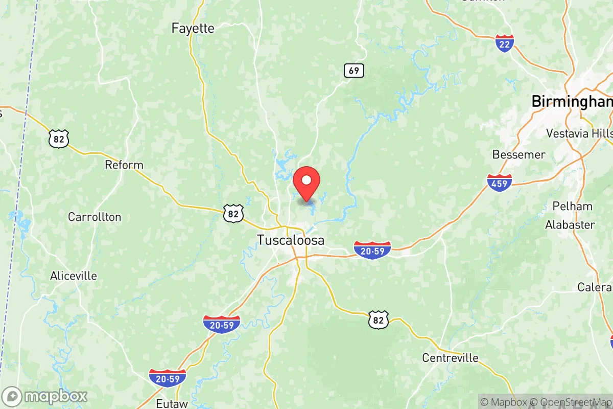
Tuscaloosa County offers a compelling mix of strategic depth and practical resilience for relocators prioritizing disaster readiness and self-sufficiency. Its position along the Black Warrior River, roughly 60 miles southwest of Birmingham and 100 miles northeast of Mississippi’s state line, provides a buffer from the densest urban corridors while retaining access to critical infrastructure. The county’s population of roughly 230,000 is anchored by the city of Tuscaloosa, but the surrounding towns of Northport, Coker, and Brookwood offer more rural, defensible options. For a reader weighing fallout risks, industrial exposure, and long-term sustainability, Tuscaloosa County presents a balanced but not risk-free picture.
Geographic position and natural advantages for long-term security
Tuscaloosa County sits in the fall line hills of west-central Alabama, a transition zone between the coastal plain and the Appalachian foothills. This topography provides natural defensibility: rolling hills, hardwood forests, and river bluffs create numerous choke points and concealment opportunities for a prepared homesteader. The Black Warrior River, a navigable tributary of the Tombigbee, offers a reliable water source and a potential transport corridor if road networks are compromised. The county’s location places it outside the 50-mile radius of any major metropolitan target — Birmingham is the nearest city of consequence, and its industrial core (including the U.S. Steel Fairfield Works) lies roughly 55 miles east. This distance, combined with prevailing westerly winds, reduces but does not eliminate fallout exposure from a Birmingham strike. The county also sits well inland from Gulf Coast hurricane landfall zones, though tropical remnants can still bring heavy rain and flooding.
Risks, exposures, and proximity to fallout-relevant landmarks
The most significant man-made risk in Tuscaloosa County is the Miller Steam Plant, a coal-fired power station on the Black Warrior River near the town of Quinton. While not a nuclear facility, its coal ash ponds and chemical storage represent a secondary hazard in a crisis. The county also hosts the Hunt Refining Company in Tuscaloosa, a 40,000-barrel-per-day oil refinery that could be a target for sabotage or become a source of airborne contamination if damaged. For a relocator concerned with nuclear fallout, the nearest strategic targets include the aforementioned Birmingham industrial corridor and the Tennessee Valley Authority’s Browns Ferry Nuclear Plant in Limestone County, roughly 110 miles north. The county’s position along Interstate 20/59, a major east-west freight corridor connecting Atlanta to Dallas, is a double-edged sword: it provides supply-chain access but also funnels evacuees and military traffic during a crisis. Tornado risk is real — Tuscaloosa was devastated by an EF4 tornado in 2011 — so any property must include a storm shelter or reinforced safe room.
Practical resilience for a relocator: food, water, energy, and defensibility
For a relocator serious about self-sufficiency, Tuscaloosa County offers strong fundamentals. The Black Warrior River and its tributaries (including North River and Big Sandy Creek) provide abundant surface water, and the county’s average annual rainfall of 55 inches supports rain catchment systems and off-grid gardening. The growing season stretches from mid-March to early November, allowing for two crop cycles of staples like corn, beans, and squash. The county’s agricultural land is affordable, with raw acreage in rural areas like Samantha and Echola running $3,000–$5,000 per acre as of 2025. Local food production is supported by the Tuscaloosa Farmers Market and a network of small-scale livestock operations. Energy resilience is moderate: Alabama Power’s grid is reliable but centralized, and natural gas service is limited in rural zones. Solar potential is good, with roughly 4.5 peak sun hours per day, and wood heating is viable given the county’s extensive timberland. Defensibility varies by location — properties along dead-end roads off County Road 21 or near the Talladega National Forest boundary offer natural isolation, while subdivisions near the Tuscaloosa city limits are more exposed to population movement and looting risk.
The overall strategic picture for Tuscaloosa County is one of moderate-to-strong resilience with specific, manageable vulnerabilities. Its distance from primary nuclear targets, abundant water resources, and affordable agricultural land make it a viable option for a relocator seeking a balance between isolation and access. The key trade-offs are tornado exposure, the presence of a refinery within the county, and the risk of population influx along I-20/59 during a regional crisis. For a family or individual willing to invest in a storm shelter, a well-drilled water system, and a defensible rural property in the county’s western or northern reaches, Tuscaloosa County offers a defensible base of operations with room to grow food and store supplies. It is not a fallout-free zone, but it is a practical one — and in a crisis, practical beats perfect every time.

* Values derived from national, state, county, city and local statistics and may differ in a specific area. Last updated: 2026-06-16T12:35:57.000Z
Narrative content on this page is AI-generated and may contain mistakes. Verify any details that matter before acting on them.
ReloMaps may earn a commission from affiliate links at no extra cost to you.

