Photo: Wikipedia
Strategic Assessment of Talladega County
Workable tactical position. Some exposure to population density or targets, but generally defensible in a crisis.
What does the Strategic Assessment tell us?
Our Strategic Assessment grades tactical survivability of an area. Major population centers, military targets, fallout zones, natural disasters, and border exposure all drive risk — lower exposure means a more defensible position in a crisis.
This is heavily inspired by Joel Skousen's Strategic Relocation book. Highly recommended you checkout the book ($)What does this tell us?
Our Strategic Assessment grades tactical survivability of an area. Major population centers, military targets, fallout zones, natural disasters, and border exposure all drive risk — lower exposure means a more defensible position in a crisis.
This is heavily inspired by Joel Skousen's Strategic Relocation book. Highly recommended you checkout the book ($)Strategic Pillars

Key Distances
Strategic Assessment Analysis
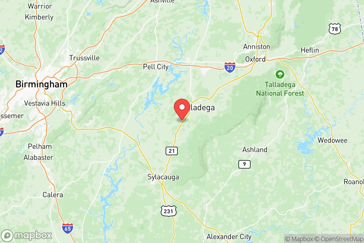
Talladega County, Alabama, offers a compelling mix of geographic isolation and practical self-sufficiency that appeals to relocation-minded individuals and families prioritizing resilience. Located roughly 50 miles east of Birmingham and 90 miles west of Atlanta, the county sits in the foothills of the Appalachian range, providing natural barriers and a lower population density than the state’s major metro areas. The county seat, Talladega, and the smaller towns of Sylacauga, Lincoln, and Munford form a network of communities where land is affordable, water is abundant, and the local economy is anchored by manufacturing and agriculture rather than high-risk urban industries. For a reader assessing long-term preparedness, Talladega County presents a balanced picture: genuine strategic advantages in terms of defensible terrain and resource access, offset by real exposure to man-made risks from nearby infrastructure and the inevitable pull of regional crises.
Geographic position and natural advantages for long-term security
Talladega County’s location is its strongest asset for resilience. The county straddles the southern edge of the Appalachian foothills, with the Talladega National Forest covering a significant portion of the northern and eastern areas. This forested, hilly terrain provides natural cover, reduces the risk of large-scale flooding (common in the flatter Gulf Coastal Plain), and offers ample hunting and foraging opportunities. The Coosa River runs along the county’s western border, and the Talladega Creek and several smaller tributaries provide reliable surface water sources. The county’s average elevation of roughly 600 to 1,200 feet above sea level means it is well above storm surge zones and far from hurricane-prone coastal areas. The climate is humid subtropical, with hot summers and mild winters, supporting a growing season of about 220 days—long enough for serious gardening and small-scale farming. The soil in the valley areas, particularly around Sylacauga and the Coosa River bottomlands, is fertile enough for staple crops like corn, beans, and squash. For a relocator, the ability to produce food, access timber for fuel and construction, and find defensible building sites on ridgelines or near water is a tangible advantage that few suburban or exurban counties can match.
Risks, exposures, and proximity to fallout-relevant landmarks
The most significant risk for Talladega County is its proximity to two major man-made hazard zones: the Birmingham metropolitan area to the west and the Anniston Army Depot to the east. The Anniston Army Depot, located about 20 miles east of Talladega city in Calhoun County, is a primary storage and demilitarization site for chemical weapons and conventional munitions. While the depot has been in the process of destroying its chemical stockpile for years, the presence of any remaining agents and the sheer volume of explosives on site make it a potential target or accident source. A major incident at the depot could affect downwind areas, including eastern Talladega County. Additionally, the county lies within 100 miles of the Browns Ferry Nuclear Plant in Limestone County (about 90 miles northwest) and the Farley Nuclear Plant in Houston County, Alabama (about 120 miles southeast). While these are not immediate threats, a worst-case release could affect the region depending on wind patterns. The county also sits near Interstate 20, a major east-west freight corridor that runs through the southern part of the county, including the town of Lincoln. This highway is a likely route for hazardous material transport and could become a chokepoint or target during a crisis. Natural risks are lower: tornadoes are a seasonal threat, but the hilly terrain reduces the frequency of direct hits compared to the flatlands of central Alabama. The county is not in a designated earthquake zone, and wildfire risk is moderate, concentrated in the national forest areas during dry spells.
Practical resilience for a relocator: food, water, energy, and defensibility
For someone serious about self-sufficiency, Talladega County offers a workable foundation. Water is the strongest asset: the Coosa River and its tributaries provide year-round flow, and groundwater is accessible via wells in most areas, with typical depths of 100 to 300 feet yielding good quality water. The county’s annual rainfall of about 55 inches means rainwater catchment is highly viable. Food production is feasible on parcels of 5 to 20 acres, with local extension services through Auburn University offering guidance on gardening, livestock, and soil management. The county has a strong hunting culture—deer, turkey, and small game are abundant in the national forest and private woodlands. For energy, the county is served by Alabama Power, which maintains a relatively stable grid, but the terrain makes solar panel placement effective on south-facing slopes, and wood heating is practical given the forest cover. Defensibility is a mixed picture: the hilly terrain and winding roads create natural chokepoints and observation points, but the county’s population of about 82,000 is spread out, meaning a relocator on a rural property can achieve significant isolation. The towns of Sylacauga and Talladega have local police and sheriff’s departments, but response times in remote areas can exceed 20 minutes. The county’s economic base—manufacturing (auto parts, textiles), agriculture, and a small tourism sector tied to the Talladega Superspeedway—means that local supply chains for hardware, feed, and building materials are present but not overbuilt. The presence of the Talladega National Forest also means that federal land management can impose restrictions during fire or disaster events, which is a minor but real consideration.
Overall, Talladega County occupies a middle ground in the resilience landscape. It is not a remote mountain redoubt—it is within a two-hour drive of two major cities and sits near a significant military depot and interstate corridor. But for a relocator who wants to be within striking distance of urban resources while maintaining a genuinely self-sufficient property, the county’s water abundance, arable land, and defensible terrain make it a practical choice. The key is to choose a site away from the I-20 corridor and the Anniston Depot’s immediate downwind zone—look toward the northern part of the county, near the national forest, or the southern hills around Sylacauga. With careful property selection and a realistic plan for food and water storage, Talladega County offers a solid base for a family or individual who values preparedness without requiring a complete off-grid existence. The risks are real but manageable, and the natural advantages are tangible. For the right person, this is a place where resilience is not just a concept but a daily reality.

* Values derived from national, state, county, city and local statistics and may differ in a specific area. Last updated: 2026-06-28T19:12:03.000Z
Narrative content on this page is AI-generated and may contain mistakes. Verify any details that matter before acting on them.
ReloMaps may earn a commission from affiliate links at no extra cost to you.

