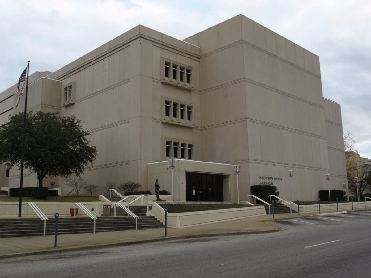
Photo: Wikipedia
Strategic Assessment of Montgomery County
Workable tactical position. Some exposure to population density or targets, but generally defensible in a crisis.
What does the Strategic Assessment tell us?
Our Strategic Assessment grades tactical survivability of an area. Major population centers, military targets, fallout zones, natural disasters, and border exposure all drive risk — lower exposure means a more defensible position in a crisis.
This is heavily inspired by Joel Skousen's Strategic Relocation book. Highly recommended you checkout the book ($)What does this tell us?
Our Strategic Assessment grades tactical survivability of an area. Major population centers, military targets, fallout zones, natural disasters, and border exposure all drive risk — lower exposure means a more defensible position in a crisis.
This is heavily inspired by Joel Skousen's Strategic Relocation book. Highly recommended you checkout the book ($)Strategic Pillars

Key Distances
Strategic Assessment Analysis
Montgomery County, Alabama, presents a mixed strategic picture for the relocation-minded reader focused on resilience and self-sufficiency. While the city of Montgomery itself is a significant population and government center, the county’s broader geography offers a blend of moderate natural advantages and notable man-made risks that require careful consideration. For a single individual or family looking to balance access to resources with a degree of separation from major metropolitan chaos, the county’s position along the Alabama River and its distance from coastal hurricane zones are genuine assets, but its proximity to critical infrastructure and military targets introduces real vulnerabilities.
Geographic position and natural advantages for long-term stability
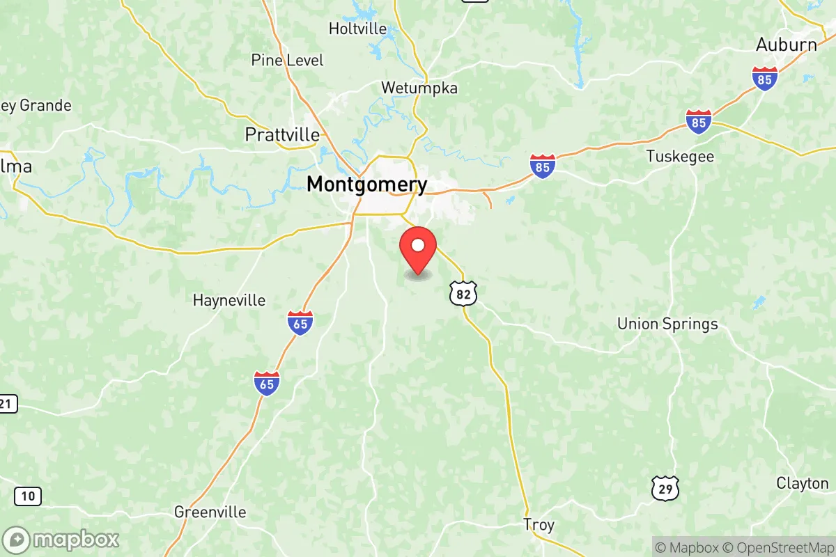
Montgomery County sits at the fall line of the Alabama River, a location that historically provided hydropower and transportation access. For a modern relocator, this means a reliable surface water source—the Alabama River runs through the heart of the county and is supplemented by the Tallapoosa River to the east and the Coosa River system to the north. The county’s inland location, roughly 170 miles from the Gulf of Mexico, offers a meaningful buffer against the most severe hurricane storm surge and direct coastal flooding. While the region is not immune to tornadoes—central Alabama sits in the heart of Dixie Alley—the terrain is generally rolling hills and pine forests, not flood-prone bottomlands. The local climate supports a long growing season of roughly 230 days, which is a practical advantage for anyone serious about food self-sufficiency. The county’s position also places it roughly equidistant from Atlanta (160 miles northeast) and Mobile (170 miles south), offering a strategic depth that avoids the immediate fallout zone of a major metropolitan center while still providing access to regional supply chains in a non-crisis period.
Risks, exposures, and proximity to fallout-relevant landmarks
The most significant strategic liability for Montgomery County is its concentration of high-value government and military infrastructure. Maxwell Air Force Base and Gunter Annex, located within the city of Montgomery, are major Department of Defense installations housing the Air University, the Air Force’s professional education command. In any major conflict scenario involving strategic strikes on U.S. command and control nodes, these bases represent a clear target. Additionally, the Alabama State Capitol and associated state government buildings in downtown Montgomery are symbolic and functional targets. Beyond direct military risk, the county is situated within a broader industrial corridor. The Hyundai Motor Manufacturing Alabama plant in Montgomery and the Pine Bend Refinery (a major oil storage and distribution hub) are significant industrial sites that could become secondary targets or sources of hazardous material release. The county’s position along Interstate 65 and the CSX rail line also means it is a chokepoint for regional logistics, which could become a liability in a grid-down scenario due to potential refugee flow from the Gulf Coast. While Montgomery County is not in the immediate blast radius of a major port like Mobile, it is close enough to be affected by the economic and population displacement effects of a port disruption.
Practical resilience for a relocator: food, water, energy, and defensibility
For the individual or family prioritizing practical self-sufficiency, Montgomery County offers a mixed bag. Water access is a genuine strength: the Alabama River and its tributaries provide a substantial surface water resource, and the county’s groundwater aquifers are generally productive for private wells in rural areas. However, the city of Montgomery’s municipal water system is dependent on the Montgomery Water Works and Sanitary Sewer Board, which draws from the Alabama River and is vulnerable to contamination events upstream. For energy, the county is served by Alabama Power, which relies on a mix of coal, natural gas, and nuclear (the Farley Nuclear Plant is roughly 90 miles southeast in Houston County). A nuclear plant within 100 miles is a consideration for anyone planning long-term habitation, though the risk profile is different from a direct strike target. Food production potential is decent: the county has a number of small farms and is within the Black Belt region, which has fertile clay soils suitable for row crops and pasture. Local food infrastructure includes the Montgomery Farmers Market and a growing network of community gardens, but the county is not a major agricultural exporter. Defensibility is moderate. The terrain is not mountainous, but the rural areas east and north of Montgomery offer wooded, low-density settlement patterns that are more defensible than suburban subdivisions. The presence of the Alabama River provides a natural barrier to the south and west, but the county is bisected by major highways (I-65, I-85, US-80, US-231) that make it a natural transit corridor. For a relocator, the key is to look at the unincorporated areas around Pike Road, Mount Meigs, and the eastern part of the county, where property is more affordable and neighbors are fewer, reducing the risk of being caught in a population-density cascade during a crisis.
Overall, Montgomery County is not a high-resilience haven, but it is a defensible middle ground for someone who wants to stay within striking distance of regional infrastructure without living directly on top of a primary target. The presence of Maxwell AFB and the state capitol introduces a real, if low-probability, risk of strategic attention. For the relocator who is serious about preparedness, the county’s water access and growing season are genuine assets, but the energy grid dependency and proximity to industrial and military infrastructure mean that a truly resilient setup would require off-grid water and power, a well-stocked pantry, and a location well away from the city core and major transit routes. If you can secure property in the rural eastern or northern parts of the county, you gain the benefits of the region’s natural advantages while mitigating the most significant man-made risks. If you are looking for a place that is both connected and capable of riding out a moderate disruption, Montgomery County is worth a serious look—just know where the vulnerabilities lie before you commit.

* Values derived from national, state, county, city and local statistics and may differ in a specific area. Last updated: 2026-06-21T15:43:05.000Z
Narrative content on this page is AI-generated and may contain mistakes. Verify any details that matter before acting on them.
ReloMaps may earn a commission from affiliate links at no extra cost to you.

