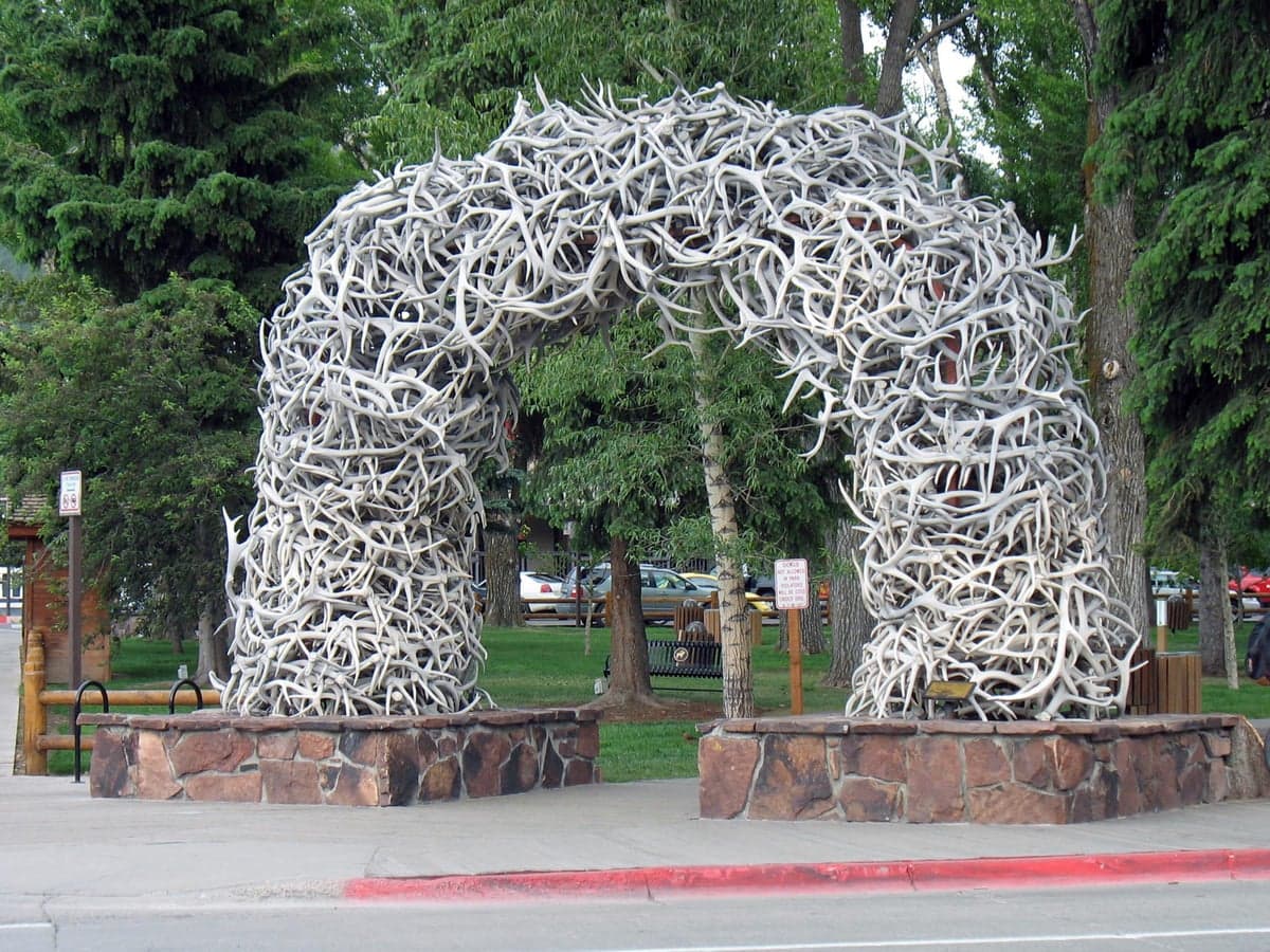
Photo: Wikipedia
Strategic Assessment of Teton County
Strong survivability profile. Good buffer from population centers, with manageable environmental and tactical risks.
What does the Strategic Assessment tell us?
Our Strategic Assessment grades tactical survivability of an area. Major population centers, military targets, fallout zones, natural disasters, and border exposure all drive risk — lower exposure means a more defensible position in a crisis.
This is heavily inspired by Joel Skousen's Strategic Relocation book. Highly recommended you checkout the book ($)What does this tell us?
Our Strategic Assessment grades tactical survivability of an area. Major population centers, military targets, fallout zones, natural disasters, and border exposure all drive risk — lower exposure means a more defensible position in a crisis.
This is heavily inspired by Joel Skousen's Strategic Relocation book. Highly recommended you checkout the book ($)Strategic Pillars

Key Distances
Strategic Assessment Analysis
Teton County, Wyoming, offers a unique strategic profile for the relocation-minded reader focused on resilience and self-sufficiency. Its primary advantage is extreme geographic isolation, buffered by the Bridger-Teton National Forest and the Teton Range, which places it far from the major population centers and industrial corridors that define most fallout and vulnerability maps. However, this same isolation creates distinct logistical challenges, making it a location that demands serious preparation rather than offering turnkey security.
Geographic position and natural advantages for long-term security
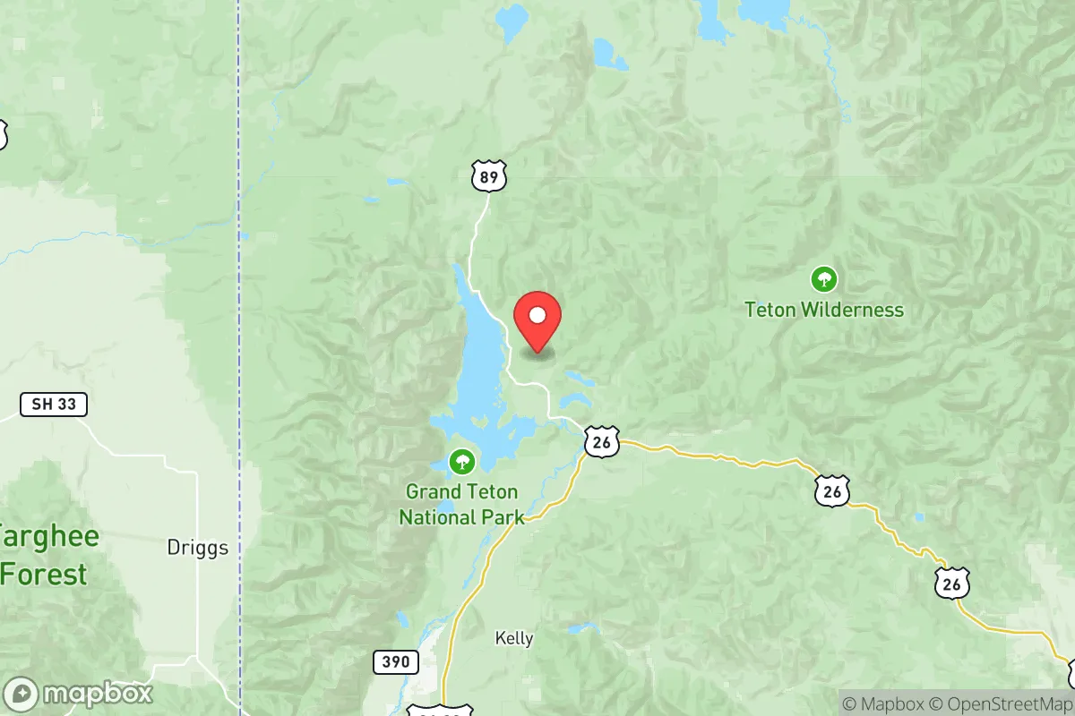
Teton County sits in the far northwestern corner of Wyoming, with the town of Jackson as its only incorporated municipality and primary population hub. The county is bordered by the Teton Range to the west and the Gros Ventre Range to the east, creating a natural fortress-like topography. The nearest city of any significant size is Idaho Falls, Idaho, roughly 90 miles to the southwest, while the sprawling Front Range urban corridor — Denver, Colorado Springs, and Cheyenne — lies over 400 miles to the southeast. This distance from major metropolitan areas is a critical advantage for a relocator concerned with disaster readiness. The county is also far removed from any major military installations, such as Hill Air Force Base in Utah or the nuclear facilities near Idaho Falls, reducing the likelihood of being near a primary or secondary target in a conflict scenario. The Snake River flows through the valley, providing a reliable surface water source, and the surrounding national forest offers a vast buffer against encroaching development or population pressure. The area's high elevation (around 6,200 feet in the valley) and cold climate naturally deter many of the disease vectors and agricultural pests found in warmer regions, adding a layer of long-term agricultural stability.
Risks, exposures, and proximity to fallout-relevant landmarks
While Teton County is distant from the most obvious strategic targets, it is not without exposure. The primary man-made risk comes from the Idaho National Laboratory (INL), located roughly 80 miles west near Idaho Falls. INL is a major nuclear research and testing facility, and while it is not a weapons depot, its presence introduces a non-zero risk of radiological incident. Prevailing winds in the region generally blow from the west, meaning a plume from INL could theoretically reach the Jackson Hole valley under certain conditions. Additionally, the county lies within the Yellowstone Caldera zone, though the supervolcano's eruption risk is statistically negligible in a human lifetime. More immediate natural risks include severe winter storms that can close Teton Pass (the primary route into Idaho) for days, and a significant avalanche danger in the surrounding canyons. The county's reliance on a single major road corridor — Highway 89/191 through the Snake River Canyon — for ground access to the south is a vulnerability. A landslide or bridge failure on this route would effectively isolate the valley from the rest of Wyoming. For a relocator, the key takeaway is that Teton County is not a target-rich environment, but its single-point-of-failure transportation links and proximity to a nuclear research facility require a realistic assessment of secondary risks.
Practical resilience for a relocator: food, water, energy, and defensibility
For a relocator serious about self-sufficiency, Teton County presents a mixed picture. The growing season is short — roughly 60 to 90 days between the last and first frost — which limits what can be grown outdoors. Hardy crops like potatoes, root vegetables, and cold-tolerant greens are viable, but a full year-round food supply from local agriculture is unrealistic without significant greenhouse infrastructure. The county has a strong local food movement, with the Jackson Hole Farmers Market and several community-supported agriculture (CSA) programs, but these are seasonal and priced for a tourist economy. Water is abundant from the Snake River and its tributaries, but surface water rights in Wyoming are complex and heavily regulated; a relocator should secure a property with a well or a senior water right before assuming access. Energy is a notable vulnerability: the county's grid is served by Rocky Mountain Power, and power outages from winter storms are common. Solar potential is good due to high elevation and clear skies, but snow cover on panels is a real winter challenge. Wood heating is common and practical, with ample firewood available from the national forest under permit. Defensibility is excellent due to the natural terrain — the valley is a natural choke point, and the surrounding mountains make large-scale movement difficult. However, the county's population of roughly 23,000 swells to over 30,000 during peak tourist seasons, creating a transient population that complicates community cohesion and resource allocation in a crisis. The local law enforcement presence is limited, with the Teton County Sheriff's Office covering a vast area, so personal security and community mutual aid networks are essential.
The overall strategic picture for Teton County is one of high natural defensibility offset by significant logistical and climatic constraints. It is an excellent location for a relocator who values isolation, has the capital to invest in infrastructure (greenhouses, solar, backup heating, and water storage), and is willing to accept a short growing season and winter access challenges. The county's distance from major targets and its natural fortress geography are genuine advantages, but the reliance on a single road corridor and the proximity to the Idaho National Laboratory are factors that cannot be ignored. For the disciplined, well-prepared individual or family, Teton County offers a viable long-term base with strong natural buffers — but it is not a location for those seeking an easy or low-effort path to resilience.

* Values derived from national, state, county, city and local statistics and may differ in a specific area. Last updated: 2026-07-03T22:49:25.000Z
Narrative content on this page is AI-generated and may contain mistakes. Verify any details that matter before acting on them.
ReloMaps may earn a commission from affiliate links at no extra cost to you.

