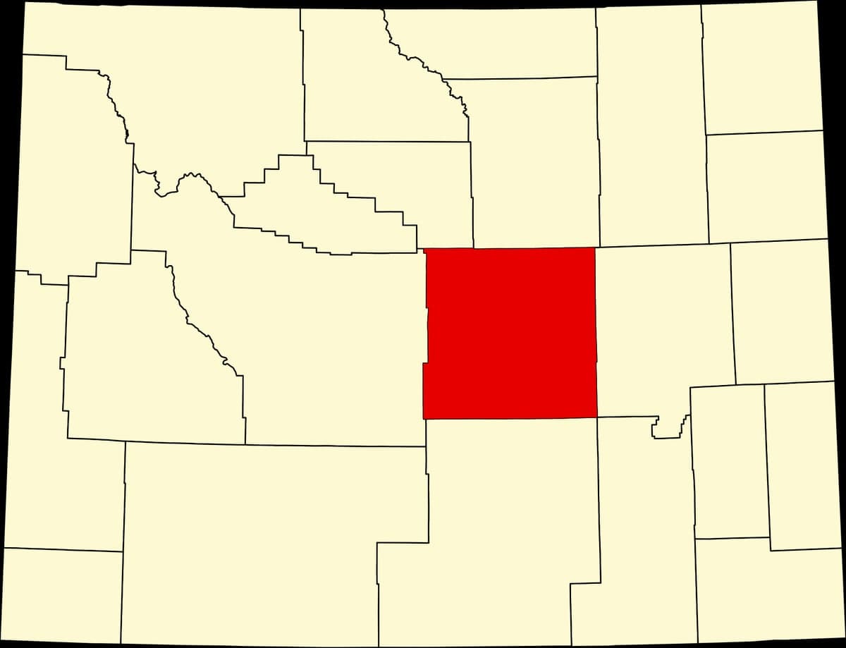
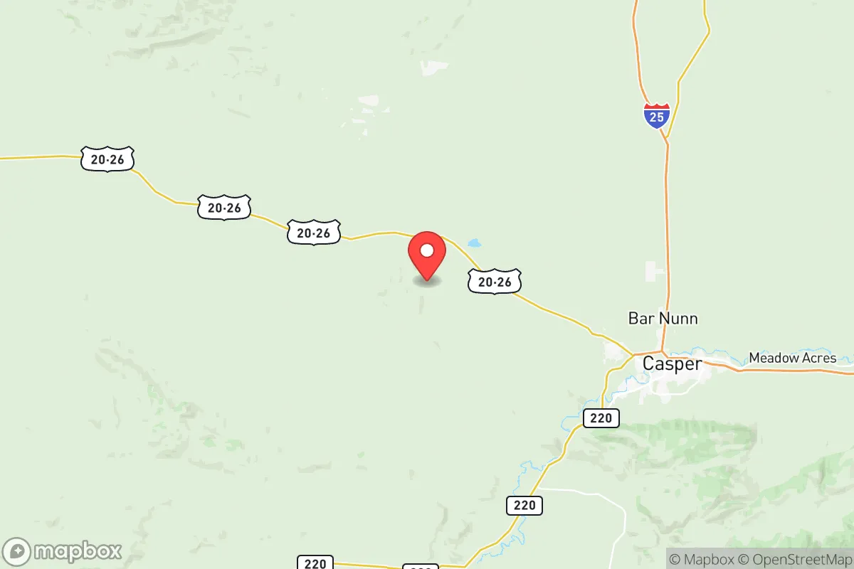
Photo: Wikipedia
Strategic Assessment of Natrona County
Strong survivability profile. Good buffer from population centers, with manageable environmental and tactical risks.
What does the Strategic Assessment tell us?
Our Strategic Assessment grades tactical survivability of an area. Major population centers, military targets, fallout zones, natural disasters, and border exposure all drive risk — lower exposure means a more defensible position in a crisis.
This is heavily inspired by Joel Skousen's Strategic Relocation book. Highly recommended you checkout the book ($)What does this tell us?
Our Strategic Assessment grades tactical survivability of an area. Major population centers, military targets, fallout zones, natural disasters, and border exposure all drive risk — lower exposure means a more defensible position in a crisis.
This is heavily inspired by Joel Skousen's Strategic Relocation book. Highly recommended you checkout the book ($)Strategic Pillars

Key Distances
Strategic Assessment Analysis
Natrona County, Wyoming, anchored by the city of Casper, offers a compelling strategic profile for relocators prioritizing resilience and self-sufficiency, largely due to its position in the high plains east of the Rocky Mountains. The area’s relative isolation from major population centers—over 250 miles from Denver and 150 miles from Cheyenne—reduces exposure to cascading urban failures, while its location along the North Platte River provides a reliable water source in a semi-arid state. Casper’s history as an energy hub, with nearby oil and gas fields and the Sinclair Refinery in the adjacent town of Sinclair, gives the county a built-in industrial base that supports local energy independence. For a reader weighing disaster readiness, Natrona County’s combination of low population density (about 80,000 residents across 5,376 square miles), cold climate, and resource access makes it a defensible, if austere, option for long-term stability.
Geographic position and natural advantages for long-term stability
Natrona County sits at the geographic heart of Wyoming, a state already known for its sparse population and rugged terrain. The county’s defining feature is the North Platte River, which flows through Casper and provides a perennial surface water source—critical in a region where annual precipitation averages just 12 inches. The surrounding landscape is a mix of shortgrass prairie and rolling hills, with the Laramie Mountains to the south and the Rattlesnake Hills to the north, offering natural barriers that slow overland movement and provide defensible terrain. Casper’s elevation of 5,150 feet means cool summers and harsh winters, which naturally deter unprepared populations and reduce the viability of many vector-borne diseases. The county is also a transportation hub: Interstate 25 runs north-south through Casper, and the city’s airport (Casper/Natrona County International Airport) has a 10,000-foot runway capable of handling heavy military cargo planes, a legacy of its Cold War-era role as a Strategic Air Command base. This infrastructure, combined with the nearby Alcova and Pathfinder reservoirs, gives the county a logistical backbone that few similarly sized rural areas can match.
Risks, exposures, and proximity to fallout-relevant landmarks
While Natrona County’s isolation is a strength, it is not immune to risks, particularly those tied to its industrial and military history. The most significant man-made exposure is the Sinclair Refinery in Sinclair, about 50 miles east of Casper, which processes crude oil and stores volatile chemicals—a potential target for sabotage or accident. Closer to home, the former Naval Petroleum Reserve No. 3 (Teapot Dome) near Midwest, Wyoming, sits just 30 miles north of Casper; while largely decommissioned, its legacy of oil field infrastructure and potential contamination remains a concern. The county also hosts the Wyoming Army National Guard’s Casper Readiness Center, a military facility that could become a secondary target in a conflict. Natural hazards include severe winter storms that can shut down I-25 for days, and the region’s location in the intermountain west means it is seismically stable but prone to occasional drought and wildfire, especially in the foothills south of Casper. The nearest major military installation is F.E. Warren Air Force Base in Cheyenne, 150 miles southeast, which houses intercontinental ballistic missile silos—a high-value target in a nuclear scenario. However, prevailing winds in Wyoming blow from the west, meaning fallout from a strike on Cheyenne would likely drift east toward Nebraska, not north toward Casper. The county’s distance from the Salt Lake City metropolitan area (350 miles west) and the Denver front range (250 miles south) further reduces its exposure to urban-target fallout, though the refinery and military assets within the county itself remain the primary local risks.
Practical resilience for a relocator: food, water, energy, and defensibility
For a relocator serious about self-sufficiency, Natrona County offers a mixed but workable picture. Water is the strongest asset: the North Platte River and its reservoirs (Alcova, Pathfinder, and Seminoe) provide a reliable surface supply, and groundwater in the alluvial aquifer is accessible via wells in most areas outside Casper’s urban core. The county’s water rights system is well-established, but newcomers should verify access before purchasing land. Food production is limited by the short growing season (about 110 frost-free days) and alkaline soils, but small-scale gardening with cold-hardy crops (potatoes, carrots, kale) is feasible, and the surrounding ranchlands support cattle and sheep—local meat is abundant. The Casper Farmers Market operates seasonally, but long-term food security would require greenhouse investment or stockpiling. Energy is a clear advantage: Natrona County sits atop the Wind River Basin, with active oil and gas wells, and the Dave Johnston Power Plant (a coal-fired facility near Glenrock, 30 miles east) provides baseload electricity, though it is aging and faces regulatory pressure. Solar potential is good, with over 260 sunny days per year, and wind is constant but requires robust turbine design for winter icing. Defensibility is high: the county’s low population density, wide-open spaces, and natural barriers (the Laramie Mountains to the south, the Rattlesnake Hills to the north) make it difficult for large groups to approach undetected. Casper itself is a compact city of 60,000, with a grid layout that could be secured at key choke points (the I-25 bridges over the North Platte). The surrounding unincorporated areas—like Mills, Evansville, and Bar Nunn—offer rural homesteads with good sightlines and limited access roads. The county’s strong hunting culture means firearms ownership is common, and the local sheriff’s office maintains a capable, community-oriented presence. However, the harsh winter climate is a double-edged sword: it deters unprepared migrants but also demands serious preparation—adequate heating fuel, winterized vehicles, and cold-weather gear are non-negotiable.
Overall, Natrona County presents a balanced strategic picture for the resilience-minded relocator. Its geographic isolation, abundant water, and energy infrastructure provide a solid foundation for long-term self-sufficiency, while its industrial and military assets introduce manageable but real risks. The county is not a survivalist paradise—it lacks the agricultural capacity of the Midwest or the temperate climate of the Pacific Northwest—but it offers a defensible, resource-rich environment for those willing to adapt to its extremes. For a single individual or family prioritizing preparedness over convenience, Natrona County’s combination of low population density, local energy production, and a community accustomed to self-reliance makes it a viable, if austere, choice. The key is to arrive with a plan for winter, a well for water, and a realistic understanding that resilience here means embracing the cold, the wind, and the wide-open spaces that keep the crowds away.

* Values derived from national, state, county, city and local statistics and may differ in a specific area. Last updated: 2026-07-03T04:26:35.000Z
Narrative content on this page is AI-generated and may contain mistakes. Verify any details that matter before acting on them.
ReloMaps may earn a commission from affiliate links at no extra cost to you.

