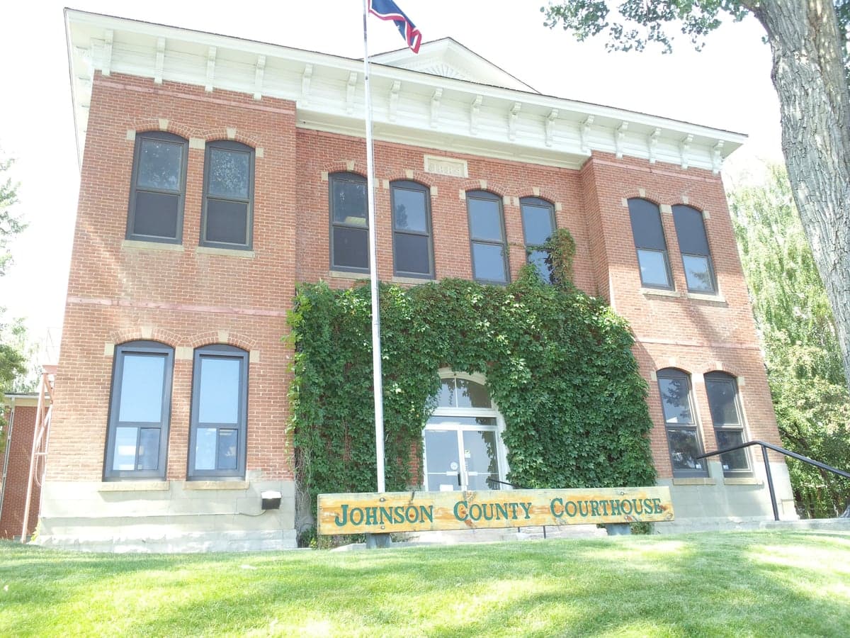
Photo: Wikipedia
Strategic Assessment of Johnson County
Deep buffer from population centers and strategic targets. Low natural disaster risk and minimal exposure to border or coastal threats.
What does the Strategic Assessment tell us?
Our Strategic Assessment grades tactical survivability of an area. Major population centers, military targets, fallout zones, natural disasters, and border exposure all drive risk — lower exposure means a more defensible position in a crisis.
This is heavily inspired by Joel Skousen's Strategic Relocation book. Highly recommended you checkout the book ($)What does this tell us?
Our Strategic Assessment grades tactical survivability of an area. Major population centers, military targets, fallout zones, natural disasters, and border exposure all drive risk — lower exposure means a more defensible position in a crisis.
This is heavily inspired by Joel Skousen's Strategic Relocation book. Highly recommended you checkout the book ($)Strategic Pillars

Key Distances
Strategic Assessment Analysis
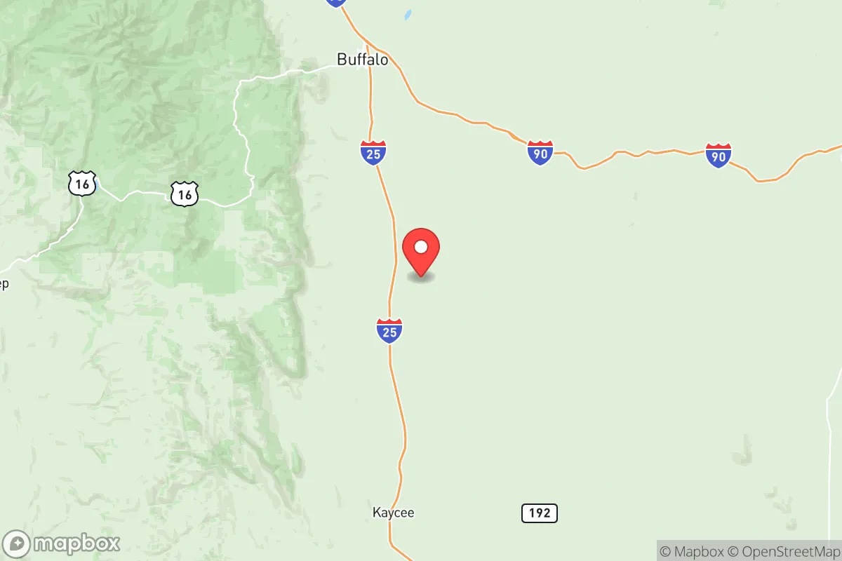
Johnson County, Wyoming, offers a compelling strategic profile for relocators prioritizing resilience and self-sufficiency, anchored by its remote location in the foothills of the Big Horn Mountains and its distance from major metropolitan vulnerabilities. The county seat, Buffalo, and the smaller town of Kaycee sit roughly 60 miles south of Interstate 90 and 120 miles north of Casper, placing them well outside the immediate fallout zones of major population centers like Denver or Salt Lake City. This geographic buffer, combined with a low population density of roughly 8,000 residents across 4,166 square miles, provides a foundational advantage for those assessing long-term stability and disaster preparedness.
Geographic position and natural advantages for long-term stability
Johnson County’s location leverages the natural fortress of the Big Horn Mountains to the west, which rise to over 13,000 feet, creating a rain shadow that moderates the semi-arid climate and provides a reliable snowpack for water resources. The area sits atop the Powder River Basin, one of the nation’s most significant coal and natural gas reserves, with active extraction near the town of Kaycee. This energy abundance means local power generation is less dependent on fragile interstate grids. The county’s eastern boundary follows the Powder River, a perennial water source that supports irrigation and livestock, while the Clear Creek and Crazy Woman Creek watersheds drain directly from the mountains into the region. For a relocator, this means defensible terrain with multiple natural water sources, a moderate wildfire risk (lower than the Front Range of Colorado), and minimal exposure to hurricanes, earthquakes, or tsunamis. The nearest major military installation is F.E. Warren Air Force Base in Cheyenne, roughly 200 miles southeast, which is a strategic asset but not a proximate target for ground-level fallout in Johnson County.
Risks, exposures, and proximity to fallout-relevant landmarks
While Johnson County is far from the highest-risk zones, it is not immune to man-made and natural threats. The Powder River Basin’s energy infrastructure—including coal-fired power plants near Gillette (50 miles north) and natural gas processing facilities—could be secondary targets in a conflict, though the county’s low population density reduces the likelihood of direct strikes. The nearest major refinery is the Sinclair Refinery in Rawlins, roughly 150 miles southwest, and the closest port is the Port of Seattle, over 800 miles away, making Johnson County irrelevant to coastal disruption scenarios. However, the county lies within the Wyoming uranium mining region, with historical mining sites near Kaycee and the Pumpkin Buttes area; while no active mines operate today, residual contamination from past operations is a minor environmental consideration. Natural risks include severe winter storms, which can isolate Buffalo and Kaycee for days, and a moderate risk of tornadoes (typically EF0-EF2) in the eastern plains. The county’s proximity to the Bighorn National Forest also introduces a wildfire risk, though the area’s sparse tree cover in the lower elevations limits catastrophic fire spread. For a relocator, the primary exposure is economic isolation—the nearest major hospital is in Sheridan (30 miles north), and the closest trauma center is in Billings, Montana (120 miles north).
Practical resilience for a relocator: food, water, energy, and defensibility
Johnson County’s practical resilience is strong for those willing to invest in off-grid infrastructure. The county’s agricultural base—primarily cattle ranching and hay production—means local food sources are available, with the Buffalo Farmers Market operating seasonally and several ranches offering direct-to-consumer beef. The Powder River and Clear Creek provide reliable surface water, and groundwater wells are common in rural areas, with depths averaging 100-300 feet. For energy, the county’s position in the Powder River Basin means natural gas is abundant and affordable, and solar potential is high (over 300 sunny days per year), though winter snow cover can reduce panel efficiency. The terrain offers natural defensibility: the Big Horn Mountains provide a western barrier, while the open plains to the east allow for long-range visibility. The county’s low population density means that a relocator can secure acreage with minimal neighbor proximity, and the local culture of self-reliance—rooted in ranching and energy extraction—means that skills like welding, water management, and livestock care are common. The county’s emergency services include the Johnson County Sheriff’s Office and volunteer fire departments, but response times in remote areas can exceed 30 minutes. For a relocator, the key is to establish a property with a well, solar or propane backup, and a defensible perimeter—ideally near a perennial stream like Crazy Woman Creek or the Powder River.
Overall, Johnson County presents a balanced strategic picture for the disaster-ready relocator: it offers genuine geographic isolation, abundant natural resources, and a culture of self-sufficiency, but requires proactive investment in infrastructure and a tolerance for harsh winters and economic isolation. The area’s distance from major fallout targets—over 200 miles from any nuclear-capable military base or major city—makes it a low-priority zone in a conflict scenario, while its energy and water resources provide a foundation for long-term stability. For a family or individual willing to adapt to a rural, high-altitude lifestyle, Johnson County is a solid choice, but it is not a turnkey solution—it demands preparation, community integration, and a realistic understanding of the trade-offs between security and convenience.

* Values derived from national, state, county, city and local statistics and may differ in a specific area. Last updated: 2026-07-12T21:35:52.000Z
Narrative content on this page is AI-generated and may contain mistakes. Verify any details that matter before acting on them.
ReloMaps may earn a commission from affiliate links at no extra cost to you.

