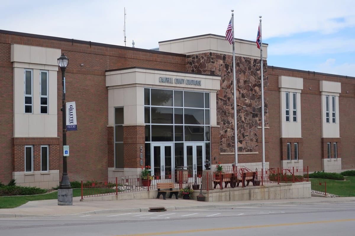
Photo: Wikipedia
Strategic Assessment of Campbell County
Strong survivability profile. Good buffer from population centers, with manageable environmental and tactical risks.
What does the Strategic Assessment tell us?
Our Strategic Assessment grades tactical survivability of an area. Major population centers, military targets, fallout zones, natural disasters, and border exposure all drive risk — lower exposure means a more defensible position in a crisis.
This is heavily inspired by Joel Skousen's Strategic Relocation book. Highly recommended you checkout the book ($)What does this tell us?
Our Strategic Assessment grades tactical survivability of an area. Major population centers, military targets, fallout zones, natural disasters, and border exposure all drive risk — lower exposure means a more defensible position in a crisis.
This is heavily inspired by Joel Skousen's Strategic Relocation book. Highly recommended you checkout the book ($)Strategic Pillars

Key Distances
Strategic Assessment Analysis
Campbell County, Wyoming, anchored by the city of Gillette, offers a strategic resilience profile that is rare in the continental United States: deep energy independence, low population density, and geographic isolation from major metropolitan targets. Its position in the Powder River Basin places it at the heart of the nation’s coal, oil, and natural gas production, which provides both economic stability and a built-in energy security buffer. For a relocator prioritizing self-sufficiency and disaster readiness, this area presents a compelling mix of natural resource abundance and physical remoteness, though it is not without its own exposures.
Geographic position and natural advantages for self-sufficiency
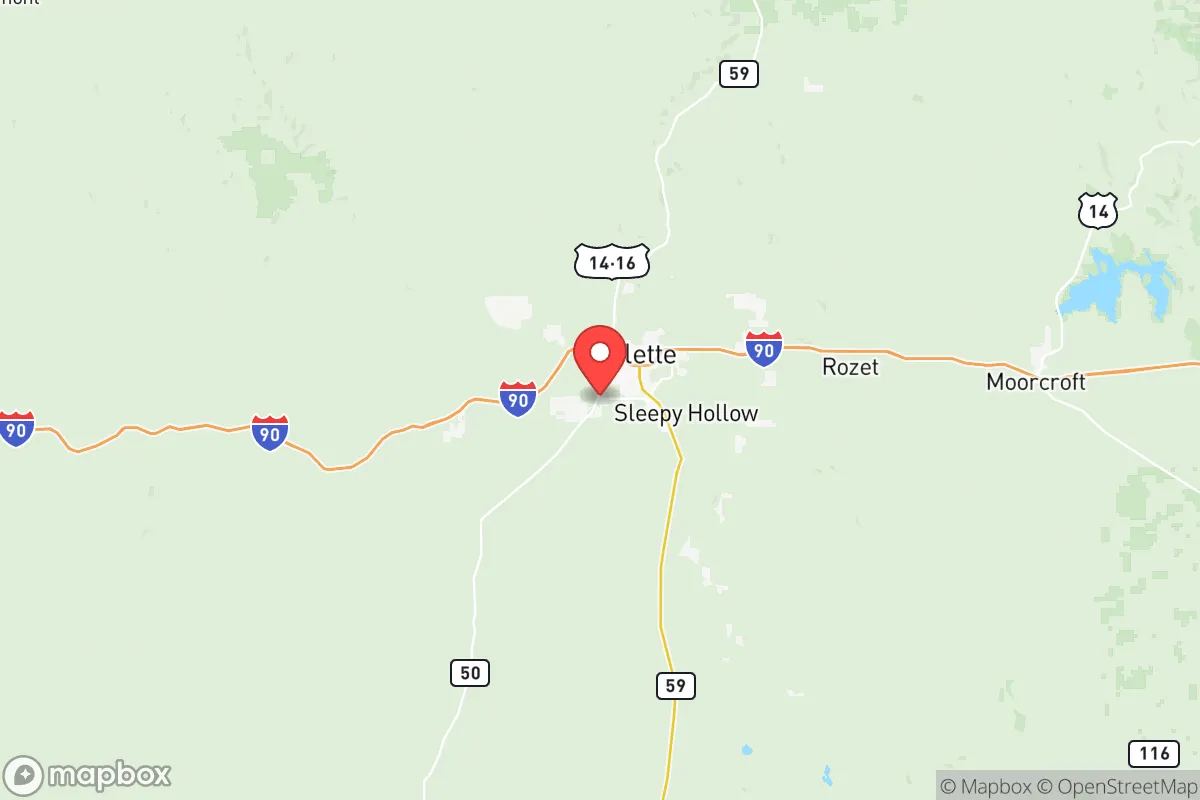
Campbell County sits in northeastern Wyoming, roughly 250 miles from the nearest major population centers—Denver to the south and Billings, Montana to the north. This distance is a deliberate advantage: the county is far removed from the fallout-relevant landmarks of the Front Range urban corridor, the Cheyenne Mountain complex, or the Minot Air Force Base in North Dakota. The terrain is high plains and rolling hills, with an average elevation above 4,500 feet, offering broad sightlines and natural defensibility. The county’s sparse road network—dominated by Interstate 90 and a handful of state highways—means that any large-scale movement into or out of the area is funneled through a few chokepoints, a feature that can be leveraged for security. The nearby Thunder Basin National Grassland provides a vast, undeveloped buffer zone to the east, while the Black Hills of South Dakota lie roughly 100 miles to the east-northeast, offering a secondary fallback area. Critically, Campbell County is not situated near any major military bases, nuclear power plants, or strategic missile fields, reducing its likelihood of being a primary or secondary target in a conflict scenario. The closest significant military installation is Francis E. Warren Air Force Base near Cheyenne, over 200 miles south, which is far enough to avoid direct blast effects but close enough to warrant awareness of potential fallout patterns from a strike on that facility.
Risks, exposures, and proximity to fallout-relevant landmarks
While Campbell County’s isolation is a strength, it is not immune to risks. The primary man-made exposure comes from its own energy infrastructure. The county is home to the Dry Fork Station and Wyodak coal-fired power plants, as well as numerous coal mines and natural gas processing facilities. A catastrophic failure or targeted attack on these sites could create localized hazards, though they are not the kind of high-value strategic targets that would draw a first strike. The nearest truly high-value target is the Rapid City Regional Airport and the associated Ellsworth Air Force Base in South Dakota, about 120 miles northeast—close enough that a ground burst at Ellsworth could produce fallout reaching Campbell County under certain wind conditions. Similarly, the Belle Fourche pipeline hub in South Dakota, a major crude oil gathering point, sits roughly 100 miles north. Natural risks are more immediate: the area experiences severe winter storms, blizzards, and occasional drought. Tornadoes are possible but less frequent than in the Great Plains proper. The county’s reliance on groundwater and surface water from the Belle Fourche River and Keyhole Reservoir means that a prolonged drought or contamination event could stress local water supplies. Wildfire risk is moderate, with the greatest danger in the grasslands and pine forests to the east during dry summers.
Practical resilience for a relocator: food, water, energy, and defensibility
For a relocator focused on practical resilience, Campbell County’s energy profile is its standout feature. The county produces more coal than any other in the nation, and natural gas extraction is widespread. This means that heating fuel and electricity generation are locally sourced, reducing vulnerability to grid failures or supply chain disruptions. Many rural properties already use propane or natural gas for heating, and solar potential is excellent given the region’s 260+ sunny days per year. Water is a more complex variable. The county sits over the Madison and Minnelusa aquifers, which provide reliable groundwater, but well depths can exceed 500 feet in some areas. Surface water is limited to the Belle Fourche River and a few reservoirs like Keyhole State Park, which is a primary recreational water source. For a family, securing a property with a permitted well and adequate storage—such as a 1,000-gallon cistern—is a prudent step. Food resilience is moderate: the growing season is short (roughly 120 days), limiting traditional agriculture to cold-hardy crops like potatoes, carrots, and hay. Livestock grazing is common, and local ranchers produce beef and lamb, which can be sourced directly. The county has a handful of small-scale farmers’ markets and co-ops, but year-round food independence would require greenhouse infrastructure or significant storage of shelf-stable goods. Defensibility is strong due to low population density—roughly 12 people per square mile—and the prevalence of rural properties with long sightlines and limited access points. The county seat, Gillette, has a population of about 33,000 and serves as the regional hub for supplies, medical care, and logistics, but its density makes it less ideal for long-term self-sufficiency than the outlying areas. Smaller communities like Wright and Moorcroft offer even lower profiles and easier access to open land.
Overall, Campbell County presents a balanced strategic picture for the disaster-conscious relocator. Its energy abundance, geographic isolation, and low target value are significant assets, while its water limitations and harsh winters require serious preparation. The area is not a prepper’s fantasy—it is a working landscape with real infrastructure and real constraints—but for someone willing to invest in well drilling, greenhouse construction, and winter-ready housing, it offers one of the more defensible and resource-secure environments in the lower 48. The key trade-off is between the security of remoteness and the practical challenges of a semi-arid, high-elevation climate. For a family or individual who can manage those challenges, Campbell County is a strong candidate for long-term resilience.

* Values derived from national, state, county, city and local statistics and may differ in a specific area. Last updated: 2026-06-28T11:44:25.000Z
Narrative content on this page is AI-generated and may contain mistakes. Verify any details that matter before acting on them.
ReloMaps may earn a commission from affiliate links at no extra cost to you.

