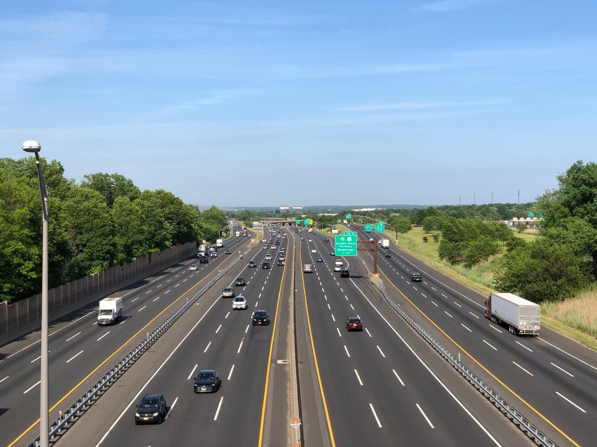
Photo: Wikipedia
Strategic Assessment of Woodbridge Township, NJ
High tactical risk. This location is likely close to major population centers, strategic targets, or sits in a high-disaster corridor. A retreat property and careful exit planning is required.
What does the Strategic Assessment tell us?
Our Strategic Assessment grades tactical survivability of an area. Major population centers, military targets, fallout zones, natural disasters, and border exposure all drive risk — lower exposure means a more defensible position in a crisis.
This is heavily inspired by Joel Skousen's Strategic Relocation book. Highly recommended you checkout the book ($)What does this tell us?
Our Strategic Assessment grades tactical survivability of an area. Major population centers, military targets, fallout zones, natural disasters, and border exposure all drive risk — lower exposure means a more defensible position in a crisis.
This is heavily inspired by Joel Skousen's Strategic Relocation book. Highly recommended you checkout the book ($)Strategic Pillars

Key Distances
Regional Safe Places
Below is our recommended "safe zones" in New Jersey and the surrounding area based on our strategic heuristics. For most people, it's unrealistic to live in a “safe zone” full-time due to work, family or other personal reasons. They tend to be more rural. However, many of these areas are perfect for second homes and retreat properties that double as a vacation home or even a short-term rental.




Important Note: For informational purposes only. This does not mean nothing bad ever happens in the green zones. Please use common sense. This is based on public data and modeled with AI. We tried to take a conservative approach but mistakes happen. We update this regularly as new information becomes available.
Solar Generator Recommendations
Backup power matters more here than in safer locations. We've picked three solar generators across budgets and capacity tiers — start with the budget unit if you only need a few essentials, or step up if you want to run a fridge and HVAC for days at a time.

Jackery Portable Power Station Explorer 300
Budget OptionPower on the Go: Weighing only 11 lbs, it's convenient to set up and store with book-sized foldable solar panels

BLUETTI Portable Power Station AC180
Designed for both indoor and outdoor scenarios, AC180 is highly capable as it has a robost capacity and continuous output power.

EF ECOFLOW DELTA Pro Ultra Power Station
Upgraded PickEcoFlow DELTA Pro Ultra is a whole-home energy system designed to grow with your family. Integrated with the Smart Home Panel 2, it scales to meet your evolving energy needs — keeping your home powered, intelligent, and secure through every stage of life.
We earn a commission, at no additional cost to you.
Strategic Assessment Analysis
Woodbridge Township, New Jersey, presents a mixed strategic picture for the relocation-minded reader focused on resilience and self-sufficiency. Its primary advantage is its location within the dense, resource-rich New York metropolitan area, offering unparalleled access to supply chains, specialized services, and a massive labor pool. However, this same proximity to a primary national target—New York City—and the dense infrastructure of the Northeast Corridor introduces significant, non-negotiable risks that a serious preparedness-minded individual must weigh carefully. Woodbridge is not a retreat; it is a forward operating base with both distinct logistical strengths and acute vulnerabilities.
Geographic position and natural advantages for a strategic relocation
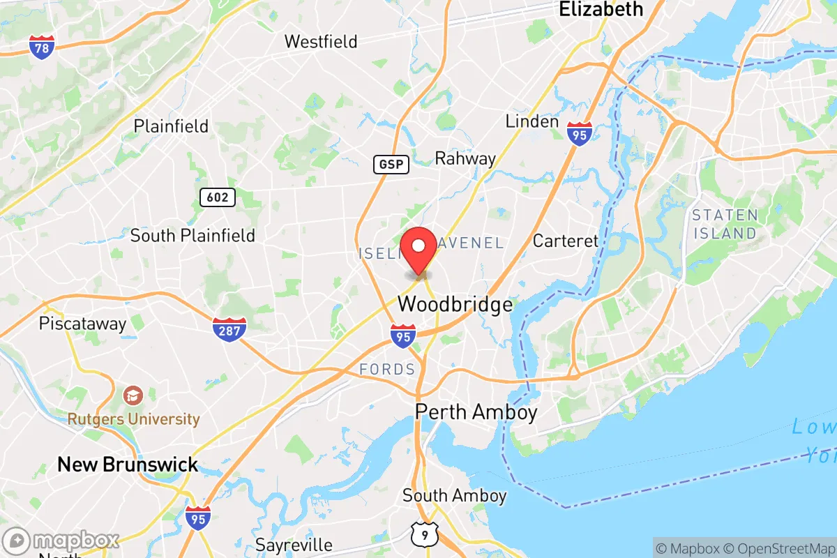
Woodbridge’s geography is defined by its position on the Arthur Kill tidal strait, directly across from Staten Island, and its location roughly midway between New York City and Philadelphia. This places it at the heart of the region’s transportation network, with direct access to the New Jersey Turnpike (I-95), the Garden State Parkway, and NJ Transit’s Northeast Corridor rail line. For a relocator, this means exceptional logistical connectivity—supplies, equipment, and skilled labor can be moved in and out rapidly. The township itself is relatively flat and low-lying, with the Raritan River forming its northern boundary and the Arthur Kill its eastern edge. This water access is a double-edged sword: it provides a potential water source and a natural barrier to the east, but it also defines the area’s primary natural risk. The region’s temperate climate supports a long growing season, and the surrounding suburban and exurban areas of Middlesex and Union counties contain significant tracts of farmland and open space, offering some potential for local food sourcing. The area’s geology is stable, with no significant seismic or volcanic threats, and the local water table is generally high, making well water a viable option for those with the means to drill.
Risks, exposures, and proximity to fallout-relevant landmarks
The most significant risk for a Woodbridge relocator is its proximity to high-value, high-risk targets. The township lies within 20 miles of Newark Liberty International Airport, the Port Newark-Elizabeth Marine Terminal (the busiest container port on the East Coast), and the sprawling petrochemical and refining complex along the Arthur Kill and Raritan Bay. These are not just economic assets; they are primary targets for any state-level adversary. A conventional or non-conventional strike on the port or the refineries would produce immediate, catastrophic effects—fire, toxic plumes, and infrastructure collapse—that would directly impact Woodbridge. Furthermore, the township is directly under the approach path to Newark Airport and sits astride the Northeast Corridor rail line, a critical piece of national infrastructure. In a crisis, this area would be a focal point for evacuation, military movement, and potential secondary attacks. The natural risk profile is dominated by storm surge and flooding. Woodbridge is classified as a high-risk area for hurricane and nor’easter storm surge, with much of its eastern and northern sections—particularly the waterfront communities of Sewaren, Port Reading, and the areas along the Raritan River—lying in FEMA-designated Special Flood Hazard Areas. Superstorm Sandy in 2012 caused extensive damage here, and the risk is increasing with sea-level rise. The township’s dense suburban development pattern also creates a significant urban heat island effect and limits natural water absorption, exacerbating flash flooding during heavy rain events.
Practical resilience for a relocator: food, water, energy, and defensibility
For a relocator serious about self-sufficiency, Woodbridge offers a mixed bag. Food security is a relative strength due to the area’s dense network of supermarkets, wholesale clubs (Costco, BJ’s), and direct access to the Port Newark food import hub. However, this is a just-in-time system; a disruption of more than a few days would empty shelves rapidly. Local agriculture is present but not dominant—community gardens and small farms exist, but the township is largely built out. A serious gardener could produce a meaningful supplement, but not full subsistence. Water security is more concerning. Woodbridge’s municipal water comes from the Middlesex Water Company, which draws from the Raritan River and groundwater wells. This system is vulnerable to contamination from upstream industrial activity, saltwater intrusion during storm surges, and power outages. A private well is possible in some areas but requires significant investment and is subject to the same groundwater contamination risks. Energy resilience is a major vulnerability. The grid is old, above-ground, and heavily tree-lined. Power outages are common during storms, and restoration can take days. Solar with battery backup is a viable option, but the area’s tree cover can limit solar gain. Natural gas is the primary heating fuel, and the pipeline network is extensive but also a potential target. Defensibility is the weakest point. Woodbridge is a dense, suburban township of over 100,000 people with a complex road network and no natural chokepoints. It is not defensible in any meaningful sense. In a prolonged crisis, the population density and reliance on external supply chains would create severe challenges. The best strategy for a relocator here is not to hunker down, but to use Woodbridge as a logistics hub and staging area—a place to stockpile, network, and prepare for a potential move to a more defensible secondary location further inland or in the Appalachian foothills.
The overall strategic picture for Woodbridge Township is one of high utility paired with high vulnerability. It is an excellent location for a relocator who wants to maintain a professional career in the New York metro area while building a serious preparedness capability. The access to resources, services, and transportation is unmatched. However, the risks from man-made threats (proximity to major targets) and natural hazards (flooding, storm surge) are real and non-negotiable. A serious relocator should treat Woodbridge as a forward operating base, not a final redoubt. The smart play is to invest in robust backup systems (solar, battery, water storage, a well), maintain a low profile, and have a clear, practiced evacuation plan for a secondary location. For the single individual or family willing to accept the trade-offs, Woodbridge offers a unique blend of urban access and suburban space that can be leveraged for a high level of practical resilience—but only with eyes wide open to the risks.

* Values derived from national, state, county, city and local statistics and may differ in a specific area. Last updated: 2026-09-20T22:03:36.000Z
Narrative content on this page is AI-generated and may contain mistakes. Verify any details that matter before acting on them.
ReloMaps may earn a commission from affiliate links at no extra cost to you.

