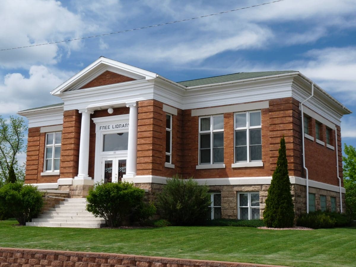
Photo: Wikipedia
Strategic Assessment of Rusk County
Strong survivability profile. Good buffer from population centers, with manageable environmental and tactical risks.
What does the Strategic Assessment tell us?
Our Strategic Assessment grades tactical survivability of an area. Major population centers, military targets, fallout zones, natural disasters, and border exposure all drive risk — lower exposure means a more defensible position in a crisis.
This is heavily inspired by Joel Skousen's Strategic Relocation book. Highly recommended you checkout the book ($)What does this tell us?
Our Strategic Assessment grades tactical survivability of an area. Major population centers, military targets, fallout zones, natural disasters, and border exposure all drive risk — lower exposure means a more defensible position in a crisis.
This is heavily inspired by Joel Skousen's Strategic Relocation book. Highly recommended you checkout the book ($)Strategic Pillars

Key Distances
Strategic Assessment Analysis
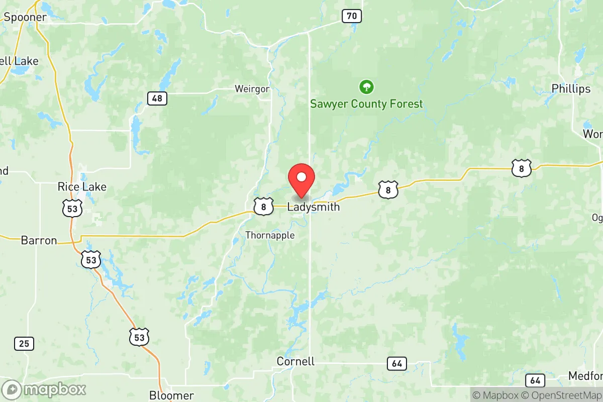
Rusk County, Wisconsin, offers a strategic relocation option for those prioritizing resilience and self-sufficiency, combining a low population density with a location that is far removed from major metropolitan targets. Situated in the northwest part of the state, the county’s seat, Ladysmith, sits roughly 80 miles northeast of Eau Claire and over 200 miles from the Minneapolis-St. Paul metro area, placing it well outside the primary blast and fallout zones of any high-value target in the Upper Midwest. The area’s economic history—rooted in logging, dairy farming, and light manufacturing—has left a legacy of dispersed small towns like Bruce, Hawkins, and Tony, each with basic infrastructure but no single concentration of value that would draw strategic attention. This combination of geographic isolation and low profile makes Rusk County a defensible, low-signature location for a relocator seeking to avoid the cascading failures of urban and suburban collapse.
Geographic position and natural advantages for long-term stability
Rusk County’s position within the Chippewa River watershed provides a significant natural advantage for water security, with the Flambeau River and the Jump River cutting through the county and offering reliable surface water sources. The county sits on the edge of the Northwoods, a transition zone between the agricultural plains to the south and the dense forests of the north, meaning residents have access to both farmland and timber resources. The terrain is gently rolling, with elevations around 1,200 feet, which reduces flood risk compared to river-bottom communities while still providing ample groundwater recharge. The county’s proximity to the Chequamegon-Nicolet National Forest to the north offers a vast, low-population buffer zone—over 1.5 million acres of public land that can serve as a resource corridor for hunting, foraging, and timber. For a relocator, this means the area is not dependent on a single water source or agricultural zone; multiple rivers, lakes, and wetlands create redundancy in the local water supply, a critical factor for long-term resilience.
Risks, exposures, and proximity to fallout-relevant landmarks
Rusk County’s primary risk exposure is not from direct attack but from secondary effects: the county lies roughly 150 miles from the Twin Cities, a major population and industrial center that would be a high-priority target in a conflict scenario. Fallout patterns from a Minneapolis strike would depend on wind direction, but prevailing westerlies mean Rusk County is more likely to receive contamination than areas directly east of the city. The county also sits about 200 miles from the Duluth-Superior port complex, which includes oil refineries and grain terminals that could be secondary targets. Within the county itself, there are no nuclear power plants, major military bases, or large industrial facilities—the closest significant infrastructure is the Xcel Energy coal plant in Ashland, 60 miles north, and the Chippewa Falls hydroelectric dams, 50 miles south. The most realistic man-made risk is a transportation accident on the BNSF railway that runs through Ladysmith, which carries crude oil and ethanol from the Bakken fields; a derailment could cause localized contamination or fire, but the low population density means evacuation routes are straightforward. For a relocator, the key takeaway is that Rusk County is not a primary target, but it is within the fallout shadow of the Twin Cities—a risk that can be mitigated by stockpiling potassium iodide, maintaining a weather radio, and having a basement shelter plan.
Practical resilience for a relocator: food, water, energy, and defensibility
Rusk County’s practical resilience is strong, particularly in water and energy, but requires deliberate effort in food production and community integration. The county’s groundwater is generally high-quality, with the Cambrian sandstone aquifer providing consistent yields at depths of 50–150 feet; most rural properties have private wells, and the county’s well-drilling regulations are minimal, making it feasible to establish independent water access. Surface water from the Flambeau and Jump Rivers is abundant, but treatment is necessary—boiling or filtration is standard practice even in normal times due to agricultural runoff. For energy, the county is served by Xcel Energy and several rural electric cooperatives, but grid reliability is moderate; winter storms frequently cause outages lasting 12–48 hours. Solar potential is adequate but not exceptional—the area averages about 4.2 peak sun hours per day, enough for a modest off-grid system with battery storage, but winter cloud cover can reduce output significantly. Wood heating is the most practical backup, with hardwood forests covering over 60% of the county; a cord of seasoned oak or maple costs $200–$300 delivered, and many properties have existing wood stoves. Food resilience is the weakest link: the county’s growing season is short (120–140 days), and the soil is sandy and acidic, requiring amendment for vegetable production. Local agriculture is dominated by dairy and beef cattle, with some hay and corn for silage; a relocator would need to invest in raised beds, greenhouses, or hoop houses to achieve meaningful food independence. Defensibility is excellent due to the low population density (about 14 people per square mile) and the abundance of natural chokepoints—the many rivers, creeks, and forest roads create a landscape where a small group can monitor approaches effectively. The county’s small towns are generally welcoming but insular; building trust with neighbors is essential for long-term security, as mutual aid networks are the primary social safety net in a crisis.
Overall, Rusk County presents a balanced strategic picture for the resilience-minded relocator: it offers strong natural advantages in water and defensibility, moderate risks from distant fallout and grid fragility, and requires significant investment in food production and community integration. The area is not a prepper’s paradise—winters are harsh, the growing season is short, and the local economy is limited—but for someone willing to put in the work, it provides a low-signature, low-target location with the space and resources to build a self-sufficient homestead. The key is to treat Rusk County as a base for long-term resilience rather than a bug-out location; the infrastructure is too sparse for a quick retreat, but the land and community can sustain a prepared family indefinitely. For those serious about disaster readiness, Ladysmith and its surrounding towns offer a realistic, grounded option that avoids the hype of more famous relocation destinations while delivering the fundamentals of survival.

* Values derived from national, state, county, city and local statistics and may differ in a specific area. Last updated: 2026-09-15T00:10:32.000Z
Narrative content on this page is AI-generated and may contain mistakes. Verify any details that matter before acting on them.
ReloMaps may earn a commission from affiliate links at no extra cost to you.

