
Photo: Wikipedia
Strategic Assessment of Milwaukee County
Multiple tactical vulnerabilities. Population density, target proximity, or disaster risk are likely compounding. A retreat property and exit planning is required.
What does the Strategic Assessment tell us?
Our Strategic Assessment grades tactical survivability of an area. Major population centers, military targets, fallout zones, natural disasters, and border exposure all drive risk — lower exposure means a more defensible position in a crisis.
This is heavily inspired by Joel Skousen's Strategic Relocation book. Highly recommended you checkout the book ($)What does this tell us?
Our Strategic Assessment grades tactical survivability of an area. Major population centers, military targets, fallout zones, natural disasters, and border exposure all drive risk — lower exposure means a more defensible position in a crisis.
This is heavily inspired by Joel Skousen's Strategic Relocation book. Highly recommended you checkout the book ($)Strategic Pillars

Key Distances
Strategic Assessment Analysis
Milwaukee County, Wisconsin, presents a mixed strategic picture for the relocation-minded reader focused on resilience and self-sufficiency. Its position on the western shore of Lake Michigan offers a massive freshwater advantage, but its dense urban core and proximity to critical infrastructure create distinct vulnerabilities that require careful consideration. For a conservative-leaning individual or family weighing disaster readiness, Milwaukee County offers a blend of natural resource security and man-made risk that demands a clear-eyed assessment of trade-offs.
Geographic position and natural advantages for long-term resilience
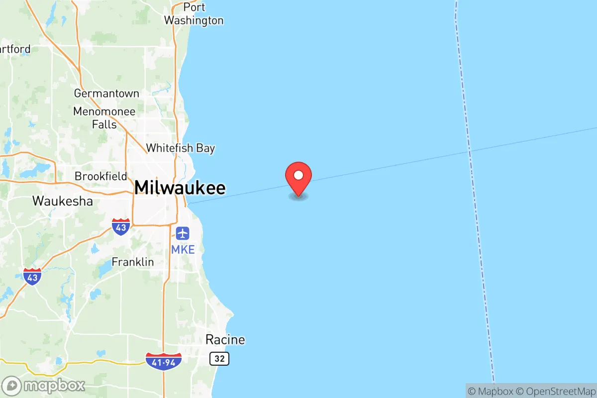
Milwaukee County’s most significant strategic asset is its direct access to Lake Michigan, one of the world’s largest freshwater bodies. This single feature provides a virtually unlimited, naturally filtered water source that is not dependent on groundwater aquifers or municipal treatment plants—a critical advantage in prolonged grid-down or drought scenarios. The county sits at the confluence of three major rivers—the Milwaukee, Menomonee, and Kinnickinnic—which drain into the lake, offering additional surface water options. The region’s climate is temperate, with four distinct seasons, and while winters can be harsh, the growing season (roughly 150 days) is sufficient for cold-hardy crops like potatoes, kale, and root vegetables. The surrounding landscape is a mix of urban development, suburban neighborhoods, and agricultural land in adjacent counties like Waukesha and Washington, meaning a relocator with property in the outer ring of Milwaukee County—such as in Franklin or Oak Creek—can access both lake water and arable soil within a short drive. The county’s position roughly 90 miles north of Chicago places it outside the immediate blast radius of a major metropolitan target, but still within a day’s travel of critical supply chains and medical infrastructure if needed.
Risks, exposures, and proximity to fallout-relevant landmarks
The primary strategic downside of Milwaukee County is its density and concentration of high-value targets. The county is home to over 900,000 people, with the city of Milwaukee itself containing roughly 570,000 residents. This population density creates significant challenges for evacuation, resource distribution, and social stability during a crisis. More critically, the county contains several infrastructure nodes that could become fallout-relevant in a conflict or major disaster. General Mitchell International Airport in Milwaukee is a major cargo and passenger hub, and its proximity to residential areas in Milwaukee and Cudahy makes it a potential target. The Port of Milwaukee, located on the lakefront, handles bulk cargo, grain, and petroleum products, and is a chokepoint for regional fuel distribution. Additionally, the We Energies Valley Power Plant in downtown Milwaukee is a coal-fired facility that, while not nuclear, represents a large industrial complex that could be a secondary target or a source of hazardous material release. The county also sits within 100 miles of the Zion Nuclear Power Station (decommissioned but still storing spent fuel) in Illinois, and the Point Beach Nuclear Plant in Two Rivers, Wisconsin, about 80 miles north. While these are not within the county, their presence means a relocator should understand regional fallout patterns and prevailing winds, which generally blow from the west. Natural risks are comparatively low: the area experiences occasional tornadoes, lake-effect snow, and flooding along the rivers, but no earthquakes, hurricanes, or wildfires of significant scale. The most realistic day-to-day threat is a prolonged winter storm that could knock out power for days, which is a manageable risk with proper preparation.
Practical resilience for a relocator: food, water, energy, and defensibility
For a relocator serious about self-sufficiency, Milwaukee County offers a mixed bag. Water security is excellent: Lake Michigan is a reliable, high-volume source, and a simple hand pump or gravity-fed filter system can provide clean water indefinitely. However, lake access is not universal—most lakefront property is developed or public parkland, so a relocator would need to secure a property with direct access or a legal easement. Food production is feasible but requires effort. The county has several community gardens and farmers’ markets, but the urban core is a food desert in many areas. Suburban communities like Greendale and Greenfield have larger lots suitable for backyard gardens, and the nearby Kettle Moraine region offers hunting and foraging opportunities. Energy resilience is a challenge: the grid is aging and subject to outages, but solar potential is moderate (roughly 4.5 peak sun hours per day), and natural gas is widely available for heating. A relocator would benefit from a backup generator and a wood-burning stove, as winter heating is a non-negotiable. Defensibility is the weakest link. Milwaukee County is densely populated, with a high crime rate in the city proper (Milwaukee consistently ranks among the most dangerous cities in the U.S. for violent crime). Suburban and exurban areas like Franklin and Oak Creek are safer but still within easy driving distance of the urban core, meaning a collapse scenario could bring looting or refugee flows. The county is not geographically defensible—it is flat, open, and crisscrossed by highways (I-94, I-43, I-894) that make movement easy for both residents and threats. A relocator would need to prioritize a property with natural barriers (wooded lots, water features) and a strong community network for mutual defense.
The overall strategic picture for Milwaukee County is one of high resource potential offset by high population risk. The Lake Michigan water supply is a generational asset that few inland locations can match, and the county’s position in the Great Lakes region provides a buffer from the most catastrophic coastal and seismic events. However, the density of the urban core, the presence of multiple critical infrastructure targets, and the lack of natural defensibility mean that a relocator must be deliberate about location within the county. The outer-ring suburbs—Franklin, Oak Creek, Greendale—offer a better balance of access to resources and distance from the highest-risk zones. For a family willing to invest in off-grid water systems, solar backup, and a strong local network, Milwaukee County can be a viable long-term base. But for those seeking true rural isolation and minimal exposure to man-made risks, the county’s urban character will likely be a dealbreaker. The smart play is to treat Milwaukee County as a resource hub—a place to access lake water, medical care, and trade—while maintaining a primary residence in a less dense, more defensible neighboring county like Washington or Ozaukee.

* Values derived from national, state, county, city and local statistics and may differ in a specific area. Last updated: 2026-06-16T22:34:19.000Z
Narrative content on this page is AI-generated and may contain mistakes. Verify any details that matter before acting on them.
ReloMaps may earn a commission from affiliate links at no extra cost to you.

