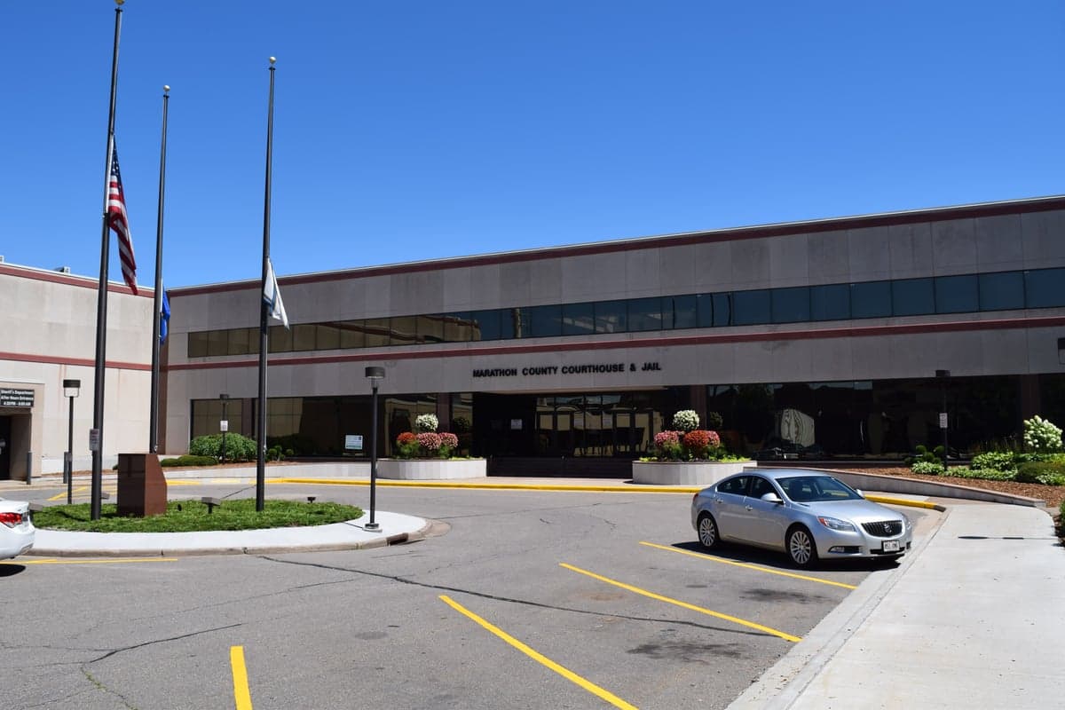
Photo: Wikipedia
Strategic Assessment of Marathon County
Workable tactical position. Some exposure to population density or targets, but generally defensible in a crisis.
What does the Strategic Assessment tell us?
Our Strategic Assessment grades tactical survivability of an area. Major population centers, military targets, fallout zones, natural disasters, and border exposure all drive risk — lower exposure means a more defensible position in a crisis.
This is heavily inspired by Joel Skousen's Strategic Relocation book. Highly recommended you checkout the book ($)What does this tell us?
Our Strategic Assessment grades tactical survivability of an area. Major population centers, military targets, fallout zones, natural disasters, and border exposure all drive risk — lower exposure means a more defensible position in a crisis.
This is heavily inspired by Joel Skousen's Strategic Relocation book. Highly recommended you checkout the book ($)Strategic Pillars

Key Distances
Strategic Assessment Analysis
Marathon County, Wisconsin, offers a compelling mix of geographic insulation and practical self-sufficiency that appeals to relocators prioritizing resilience. Its position in north-central Wisconsin places it far from major coastal targets and the dense urban corridors of the Great Lakes, while still providing access to essential infrastructure. The county’s strategic value lies in its balance of remoteness and resource availability, making it a viable option for those seeking a defensible, prepared lifestyle without complete isolation.
Geographic position and natural advantages for long-term stability
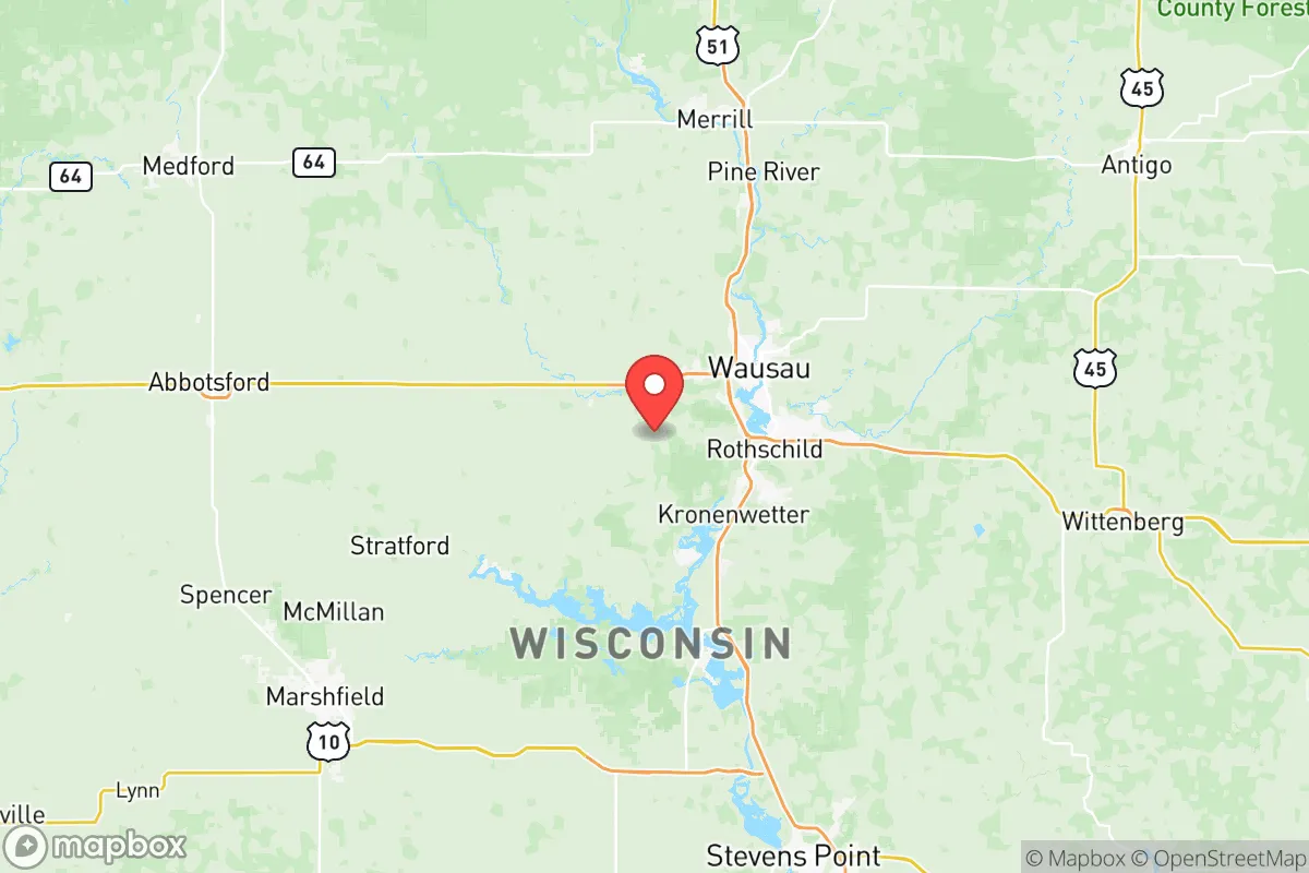
Marathon County sits roughly 150 miles northwest of Milwaukee and 180 miles northeast of Minneapolis-St. Paul, distances that buffer it from the immediate fallout zones of those major metropolitan areas. The county’s terrain is a mix of rolling hills, hardwood forests, and over 1,000 lakes, with the Wisconsin River cutting through its southern half. This topography provides natural cover and water access, with the river and its tributaries offering reliable surface water sources for off-grid scenarios. The city of Wausau, the county seat, anchors the region with a population of about 39,000, while smaller towns like Mosinee, Schofield, and Rib Mountain offer lower-density living. The presence of Rib Mountain itself—a 1,924-foot glacial remnant—provides a high-ground vantage point for communications and observation, a rare natural asset in the generally flat Upper Midwest. The county’s cold winters (average January lows near 5°F) act as a natural deterrent to unprepared populations, while the deep snowpack and frozen lakes can be managed with proper gear and planning.
Risks, exposures, and proximity to fallout-relevant landmarks
Marathon County’s primary risk exposure comes from man-made infrastructure rather than natural disasters. The county is home to the Wausau Paper Mill and several chemical storage facilities along the Wisconsin River corridor, which could pose localized contamination risks in a catastrophic event. More significantly, the county lies within 100 miles of the Point Beach Nuclear Plant in Two Rivers, Wisconsin, a single-unit pressurized water reactor that has operated since 1970. While the plant’s safety record is solid, its proximity means a worst-case release could affect the eastern edge of Marathon County, particularly areas near Mosinee and Rothschild. On the natural disaster front, the region faces occasional tornadoes (typically EF-1 or EF-2) and severe winter storms, but it lacks the earthquake, hurricane, or wildfire risks common in other parts of the country. The county’s distance from major military targets—such as Fort McCoy (about 80 miles southwest) and the Volk Field Air National Guard Base (about 70 miles south)—reduces its likelihood of being a secondary strike zone, though these installations could become logistical hubs during a crisis, drawing unwanted attention. The nearest major fallout danger is the Chicago metropolitan area, roughly 250 miles southeast, which is far enough to avoid heavy particulate deposition but close enough that prevailing westerly winds could carry lighter fallout over the county in a multi-warhead scenario.
Practical resilience for a relocator: food, water, energy, and defensibility
Marathon County’s agricultural base is a standout feature for self-sufficiency. The county is a leading producer of ginseng in the United States, with over 90% of the nation’s crop grown here, and it also supports dairy farming, cattle, and row crops like corn and soybeans. This means local food production is robust, and the Wausau Farmers Market (one of the oldest in Wisconsin) provides a direct link to growers. For water, the Wisconsin River and its tributaries—including the Eau Claire River and the Big Rib River—offer year-round surface water, while the region’s glacial aquifer provides reliable well water at depths of 50 to 150 feet. Most rural properties already rely on private wells, a key advantage for off-grid living. Energy infrastructure is mixed: the county is served by Wisconsin Public Service and Xcel Energy, with a grid that includes hydroelectric dams on the Wisconsin River (such as the Mosinee Dam and the Rothschild Dam). These dams provide a decentralized power source that could be more resilient than coal or gas plants, though they are vulnerable to sabotage or grid failure. For defensibility, the county’s low population density (about 100 people per square mile in rural areas) and forested terrain make it easier to secure a homestead. The Rib Mountain State Park area offers natural chokepoints and high ground, while the surrounding Chequamegon-Nicolet National Forest provides a buffer zone to the north. However, the county’s many secondary roads and unmarked trails could also be used by those fleeing urban areas, so relocators should prioritize properties with limited access points and good visibility.
The overall strategic picture for Marathon County is one of moderate resilience with clear trade-offs. Its geographic isolation from major targets and its strong agricultural and water resources make it a solid choice for a prepared relocator, especially compared to more exposed regions like the I-94 corridor or the Lake Michigan shoreline. The presence of the nuclear plant and industrial sites along the Wisconsin River introduces localized risks that can be mitigated by choosing a property west of Wausau or in the northern townships near Athens or Edgar. The cold climate requires serious investment in heating, food storage, and winter survival skills, but it also reduces the likelihood of mass migration from warmer areas. For a family or individual willing to put in the work—digging a well, stocking a root cellar, and learning to navigate deep snow—Marathon County offers a defensible, resource-rich base that balances remoteness with access to essential services. It is not a bug-out location for the unprepared, but a long-term settlement for those who treat resilience as a lifestyle, not a contingency.

* Values derived from national, state, county, city and local statistics and may differ in a specific area. Last updated: 2026-06-17T00:48:27.000Z
Narrative content on this page is AI-generated and may contain mistakes. Verify any details that matter before acting on them.
ReloMaps may earn a commission from affiliate links at no extra cost to you.

