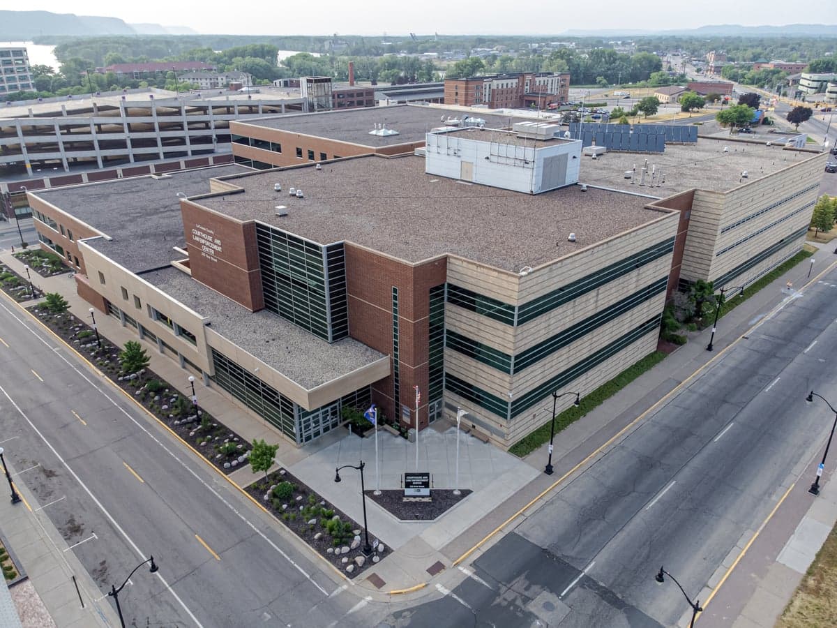
Photo: Wikipedia
Strategic Assessment of La Crosse County
Workable tactical position. Some exposure to population density or targets, but generally defensible in a crisis.
What does the Strategic Assessment tell us?
Our Strategic Assessment grades tactical survivability of an area. Major population centers, military targets, fallout zones, natural disasters, and border exposure all drive risk — lower exposure means a more defensible position in a crisis.
This is heavily inspired by Joel Skousen's Strategic Relocation book. Highly recommended you checkout the book ($)What does this tell us?
Our Strategic Assessment grades tactical survivability of an area. Major population centers, military targets, fallout zones, natural disasters, and border exposure all drive risk — lower exposure means a more defensible position in a crisis.
This is heavily inspired by Joel Skousen's Strategic Relocation book. Highly recommended you checkout the book ($)Strategic Pillars

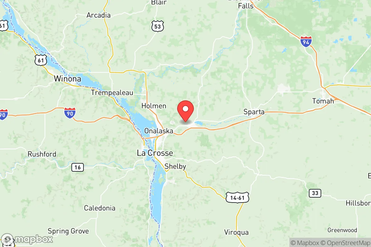
Key Distances
Strategic Assessment Analysis
La Crosse County offers a compelling blend of Midwestern stability and strategic depth for relocators prioritizing resilience and self-sufficiency. Situated along the Mississippi River in western Wisconsin, the county benefits from a diversified local economy anchored by healthcare (Mayo Clinic Health System and Gundersen Health System) and manufacturing, which provides a buffer against single-industry collapse. Its location roughly 140 miles southeast of the Twin Cities and 70 miles north of Dubuque, Iowa, places it outside the immediate blast and fallout zones of major metropolitan targets while still granting access to urban supply chains when needed. For a conservative-leaning audience assessing long-term security, the area’s combination of natural resources, defensible terrain, and moderate population density (roughly 120,000 residents county-wide) presents a balanced risk profile worth serious consideration.
Geographic position and natural advantages for long-term security
La Crosse County’s geography is defined by the Mississippi River valley and the surrounding bluffs of the Driftless Area, a region that escaped the flattening effects of the last glacial period. This topography creates a natural defensive advantage: the steep, wooded bluffs offer numerous choke points and elevated vantage points, while the river provides a reliable water source and a transportation corridor that predates modern infrastructure. The city of La Crosse itself sits on a floodplain, but the surrounding towns of Onalaska, Holmen, and West Salem occupy higher ground with good drainage and access to agricultural land. The Driftless Area’s rugged terrain also means fewer large-scale industrial farms and more small, diversified operations, which supports local food resilience. For a relocator, the ability to tap into spring-fed creeks, abundant hardwood forests for fuel, and a climate that supports three-season gardening are tangible assets that many flatter, more developed regions lack.
Risk exposure and proximity to fallout-relevant landmarks
While La Crosse County avoids the worst-case scenarios of a major metropolitan strike, it is not without exposure. The county lies within 100 miles of the Prairie Island Nuclear Generating Plant in Minnesota (about 90 miles northwest), and roughly 130 miles from the Duane Arnold Energy Center in Iowa (decommissioned but still storing spent fuel). A worst-case release from Prairie Island could place La Crosse County in a downwind contamination plume, though prevailing westerlies often push fallout eastward, which would favor the county’s position relative to the plant. More immediate concerns include the La Crosse Municipal Airport, which hosts a small Air National Guard detachment and could become a secondary target in a conflict scenario. The county also sits beneath the Mississippi River flyway for commercial barge traffic, including the transport of anhydrous ammonia and petroleum products; a major accident or sabotage on the river could disrupt water quality and supply chains for weeks. On the natural disaster front, the region faces periodic Mississippi River flooding (notably in 2019 and 2023), ice storms, and occasional tornadoes, but it is seismically stable and outside hurricane and wildfire zones. Overall, the risk profile is moderate—lower than coastal or major urban areas, but not negligible.
Practical resilience for a relocator: food, water, energy, and defensibility
For a family or individual serious about self-sufficiency, La Crosse County offers strong fundamentals. Water abundance is a standout: the Mississippi River is a massive, reliable surface water source, and the Driftless Area’s karst geology means numerous springs and shallow aquifers. However, well water in the region can be hard and may require treatment for iron and manganese, so pre-filtration planning is wise. Food production is viable, with a growing season of roughly 150 days and fertile loam soils in the river valleys. The county has a robust network of farmers’ markets, CSAs, and local meat processors, and the La Crosse County Fairgrounds in West Salem hosts regular agricultural events that can serve as networking hubs for homesteaders. Energy resilience is mixed: the grid is reliable but aging, and winter ice storms can cause multi-day outages. Solar potential is moderate (the region gets about 195 sunny days per year, below the national average), but wood heating is highly practical given the abundant forest cover. The county also hosts the French Island Generating Station, a natural gas plant that provides local grid stability. For defensibility, the bluff country offers natural redoubts, and the county’s relatively low crime rate (violent crime is roughly half the national average) suggests a stable social fabric. The presence of the University of Wisconsin-La Crosse and Viterbo University means a skilled, educated population that could be an asset in community organizing, but also a potential liability if social cohesion fractures under stress. The key weakness is the county’s reliance on the I-90 corridor for supply chains; a major disruption on that highway would isolate the area from external resupply, making local stockpiling and community barter networks essential.
The strategic picture for La Crosse County is one of moderate-high resilience with clear, manageable trade-offs. It offers a rare combination of defensible terrain, abundant fresh water, and agricultural viability that few Upper Midwest counties can match, all while staying outside the high-risk blast and fallout zones of major cities like Chicago, Minneapolis, or Milwaukee. The primary vulnerabilities—proximity to a nuclear plant, river-borne hazardous materials, and a single-thread highway supply line—are real but can be mitigated with planning, such as maintaining a well-stocked pantry, investing in off-grid water filtration, and building relationships with local farmers and tradespeople. For a conservative-leaning relocator who values community, self-reliance, and a slower pace of life, La Crosse County represents a solid, defensible choice—not a bunker, but a well-positioned base camp for an uncertain future.

* Values derived from national, state, county, city and local statistics and may differ in a specific area. Last updated: 2026-07-12T00:21:09.000Z
Narrative content on this page is AI-generated and may contain mistakes. Verify any details that matter before acting on them.
ReloMaps may earn a commission from affiliate links at no extra cost to you.

