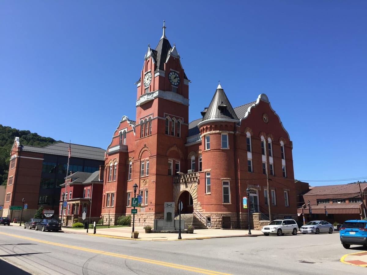
Photo: Wikipedia
Strategic Assessment of Tucker County
Workable tactical position. Some exposure to population density or targets, but generally defensible in a crisis.
What does the Strategic Assessment tell us?
Our Strategic Assessment grades tactical survivability of an area. Major population centers, military targets, fallout zones, natural disasters, and border exposure all drive risk — lower exposure means a more defensible position in a crisis.
This is heavily inspired by Joel Skousen's Strategic Relocation book. Highly recommended you checkout the book ($)What does this tell us?
Our Strategic Assessment grades tactical survivability of an area. Major population centers, military targets, fallout zones, natural disasters, and border exposure all drive risk — lower exposure means a more defensible position in a crisis.
This is heavily inspired by Joel Skousen's Strategic Relocation book. Highly recommended you checkout the book ($)Strategic Pillars

Key Distances
Strategic Assessment Analysis
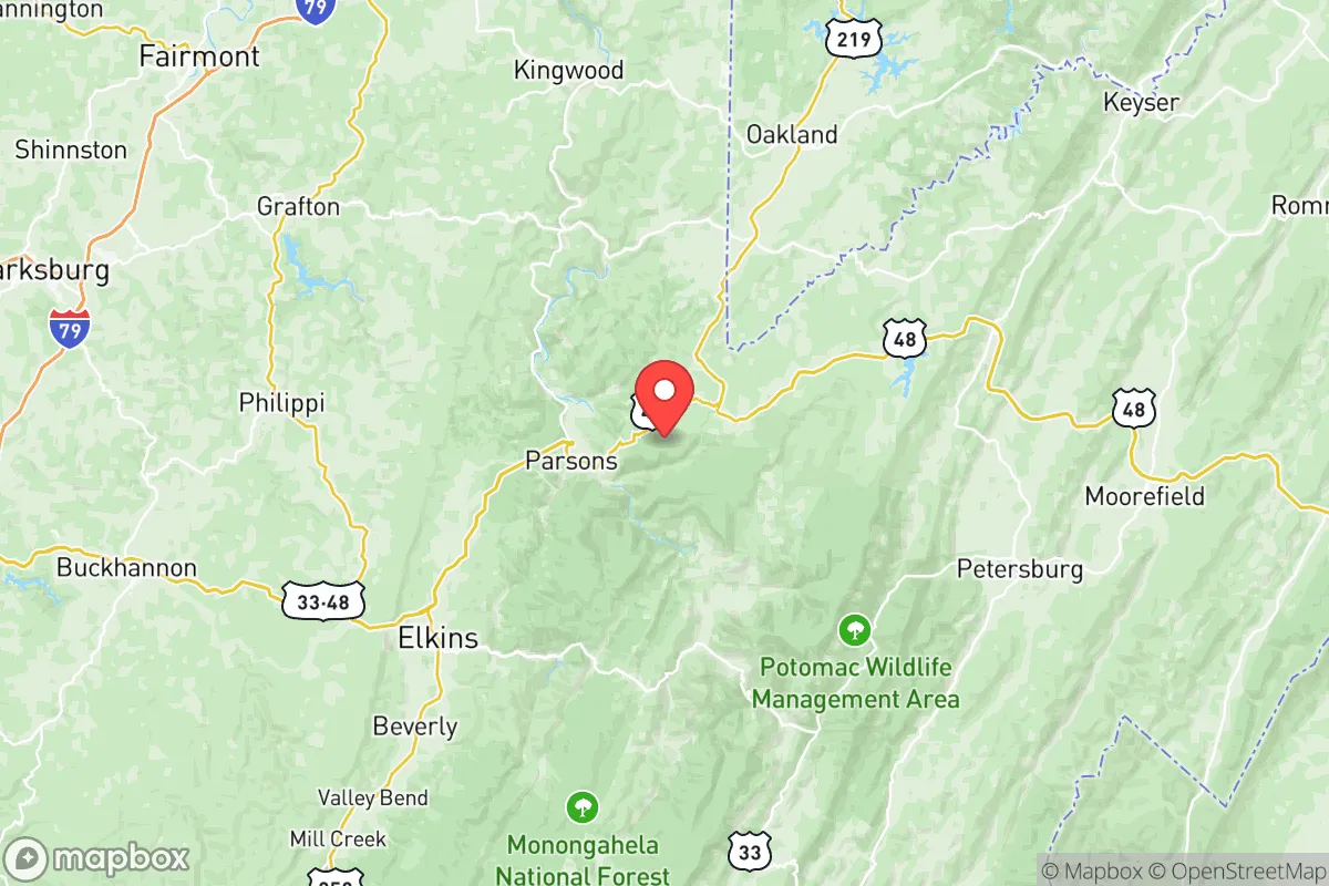
Tucker County, West Virginia, offers a compelling mix of geographic isolation and strategic access that appeals to relocation-minded individuals and families focused on resilience and self-sufficiency. Nestled in the Allegheny Mountains, the county’s rugged terrain and low population density—roughly 7,000 residents spread over 419 square miles—provide a natural buffer against many of the risks associated with urban and suburban living. Its location, roughly a three-hour drive from Washington, D.C., and two hours from Pittsburgh, places it far enough from major metropolitan centers to avoid their cascading vulnerabilities while remaining within a day’s reach for resupply or family visits. This balance of remoteness and connectivity is a core advantage for those assessing long-term preparedness.
Geographic position and natural advantages for self-sufficiency
Tucker County sits in the heart of the Potomac Highlands, a region defined by steep ridges, deep valleys, and extensive hardwood forests. The county’s elevation—ranging from roughly 1,500 to over 4,800 feet at the summit of Spruce Knob—creates a cooler, less humid climate than much of the surrounding lowlands, reducing the risk of heat-related infrastructure failures and supporting diverse agriculture. The Blackwater River and the Cheat River systems run through the county, providing reliable surface water sources, while the underlying geology of fractured sandstone and shale offers potential for well water in many areas. The county’s position along the eastern continental divide means it is largely upstream from major industrial centers, a factor that reduces exposure to downstream contamination events. For a relocator, the combination of abundant timber for fuel and construction, ample rainfall (averaging 45-50 inches annually), and relatively fertile valley soils makes Tucker County a strong candidate for a semi-subsistence lifestyle, though the short growing season (roughly 120-140 days) limits crop variety.
Risks, exposures, and proximity to fallout-relevant landmarks
While Tucker County’s isolation is a strength, it is not immune to risks. The primary natural hazard is flooding, particularly along the Blackwater River in towns like Davis and Thomas, where heavy rain or rapid snowmelt can cause flash flooding that isolates communities. The mountainous terrain also creates a risk of landslides on steep slopes, especially after prolonged wet periods. Wildfire risk is moderate, with the dense forest cover becoming a concern during dry summers, though the region’s high humidity typically mitigates large-scale burns. From a man-made risk perspective, Tucker County’s distance from major strategic targets is a significant advantage. The nearest military installation of note is the Naval Support Facility Dahlgren in Virginia, roughly 150 miles southeast, and the Fort Indiantown Gap in Pennsylvania, about 140 miles northeast. Neither is a primary nuclear target. The county is also far from the Houston refinery corridor or the Port of Baltimore, both of which are high-consequence zones for industrial accidents or targeted disruptions. The closest nuclear power plant is the North Anna Power Station in Virginia, approximately 130 miles south, well outside the typical 50-mile emergency planning zone. For a relocator concerned with fallout from a major event, Tucker County’s position in a sparsely populated, mountainous region with prevailing westerly winds offers a strong defensive posture against airborne contamination from eastern seaboard targets.
Practical resilience for a relocator: food, water, energy, and defensibility
Practical self-sufficiency in Tucker County requires planning, but the natural resources are favorable. Water is the strongest asset: the county’s numerous streams, springs, and high water table mean that a properly sited property with a drilled well can provide a reliable, gravity-fed water supply without dependence on municipal systems. For food, the short growing season limits row crops like corn and soybeans, but cool-weather staples such as potatoes, kale, and root vegetables thrive. The surrounding national forests—Monongahela National Forest covers a significant portion of the county—offer hunting for deer, turkey, and small game, as well as foraging for mushrooms and berries. Local agriculture is small-scale, but farmers’ markets in Parsons, the county seat, and Davis provide seasonal produce and meat. Energy resilience is mixed: the region is served by FirstEnergy’s grid, which is vulnerable to ice storms and tree falls that can cause multi-day outages. However, the mountainous terrain is excellent for micro-hydro generation on perennial streams, and solar potential is decent despite frequent cloud cover—south-facing slopes can yield 4-5 peak sun hours per day. Wood heating is the dominant backup, with abundant firewood available for the labor of cutting and splitting. Defensibility is a key advantage: the narrow valley roads, dense forest, and limited entry points (primarily US Route 219 and WV Route 32) make the area naturally chokepoint-friendly. A small group could effectively monitor and control access to a valley homestead, though the same terrain can hinder emergency response times—ambulance and fire services are volunteer-based and can take 20-40 minutes in remote areas.
The overall strategic picture for Tucker County is one of strong natural resilience tempered by practical trade-offs. Its geographic isolation, abundant water, and low target profile make it a solid choice for a family or individual prioritizing long-term preparedness over convenience. The trade-offs are real: limited employment opportunities (the economy leans on tourism, timber, and a small healthcare sector), a sparse population that means fewer social services, and a climate that demands serious winter preparedness. For the relocator who values self-reliance and is willing to invest in off-grid infrastructure—well, solar or micro-hydro, wood heat, and food storage—Tucker County offers a defensible, low-risk base of operations. It is not a bug-out location for a weekend; it is a place to build a life that is inherently more resilient than 90% of the country, provided you come prepared for the solitude and the seasons.

* Values derived from national, state, county, city and local statistics and may differ in a specific area. Last updated: 2026-10-05T19:27:19.000Z
Narrative content on this page is AI-generated and may contain mistakes. Verify any details that matter before acting on them.
ReloMaps may earn a commission from affiliate links at no extra cost to you.

