
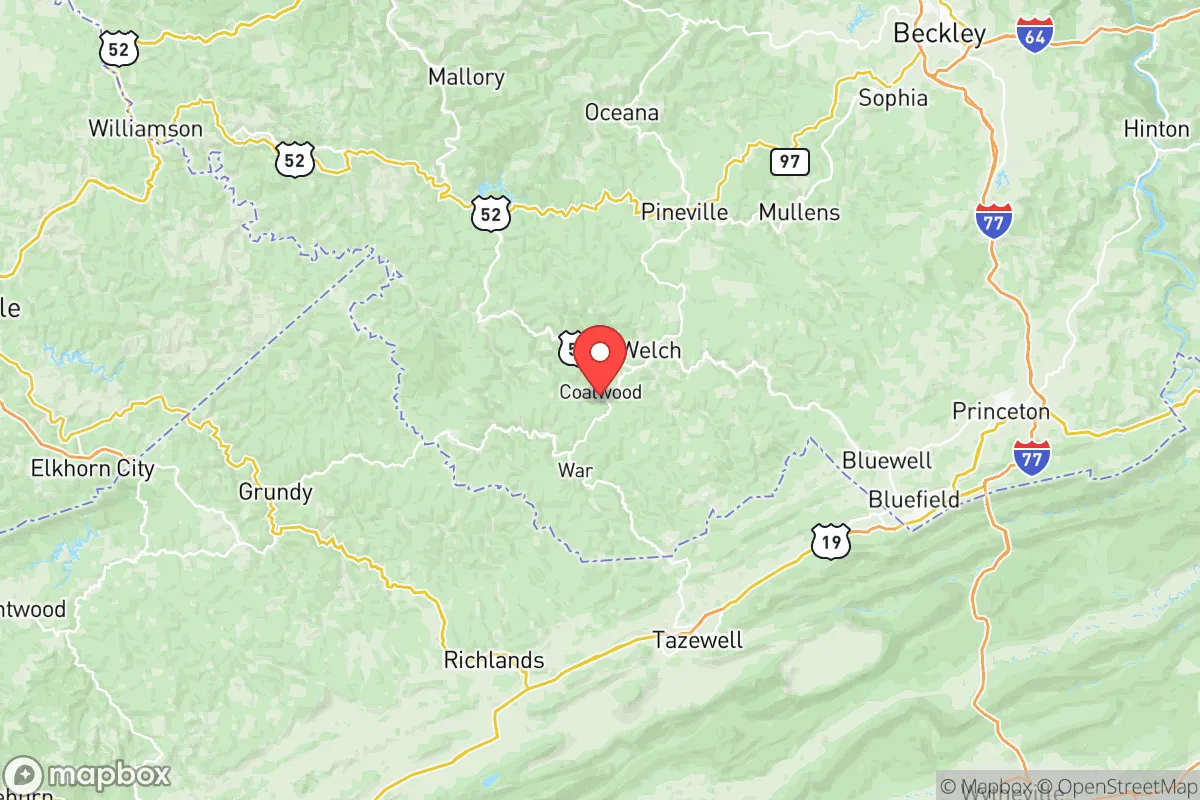
Strategic Assessment of Mcdowell County
Workable tactical position. Some exposure to population density or targets, but generally defensible in a crisis.
What does the Strategic Assessment tell us?
Our Strategic Assessment grades tactical survivability of an area. Major population centers, military targets, fallout zones, natural disasters, and border exposure all drive risk — lower exposure means a more defensible position in a crisis.
This is heavily inspired by Joel Skousen's Strategic Relocation book. Highly recommended you checkout the book ($)What does this tell us?
Our Strategic Assessment grades tactical survivability of an area. Major population centers, military targets, fallout zones, natural disasters, and border exposure all drive risk — lower exposure means a more defensible position in a crisis.
This is heavily inspired by Joel Skousen's Strategic Relocation book. Highly recommended you checkout the book ($)Strategic Pillars

Key Distances
Strategic Assessment Analysis
McDowell County, West Virginia, offers a compelling strategic option for those prioritizing resilience and self-sufficiency, rooted in its remote, mountainous terrain and deep historical independence. Located in the state's rugged southern coalfields, the county’s defining advantage is its sheer isolation from major population centers and high-value targets like the Washington, D.C. metropolitan area and the Hampton Roads ports, both well over 350 miles away. This distance, combined with the region’s challenging topography of narrow valleys and steep ridges, provides a natural buffer that makes McDowell County one of the most defensible and low-profile relocation destinations east of the Mississippi.
Geographic position and natural advantages for self-sufficiency
McDowell County sits in a strategic pocket of the Appalachian Mountains, with its county seat at Welch and key communities like Kimball and Iaeger scattered along creek valleys. The county is bordered by Virginia and Kentucky, placing it within a day’s drive of the Charlotte and Roanoke regions for emergencies, but far enough from interstate corridors and major interchanges that through-traffic is minimal. The terrain itself is the primary defensive asset: elevation changes of 500 to 1,000 feet within short distances create natural choke points and defensible ridgelines. Access is limited primarily to U.S. Route 52 and a handful of secondary roads, meaning any large-scale movement into the area is funneled and easily monitored. The county’s position also means it is over 200 miles from any operating nuclear power plant (the closest are the North Anna station in Virginia and the Sequoyah plant in Tennessee), reducing fallout risks from a cascading grid event. Additionally, the region’s historically abundant surface and groundwater — the Tug Fork River forms the western border — provides a reliable water supply independent of distant reservoirs.
Risks, exposures, and proximity to fallout-relevant landmarks
While McDowell County enjoys significant geographic insulation, it is not without risks. The primary concern is its legacy as a coal-producing region: abandoned mines, coal slurry impoundments, and methane seeps dot the landscape. A major incident at a large impoundment, such as the one near Bradshaw, could contaminate local water sources for an extended period. In terms of man-made threats, the county’s distance from high-value targets is a strength, but it sits within about 150 miles of the Newport News Shipbuilding yard in Virginia and the Kingsport chemical corridor in Tennessee — both potential secondary targets. Ground-level fallout from an event on the East Coast would likely be carried by prevailing west-to-east winds away from McDowell County, though a high-altitude burst could spread contamination westward. The county’s steep valleys also pose a natural hazard: flash flooding is a recurring threat, with Tropical Storm Fred in 2021 causing devastating damage in Kimball and along the Tug Fork. Tornadoes are rare but possible, and winter storms can isolate communities for days due to icy roads. Finally, the area’s population decline — down to roughly 18,000 from a peak of over 100,000 — means a reduced tax base and aging emergency response infrastructure, a factor relocators must weigh.
Practical resilience for a relocator: food, water, energy, and defensibility
For the serious prepper or self-sufficiency seeker, McDowell County scores well on day-to-day sustainability but poorly on immediate supplies. Local food production is robust: the county has a long history of family-scale gardening, hunting (deer, turkey, and small game), and foraging for ramps, berries, and medicinal plants. However, the growing season is short (roughly 150 days), and the soil is often thin and rocky on hillsides. Large-scale agriculture is nearly impossible, so protein from livestock (chickens, goats, pigs) and hunting is the staple. Water access is excellent — most homes in the county sit near perennial streams or springs, and well drilling is common. The county’s water systems, run by the McDowell County Public Service District, are aging but functional, with the main treatment plant near Welch drawing from the Tug Fork. For energy, the region is rich in coal and natural gas, but solar exposure is limited by steep terrain and frequent cloud cover. Wood heating is the dominant resilience strategy: nearly every home in the county has a stove or fireplace, and timber is abundant. Defensibility is the county’s standout feature. The narrow valley roads create natural funnels — any approach to Welch or Kimball can be observed from the ridges above. The population is sparse and widely dispersed, with homes often hidden in hollows, making a grid-down scenario one where small groups can control their immediate area. Community trust is high, but newcomers should expect a long integration period — the area’s culture is insular and clan-based.
The overall strategic picture for McDowell County is one of a resilient outpost, not a comfortable suburb. It offers genuine physical security through distance and terrain, with abundant water and wood resources, but requires a high level of personal preparedness for food production and medical emergencies. The key trade-off is isolation: you gain safety from distant threats but lose easy access to urban healthcare, specialized supplies, and skilled trades. For a family or individual willing to invest in off-grid infrastructure — solar panels on a south-facing ridge, a deep well, and a root cellar — McDowell County represents one of the few remaining places on the Eastern Seaboard where a low-profile, self-reliant existence is still achievable without constant worry about proximity to fallout or civil unrest. Relocation here is a long-term commitment, not a weekend bug-out, and success depends on building relationships with neighbors and understanding the land before a crisis arrives.

* Values derived from national, state, county, city and local statistics and may differ in a specific area. Last updated: 2026-06-29T03:23:13.000Z
Narrative content on this page is AI-generated and may contain mistakes. Verify any details that matter before acting on them.
ReloMaps may earn a commission from affiliate links at no extra cost to you.

