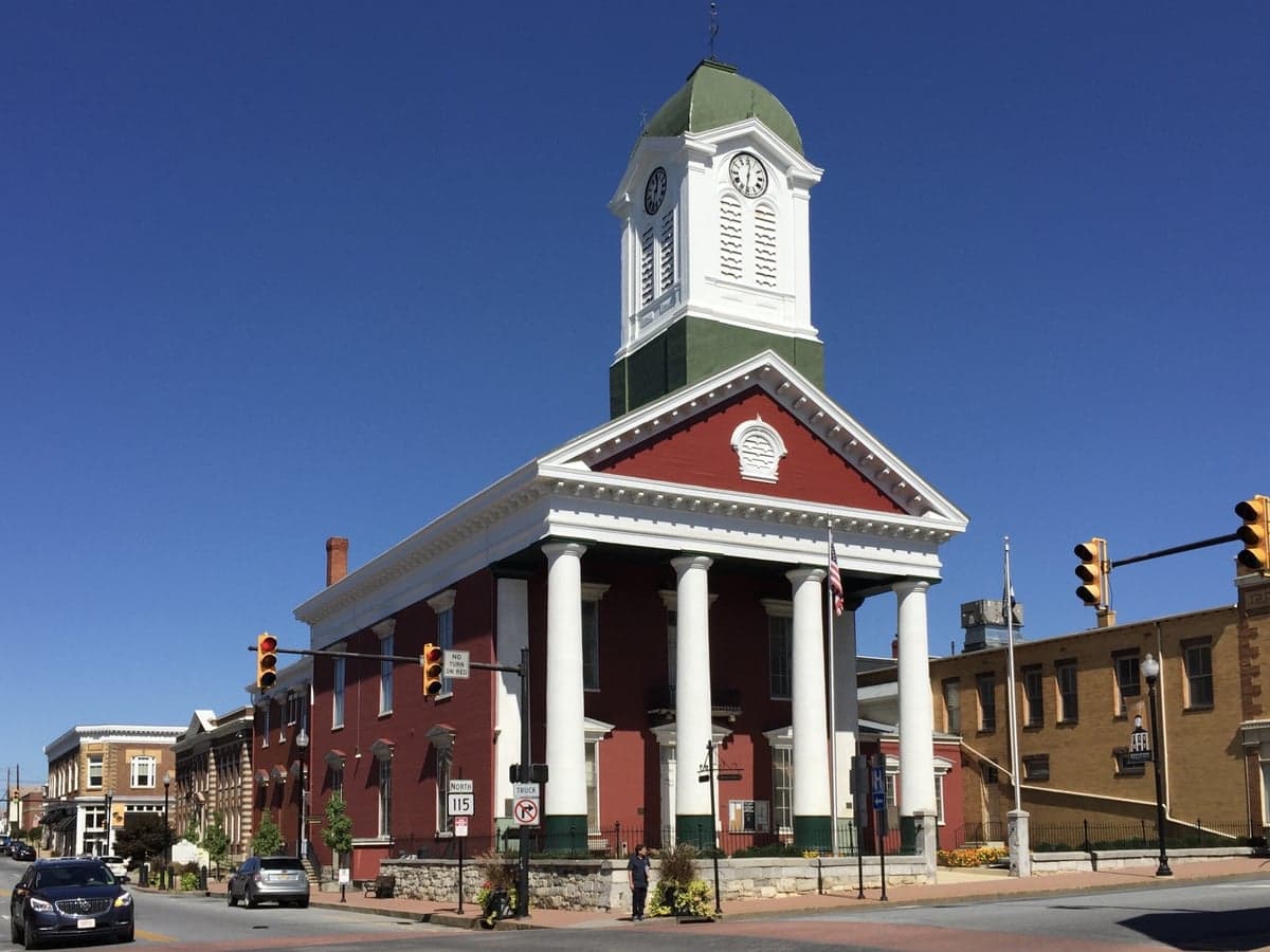
Photo: Wikipedia
Strategic Assessment of Jefferson County
Meaningful friction. Expect exposure to either population pressure, blast zones, or natural disaster risk. Consider buying a retreat property.
What does the Strategic Assessment tell us?
Our Strategic Assessment grades tactical survivability of an area. Major population centers, military targets, fallout zones, natural disasters, and border exposure all drive risk — lower exposure means a more defensible position in a crisis.
This is heavily inspired by Joel Skousen's Strategic Relocation book. Highly recommended you checkout the book ($)What does this tell us?
Our Strategic Assessment grades tactical survivability of an area. Major population centers, military targets, fallout zones, natural disasters, and border exposure all drive risk — lower exposure means a more defensible position in a crisis.
This is heavily inspired by Joel Skousen's Strategic Relocation book. Highly recommended you checkout the book ($)Strategic Pillars

Key Distances
Strategic Assessment Analysis
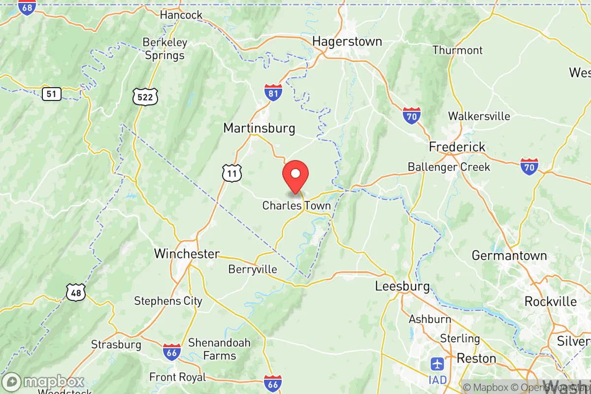
Jefferson County, West Virginia, occupies a unique strategic position in the Mid-Atlantic region, offering a blend of rural character and proximity to major metropolitan infrastructure that appeals to relocation-minded individuals and families with a conservative, preparedness-oriented outlook. Located in the state’s Eastern Panhandle, the county sits roughly 70 miles northwest of Washington, D.C., and 60 miles west of Baltimore, placing it within a two-hour drive of the nation’s capital and its associated economic and logistical networks. This proximity to the I-81 and I-70 corridors provides access to supply chains and medical facilities, while the county’s own landscape—rolling hills, the Potomac and Shenandoah Rivers, and the Blue Ridge foothills—offers a degree of natural insulation from the denser urban zones to the east. For a relocator weighing resilience, the area’s key advantage is its position as a buffer between the urbanized Eastern Seaboard and the more sparsely populated Appalachian interior, a geography that supports both self-sufficiency and connectivity.
Geographic position and natural advantages for long-term stability
Jefferson County’s geography is defined by its location in the Shenandoah Valley, a fertile corridor flanked by the Blue Ridge Mountains to the east and the Appalachian Plateau to the west. The county’s topography is predominantly rolling farmland and wooded hills, with elevations ranging from about 300 to 1,200 feet, which provides natural drainage and reduces flood risk in most areas outside the immediate floodplains of the Potomac and Shenandoah Rivers. The county seat, Charles Town, sits at roughly 500 feet elevation, while the historic town of Harpers Ferry lies at the confluence of the Potomac and Shenandoah, a scenic but flood-prone zone. The broader region benefits from a temperate climate with four distinct seasons, averaging 40 inches of rainfall annually, which supports local agriculture and groundwater recharge. The presence of the Potomac River and the Shenandoah River provides surface water resources, though access is not uniform across the county. For a relocator, the key natural advantage is the county’s position in a valley with defensible terrain—the surrounding ridges offer observation points and natural barriers, while the fertile soil supports small-scale farming, a critical factor for long-term food security. The area’s distance from the coast—roughly 150 miles inland—reduces exposure to hurricane storm surge, though inland flooding from heavy rain remains a periodic concern.
Risks, exposures, and proximity to fallout-relevant landmarks
Jefferson County’s strategic location also introduces specific risks that a preparedness-minded relocator must weigh. The county’s proximity to the Washington, D.C., metropolitan area—a high-value target for any large-scale conflict or terrorist event—means that fallout from a nuclear detonation or a major industrial accident in the capital region could affect the Eastern Panhandle, depending on wind patterns. The county lies roughly 50 miles from Fort Belvoir in Virginia, a major military installation, and about 60 miles from the Pentagon, both of which are potential targets. Additionally, the Indian Point Energy Center nuclear power plant in New York is over 300 miles away, but the Calvert Cliffs Nuclear Power Plant in Maryland is about 120 miles southeast, placing Jefferson County within the outer risk zone for a radiological release under worst-case weather scenarios. On the industrial side, the county itself has no major refineries or chemical plants, but the Baltimore Harbor and its associated industrial corridor—including the Port of Baltimore and the Domino Sugar Refinery—are about 70 miles east, and a major accident there could send hazardous materials up the Potomac watershed. Natural risks are more localized: the county is in a moderate seismic zone, with minor earthquakes possible but rare, and the primary weather threats are severe thunderstorms, tornadoes (typically EF-0 to EF-2), and winter ice storms that can disrupt power for days. The Harpers Ferry area is particularly vulnerable to flash flooding from the Potomac and Shenandoah, as seen in the 2018 floods that damaged homes and infrastructure. For a relocator, the key takeaway is that Jefferson County’s risks are primarily secondary—fallout from distant targets, not direct strikes—and can be mitigated by choosing a home site away from floodplains and major transportation corridors.
Practical resilience for a relocator: food, water, energy, and defensibility
For a family or individual serious about self-sufficiency, Jefferson County offers a mix of strengths and gaps that require proactive planning. Food security is a notable advantage: the county has a strong agricultural base, with dozens of working farms producing vegetables, livestock, and hay. The Jefferson County Farmers Market in Charles Town operates year-round, and local farms like Boyd’s Orchard and Mountain View Farm offer direct sales. The fertile soil and moderate climate allow for home gardening from April through October, and the county’s zoning is generally permissive for small livestock, including chickens and goats, on parcels of one acre or more. Water security is more variable: municipal water in Charles Town and Ranson comes from the Potomac River via the Jefferson County Public Service District, but a prolonged power outage or contamination event could disrupt supply. Homes with private wells—common in rural areas—are more resilient, but well depth and yield vary; the county’s groundwater is generally adequate but can be affected by drought in late summer. Energy resilience is a weak point: the grid is served by Potomac Edison (a FirstEnergy subsidiary), and outages from storms or equipment failure are common, with some rural areas experiencing multi-day blackouts during ice storms. Solar potential is good—the county averages 4.5 peak sun hours per day—but local permitting for off-grid systems is straightforward, and many residents install backup generators. Defensibility is a mixed picture: the county’s rolling terrain and wooded ridges offer natural cover, but the population density of about 200 people per square mile means that a determined group could be isolated. The Blue Ridge Mountains to the east provide a natural barrier, and the Potomac River crossings at Harpers Ferry and Shepherdstown are chokepoints that could be monitored. However, the county’s proximity to major highways—I-81 and US-340—means that evacuation or resupply routes are vulnerable to congestion. For a relocator, the practical strategy is to secure a property with a well, solar panels, and a defensible perimeter, ideally on a ridge or hillside away from main roads.
Overall, Jefferson County presents a balanced strategic picture for a relocation-minded individual or family focused on resilience. Its geographic position offers a rare combination of rural self-sufficiency potential and access to urban resources, but the proximity to Washington, D.C., and its associated risks—both military and industrial—cannot be ignored. The county’s agricultural base, water resources, and defensible terrain provide a solid foundation for preparedness, but the grid dependency and flood risks in low-lying areas require deliberate mitigation. For a relocator willing to invest in off-grid infrastructure and choose a site carefully, Jefferson County offers a viable base of operations in the Mid-Atlantic, with the caveat that it is not a remote retreat but a buffer zone—close enough to benefit from civilization, far enough to survive its collapse. The key is to treat the area as a strategic asset, not a sanctuary, and to plan accordingly.

* Values derived from national, state, county, city and local statistics and may differ in a specific area. Last updated: 2026-07-26T04:07:30.000Z
Narrative content on this page is AI-generated and may contain mistakes. Verify any details that matter before acting on them.
ReloMaps may earn a commission from affiliate links at no extra cost to you.

