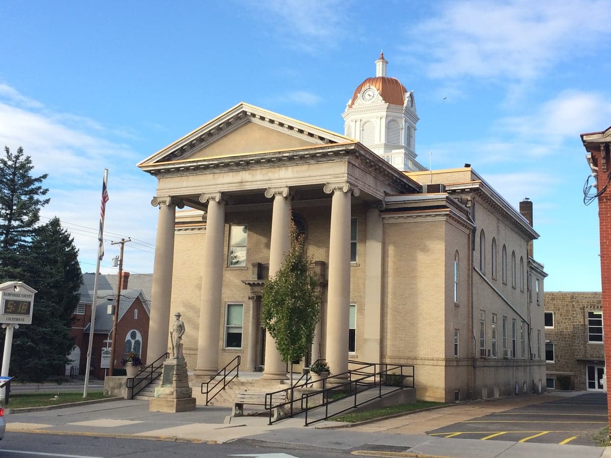
Photo: Wikipedia
Strategic Assessment of Hampshire County
Workable tactical position. Some exposure to population density or targets, but generally defensible in a crisis.
What does the Strategic Assessment tell us?
Our Strategic Assessment grades tactical survivability of an area. Major population centers, military targets, fallout zones, natural disasters, and border exposure all drive risk — lower exposure means a more defensible position in a crisis.
This is heavily inspired by Joel Skousen's Strategic Relocation book. Highly recommended you checkout the book ($)What does this tell us?
Our Strategic Assessment grades tactical survivability of an area. Major population centers, military targets, fallout zones, natural disasters, and border exposure all drive risk — lower exposure means a more defensible position in a crisis.
This is heavily inspired by Joel Skousen's Strategic Relocation book. Highly recommended you checkout the book ($)Strategic Pillars

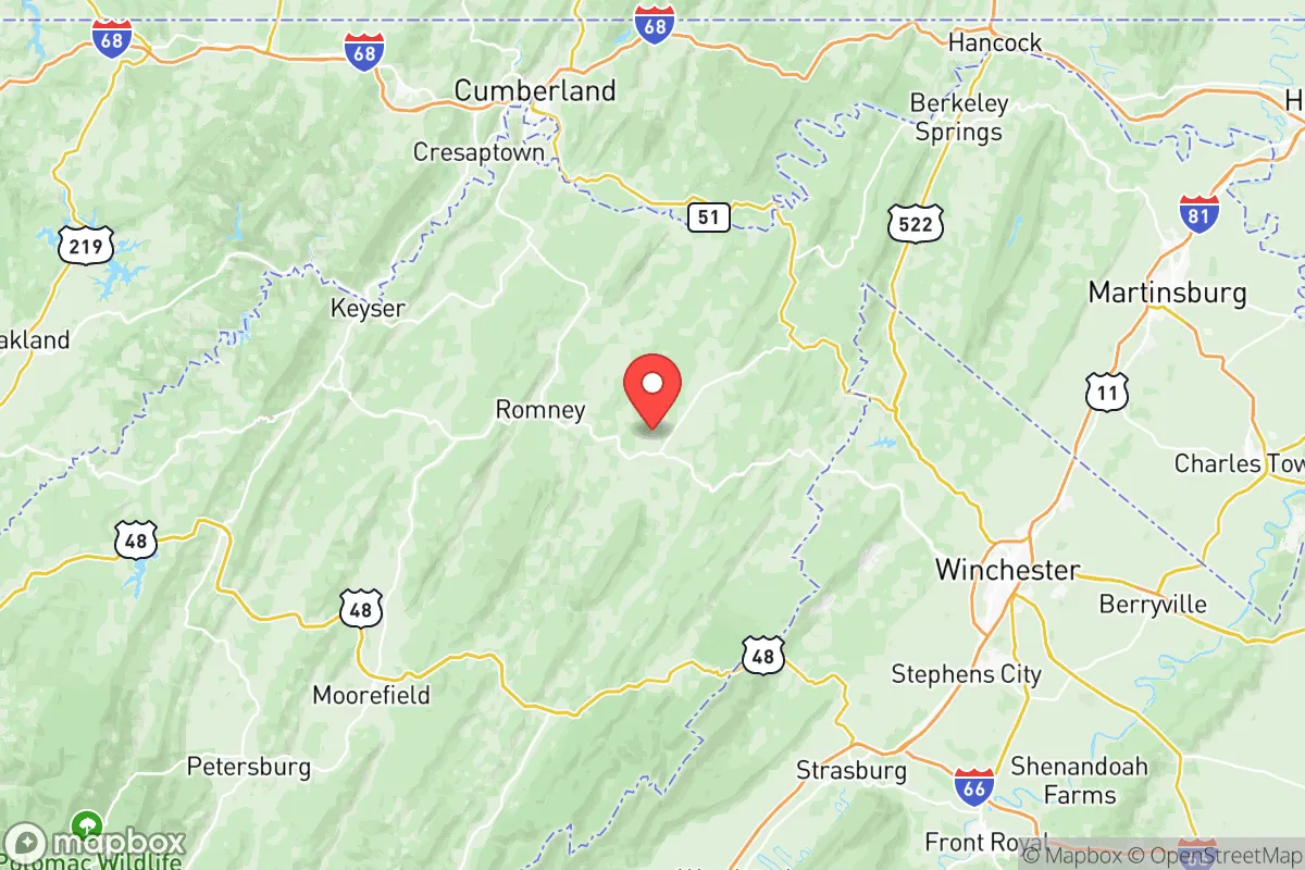
Key Distances
Strategic Assessment Analysis
Hampshire County, West Virginia, offers a compelling strategic profile for relocators prioritizing resilience and self-sufficiency, balancing genuine geographic advantages with real-world exposure to risks that demand preparation. Situated in the state's Eastern Panhandle, this rural county of roughly 23,000 residents sits at a meaningful distance from major metropolitan targets like Washington, D.C. (about 120 miles east) and Baltimore (roughly 130 miles northeast), yet remains close enough for practical access to supplies and medical care. The county's position within the Appalachian Ridge and Valley region provides natural buffers and resources that make it a serious contender for those evaluating long-term security and preparedness.
Geographic position and natural advantages for long-term security
Hampshire County's topography is its strongest asset for resilience. The county is defined by the Cacapon Mountain and the North River Mountain ridges, which create natural barriers and defensible terrain. The South Branch Potomac River runs through the county seat, Romney, and the Cacapon River flows through the eastern portion, providing reliable surface water sources. The area's elevation ranges from roughly 600 feet in the river valleys to over 2,500 feet on the ridges, offering multiple microclimates and vantage points. The county is heavily forested — over 75% of its land area is timberland — which supports hunting, firewood, and building materials. The underlying geology is primarily limestone and shale, which supports good groundwater aquifers; many properties in areas like Springfield, Augusta, and Capon Bridge rely on private wells with consistent yields. The county's low population density (roughly 40 people per square mile) means fewer neighbors and more space for self-sufficient activities like gardening, livestock, and rainwater catchment. The proximity to the George Washington National Forest (which borders the county to the east) adds a massive public-land buffer that complicates any large-scale movement through the region.
Risks, exposures, and proximity to fallout-relevant landmarks
No strategic assessment is honest without acknowledging the risks. Hampshire County's primary man-made exposure comes from its position within the Washington-Baltimore metropolitan shadow. While the county itself has no major military bases, refineries, or nuclear power plants, it lies within the fallout plume zone for several high-value targets. The Davis-Besse Nuclear Power Station in Ohio is roughly 300 miles northwest — outside immediate danger but within a multi-day fallout transport window under certain wind patterns. More concerning is the Baltimore-Washington corridor, which contains Fort Meade (NSA), the Pentagon, and multiple federal command centers. Prevailing winds in this region are generally west-to-east, meaning fallout from a strike on D.C. would likely move toward the Atlantic, not into Hampshire County. However, a ground burst or surface-level detonation could produce local fallout that drifts unpredictably. The county's own Eastern Panhandle position also places it near the Berkeley County industrial corridor (Martinsburg), which includes rail yards and data centers that could be secondary targets. Natural risks are modest: the county experiences occasional flooding along the South Branch Potomac (Romney has seen significant floods in 1985 and 1996), and the region is in a low-seismicity zone. Tornado risk is below the national average, and wildfire risk is moderate given the forest cover. Winter storms can be disruptive — the county averages 30 inches of snow annually — but are manageable with proper preparation.
Practical resilience for a relocator: food, water, energy, and defensibility
For a relocator serious about self-sufficiency, Hampshire County offers a strong baseline with some important caveats. Water is the county's clearest advantage: the South Branch Potomac and Cacapon River systems provide year-round surface flow, and groundwater is generally accessible at depths of 50-200 feet. Many older properties in areas like Romney and Capon Bridge have functioning hand-dug wells or springs. The county's average annual rainfall of 38 inches supports rain barrels and cistern systems. Food production is viable: the growing season runs roughly April through October, and the limestone-based soils in the river valleys are fertile for vegetables and small grains. The county has a strong hunting culture — white-tailed deer, wild turkey, and black bear are abundant — and the Potomac River system supports fishing. Local agriculture is limited but present: there are several small farms and orchards in the Augusta and Springfield areas, and the Hampshire County Farmers Market operates in Romney from May through October. Energy is a mixed picture. The county is served by Potomac Edison (FirstEnergy), and power outages are common during winter storms and thunderstorms — some rural areas can be without power for 3-5 days after a major event. Solar potential is moderate: the region receives about 4.5 peak sun hours per day, and off-grid solar systems are feasible with battery storage. Wood heating is practical given the forest cover, and many homes already have wood stoves or fireplaces. Defensibility is the county's strongest suit. The ridge-and-valley terrain creates natural chokepoints: the major roads (US-50, WV-28, WV-9) follow river valleys and can be monitored or blocked at narrow passes. The low population density means fewer people to compete with for resources, and the local culture is heavily oriented toward self-reliance and firearms ownership — West Virginia has some of the most permissive gun laws in the country, including constitutional carry. The county's law enforcement presence is minimal (Hampshire County Sheriff's Office has roughly 20 deputies), which means communities would need to organize their own security in a prolonged crisis.
The overall strategic picture for Hampshire County is one of genuine opportunity tempered by honest limitations. For a relocator willing to invest in off-grid infrastructure — a well, solar panels, a wood stove, and a substantial food storage system — the county provides a defensible, resource-rich environment that is far enough from major targets to avoid the worst of a collapse scenario, yet close enough to the Eastern Seaboard for resupply and medical access in normal times. The key vulnerabilities are the county's dependence on external supply chains for most goods (there is no major manufacturing or distribution center within the county) and its position within the broader D.C.-Baltimore fallout zone. A relocator should plan for at least 90 days of complete self-sufficiency, including water storage, food reserves, medical supplies, and ammunition. The local community in Romney, Augusta, and Capon Bridge is generally welcoming to newcomers who respect the land and the culture, but integration takes time. For those who treat this as a long-term investment in security rather than a quick escape, Hampshire County ranks as one of the more viable options in the Mid-Atlantic region for serious resilience-minded relocation.

* Values derived from national, state, county, city and local statistics and may differ in a specific area. Last updated: 2026-10-23T18:20:33.000Z
Narrative content on this page is AI-generated and may contain mistakes. Verify any details that matter before acting on them.
ReloMaps may earn a commission from affiliate links at no extra cost to you.

