Photo: Wikipedia
Strategic Assessment of Fayette County
Workable tactical position. Some exposure to population density or targets, but generally defensible in a crisis.
What does the Strategic Assessment tell us?
Our Strategic Assessment grades tactical survivability of an area. Major population centers, military targets, fallout zones, natural disasters, and border exposure all drive risk — lower exposure means a more defensible position in a crisis.
This is heavily inspired by Joel Skousen's Strategic Relocation book. Highly recommended you checkout the book ($)What does this tell us?
Our Strategic Assessment grades tactical survivability of an area. Major population centers, military targets, fallout zones, natural disasters, and border exposure all drive risk — lower exposure means a more defensible position in a crisis.
This is heavily inspired by Joel Skousen's Strategic Relocation book. Highly recommended you checkout the book ($)Strategic Pillars

Key Distances
Strategic Assessment Analysis
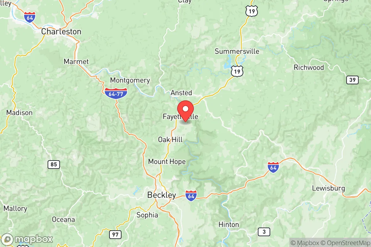
Fayette County, West Virginia, offers a compelling strategic profile for relocation-minded readers prioritizing resilience and self-sufficiency, anchored by its rugged Appalachian geography and distance from major metropolitan targets. Situated roughly 50 miles southeast of Charleston and 60 miles northwest of Roanoke, Virginia, the county sits outside the primary blast and fallout zones of any major city, military installation, or critical industrial complex. Its location along the New River Gorge and within the Allegheny Plateau provides natural barriers and a degree of isolation that is increasingly rare along the Eastern Seaboard, making it a serious consideration for those evaluating long-term security and preparedness.
Geographic position and natural defensive advantages
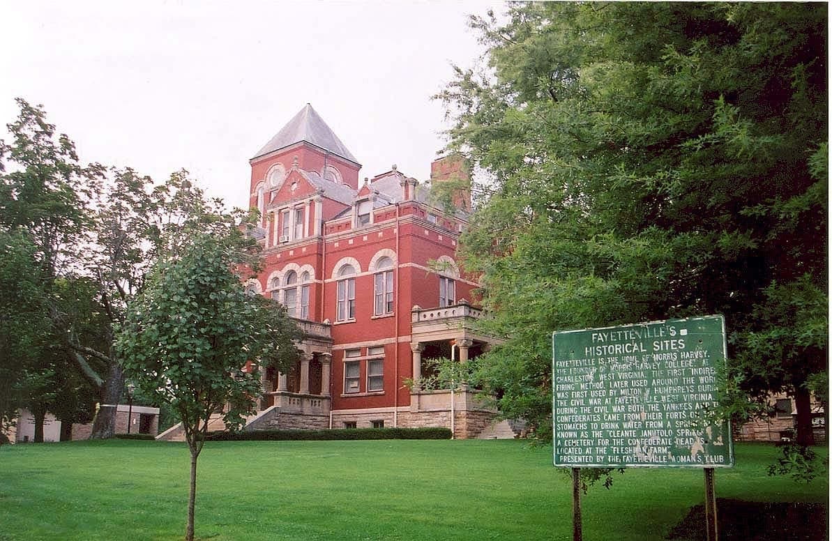
Fayette County's terrain is its primary strategic asset. The county is defined by steep ridges, deep river valleys, and extensive hardwood forests, with elevations ranging from roughly 1,000 to over 3,000 feet. This topography naturally limits access and creates defensible positions, particularly in the more remote eastern sections around Gauley Bridge and Thurmond. The New River Gorge National Park and Preserve covers over 70,000 acres within the county, ensuring a large, permanently protected buffer of undeveloped land. The county seat, Fayetteville, sits on a plateau and is a practical hub, but the real resilience value lies in the smaller communities and hollows that are off the main corridors. The region's distance from the I-95 megalopolis—over 250 miles from Washington, D.C.—places it well outside the likely evacuation chaos and secondary effects of a major event on the East Coast. The county is also positioned away from the Ohio River Valley's concentrated industrial and chemical corridors, reducing exposure to cascading industrial failures.
Exposure to natural hazards and proximity to fallout-relevant landmarks
While Fayette County avoids the worst of man-made threats, it is not without its own risk profile. The primary natural hazard is flooding, particularly in communities along the New River, Kanawha River, and smaller tributaries. Montgomery and Gauley Bridge have experienced significant flood events historically, and any relocation plan should account for elevation above the floodplain. The mountainous terrain also means landslides and rockfalls can disrupt road access, especially on secondary routes like WV-16 and WV-41. Winter storms can be severe at higher elevations, occasionally isolating remote areas for days. Regarding man-made risks, the county's most notable exposure is its proximity to the Kanawha River chemical corridor downstream, including the Union Carbide plant in Institute, WV (roughly 40 miles northwest). While prevailing winds and terrain offer some dispersion advantage, a major chemical release could still pose a risk. There are no nuclear power plants, major military bases, or large refineries within the county itself, which is a significant positive. The nearest nuclear facility is the Surry Power Station in Virginia, over 200 miles east, well outside any plausible fallout zone.
Practical resilience for a relocator: food, water, energy, and defensibility
For a relocator focused on practical self-sufficiency, Fayette County presents a mixed but generally favorable picture. Water is abundant—the county sits atop significant groundwater aquifers and has countless springs, streams, and the New River itself, which provides a reliable surface water source. Most rural properties rely on private wells, which is a resilience advantage over municipal systems. Food production is feasible but limited by steep terrain and thin mountain soils; bottomland along the rivers is the most productive. The growing season is short (roughly 140-160 frost-free days), so cold-hardy crops and season extension techniques are necessary. Local agriculture is small-scale, with farmers' markets in Fayetteville and Oak Hill providing some local food access, but the county is not a breadbasket. Energy resilience is a strong point: the region has abundant timber for heating, and solar potential is moderate but workable with proper siting on south-facing slopes. The mountainous terrain limits large-scale wind, but micro-hydro from the many streams is a viable option for properties with flowing water. Defensibility is high due to the terrain, limited road networks, and low population density (roughly 40,000 residents county-wide). The primary access routes—US-19, WV-16, and WV-41—are easily monitored and can be controlled at chokepoints. The local population includes a significant number of hunters and outdoorsmen, and the culture of self-reliance is genuine rather than performative.
The overall strategic picture for Fayette County is that of a strong regional retreat location with genuine geographic advantages, but it is not a standalone fortress. Its resilience is best understood as part of a broader Appalachian strategy: it offers excellent water, defensible terrain, and distance from primary targets, but requires a relocator to be proactive about food production, flood risk, and winter preparedness. The county's location within the New River Gorge region provides a natural buffer that few areas east of the Mississippi can match, and its distance from the I-95 corridor and major industrial targets makes it a rational choice for those prioritizing security over convenience. For a single individual or family willing to adapt to mountain living and invest in on-site food and energy systems, Fayette County represents one of the more viable options in the mid-Atlantic for long-term strategic relocation.

* Values derived from national, state, county, city and local statistics and may differ in a specific area. Last updated: 2026-06-15T16:20:23.000Z
Narrative content on this page is AI-generated and may contain mistakes. Verify any details that matter before acting on them.
ReloMaps may earn a commission from affiliate links at no extra cost to you.

