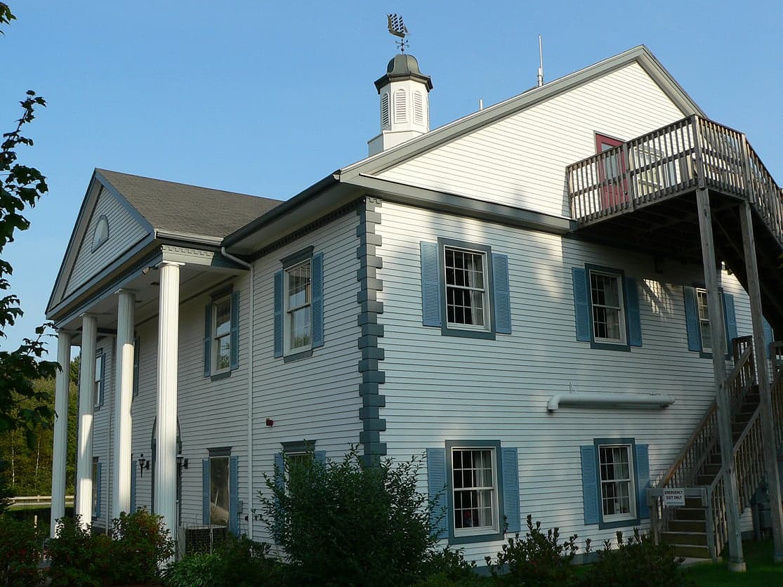
Photo: Wikipedia
Strategic Assessment of Wells, ME
Multiple tactical vulnerabilities. Population density, target proximity, or disaster risk are likely compounding. A retreat property and exit planning is required.
What does the Strategic Assessment tell us?
Our Strategic Assessment grades tactical survivability of an area. Major population centers, military targets, fallout zones, natural disasters, and border exposure all drive risk — lower exposure means a more defensible position in a crisis.
This is heavily inspired by Joel Skousen's Strategic Relocation book. Highly recommended you checkout the book ($)What does this tell us?
Our Strategic Assessment grades tactical survivability of an area. Major population centers, military targets, fallout zones, natural disasters, and border exposure all drive risk — lower exposure means a more defensible position in a crisis.
This is heavily inspired by Joel Skousen's Strategic Relocation book. Highly recommended you checkout the book ($)Strategic Pillars

Key Distances
Regional Safe Places
Below is our recommended "safe zones" in Maine and the surrounding area based on our strategic heuristics. For most people, it's unrealistic to live in a “safe zone” full-time due to work, family or other personal reasons. They tend to be more rural. However, many of these areas are perfect for second homes and retreat properties that double as a vacation home or even a short-term rental.




Important Note: For informational purposes only. This does not mean nothing bad ever happens in the green zones. Please use common sense. This is based on public data and modeled with AI. We tried to take a conservative approach but mistakes happen. We update this regularly as new information becomes available.
Solar Generator Recommendations
Backup power matters more here than in safer locations. We've picked three solar generators across budgets and capacity tiers — start with the budget unit if you only need a few essentials, or step up if you want to run a fridge and HVAC for days at a time.

Jackery Portable Power Station Explorer 300
Budget OptionPower on the Go: Weighing only 11 lbs, it's convenient to set up and store with book-sized foldable solar panels

BLUETTI Portable Power Station AC180
Designed for both indoor and outdoor scenarios, AC180 is highly capable as it has a robost capacity and continuous output power.

EF ECOFLOW DELTA Pro Ultra Power Station
Upgraded PickEcoFlow DELTA Pro Ultra is a whole-home energy system designed to grow with your family. Integrated with the Smart Home Panel 2, it scales to meet your evolving energy needs — keeping your home powered, intelligent, and secure through every stage of life.
We earn a commission, at no additional cost to you.
Strategic Assessment Analysis
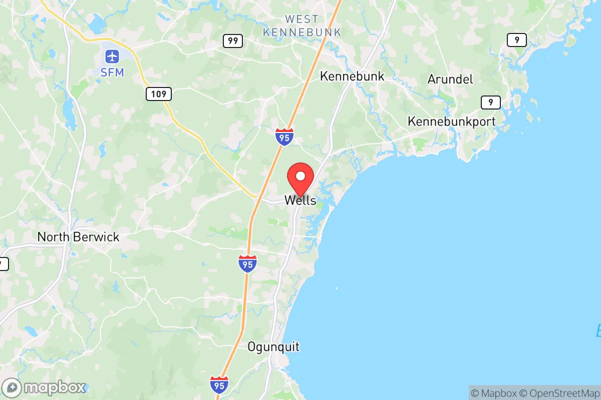
Wells, Maine, occupies a strategic position that balances coastal access with a degree of inland buffer, making it a location worth serious consideration for those prioritizing disaster readiness and long-term self-sufficiency. Situated in York County, roughly 35 miles southwest of Portland and 65 miles northeast of Boston, Wells benefits from proximity to major economic hubs while maintaining a distinct small-town character. The town's resilience profile is shaped by its geography, exposure to natural and man-made risks, and the practical infrastructure available to residents who value preparedness.
Geographic position and natural advantages for long-term stability
Wells sits at the intersection of the Maine Turnpike (I-95) and Route 109, providing reliable evacuation routes north and west into less densely populated regions of Maine. The town's location along the southern Maine coast offers access to the Gulf of Maine's marine resources, but its position relative to the broader New England landscape is what matters most for resilience. The area is part of the coastal plain, with elevations ranging from sea level to roughly 100 feet, which limits the kind of mountainous terrain that can complicate travel and infrastructure maintenance during winter storms. The nearby Kennebunk River and the numerous freshwater ponds and wetlands in the region provide natural water sources, though their reliability during drought conditions requires careful assessment. Wells is also within reasonable driving distance of the White Mountain National Forest (about 90 minutes northwest), offering a potential retreat zone for those with secondary preparedness plans. The town's population of roughly 12,000 swells significantly during summer months due to tourism, which creates seasonal pressure on local resources but also means that year-round residents have a clearer picture of baseline community capacity.
Risks, exposures, and proximity to fallout-relevant landmarks
Wells faces several natural and man-made risks that factor into any serious resilience assessment. The most immediate natural threat is coastal storm surge and sea-level rise, particularly for properties along the Wells Beach and Moody Beach areas. The town has experienced significant flooding events, including the 2023 storm that damaged coastal infrastructure and the 2024 January storm that caused widespread erosion. Inland areas are less exposed but still vulnerable to the heavy rainfall events that have become more frequent in New England. Winter storms are a regular occurrence, with the potential for extended power outages due to ice accumulation on trees and power lines. The town's reliance on overhead utility lines means that a major ice storm could disrupt power for days or weeks, a scenario that has played out in southern Maine multiple times in the past decade. From a man-made risk perspective, Wells' proximity to the Portsmouth Naval Shipyard (about 25 miles south) and the Seabrook Station Nuclear Power Plant (about 20 miles southwest) introduces considerations that are relevant for those thinking seriously about disaster preparedness. Seabrook, located in New Hampshire, is a single-unit pressurized water reactor that has been operational since 1990. While the plant has a strong safety record, its location within the region means that a worst-case scenario involving a release of radioactive material would place Wells within the potential plume zone, depending on wind direction. The Portsmouth Naval Shipyard, which handles nuclear submarine maintenance, presents a lower but non-zero risk profile. Additionally, Wells' position along I-95 means it lies on a major transportation corridor that could be a target in a conflict scenario, though this is a speculative consideration rather than an immediate threat. The town's distance from Boston (roughly 65 miles) provides a meaningful buffer from the immediate effects of a major urban disaster, but it is close enough that a large-scale evacuation from the Boston metro area could overwhelm local resources and roads.
Practical resilience for a relocator: food, water, energy, and defensibility
For someone evaluating Wells as a relocation destination with self-sufficiency in mind, the practical aspects of daily life during a disruption matter more than abstract risk assessments. The town has a robust local food system, with several farms operating within the town limits and the surrounding area. Wells is home to multiple community-supported agriculture (CSA) programs, including Spiller Farm and Bourbon Farm, which offer seasonal produce and meat shares. The Wells Farmers Market operates seasonally, and the town's location within York County means access to a network of farms that produce dairy, eggs, poultry, and vegetables. The Gulf of Maine's fisheries provide a protein source that is accessible to those with the skills and equipment to harvest it, though this requires knowledge of local regulations and seasonal patterns. For water security, Wells relies on a combination of public water supply (serving the more densely populated areas) and private wells (common in the outlying residential areas). Properties with private wells offer a significant advantage in a grid-down scenario, provided the well pump has a backup power source. The town's water table is generally reliable, but drought conditions in recent years have led to some wells running dry, particularly in areas with high seasonal demand. Energy resilience is a mixed picture. The local power grid is managed by Central Maine Power, and outages are common during winter storms. Solar adoption is growing but remains below the levels seen in more progressive parts of New England. For those serious about energy independence, installing a solar array with battery storage is feasible, and the state offers net metering policies that make the economics work for grid-tied systems. Wood heating is common in the area, with plenty of local firewood suppliers, and a wood stove or pellet stove provides a reliable heat source during power outages. Defensibility is a more nuanced consideration. Wells is not a remote or isolated community; it is a suburban town with good road access and a significant seasonal population. This means that during a major crisis, the town could see an influx of people fleeing the Portland or Boston areas. The town's layout, with a mix of dense coastal development and more spread-out inland neighborhoods, means that some properties offer better natural defensibility than others. Properties set back from main roads, with good visibility of approach routes and multiple exit options, are preferable. The local police department is professional but small, and in a prolonged emergency, residents would largely need to rely on themselves and their immediate neighbors. The town's strong sense of community, evidenced by active volunteer fire departments and civic organizations, is a resilience asset that cannot be overstated.
The overall strategic picture for Wells is one of moderate resilience with clear trade-offs. The town offers genuine advantages in terms of local food production, water access, and a community that values preparedness. Its proximity to major urban centers provides economic opportunity and access to specialized services, but that same proximity introduces risks related to evacuation pressure and man-made threats. For a relocator who is serious about disaster readiness, Wells represents a reasonable middle ground: close enough to civilization to be practical for daily life, but far enough to provide a meaningful buffer from the worst effects of a major urban or industrial disaster. The key is to choose a property wisely, invest in backup systems for water and power, and build relationships with neighbors who share a similar mindset. Wells is not a bug-out location, but it is a place where a prepared individual or family can build a sustainable life with a solid foundation of resilience.

* Values derived from national, state, county, city and local statistics and may differ in a specific area. Last updated: 2026-10-11T02:56:50.000Z
Narrative content on this page is AI-generated and may contain mistakes. Verify any details that matter before acting on them.
ReloMaps may earn a commission from affiliate links at no extra cost to you.

