Photo: Wikipedia
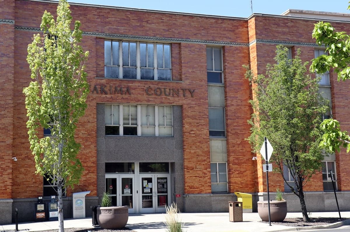
Strategic Assessment of Yakima County
Workable tactical position. Some exposure to population density or targets, but generally defensible in a crisis.
What does the Strategic Assessment tell us?
Our Strategic Assessment grades tactical survivability of an area. Major population centers, military targets, fallout zones, natural disasters, and border exposure all drive risk — lower exposure means a more defensible position in a crisis.
This is heavily inspired by Joel Skousen's Strategic Relocation book. Highly recommended you checkout the book ($)What does this tell us?
Our Strategic Assessment grades tactical survivability of an area. Major population centers, military targets, fallout zones, natural disasters, and border exposure all drive risk — lower exposure means a more defensible position in a crisis.
This is heavily inspired by Joel Skousen's Strategic Relocation book. Highly recommended you checkout the book ($)Strategic Pillars

Key Distances
Strategic Assessment Analysis
Yakima County offers a compelling mix of strategic depth and practical resilience for those prioritizing self-sufficiency and disaster preparedness, sitting at the crossroads of the Cascade Range and the Columbia River Basin. Its relative isolation from major metropolitan targets, combined with a robust agricultural base and ample water resources, makes it a serious contender for relocation. However, this advantage is tempered by specific natural risks and proximity to certain infrastructure that requires a clear-eyed assessment.
Geographic position and natural advantages for self-sufficiency
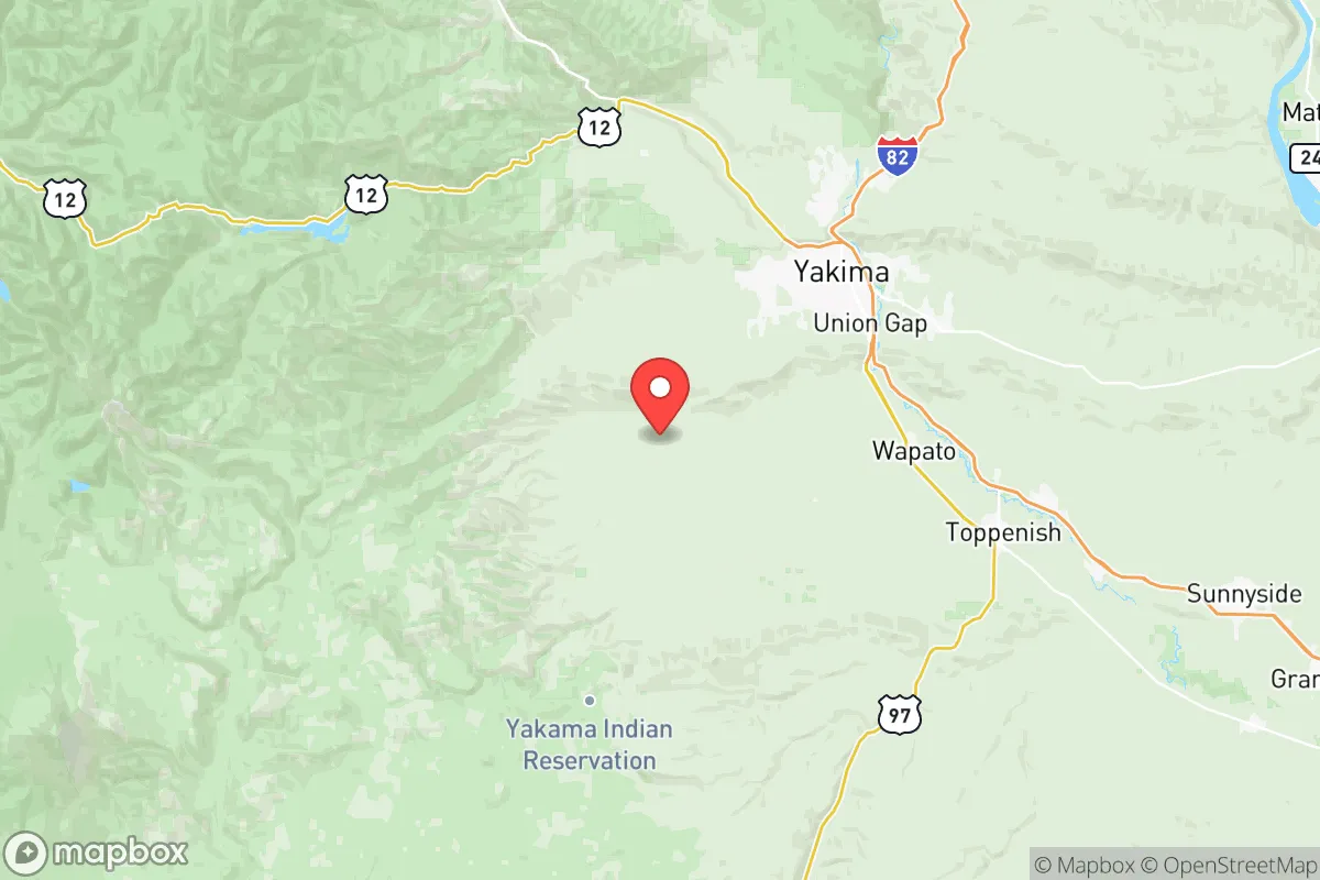
Yakima County's geography is its primary strategic asset. The county is shielded from the Puget Sound population centers and the Seattle-Tacoma metropolitan area by the Cascade Range, a natural barrier that would significantly complicate any large-scale movement or fallout dispersion from a coastal event. The county seat, Yakima, sits in a broad valley at an elevation of roughly 1,100 feet, while the surrounding terrain includes the Rattlesnake Hills and the Cascade foothills, offering numerous defensible positions and microclimates. The Yakima River, a major tributary of the Columbia, runs through the heart of the county, providing a reliable surface water source that is less contested than in arid regions. The county's position astride Interstate 82 and U.S. Highway 12 provides practical access to the rest of the inland Northwest, including Spokane and the Tri-Cities (Richland, Kennewick, Pasco), without requiring passage through major urban choke points. The agricultural richness of the Yakima Valley, producing everything from apples and hops to wine grapes and livestock, means that local food production is not a theoretical exercise but a daily reality, with the potential for direct farm-to-table resilience.
Risks, exposures, and proximity to fallout-relevant landmarks
While Yakima County avoids the direct blast and fallout risks of a major city like Seattle, it is not without its own exposures. The most significant nearby fallout-relevant landmark is the Hanford Site, a decommissioned nuclear production complex located roughly 50 miles southeast in Benton County. While Hanford is not an active weapons facility, it contains massive amounts of radioactive waste in underground tanks, and a catastrophic event there—whether from accident or sabotage—could pose a long-term contamination risk to the Yakima River watershed and downwind areas. Additionally, Yakima County is within a few hours' drive of Joint Base Lewis-McChord near Tacoma, a major military installation that could become a secondary target or a focal point for post-disaster movement. The county itself has no major refineries or heavy industry, which is a net positive for fallout avoidance, but the Yakima Valley's reliance on irrigation canals and pumping stations means that a prolonged power outage would severely disrupt water distribution. Natural risks include seasonal wildfires in the surrounding shrub-steppe and forest lands, as well as the potential for moderate earthquakes along the Yakima Fold Belt, though these are generally less severe than those on the Cascadia subduction zone.
Practical resilience for a relocator: food, water, energy, and defensibility
For a relocator focused on practical resilience, Yakima County scores well on the essentials. Food security is exceptional: the county is one of the nation's top producers of apples, pears, cherries, and hops, with hundreds of small farms and orchards that could be tapped for direct sourcing or barter. The Yakima Valley's extensive irrigation system, fed by the Yakima River and its reservoirs (including Rimrock Lake and Bumping Lake), provides a reliable water supply for agriculture, though individual well drilling is feasible in many areas outside the urban core. Water availability is a major advantage compared to drier parts of the interior West, with the river itself offering a perennial source for those with proper filtration and storage. Energy resilience is moderate: the county is served by the Bonneville Power Administration's hydroelectric grid, which is relatively stable, but rural areas are vulnerable to winter storms and wildfire-related outages. Solar potential is good, with over 300 days of sunshine annually, making off-grid solar a viable supplement. Defensibility varies by location: the small towns of Naches, Tieton, and Cowiche in the western part of the county offer natural chokepoints along canyon roads, while the open agricultural land around Sunnyside and Grandview provides less cover but more escape routes. The county's population of roughly 260,000 is spread across a large area, meaning that a determined relocator can find significant buffer from neighbors if they choose a remote parcel in the foothills.
The overall strategic picture for Yakima County is one of strong but conditional resilience. It offers a rare combination of agricultural self-sufficiency, abundant water, and geographic shielding from the worst-case scenarios of the West Coast, all within a region that has a practical, independent-minded culture. The primary caveats are the proximity to the Hanford Site's long-term contamination risk and the need to prepare for wildfire and irrigation-dependent water systems. For a relocator who is willing to invest in off-grid power, water storage, and a defensible property in the western foothills or along the upper Yakima River corridor, this county represents one of the more balanced options in the Pacific Northwest for serious disaster readiness and long-term self-sufficiency.

* Values derived from national, state, county, city and local statistics and may differ in a specific area. Last updated: 2026-06-22T19:01:04.000Z
Narrative content on this page is AI-generated and may contain mistakes. Verify any details that matter before acting on them.
ReloMaps may earn a commission from affiliate links at no extra cost to you.

