Photo: Wikipedia
Strategic Assessment of Whitman County
Strong survivability profile. Good buffer from population centers, with manageable environmental and tactical risks.
What does the Strategic Assessment tell us?
Our Strategic Assessment grades tactical survivability of an area. Major population centers, military targets, fallout zones, natural disasters, and border exposure all drive risk — lower exposure means a more defensible position in a crisis.
This is heavily inspired by Joel Skousen's Strategic Relocation book. Highly recommended you checkout the book ($)What does this tell us?
Our Strategic Assessment grades tactical survivability of an area. Major population centers, military targets, fallout zones, natural disasters, and border exposure all drive risk — lower exposure means a more defensible position in a crisis.
This is heavily inspired by Joel Skousen's Strategic Relocation book. Highly recommended you checkout the book ($)Strategic Pillars

Key Distances
Strategic Assessment Analysis
Whitman County, Washington, offers a compelling mix of geographic isolation and practical self-sufficiency that appeals to relocation-minded individuals and families with a conservative, preparedness-oriented outlook. Anchored by the city of Pullman and the agricultural hub of Colfax, the county sits in the rolling Palouse region, far from the dense population centers and strategic targets of the West Coast. Its resilience profile is defined by low population density, a robust local food system, and a location that is both remote from major fallout dangers and well-connected to essential supply routes.
Geographic position and natural advantages for long-term stability
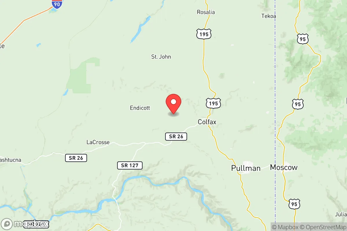
Whitman County’s location in southeastern Washington is a strategic asset. It is roughly 75 miles south of Spokane and 85 miles north of Lewiston, Idaho, placing it outside the immediate blast and fallout zones of major metropolitan areas. The county is part of the Palouse, a region of fertile loess soil that produces a significant portion of the nation’s wheat, lentils, and barley. This agricultural base means that local food production is not just a theoretical possibility but a daily reality. The Snake River forms the county’s southern border, providing a navigable waterway and a source of irrigation, while the region’s numerous small creeks and aquifers support both farming and residential wells. The terrain—gently rolling hills with occasional steep draws—offers natural defensibility and visual cover, unlike the flat, exposed plains of the Midwest. The climate is semi-arid, with cold winters and warm summers, which reduces the risk of hurricane-force winds or prolonged flooding, though wildfire risk exists in dry years. For a relocator, the key advantage is that Whitman County is not a primary target for any known strategic threat, and its agricultural output makes it a net food exporter rather than a dependent consumer.
Risks, exposures, and proximity to fallout-relevant landmarks
While Whitman County is far from the highest-risk targets, it is not without exposure. The most significant man-made risk comes from the Columbia Generating Station, a nuclear power plant located about 90 miles west near Richland, Washington. A major accident or attack at that facility could produce a plume that, under prevailing westerly winds, might affect the western portions of Whitman County, particularly around the towns of Colfax and Oakesdale. However, the distance and the intervening terrain of the Palouse hills provide substantial dilution. More immediate risks include the Port of Whitman County at Wilma, which handles grain and fertilizer shipments—a potential target for sabotage but not a high-value strategic asset. The county is also crossed by U.S. Highway 195 and State Route 26, which are primary evacuation and supply corridors. In a crisis, these roads could become chokepoints, especially near the bridges over the Palouse River. Natural risks are moderate: the region is in a low-seismicity zone, but the loess soil can become unstable during heavy rain, leading to sloughing on steep slopes. Wildfire risk is real but manageable, with the county’s fire districts maintaining a network of rural stations. For a relocator, the key takeaway is that Whitman County’s risks are primarily natural and localized, not the kind of cascading failures that would follow a strike on a major city or military base like Fairchild Air Force Base near Spokane.
Practical resilience for a relocator: food, water, energy, and defensibility
For someone serious about self-sufficiency, Whitman County offers tangible advantages. Food security is the standout: the county is one of the top wheat-producing regions in the United States, and local farmers markets in Pullman, Colfax, and Palouse provide direct access to grains, legumes, and produce. Many rural properties have space for gardens and small livestock, and the county’s agricultural extension office offers resources for small-scale farming. Water security is generally good: the Grande Ronde Aquifer underlies much of the region, and private wells are common outside town limits. However, new well permits can be subject to review, so a relocator should verify water rights before purchasing land. Energy resilience is mixed. The county is served by Avista Utilities and the Bonneville Power Administration, which provide reliable grid power from hydroelectric dams on the Snake and Columbia Rivers. This grid is relatively robust, but a prolonged outage could be a problem for those without backup generation. Solar potential is good—the region averages over 200 sunny days per year—and many rural homes already have propane tanks for heating and cooking. Defensibility is aided by the terrain: the rolling hills and scattered farmsteads provide natural observation points and cover. The county’s low crime rate and strong community ties mean that neighbors are likely to be known and trusted, which is a social resilience factor often overlooked. For a relocator, the practical picture is that Whitman County allows a high degree of self-reliance without requiring extreme off-grid measures.
The overall strategic picture for Whitman County is one of balanced resilience. It is not a bunker—it has real exposures to regional infrastructure and natural hazards—but it offers a rare combination of agricultural self-sufficiency, geographic isolation from primary targets, and a community culture that values preparedness and mutual aid. For a conservative-leaning individual or family looking to relocate with an eye toward long-term stability, Whitman County represents a solid middle ground: far enough from danger to be safe, close enough to supply lines to be practical, and productive enough to sustain itself. The key is to choose a location wisely—preferably on higher ground away from major highways and with a tested well—and to invest in local relationships as much as in physical preparations. In a world of increasing uncertainty, Whitman County is a place where a prepared family can thrive, not just survive.

* Values derived from national, state, county, city and local statistics and may differ in a specific area. Last updated: 2026-10-25T16:17:29.000Z
Narrative content on this page is AI-generated and may contain mistakes. Verify any details that matter before acting on them.
ReloMaps may earn a commission from affiliate links at no extra cost to you.

