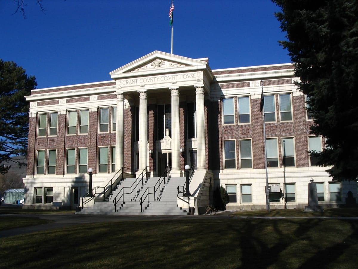
Photo: Wikipedia
Strategic Assessment of Grant County
Workable tactical position. Some exposure to population density or targets, but generally defensible in a crisis.
What does the Strategic Assessment tell us?
Our Strategic Assessment grades tactical survivability of an area. Major population centers, military targets, fallout zones, natural disasters, and border exposure all drive risk — lower exposure means a more defensible position in a crisis.
This is heavily inspired by Joel Skousen's Strategic Relocation book. Highly recommended you checkout the book ($)What does this tell us?
Our Strategic Assessment grades tactical survivability of an area. Major population centers, military targets, fallout zones, natural disasters, and border exposure all drive risk — lower exposure means a more defensible position in a crisis.
This is heavily inspired by Joel Skousen's Strategic Relocation book. Highly recommended you checkout the book ($)Strategic Pillars

Key Distances
Strategic Assessment Analysis
Geographic position and natural advantages of the Columbia Basin
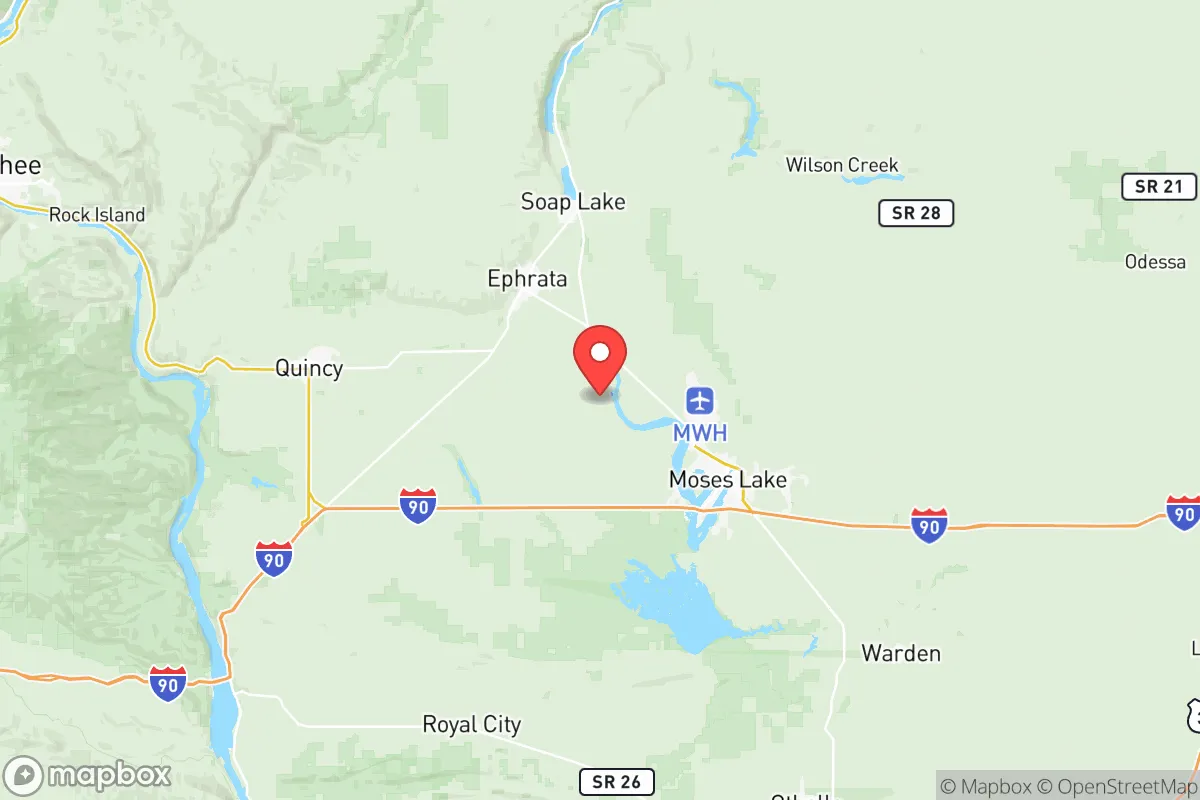
The county's core advantage is separation from the urban corridors that concentrate risk. Seattle and Tacoma sit about 170–190 miles west across the Cascade Range, and Portland is roughly 220 miles southwest—distances that put the Puget Sound ports, Boeing's Renton and Everett plants, and Joint Base Lewis-McChord outside any plausible immediate-impact radius for most scenarios. The Cascades act as a physical and weather barrier; Grant County sits in the rain shadow, which means fewer landslides, less flood exposure along the uplands, and a dry climate that limits rot, mold, and moisture-driven infrastructure failure. The Columbia River forms the county's western boundary near George and Beverly, and the Wanapum and Priest Rapids dams on that stretch, plus Grand Coulee upstream, give the region an unusually deep hydroelectric base. The Columbia Basin Project's irrigation network—fed from Grand Coulee via Banks Lake—underwrites the county's potato, onion, corn, and hay production, which is the kind of agricultural surplus that matters when supply chains tighten. Moses Lake's Grant County International Airport, a former Strategic Air Command base with one of the longest runways in the country, adds a logistics and emergency-landing asset that most rural counties simply don't have.
Risks, exposures, and proximity to fallout-relevant landmarks
No location is risk-free, and Grant County's exposures are worth naming plainly. The most significant man-made risk is Hanford Site, the former plutonium production complex about 45–60 miles south of Moses Lake along the Columbia in Benton County. Hanford is a decommissioned weapons facility with an active cleanup program and roughly 56 million gallons of radioactive waste in underground tanks; it is not an operating reactor, but it is the region's most fallout-relevant landmark and the reason downwind planning deserves attention. The Columbia Generating Station, a commercial nuclear plant, sits on the Hanford reservation near Richland, roughly 60 miles from Moses Lake. On the natural side, the Basin sits in a seismically active region—the 1872 North Cascades earthquake and the 1936 Milton-Freewater quake are regional reminders—and the Cascadia subduction zone to the west, while distant, is a scenario that would stress power and rail links statewide. Wildfire is a genuine seasonal risk across the shrub-steppe, and the county's irrigation-dependent agriculture means drought years and Columbia Basin Project water allocations are a real economic exposure. Winter storms and the occasional ice storm can isolate rural roads, and the county's distance from major trauma centers—Spokane and Seattle are the referral hubs—matters in a mass-casualty event. The upside: Grant County is far from the Puget Sound refinery corridor, the major ports, and the dense urban targets that dominate most threat assessments.
Practical resilience for a relocator: food, water, energy, and defensibility
For someone actually planning to put down roots, Grant County scores well on the fundamentals. Food is the standout: the county is one of the nation's top potato-producing regions, with major processors and storage facilities around Quincy, Warden, and Othello, and the surrounding Basin grows onions, corn, wheat, and tree fruit—meaning local caloric production is high and diversified. Water is abundant in aggregate thanks to the Columbia and the irrigation system, though individual parcels vary; well depth and water rights are worth verifying before purchase, and municipal systems in Moses Lake and Ephrata draw from wells and surface sources. Energy is a genuine strength: Grand Coulee and the mid-Columbia dams provide hydroelectric baseload, and the Basin has become a solar and data-center hub—Microsoft, and more recently other hyperscalers, operate large facilities around Quincy and Moses Lake—which cuts both ways, adding grid load but also redundancy and economic depth. Defensibility is moderate: the county is large and sparsely populated outside Moses Lake, rural properties offer space and separation, and the terrain is open enough for visibility but lacks the natural choke points of mountain valleys. Practical prep looks like stored water and a backup well or cistern, a generator or solar array given the reliable but storm-vulnerable grid, a wildfire-defensible perimeter with cleared brush, and a radio plan—the county's emergency management and the Grant County Sheriff's Office run alert systems worth registering for. Moses Lake and Ephrata have hospitals (Samaritan Healthcare in Moses Lake, Columbia Basin Hospital in Ephrata), which matters more than most preppers admit.
The strategic picture for Grant County is a county that trades urban convenience for distance from the highest-consequence targets, backed by real food and hydropower depth. It is not a fortress—Hanford and the Columbia Generating Station are within a day's drive, wildfire and drought are live risks, and medical and logistics reach is thin compared to the I-5 corridor. But for a family or individual prioritizing self-sufficiency, the combination of agricultural surplus, hydroelectric power, a dry and geologically stable plateau, and separation from the Puget Sound's ports and refineries makes Grant County one of the more rational rural choices in Washington—provided you go in with eyes open on water rights, wildfire defensibility, and the reality that the nearest Level I trauma center is hours away.

* Values derived from national, state, county, city and local statistics and may differ in a specific area. Last updated: 2026-11-03T09:56:57.000Z
Narrative content on this page is AI-generated and may contain mistakes. Verify any details that matter before acting on them.
ReloMaps may earn a commission from affiliate links at no extra cost to you.

