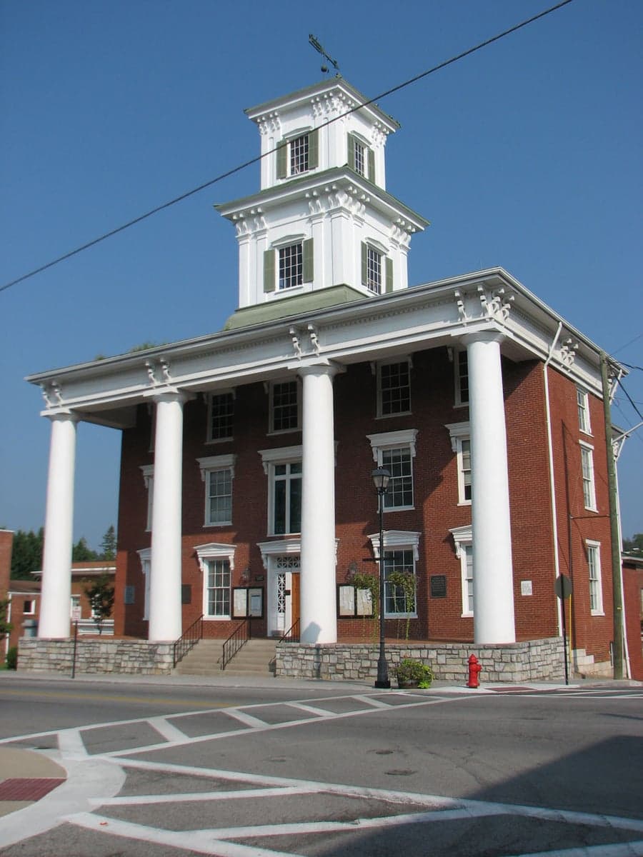
Photo: Wikipedia
Strategic Assessment of Washington County
Workable tactical position. Some exposure to population density or targets, but generally defensible in a crisis.
What does the Strategic Assessment tell us?
Our Strategic Assessment grades tactical survivability of an area. Major population centers, military targets, fallout zones, natural disasters, and border exposure all drive risk — lower exposure means a more defensible position in a crisis.
This is heavily inspired by Joel Skousen's Strategic Relocation book. Highly recommended you checkout the book ($)What does this tell us?
Our Strategic Assessment grades tactical survivability of an area. Major population centers, military targets, fallout zones, natural disasters, and border exposure all drive risk — lower exposure means a more defensible position in a crisis.
This is heavily inspired by Joel Skousen's Strategic Relocation book. Highly recommended you checkout the book ($)Strategic Pillars

Key Distances
Strategic Assessment Analysis
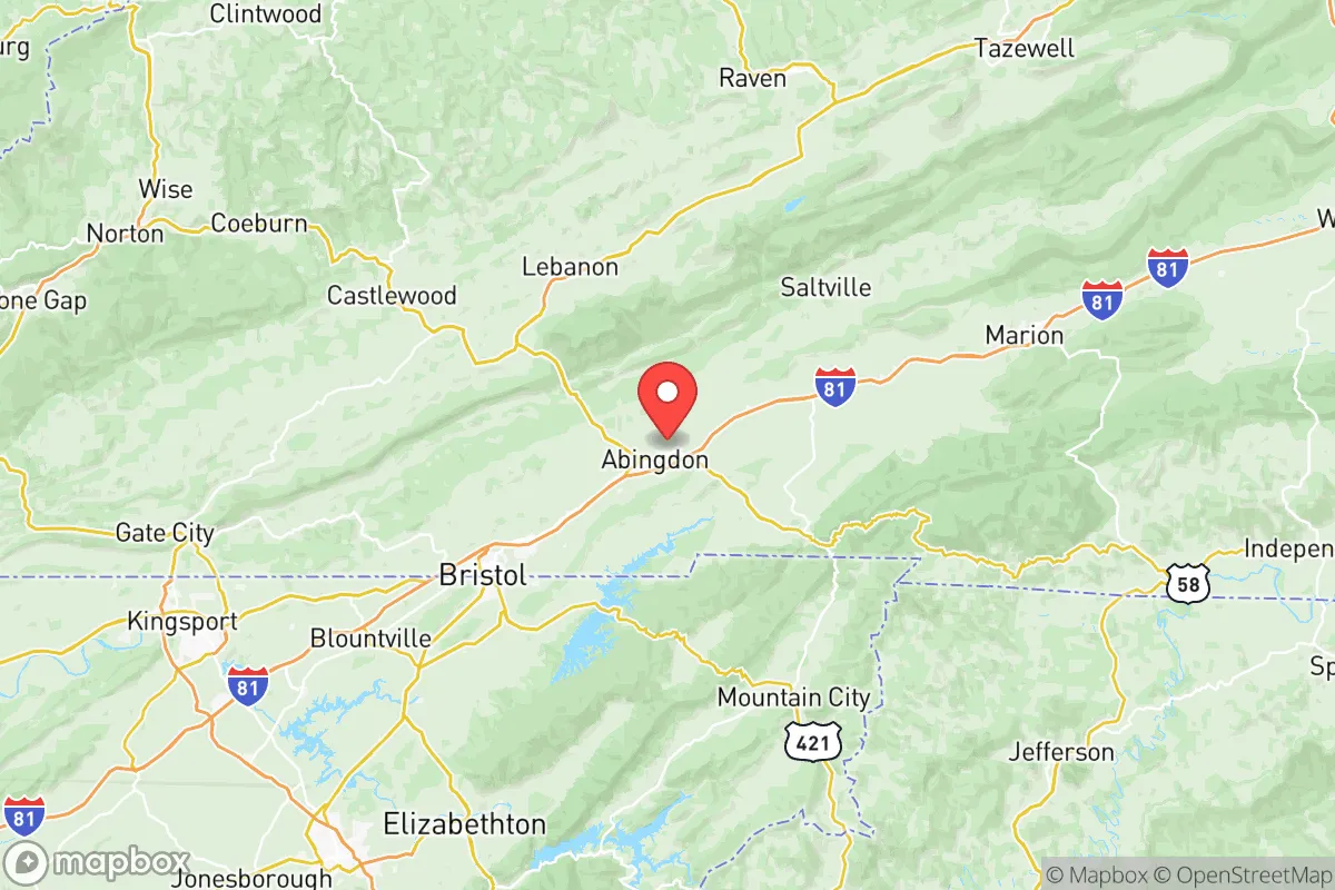
Washington County, Virginia, offers a strategic resilience profile that stands out in the mid-Atlantic for its combination of mountain geography, low population density, and distance from primary strategic targets. The county seat of Abingdon sits roughly 130 miles from the Roanoke metropolitan area and over 200 miles from both the Washington, D.C. beltway and the Hampton Roads naval complex, placing it outside the immediate blast and fallout zones of the East Coast's most likely disruption corridors. For a relocator weighing disaster readiness alongside daily livability, the county's position along the Interstate 81 corridor provides a practical balance of access and isolation.
Geographic position and natural defensive advantages
Washington County's terrain is its first line of defense in a resilience assessment. The county straddles the transition from the Blue Ridge to the Appalachian Plateau, with the Clinch Mountain range running along its northern border and the Holston River cutting through the central valley. This topography creates natural chokepoints and elevation advantages that make the area inherently more defensible than flat, open terrain. The county's population of roughly 54,000 is spread across small towns like Abingdon, Damascus, and Glade Spring, meaning no single concentration of people creates a vulnerability or a target. The elevation ranges from about 1,800 feet in the valley floor to over 4,000 feet on Whitetop Mountain, which translates to cooler summers, reliable rainfall, and a growing season that, while shorter than the Deep South, is workable for serious food production.
The area's distance from high-value infrastructure is a genuine asset. The nearest major military installation is Fort Barfoot (formerly Fort Pickett), about 90 miles to the east near Blackstone, and the Radford Army Ammunition Plant sits roughly 70 miles northeast in Pulaski County. Neither is a primary strategic target on the scale of Norfolk Naval Station or the Pentagon, and the prevailing westerly winds would carry any fallout from those sites away from Washington County in most scenarios. The county's position in the Tennessee River watershed, draining toward Knoxville rather than toward the Chesapeake Bay, also means that waterborne contamination from coastal or mid-Atlantic events would not flow through this region.
Risk exposure and proximity to fallout-relevant landmarks
No resilience assessment is honest without acknowledging the region's actual risk profile. Washington County sits within the New Madrid seismic zone's outer influence, though the 1811-1812 earthquakes that reshaped the Mississippi River valley caused only minor damage here. The more immediate geological risk is from the numerous inactive coal mines in neighboring Wise and Russell counties, which can cause subsidence issues but pose no threat to the Abingdon valley floor. The county's real exposure is to winter weather — ice storms and heavy snow can knock out power for days, particularly in the higher elevations around Whitetop and along the Clinch Mountain ridgeline. The 2021 Valentine's Day storm left parts of the county without power for nearly a week, a reminder that grid fragility is the most probable disruption scenario.
In terms of man-made risks, the county is notably clear of the hazards that plague other regions. There are no nuclear power plants within 100 miles — the nearest are Watts Bar and Sequoyah in Tennessee, both over 90 miles to the southwest. The Bristol industrial corridor, just 15 miles south across the state line, includes some chemical manufacturing, but nothing on the scale of the Houston refinery belt or the New Jersey chemical coast. The most significant regional infrastructure is the Dominion Energy natural gas storage facility in nearby Saltville, which presents a localized hazard but not a regional one. For a relocator specifically screening for fallout exposure and proximity to strategic targets, Washington County ranks favorably against nearly any location east of the Mississippi.
Practical resilience for daily life and crisis scenarios
Food and water security in Washington County are genuinely strong, which matters for a household serious about self-sufficiency. The county's agricultural base is diverse — beef cattle, poultry, and row crops dominate — and the Abingdon Farmers Market operates year-round, connecting residents directly to dozens of local producers. The region's water supply comes primarily from the South Holston Lake and the North Fork of the Holston River, both managed by the Tennessee Valley Authority, which maintains redundant reservoir capacity that is more robust than most municipal systems. For a relocator looking to drill a well or tap a spring, the county's groundwater tables are reliable, and the mountainous terrain offers numerous gravity-fed spring sites on larger parcels.
Energy resilience is the weakest link in the county's profile, but it is also the most addressable. The grid here is served by Appalachian Power, and outages are more frequent than in urban areas due to the tree canopy and mountainous terrain. However, this same terrain makes the county well-suited for solar and micro-hydro generation. Several local farms in the Glade Spring and Meadowview areas have already installed off-grid solar arrays with battery storage, and the county's building codes do not restrict such installations. Wood heat is a practical option — the county is within the Jefferson National Forest's firewood permit zone, and the local timber industry means seasoned firewood is readily available at reasonable prices. Propane delivery is widespread, and most rural properties have or can easily add 500-gallon tanks.
For defensibility and community resilience, the county's social fabric is an underappreciated asset. The region has a strong tradition of mutual aid — the Damascus community's response to the 2022 flooding demonstrated that neighbors mobilize quickly without waiting for official assistance. The county's volunteer fire departments cover all rural areas, and the Washington County Sheriff's Office maintains a visible presence throughout the county, not just in Abingdon. The local healthcare system, anchored by Johnston Memorial Hospital in Abingdon, is adequate for routine care and trauma stabilization, though serious cases require transport to Bristol Regional Medical Center or, for the most complex cases, Wake Forest Baptist in Winston-Salem, about 90 minutes away.
The overall strategic picture for Washington County is one of quiet competence rather than dramatic advantage. It lacks the year-round growing season of the Deep South and the extreme isolation of the Mountain West, but it offers something arguably more valuable for a relocating family: a realistic, livable resilience that does not require abandoning modern life. The county's position along I-81 means supply chains remain accessible during normal times, while its mountain valleys and dispersed population provide meaningful buffers during disruptions. For a household that wants to be prepared without being paranoid, Washington County represents a defensible middle ground — close enough to civilization to function, far enough from the targets to survive what comes.

* Values derived from national, state, county, city and local statistics and may differ in a specific area. Last updated: 2026-11-01T14:23:49.000Z
Narrative content on this page is AI-generated and may contain mistakes. Verify any details that matter before acting on them.
ReloMaps may earn a commission from affiliate links at no extra cost to you.

