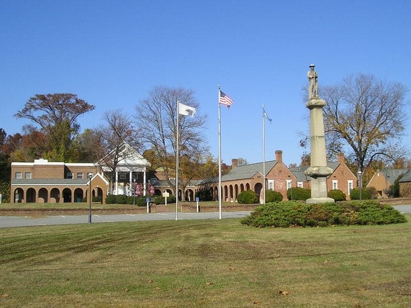
Photo: Wikipedia
Strategic Assessment of Isle of Wight County
Meaningful friction. Expect exposure to either population pressure, blast zones, or natural disaster risk. Consider buying a retreat property.
What does the Strategic Assessment tell us?
Our Strategic Assessment grades tactical survivability of an area. Major population centers, military targets, fallout zones, natural disasters, and border exposure all drive risk — lower exposure means a more defensible position in a crisis.
This is heavily inspired by Joel Skousen's Strategic Relocation book. Highly recommended you checkout the book ($)What does this tell us?
Our Strategic Assessment grades tactical survivability of an area. Major population centers, military targets, fallout zones, natural disasters, and border exposure all drive risk — lower exposure means a more defensible position in a crisis.
This is heavily inspired by Joel Skousen's Strategic Relocation book. Highly recommended you checkout the book ($)Strategic Pillars

Key Distances
Strategic Assessment Analysis
Isle of Wight County, Virginia, offers a strategic blend of rural self-sufficiency and proximity to critical infrastructure that makes it a compelling option for relocation-minded individuals and families. The county’s position west of the Hampton Roads metro area provides a buffer from dense urban populations while keeping major military and industrial assets within a practical driving distance. For a reader weighing disaster preparedness and long-term sustainability, Isle of Wight presents a defensible, resource-rich environment with measurable trade-offs in risk exposure.
Geographic position and natural advantages for long-term sustainability
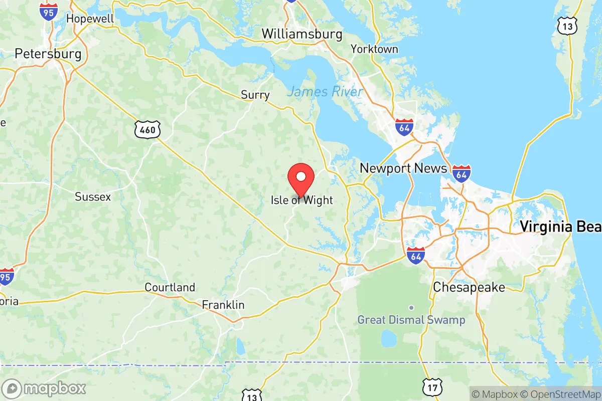
Isle of Wight County sits on the south side of the James River, directly across from the historic port city of Smithfield and roughly 30 miles west of Norfolk and Virginia Beach. This placement is significant: it is far enough from the coast to avoid the worst of hurricane storm surge, yet close enough to the Chesapeake Bay and Atlantic shipping lanes to access supply chains and emergency resources. The county’s interior is dominated by working farmland, timberland, and the Blackwater River watershed, which provides natural water sources and a degree of topographic separation from the more developed eastern cities.
The county seat, also named Isle of Wight, and the town of Windsor anchor the western and central portions, while Smithfield serves as the eastern commercial hub. The terrain is gently rolling, with elevations ranging from 20 to 80 feet above sea level, which means most of the county drains well and avoids the chronic flooding seen in coastal localities like Norfolk or Hampton. The James River forms a natural northern boundary, and the Blackwater River marks the southern edge, giving the county a distinct geographic identity that aids in both defense and resource management.
For a relocator, the practical advantage is clear: Isle of Wight offers acreage, groundwater access, and a lower population density (roughly 38,000 residents across 316 square miles) than any of its immediate neighbors. The county is also within a 45-minute drive of the Port of Virginia in Norfolk, one of the busiest East Coast container terminals, which matters for anyone thinking about supply chain resilience or commercial logistics.
Risks, exposures, and proximity to fallout-relevant landmarks
The most significant risk factor for Isle of Wight County is its proximity to the Hampton Roads military-industrial complex. Naval Station Norfolk, the world’s largest naval base, is approximately 35 miles east, and Joint Base Langley-Eustis in Hampton is roughly 30 miles north. These installations are high-value targets in any conflict scenario, and a detonation or strike on either would place Isle of Wight within a plausible fallout plume depending on wind direction. The county is also within 50 miles of the Surry Nuclear Power Station, located just across the James River in Surry County, which adds a secondary radiological risk profile.
Industrial exposure is moderate but not negligible. The refinery corridor along the Elizabeth River in Norfolk and Chesapeake, including the Kinder Morgan terminal and various fuel storage facilities, sits about 40 miles east. A major incident there could affect air quality and fuel supply chains, though prevailing westerly winds would typically push plumes away from Isle of Wight. The county itself hosts no major heavy industry, which is a double-edged sword: it reduces local hazard risk but also means fewer high-paying industrial jobs and less redundancy in critical infrastructure.
Natural disaster exposure is comparatively low. Hurricane risk exists but is mitigated by the county’s inland position; the storm surge threat is minimal, and most flooding is limited to low-lying areas near the Blackwater and Pagan rivers. Tornado activity is rare, and the region’s seismic risk is negligible. The primary natural hazard is prolonged power outage during summer thunderstorms or winter ice events, which the county’s rural electric cooperatives typically restore within 24 to 72 hours.
Practical resilience for a relocator: food, water, energy, and defensibility
Isle of Wight County is one of the few remaining places in coastal Virginia where a family can realistically achieve meaningful self-sufficiency. The agricultural base is substantial — the county ranks in the top third of Virginia counties for farmland acreage, with soybeans, corn, peanuts, and livestock operations dominating. Smithfield Foods, headquartered in the town of Smithfield, operates one of the largest pork processing plants in the world, which means local food processing capacity is exceptional. For a relocator, this translates to direct access to farm stands, CSAs, and bulk purchasing from producers, often at prices well below urban grocery chains.
Water is a genuine strength. The county sits atop the Potomac aquifer system, and most rural properties have access to private wells at depths of 100 to 300 feet. Well water quality is generally good, though iron and sulfur content can require filtration. For surface water, the Blackwater River and its tributaries provide year-round supply, and the county’s fire departments maintain several dry hydrant systems for emergency drafting. A family with a well, a backup generator, and basic filtration equipment can secure a reliable water supply independent of municipal systems.
Energy resilience is moderate. Dominion Energy serves most of the county, and outages are more frequent than in urban areas due to overhead lines running through wooded terrain. However, the county’s rural character makes solar installation straightforward — most properties have unobstructed southern exposure, and net metering is available. Propane is widely used for heating and cooking, and multiple local suppliers offer bulk delivery. For defensibility, the county’s road network is a mixed bag: U.S. Route 258 and State Route 460 provide main arteries, but the interior is a maze of two-lane rural roads that are easy to monitor and, if necessary, control. The James River to the north and the Blackwater to the south create natural chokepoints that would slow any large-scale movement.
The overall strategic picture for a relocating family
Isle of Wight County is not a bug-out location; it is a live-in location with a realistic balance of access and isolation. The trade-off is straightforward: you gain agricultural self-sufficiency, water security, and a defensible rural footprint, but you accept proximity to Hampton Roads’ military targets and the associated fallout risk. For a family that wants to be prepared without abandoning employment opportunities, schools, or healthcare — Sentara Obici Hospital in Suffolk is 15 minutes from Smithfield, and Children’s Hospital of The King’s Daughters in Norfolk is 40 minutes away — Isle of Wight is a rational choice. The county’s low tax burden (Virginia has no personal property tax on vehicles, and Isle of Wight’s real estate rate is roughly $0.52 per $100 of assessed value) and its active agricultural extension office make it a practical, grounded option for those who take preparedness seriously without treating it as a lifestyle. It is not the most remote or the most fortified location in Virginia, but it is one of the most balanced.

* Values derived from national, state, county, city and local statistics and may differ in a specific area. Last updated: 2026-10-13T18:21:44.000Z
Narrative content on this page is AI-generated and may contain mistakes. Verify any details that matter before acting on them.
ReloMaps may earn a commission from affiliate links at no extra cost to you.

