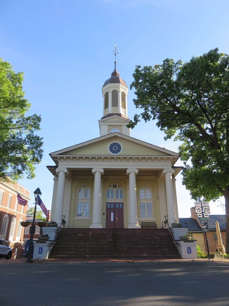
Photo: Wikipedia
Strategic Assessment of Fauquier County
Meaningful friction. Expect exposure to either population pressure, blast zones, or natural disaster risk. Consider buying a retreat property.
What does the Strategic Assessment tell us?
Our Strategic Assessment grades tactical survivability of an area. Major population centers, military targets, fallout zones, natural disasters, and border exposure all drive risk — lower exposure means a more defensible position in a crisis.
This is heavily inspired by Joel Skousen's Strategic Relocation book. Highly recommended you checkout the book ($)What does this tell us?
Our Strategic Assessment grades tactical survivability of an area. Major population centers, military targets, fallout zones, natural disasters, and border exposure all drive risk — lower exposure means a more defensible position in a crisis.
This is heavily inspired by Joel Skousen's Strategic Relocation book. Highly recommended you checkout the book ($)Strategic Pillars

Key Distances
Strategic Assessment Analysis
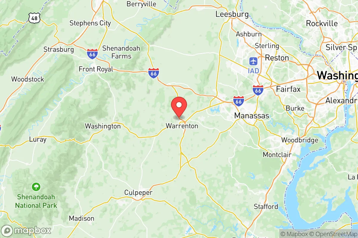
Fauquier County, Virginia, occupies a strategic middle ground that appeals to relocation-minded readers prioritizing resilience and self-sufficiency. Situated roughly 40 miles southwest of Washington, D.C., and 30 miles northwest of Richmond, the county benefits from proximity to major employment and infrastructure corridors while maintaining a distinctly rural character and a lower population density than the suburban sprawl of Northern Virginia. Its position along the eastern slope of the Blue Ridge Mountains provides natural barriers, varied microclimates, and access to the Rappahannock River watershed, making it one of the more defensible and resource-rich counties within a two-hour drive of the nation's capital. For a single individual or family weighing long-term preparedness alongside career access and community stability, Fauquier County offers a compelling balance of remoteness and connectivity.
Geographic position and natural advantages for long-term security
Fauquier County's geography is defined by the transition from the Piedmont plateau to the Blue Ridge foothills, with elevations ranging from roughly 200 feet along the Rappahannock River in the east to over 1,200 feet near the western boundary at Marshall and Upperville. This varied topography provides natural defensibility, multiple watersheds, and a cooler, less humid climate than the Tidewater region. The county is bisected by U.S. Route 29 and Interstate 66, offering direct routes to Washington, D.C., and Charlottesville, while secondary roads like State Routes 55 and 17 provide redundant evacuation or supply corridors that avoid major choke points. The Rappahannock River, which forms the county's northern border, is a reliable freshwater source, and the numerous creeks and springs in the western part of the county—particularly around Rectortown and Paris—offer off-grid water potential. The county's agricultural heritage, with over 1,000 farms covering roughly 40% of the land area, means that local food production is already established, and the presence of the Fauquier County Agricultural Fairgrounds in Warrenton underscores a community culture that values farming and self-reliance. The area's position in the Virginia Piedmont also places it outside the highest-risk zones for hurricanes, storm surges, and seismic activity, though it is not immune to severe thunderstorms, occasional tornadoes, and winter ice storms.
Risks, exposures, and proximity to fallout-relevant landmarks
The most significant risk for a resilience-minded relocator in Fauquier County is its proximity to Washington, D.C., and the associated concentration of federal government, military, and intelligence infrastructure. The county lies within the fallout and secondary-effects zone for any major event targeting the D.C. metropolitan area, including nuclear, biological, or cyber attacks. Quantico Marine Corps Base is approximately 25 miles east of Warrenton, and Fort Belvoir is roughly 30 miles northeast, both of which are high-value targets. Additionally, the county is within 50 miles of the Dulles International Airport corridor and the Leesburg area, which hosts significant data and communications infrastructure. While Fauquier itself contains no major military bases, refineries, or nuclear power plants—the nearest nuclear facility is the North Anna Power Station in Louisa County, about 50 miles southwest—the county's position along major transportation routes (I-66, U.S. 29, and the Norfolk Southern rail line) means it could experience significant refugee flow or supply chain disruption during a regional crisis. Natural disaster risks are moderate: the county is in FEMA's Zone X (minimal flood risk) for most areas, though low-lying areas along the Rappahannock and its tributaries are subject to periodic flooding. The western mountains can experience heavy snow and ice storms that isolate communities for days, as seen in the 2016 and 2018 winter storms that left parts of Marshall and Orlean without power for up to a week. Wildfire risk is low but not zero, particularly in dry summers when brush fires can spread quickly in the rural western areas.
Practical resilience for a relocator: food, water, energy, and defensibility
For a relocator focused on practical self-sufficiency, Fauquier County offers strong fundamentals. The county's agricultural base means that local food production is not just possible but already active: the Warrenton Farmers Market operates year-round, and dozens of farms offer CSA shares, pasture-raised meats, and raw dairy through herd-share agreements. The Fauquier County Cooperative Extension provides resources on gardening, livestock, and food preservation, and the county's zoning allows for small-scale agriculture on parcels as small as 2-3 acres in most rural areas. Water availability is generally good, with the Rappahannock River and the Lake Brittle reservoir near Warrenton providing surface water, while groundwater wells are common in rural areas—though well yields vary significantly by location, with the western mountains generally having lower yields than the eastern Piedmont. Energy resilience is mixed: Dominion Energy provides grid electricity, and outages are common during storms, but the county's rural character means that solar panel installations are feasible on most properties without HOA restrictions, and wood-burning stoves are common in older homes. The county has no natural gas distribution outside of Warrenton, so propane tanks are standard for heating and cooking in rural areas. Defensibility is a key advantage: the county's low population density (roughly 110 people per square mile), combined with its rolling hills, wooded areas, and limited road access in the western part of the county, makes it easier to secure a property or retreat than in denser suburban areas. The Fauquier County Sheriff's Office has a strong community policing presence, and the county's volunteer fire departments and rescue squads are well-organized, though response times in the far western areas can exceed 20 minutes. For a relocator willing to invest in well water, solar power, and food production, Fauquier County provides a realistic foundation for long-term resilience without requiring a complete retreat from modern life.
The overall strategic picture for Fauquier County is one of calculated trade-offs. It offers genuine geographic advantages—defensible terrain, abundant water, established agriculture, and a community culture that values self-reliance—while remaining within commuting distance of high-paying jobs in Northern Virginia and Washington, D.C. The primary vulnerability is its proximity to a high-value target zone, which means that any major event affecting the capital region would have secondary effects on the county, including potential refugee influx, supply chain disruption, and fallout risks. However, for a relocator who is willing to prepare—by storing supplies, diversifying water sources, and building community ties—Fauquier County represents one of the more viable options within the Mid-Atlantic region for balancing career access with genuine preparedness. The county's combination of rural character, agricultural infrastructure, and strategic location makes it a strong candidate for anyone serious about long-term resilience without abandoning the benefits of proximity to a major metropolitan area.

* Values derived from national, state, county, city and local statistics and may differ in a specific area. Last updated: 2026-07-26T14:59:00.000Z
Narrative content on this page is AI-generated and may contain mistakes. Verify any details that matter before acting on them.
ReloMaps may earn a commission from affiliate links at no extra cost to you.

