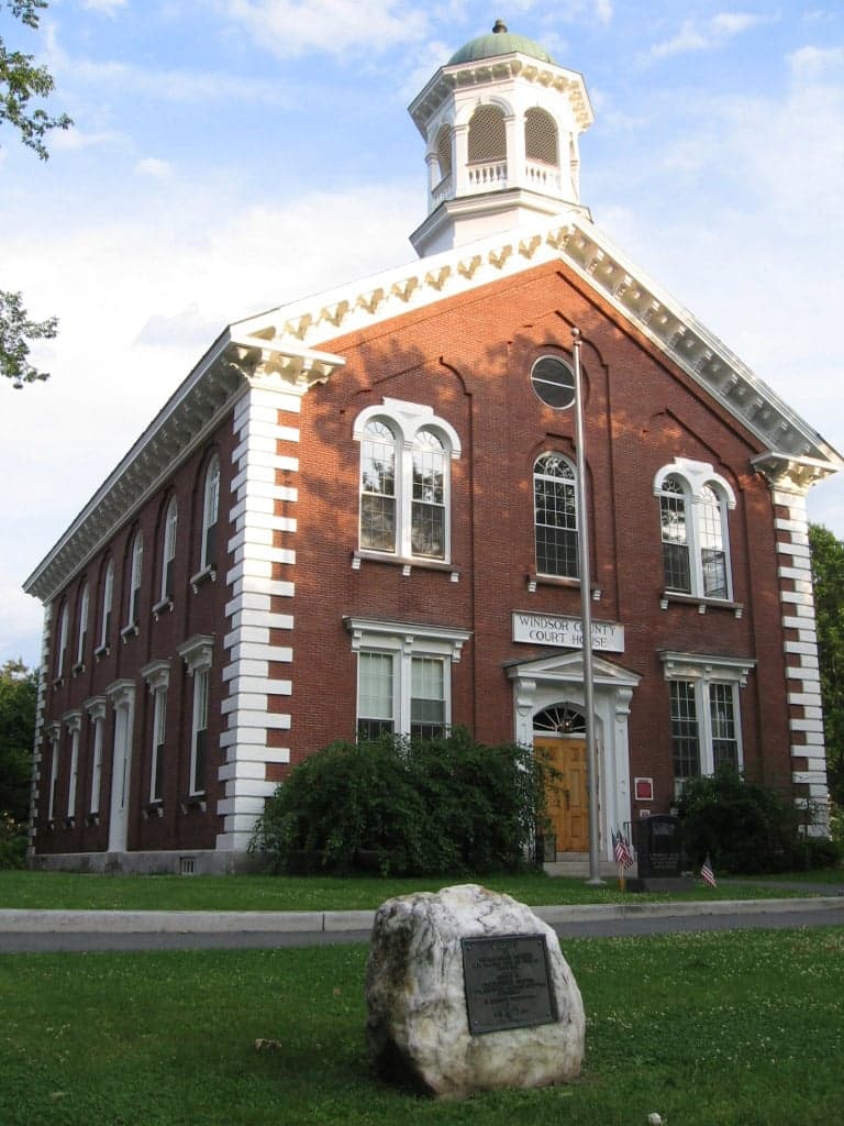
Photo: Wikipedia
Strategic Assessment of Windsor County
Meaningful friction. Expect exposure to either population pressure, blast zones, or natural disaster risk. Consider buying a retreat property.
What does the Strategic Assessment tell us?
Our Strategic Assessment grades tactical survivability of an area. Major population centers, military targets, fallout zones, natural disasters, and border exposure all drive risk — lower exposure means a more defensible position in a crisis.
This is heavily inspired by Joel Skousen's Strategic Relocation book. Highly recommended you checkout the book ($)What does this tell us?
Our Strategic Assessment grades tactical survivability of an area. Major population centers, military targets, fallout zones, natural disasters, and border exposure all drive risk — lower exposure means a more defensible position in a crisis.
This is heavily inspired by Joel Skousen's Strategic Relocation book. Highly recommended you checkout the book ($)Strategic Pillars

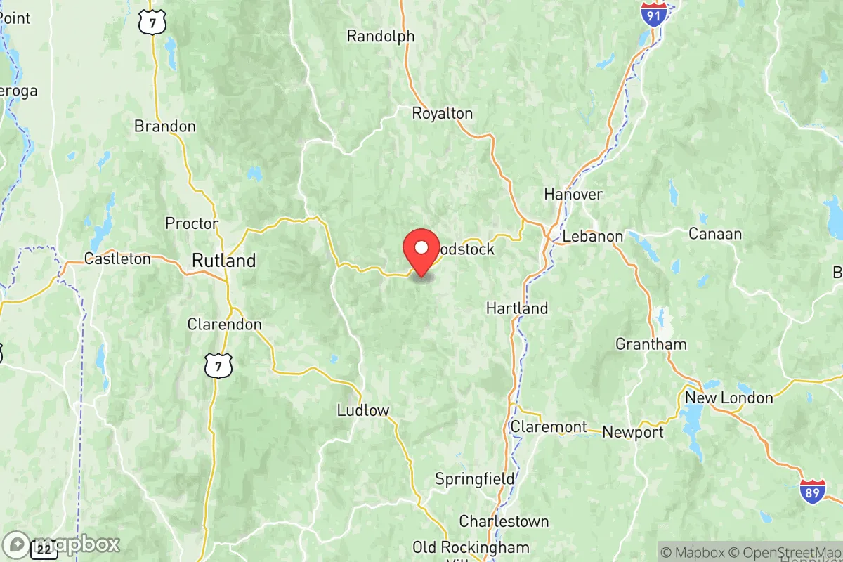
Key Distances
Strategic Assessment Analysis
Windsor County, Vermont, offers a compelling strategic profile for relocators prioritizing resilience and self-sufficiency, blending geographic isolation with practical access to essential infrastructure. The county’s position in the southeastern part of the state, anchored by the Connecticut River Valley and the spine of the Green Mountains, provides a natural buffer against many of the risks associated with dense urban corridors. For a conservative-leaning audience evaluating long-term security, Windsor County’s combination of defensible terrain, abundant natural resources, and distance from major fallout-relevant targets makes it a noteworthy candidate, though not without its own specific exposures.
Geographic position and natural advantages for long-term security
Windsor County’s topography is its primary strategic asset. The county is bisected by the Green Mountains, with the western half featuring rugged, forested ridges and the eastern half sloping down to the fertile Connecticut River Valley. This terrain naturally limits large-scale population movement and provides numerous choke points along the few major roads, such as Interstate 91 and U.S. Route 4. Towns like Woodstock and Quechee sit in protected valleys, while Rochester and Bethel are tucked into mountain hollows that offer significant visual and physical concealment. The county’s elevation, averaging over 1,000 feet, reduces flood risk compared to lower-lying areas, though the Connecticut River itself can pose localized flooding in towns like Windsor and Springfield. The region’s dense hardwood forests provide ample cover, firewood, and building materials, while the numerous streams, ponds, and the Ottauquechee and White Rivers offer reliable surface water sources. This geography makes Windsor County one of the more naturally defensible areas in New England, with limited ingress points that could be monitored or controlled if necessary.
Risks, exposures, and proximity to fallout-relevant landmarks
While Windsor County benefits from distance, it is not immune to risks. The most significant man-made exposure is the Vermont Yankee Nuclear Power Plant in Vernon, located roughly 30 miles south of the county line along the Connecticut River. Though decommissioned, the site still contains spent nuclear fuel in dry cask storage, which could be a target or a source of contamination in a major conflict or natural disaster. Prevailing winds from the south-southwest could carry fallout up the river valley toward towns like Springfield and Windsor. Additionally, the county sits within 150 miles of several high-value targets: Portsmouth Naval Shipyard in New Hampshire, the Boston metropolitan area, and the Albany region in New York. A major strike on any of these could produce secondary effects, such as refugee flow along I-91 or supply chain disruptions. Natural risks include severe winter storms, ice damage, and occasional flooding from rain-on-snow events. The county’s rural character means emergency services are spread thin; response times in the mountain towns can exceed 30 minutes. There are no major military bases or refineries within the county, which reduces its direct targeting risk, but the Lebanon, New Hampshire area just across the river hosts the Dartmouth-Hitchcock Medical Center, a regional trauma center that could become a chokepoint in a crisis.
Practical resilience for a relocator: food, water, energy, and defensibility
For a relocator focused on self-sufficiency, Windsor County offers strong fundamentals. Water is abundant: the county averages over 40 inches of precipitation annually, and most properties with well water have reliable access to groundwater. Surface water from the Connecticut River and its tributaries is plentiful, though treatment would be necessary. Food production is viable, with the Connecticut River Valley containing some of Vermont’s best agricultural soil. Towns like Weathersfield and Hartland have active farming communities, and the county has a robust network of farmers’ markets, CSAs, and small-scale livestock operations. For long-term food security, the growing season is short (roughly 120-150 days), so cold-hardy crops and greenhouse infrastructure are advisable. Energy resilience is mixed: the county is served by Green Mountain Power, which has invested in grid hardening, but rural areas are prone to outages from ice storms. Wood heat is the dominant backup, with ample local supply. Solar is viable, though snow cover in winter reduces output; battery storage is becoming more common. Defensibility is high due to the terrain, but the county’s population density (about 55 people per square mile) means that a determined group could still be located. The social fabric is tight-knit and generally self-reliant, with a strong tradition of mutual aid and town meeting governance. However, newcomers should invest in building local relationships before a crisis, as rural Vermonters are welcoming but cautious of outsiders. The county’s lack of a major interstate highway or rail hub reduces the risk of mass refugee influx, but I-91 and U.S. Route 4 are still viable evacuation corridors for urban populations from the south and east.
Overall, Windsor County presents a balanced strategic picture for the resilience-minded relocator. Its natural advantages—defensible terrain, abundant water, and agricultural potential—are tempered by real but manageable risks, including proximity to a decommissioned nuclear site and vulnerability to severe winter weather. The county is not a bunker; it is a working landscape where preparedness requires active participation in the local community and investment in off-grid infrastructure. For a family or individual willing to adapt to a rural, self-reliant lifestyle, Windsor County offers one of the more secure long-term positions in the Northeast, provided they account for the specific exposures outlined here. The key is to locate away from the Connecticut River floodplain and the I-91 corridor, favoring the mountain towns like Rochester or Bethel for maximum security.

* Values derived from national, state, county, city and local statistics and may differ in a specific area. Last updated: 2026-07-01T21:13:53.000Z
Narrative content on this page is AI-generated and may contain mistakes. Verify any details that matter before acting on them.
ReloMaps may earn a commission from affiliate links at no extra cost to you.

