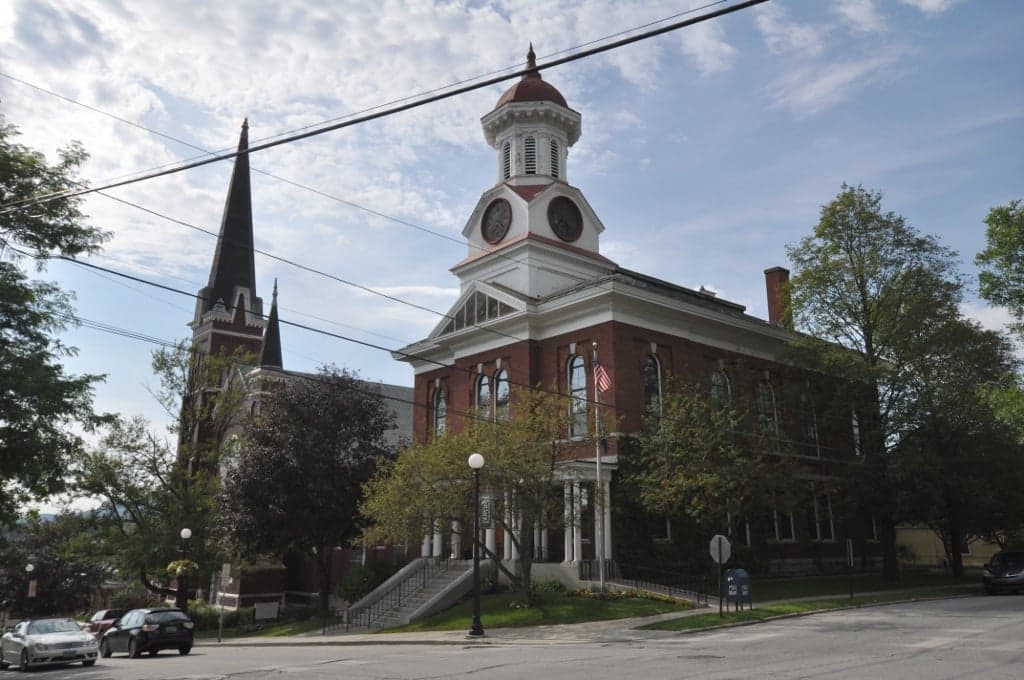
Photo: Wikipedia
Strategic Assessment of Rutland County
Meaningful friction. Expect exposure to either population pressure, blast zones, or natural disaster risk. Consider buying a retreat property.
What does the Strategic Assessment tell us?
Our Strategic Assessment grades tactical survivability of an area. Major population centers, military targets, fallout zones, natural disasters, and border exposure all drive risk — lower exposure means a more defensible position in a crisis.
This is heavily inspired by Joel Skousen's Strategic Relocation book. Highly recommended you checkout the book ($)What does this tell us?
Our Strategic Assessment grades tactical survivability of an area. Major population centers, military targets, fallout zones, natural disasters, and border exposure all drive risk — lower exposure means a more defensible position in a crisis.
This is heavily inspired by Joel Skousen's Strategic Relocation book. Highly recommended you checkout the book ($)Strategic Pillars

Key Distances
Strategic Assessment Analysis
Rutland County, Vermont, offers a strategic relocation option for those prioritizing resilience and self-sufficiency, balancing relative isolation from major metropolitan fallout zones with access to essential infrastructure. Its position in west-central Vermont, anchored by the city of Rutland, provides a mix of rural defensibility and practical connectivity, making it a viable base for a prepared household. The county’s geography and modest population density create a buffer against the cascading risks associated with large urban centers, while its local resources support a more independent lifestyle.
Geographic position and natural advantages for self-sufficiency
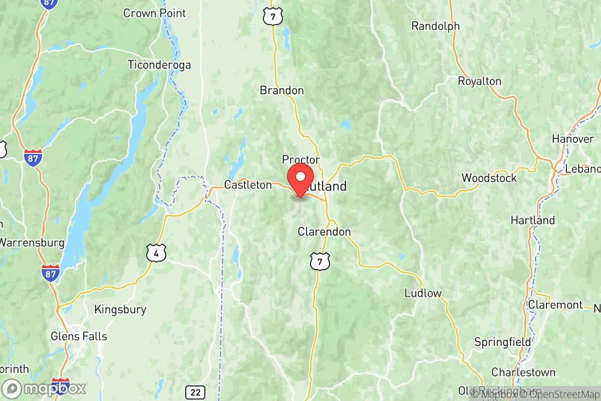
Rutland County sits in the Taconic Mountains and the western foothills of the Green Mountains, a landscape that naturally limits large-scale invasion or mass migration routes. The county’s eastern edge, near the Green Mountain National Forest, offers vast, sparsely populated terrain for retreat or resource gathering, while the western boundary along Lake Bomoseen and the Poultney River provides water access without the vulnerability of a major shoreline. The city of Rutland itself lies in a valley, but surrounding towns like Poultney, Castleton, and Brandon offer elevated, defensible positions with good agricultural soil. The region’s cold winters and short growing season are a trade-off, but they also deter casual transient populations and reduce the risk of vector-borne diseases. Proximity to Lake Champlain (roughly 30 miles west) provides a secondary water and trade corridor, though the lake’s shoreline is more exposed than the county’s interior hollows.
Risks, exposures, and proximity to fallout-relevant landmarks
Rutland County’s primary strategic weakness is its proximity to Vermont Yankee Nuclear Power Plant (decommissioned but still storing spent fuel) in Vernon, roughly 60 miles south—a distance that places it outside the most severe fallout zones but within a plausible contamination plume under adverse wind conditions. The county is also within 100 miles of the Port of Albany (a major fuel and chemical hub) and the Albany International Airport, both potential secondary targets in a conflict scenario. More immediate risks include the Rutland Regional Medical Center and the city’s downtown rail yard, which handles freight including propane and heating oil—localized hazards rather than national-level targets. Natural risks are moderate: the county lies in a seismically quiet zone, but heavy snowfall and ice storms can isolate rural roads for days. Flooding along the Otter Creek and Poultney River is a periodic concern for low-lying properties, particularly near Wallingford and Fair Haven.
Practical resilience for a relocator: food, water, energy, and defensibility
For a relocator focused on self-sufficiency, Rutland County offers strong fundamentals. Water is abundant from private wells, springs, and small streams across most properties, with the Vermont Department of Environmental Conservation reporting over 90% of the county’s households on private groundwater sources. Food production is viable in the Champlain Valley towns like Castleton and Benson, where dairy and vegetable farming dominate; the county has over 600 farms, many selling direct to consumers. Energy resilience is mixed: grid power is reliable in the Rutland City area but prone to outages in rural stretches; wood heating is common, and solar adoption is growing, though net metering policies have tightened. Defensibility is high in the eastern hill towns (e.g., Mount Holly, Shrewsbury) where narrow, winding roads and dense forest create natural chokepoints, but the open valleys near Rutland City are harder to secure. The county’s small population (roughly 37,000 in 2025) and low crime rate reduce the likelihood of social collapse, though the opioid crisis has strained local law enforcement and healthcare resources.
Overall, Rutland County presents a balanced strategic picture for a resilience-minded relocator: it avoids the high-risk density of the Northeast Corridor while retaining access to medical care, supply routes (US-4 and US-7), and regional trade. The trade-offs are real—harsh winters, modest economic opportunity, and a decommissioned nuclear plant within a day’s drive—but for a prepared individual or family, the county offers a defensible, resource-rich base that is neither a primary target nor a logistical dead end. It is not a bug-out location for a short-term crisis, but a viable long-term homesteading region for those willing to adapt to its climate and constraints.

* Values derived from national, state, county, city and local statistics and may differ in a specific area. Last updated: 2026-07-12T03:42:43.000Z
Narrative content on this page is AI-generated and may contain mistakes. Verify any details that matter before acting on them.
ReloMaps may earn a commission from affiliate links at no extra cost to you.

