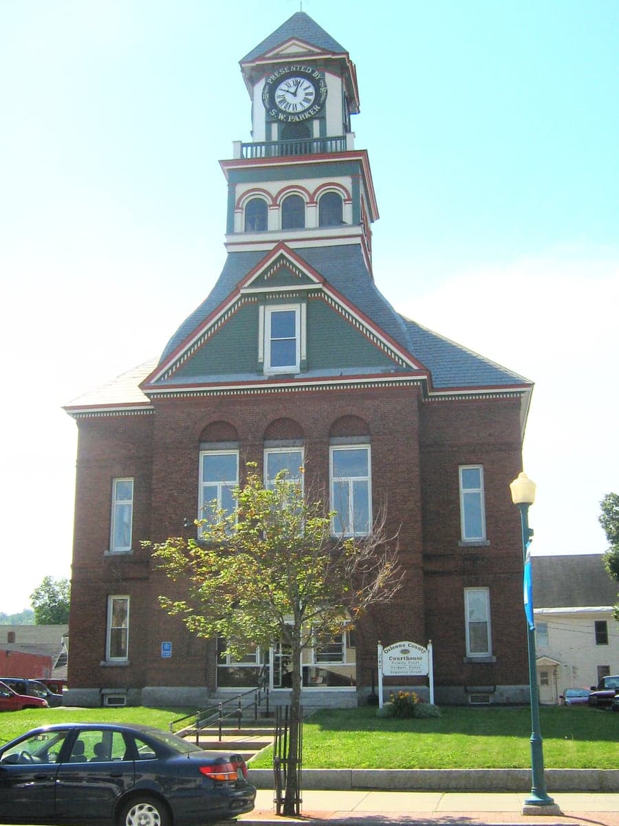
Photo: Wikipedia
Strategic Assessment of Orleans County
Meaningful friction. Expect exposure to either population pressure, blast zones, or natural disaster risk. Consider buying a retreat property.
What does the Strategic Assessment tell us?
Our Strategic Assessment grades tactical survivability of an area. Major population centers, military targets, fallout zones, natural disasters, and border exposure all drive risk — lower exposure means a more defensible position in a crisis.
This is heavily inspired by Joel Skousen's Strategic Relocation book. Highly recommended you checkout the book ($)What does this tell us?
Our Strategic Assessment grades tactical survivability of an area. Major population centers, military targets, fallout zones, natural disasters, and border exposure all drive risk — lower exposure means a more defensible position in a crisis.
This is heavily inspired by Joel Skousen's Strategic Relocation book. Highly recommended you checkout the book ($)Strategic Pillars

Key Distances
Strategic Assessment Analysis
Orleans County, Vermont, offers a compelling strategic profile for relocators prioritizing resilience and self-sufficiency, combining the natural defensibility of the Northeast Kingdom with a surprising degree of practical infrastructure. Its position along the Canadian border, anchored by the towns of Newport and Derby, provides a buffer from major metropolitan fallout zones while maintaining access to cross-border resources. The county’s low population density, working landscape, and distance from high-value strategic targets make it a location worth serious consideration for those assessing long-term stability and preparedness.
Geographic position and natural advantages for long-term stability
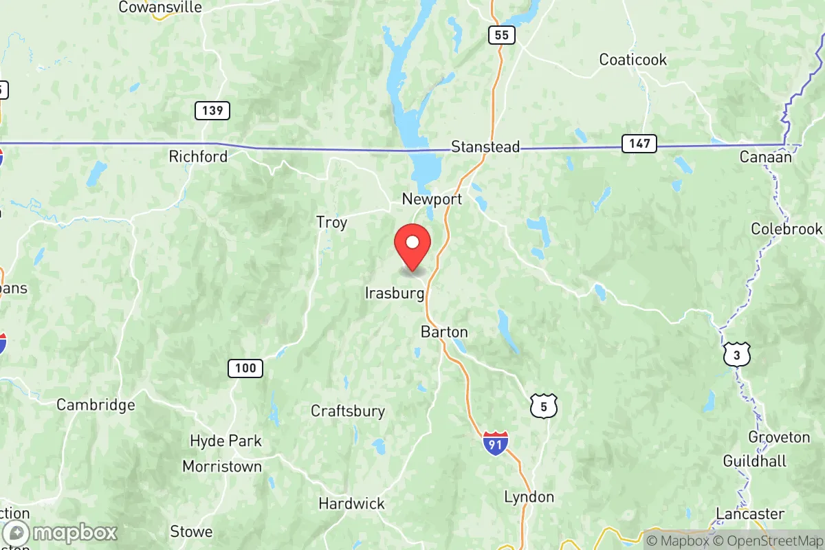
Orleans County sits in Vermont’s Northeast Kingdom, a region defined by the Green Mountains to the west and the Connecticut River watershed to the east. The county’s geography is dominated by Lake Memphremagog, a deep, 30-mile-long glacial lake that extends north into Quebec, with Newport at its southern tip. This lake is a massive, reliable freshwater resource — one of the cleanest large lakes in the region — and it feeds into the Magog River system, providing both water security and a natural barrier to the north. The terrain is rolling hills and forested ridges, not alpine peaks, which means the area is accessible year-round via state highways like US-5 and VT-105, yet still offers plenty of remote, hard-to-reach parcels for those seeking privacy. The county’s position roughly 100 miles from Montreal and 200 miles from Boston places it well outside the immediate blast and fallout zones of those major cities, while still allowing for supply runs or medical access in normal times. The climate is cold — average winter lows in the single digits — which acts as a natural filter against casual migration and reduces the viability of many biological pathogens, but also demands serious heating and winterization planning.
Risks, exposures, and proximity to fallout-relevant landmarks
Orleans County’s risk profile is relatively low compared to most of the continental US, but it is not immune. The most significant man-made risk comes from the Hydro-Québec power grid infrastructure that runs through the region, including high-voltage transmission lines and the Beauharnois and Gentilly-2 generating stations to the north in Quebec. While Gentilly-2 is permanently shut down, the transmission corridors and the Chalk River Laboratories nuclear research facility in Ontario (about 300 miles west) represent distant but non-zero concerns for fallout in a major incident. More immediate is the county’s proximity to the Port of Montreal and the Saint Lawrence Seaway — a major industrial and shipping corridor that could be a target in a conflict scenario. However, Orleans County itself contains no refineries, military bases, or major industrial targets. The closest US military installation of note is the Burlington Air National Guard Base at Patrick Leahy Burlington International Airport, about 90 miles southwest. Natural risks are dominated by winter storms, ice storms, and occasional flooding along the Barton River and Black River watersheds. The county is in a low seismic zone and has no active volcanoes, hurricanes are rare and weakened by the time they arrive, and wildfire risk is minimal due to the mixed hardwood-softwood forest composition and high moisture levels. The primary exposure for a relocator is economic isolation — the local economy is small, and supply chains can be disrupted by a single bad winter storm.
Practical resilience for a relocator: food, water, energy, and defensibility
For someone serious about self-sufficiency, Orleans County offers strong fundamentals. Water security is excellent: Lake Memphremagog is a massive, unfailing source, and the county’s numerous smaller lakes — including Lake Willoughby, Seymour Lake, and Echo Lake — provide distributed backup options. Groundwater is generally good, with many properties on drilled wells, though shallow wells in some areas can go dry during late summer droughts. Food production is viable but short-season: the growing zone is 4b-5a, with about 100-120 frost-free days. That’s enough for cold-hardy crops, root vegetables, and hay, but not corn or soybeans at scale. The county has a strong tradition of small dairy farming, maple sugaring, and backyard livestock. The Orleans County Fair in Barton reflects this agricultural culture, and there are active networks of local farmers and homesteaders. Energy resilience is a mixed picture: the grid is served by Vermont Electric Cooperative and is moderately reliable, but winter outages lasting 24-72 hours are common. Wood heat is the dominant backup — the county is heavily forested, and firewood is plentiful and affordable. Solar is viable but requires battery storage due to short winter days and heavy cloud cover; net metering is available but grid-tied systems are vulnerable to outages. Defensibility is one of the county’s strongest attributes. The terrain offers natural chokepoints: most access routes funnel through a handful of two-lane roads, and the Canadian border to the north provides a jurisdictional buffer. The population is sparse — roughly 27,000 people across 721 square miles — meaning low competition for resources in a crisis. The local culture is independent and self-reliant, with a strong tradition of mutual aid among neighbors, but outsiders should expect a cautious reception until they prove themselves. Newport, the county seat, has a small hospital (North Country Hospital), a regional airport, and basic retail, but major medical care and specialized supplies require a 90-minute drive to Burlington or a 2-hour drive to Montreal.
The overall strategic picture for Orleans County is one of strong natural resilience tempered by practical trade-offs. It offers excellent water resources, low exposure to man-made and natural disasters, and a defensible, low-density landscape that rewards preparation and self-sufficiency. The trade-offs are real: a short growing season, harsh winters, economic isolation, and a culture that values earned trust over open arms. For a relocator who is serious about preparedness and willing to invest in infrastructure — good wood heat, a reliable vehicle, a well-stocked pantry, and a network of local contacts — Orleans County represents one of the more viable long-term options in the northeastern United States. It is not a bug-out location for the unprepared; it is a place to build a life with eyes open and a chainsaw ready.

* Values derived from national, state, county, city and local statistics and may differ in a specific area. Last updated: 2026-07-02T19:46:59.000Z
Narrative content on this page is AI-generated and may contain mistakes. Verify any details that matter before acting on them.
ReloMaps may earn a commission from affiliate links at no extra cost to you.

