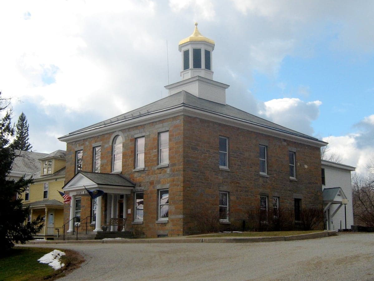
Photo: Wikipedia
Strategic Assessment of Grand Isle County
Meaningful friction. Expect exposure to either population pressure, blast zones, or natural disaster risk. Consider buying a retreat property.
What does the Strategic Assessment tell us?
Our Strategic Assessment grades tactical survivability of an area. Major population centers, military targets, fallout zones, natural disasters, and border exposure all drive risk — lower exposure means a more defensible position in a crisis.
This is heavily inspired by Joel Skousen's Strategic Relocation book. Highly recommended you checkout the book ($)What does this tell us?
Our Strategic Assessment grades tactical survivability of an area. Major population centers, military targets, fallout zones, natural disasters, and border exposure all drive risk — lower exposure means a more defensible position in a crisis.
This is heavily inspired by Joel Skousen's Strategic Relocation book. Highly recommended you checkout the book ($)Strategic Pillars

Key Distances
Strategic Assessment Analysis
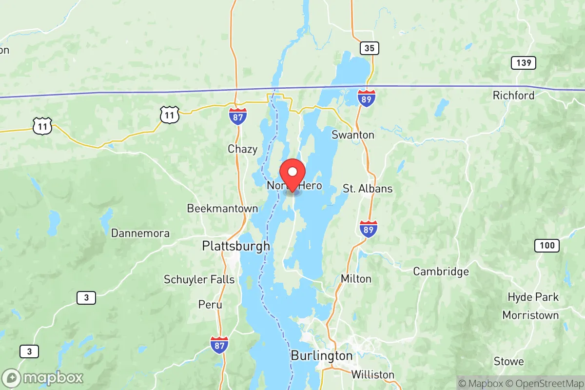
Grand Isle County, Vermont, offers a distinct strategic profile for relocators prioritizing disaster readiness and self-sufficiency, leveraging its island geography and rural character for significant resilience advantages. Located in Lake Champlain, the county comprises five main islands—including the towns of Grand Isle, North Hero, South Hero, and the village of Alburgh—connected to the mainland by bridges and ferries. Its position roughly 30 miles from Burlington and 45 miles from the Canadian border provides a balance of relative isolation with accessible regional resources, making it a plausible base for those assessing long-term security and preparedness.
Geographic position and natural advantages for self-sufficiency
The county’s island setting within Lake Champlain grants a natural moat-like defensibility uncommon in the Northeast. Access is limited to a handful of controlled points: the U.S. 2 causeway and bridge linking South Hero to Milton on the Vermont mainland, the Route 78 causeway connecting Alburgh to Swanton, and seasonal ferry services to Plattsburgh, New York, and to Cumberland Head and the Lake Champlain Islands of New York. This limited access reduces the risk of casual influx from urban centers during emergencies, a key consideration for a reader focused on strategic relocation. The lake itself is a massive freshwater resource—over 120 miles long—providing abundant water for drinking (with proper treatment or filtration), irrigation, and non-potable uses, a critical advantage over inland areas dependent on municipal supplies or shallow wells. The surrounding land is predominantly flat to gently rolling, with fertile soils that have historically supported apple orchards, dairy farms, and vegetable operations; South Hero in particular is known for its apple-growing heritage. The climate, classified as humid continental with cold winters and mild summers, supports three-season gardening with season-extending techniques, though the growing season is short (roughly 110–130 days). The county’s low population density—just under 7,000 residents spread across roughly 35 square miles of land area—means minimal competition for local resources in normal conditions, and its agricultural base offers a foundation for local food production that many suburban communities lack.
Risks, exposures, and proximity to fallout-relevant landmarks
While Grand Isle County avoids many urban-industrial risks, it is not without vulnerabilities that a preparedness-minded relocator must weigh. The most direct man-made risk comes from the Vermont Yankee Nuclear Power Station, a decommissioned plant located about 100 miles south in Vernon, Vermont—though its spent fuel is still stored on-site and it is not an active reactor. More relevant is the Plattsburgh Air Force Base (now decommissioned and redeveloped as a civilian airport) roughly 10 miles across the lake in New York; while closed, its past as a Strategic Air Command base indicates the region has been a target in prior threat assessments. The county lies roughly 80 miles from the Montreal metropolitan area (population 4.3 million), which, in a major national emergency, could generate mass outflow toward lake crossings. However, the borders are generally controlled, and the lake itself creates a choke point. Natural hazards are moderate: the region faces occasional severe winter storms, ice on Lake Champlain (which can impact ferry and bridge access), and very low seismic risk. Flooding is limited due to the islands’ elevation; most of the county sits well above lake level, though shoreline properties are at risk from storm surges. Tornadoes are rare, and wildfire risk is extremely low given the forest composition and moisture regime. No major refineries or chemical facilities exist within the county; the nearest large-scale energy infrastructure is the wind turbines on the nearby mainland ridges and the natural gas pipeline running through Addison County, about 20 miles away. Overall, the area is low on man-made risk compared to most U.S. counties, but the proximity to Montreal and the lake’s role as a transit corridor introduce strategic vulnerabilities.
Practical resilience for a relocator: food, water, energy, defensibility
For a relocator serious about self-sufficiency, Grand Isle County presents both strong natural assets and practical challenges. Water is arguably its greatest long-term advantage: Lake Champlain provides an essentially limitless source, and most homes on the islands have private wells or lake-access rights. However, treatment is essential—surface water requires filtration and boiling or chemical treatment to remove pathogens, and wells should be tested for contaminants like agricultural runoff or septic intrusion. Food independence is feasible but not automatic: the county’s agricultural land is concentrated in a few operations (dairy, hay, apples, and some vegetable farms in South Hero and North Hero), and local farmers’ markets operate seasonally. A family could realistically grow vegetables on a half-acre plot with decent soil, but grains and protein (livestock) require more space and expertise; hunting (white-tailed deer, waterfowl) and fishing (lake trout, bass, perch) are viable supplemental options. Energy is a weak point: the grid is supplied via Vermont Electric Co-op and Green Mountain Power, with no natural gas infrastructure on the islands—most homes use oil, propane, or wood for heat. Solar potential is moderate (about 4.5 sun hours per day), but net metering policies are favorable, and off-grid solar-battery setups are feasible for a determined relocator. Backup generators and wood stoves are nearly essential for extended outages. Defensibility is high: the county’s perimeter is water, and the few road and ferry access points can be monitored or secured by a small group. The population is small and tight-knit, which can foster mutual aid but also means a relocator should plan to integrate slowly. Local law enforcement coverage is minimal (sheriff’s department based in North Hero, plus Vermont State Police from the Bradford barracks), so community preparedness and personal security skills are necessary. The county’s distance from major military targets (nearest active base is Camp Ethan Allen Training Site in Jericho, Vermont, about 20 miles away) and absence of major industry reduce collateral risk.
Overall, Grand Isle County presents a balanced strategic picture: strong natural defenses and water access, moderate agricultural capacity, and low baseline risk, offset by limited energy infrastructure and a short growing season. For a relocator willing to invest in solar, wood heat, water filtration, and food-growing skills, the islands offer one of the most defensible and resource-rich environments in the Northeast. The compromise is isolation from larger markets and medical resources—the nearest hospital is Northwestern Medical Center in St. Albans (about a 30-minute drive from South Hero), and major trauma care requires a trip to Burlington. For those who value resilience over convenience, the county’s combination of lake access, low density, and controlled access points makes it a serious contender for a long-term preparedness-focused relocation.

* Values derived from national, state, county, city and local statistics and may differ in a specific area. Last updated: 2026-06-22T06:09:59.000Z
Narrative content on this page is AI-generated and may contain mistakes. Verify any details that matter before acting on them.
ReloMaps may earn a commission from affiliate links at no extra cost to you.

